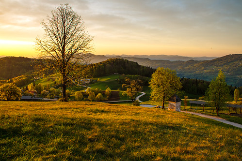
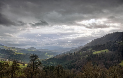
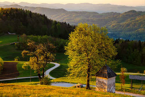
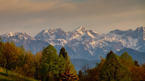
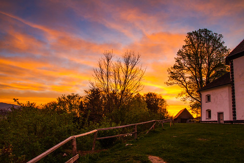
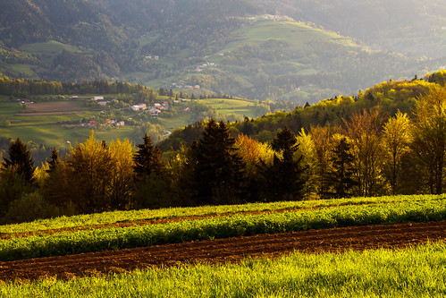
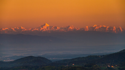
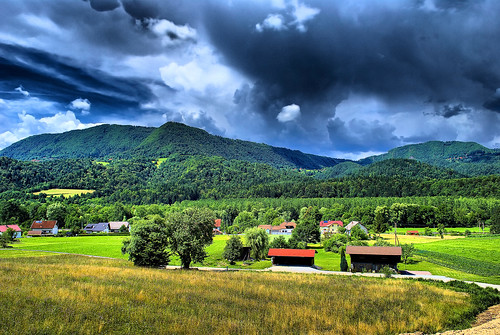
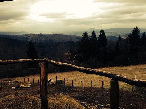
Elevation of Litija, Slovenia
Location: Slovenia > Litija > Municipality Of Litija >
Longitude: 14.8266015
Latitude: 46.0592305
Elevation: 239m / 784feet
Barometric Pressure: 98KPa
Related Photos:
Topographic Map of Litija, Slovenia
Find elevation by address:

Places near Litija, Slovenia:
Litija
Zgornji Hotič 27
24b
Kresnice
Municipality Of Litija
Drtija
Žvarulje 4, Izlake, Slovenia
Log 1, Blagovica, Slovenia
Municipality Of Lukovica
Vrh Pri Dolskem
Vrh pri Dolskem 1, Dol pri Ljubljani, Slovenia
Trojane
Zagorje Ob Savi
Zagorica Pri Velikem Gabru
Domžale
Peč 8, Grosuplje, Slovenia
Sveti Kriz
Družina
Grosuplje
Družina 1, Zagorje ob Savi, Slovenia
Recent Searches:
- Elevation of Corso Fratelli Cairoli, 35, Macerata MC, Italy
- Elevation of Tallevast Rd, Sarasota, FL, USA
- Elevation of 4th St E, Sonoma, CA, USA
- Elevation of Black Hollow Rd, Pennsdale, PA, USA
- Elevation of Oakland Ave, Williamsport, PA, USA
- Elevation of Pedrógão Grande, Portugal
- Elevation of Klee Dr, Martinsburg, WV, USA
- Elevation of Via Roma, Pieranica CR, Italy
- Elevation of Tavkvetili Mountain, Georgia
- Elevation of Hartfords Bluff Cir, Mt Pleasant, SC, USA
