Elevation of Ling Rd, Somerset, PA, USA
Location: United States > Pennsylvania > Somerset County > Milford Township >
Longitude: -79.170204
Latitude: 39.9895103
Elevation: 625m / 2051feet
Barometric Pressure: 94KPa
Elevation Map:
Satellite Map:
Related Photos:
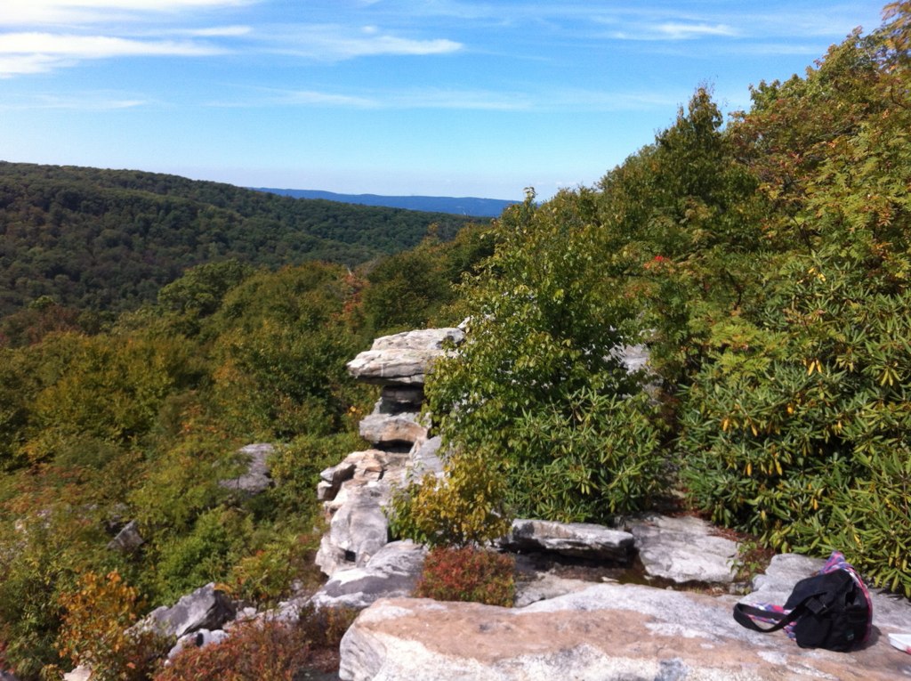
View to Ligonier
Balcony View

Another World
Just like a dream......

Green-legged Grasshopper - Melanoplus viridipes-species-group
View From Cabin Panorama

Golden-backed Snipe Fly - Chrysopilus thoracicus
A view from the hot tub at Seven Springs

Most likely Plagiodera sp.
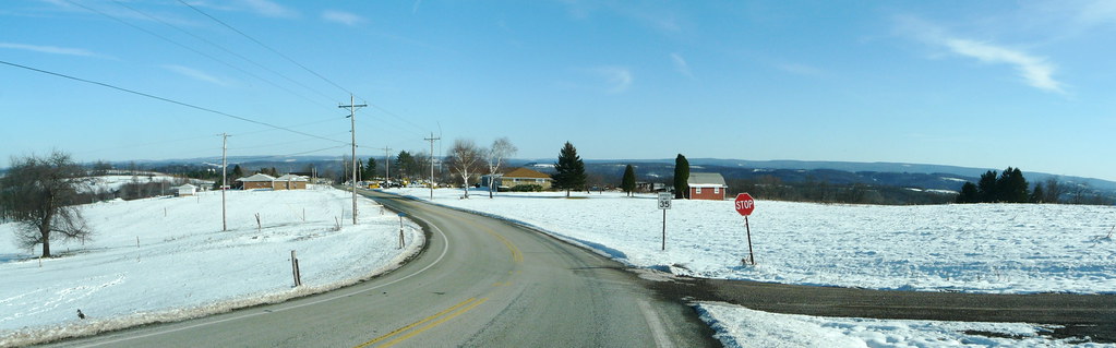
Hilltop view: Scullton, PA
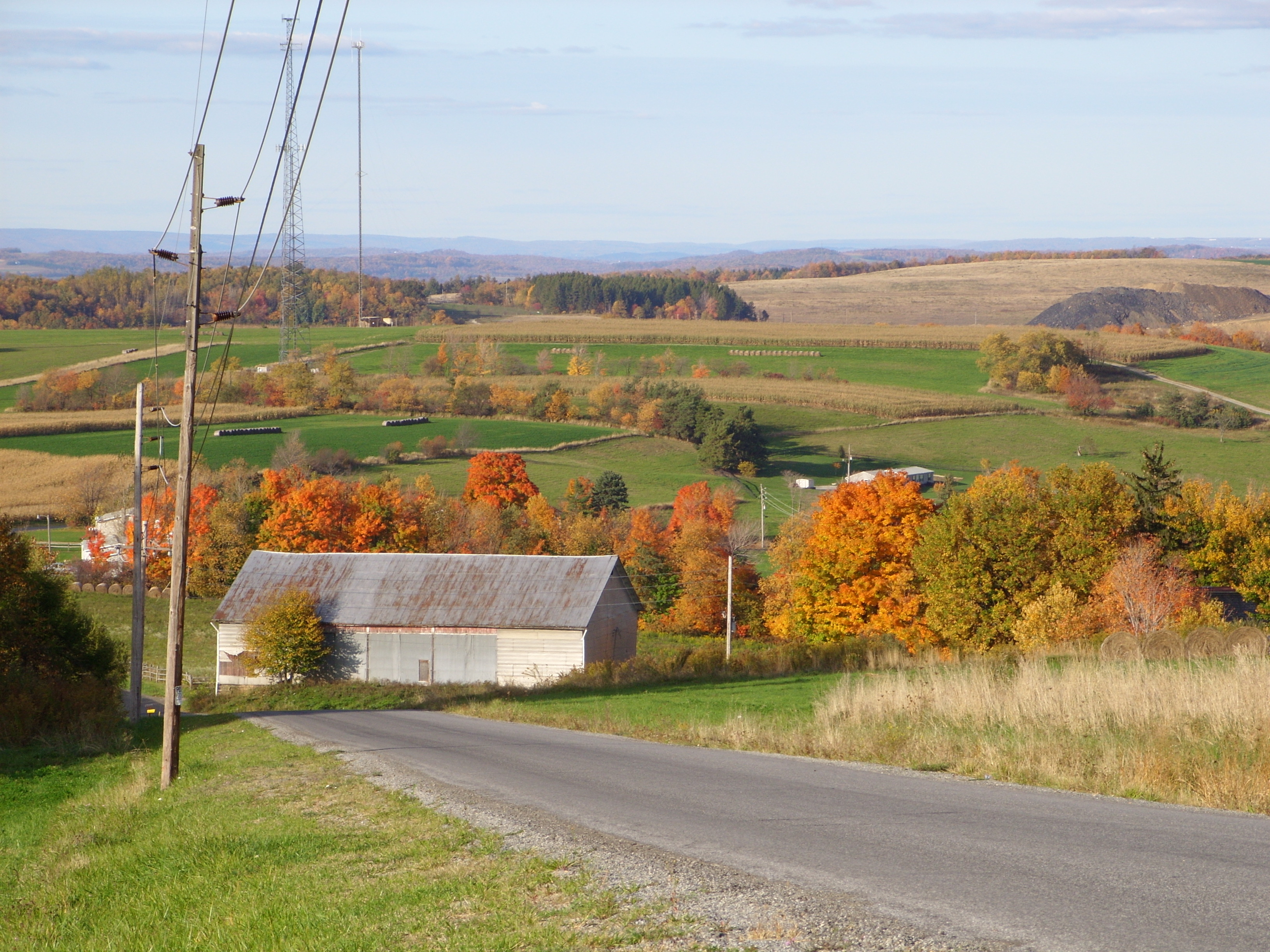
Fall Foliage
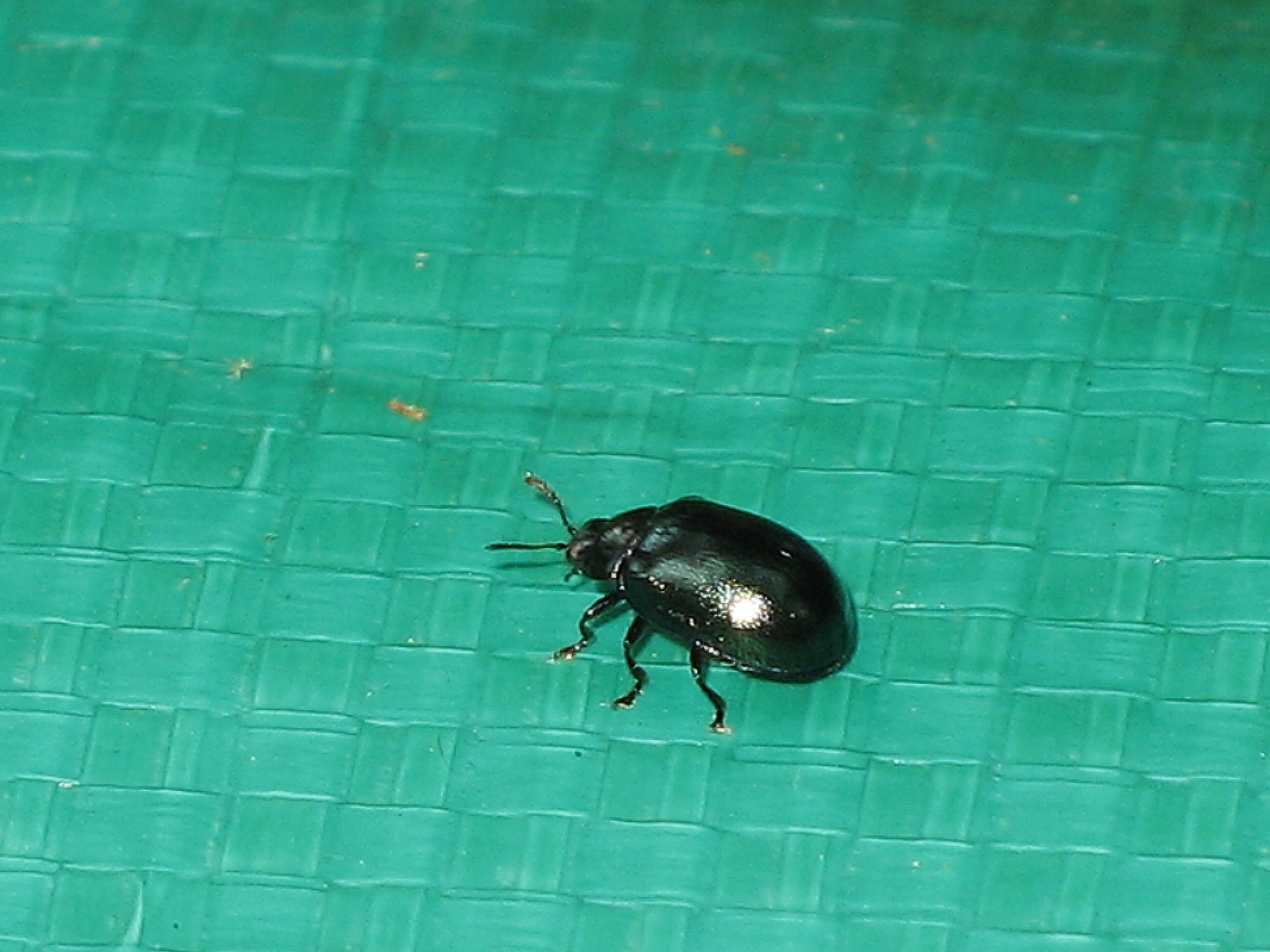
Most likely Plagiodera sp.

Quecreek Mine Rescue -- Somerset County, PA
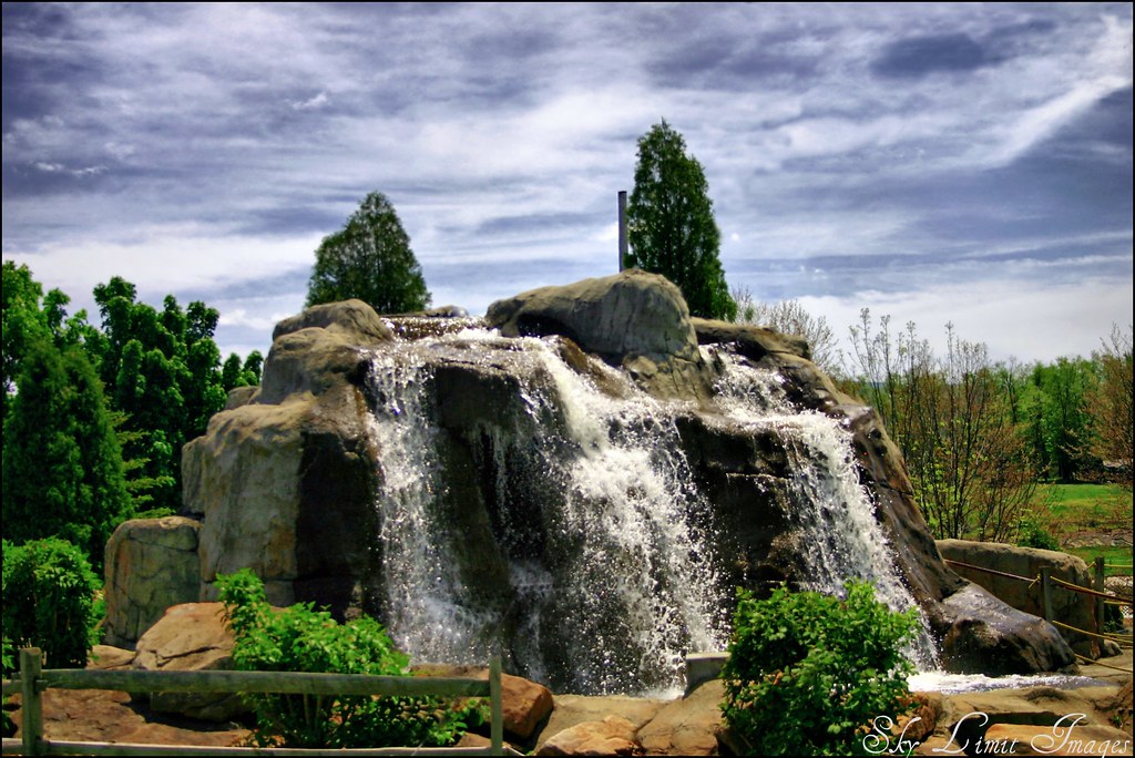
Seven Springs
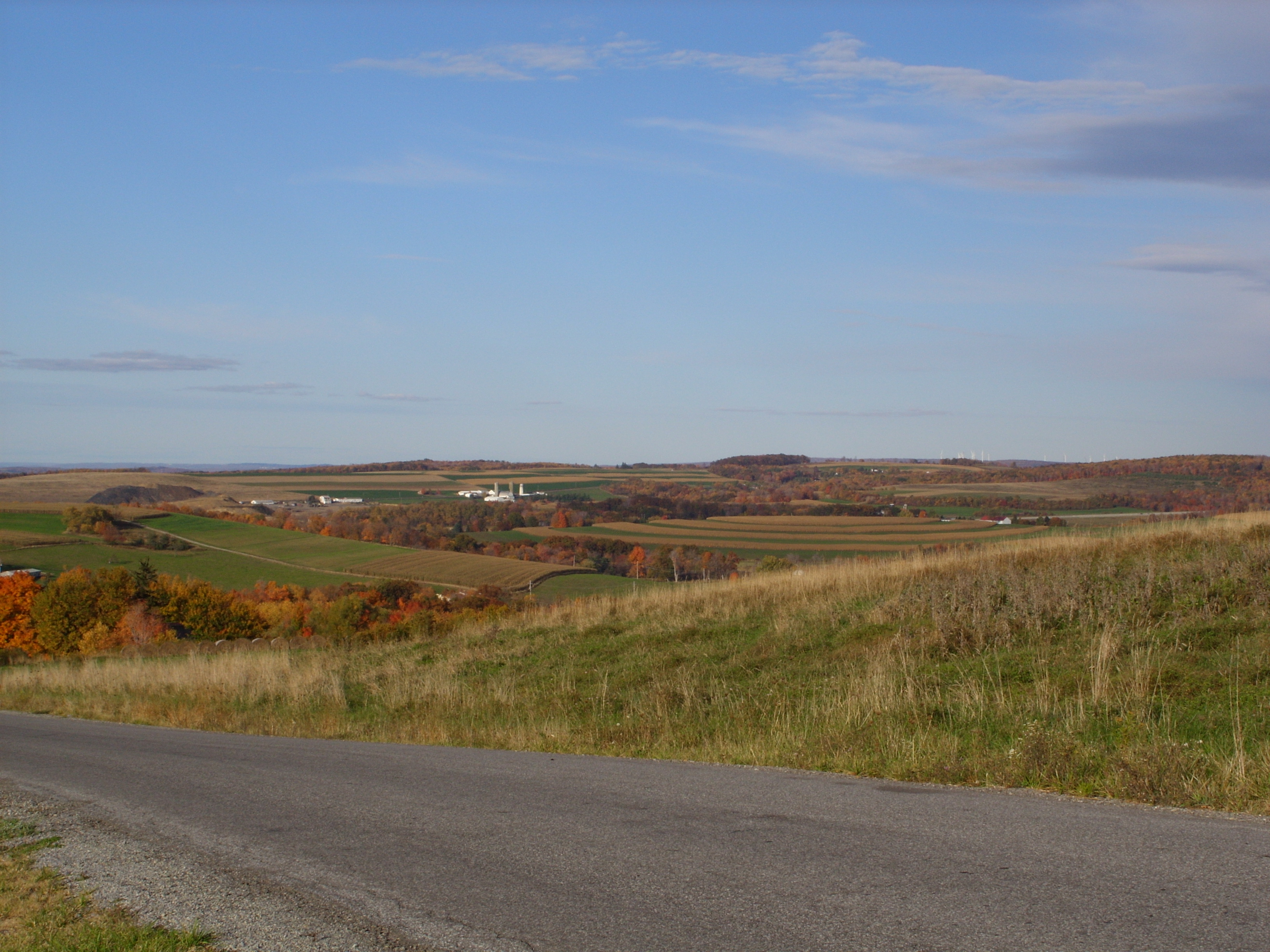
Fall Foliage
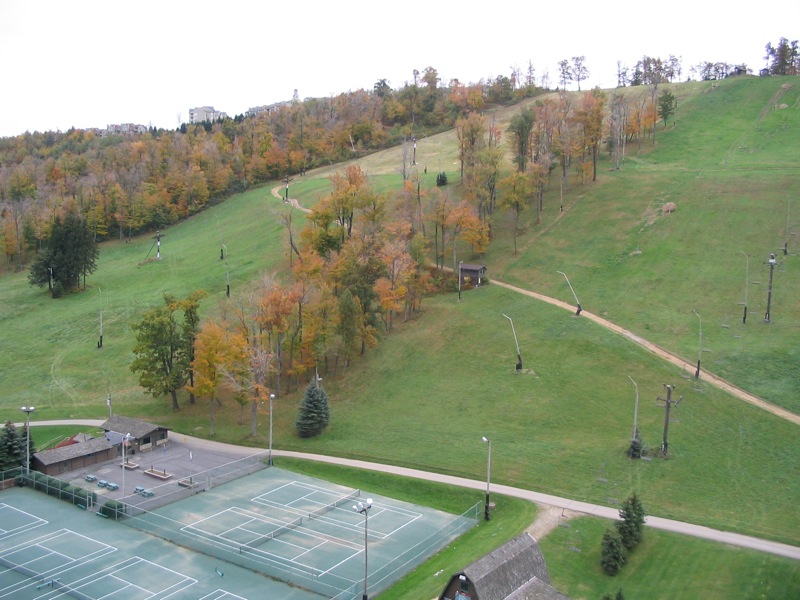
Nice view at the top of Hidden Valley
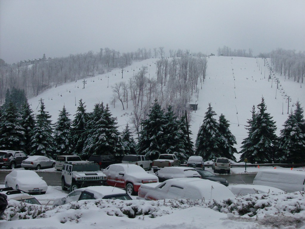
Seven Springs
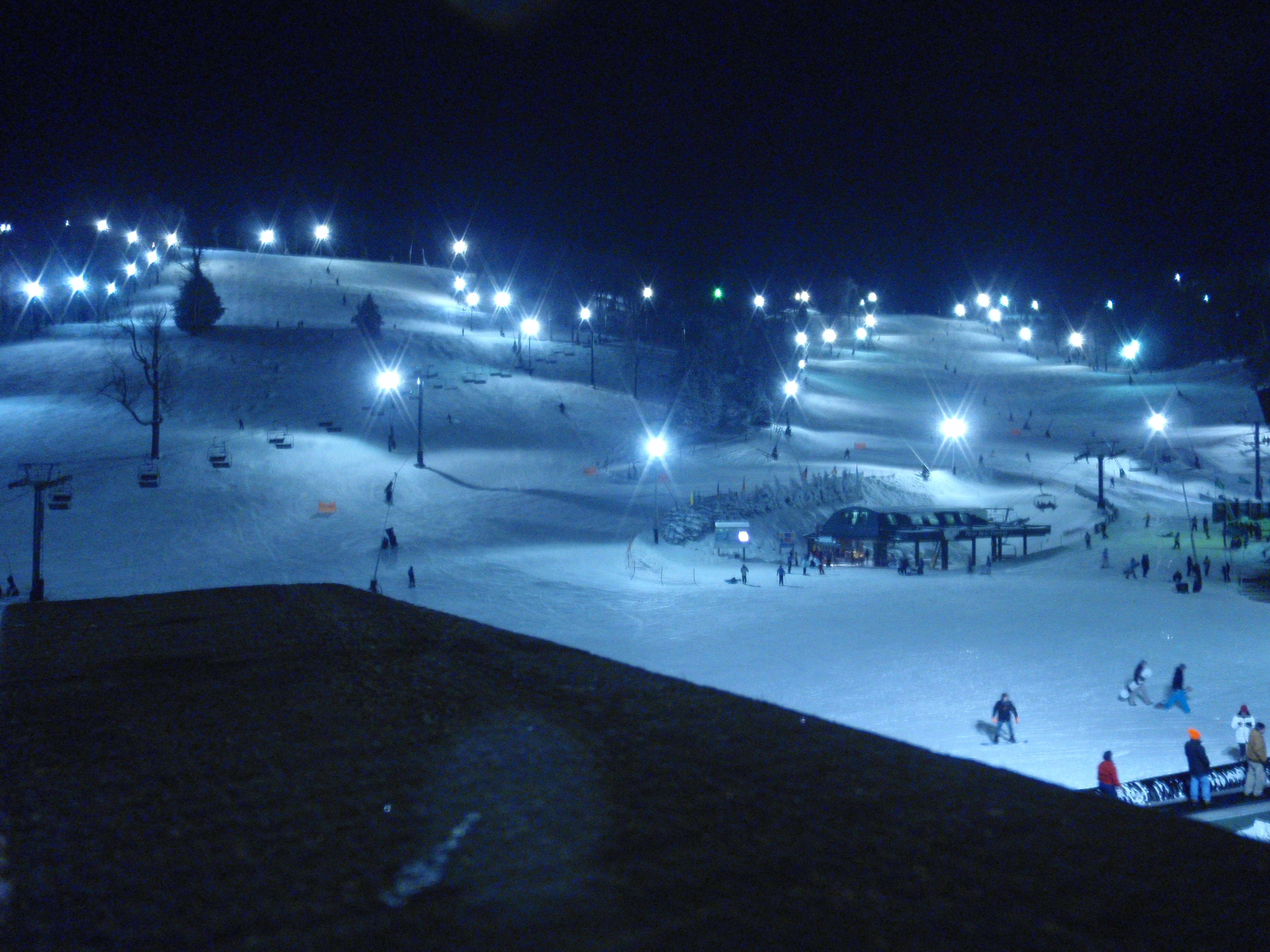
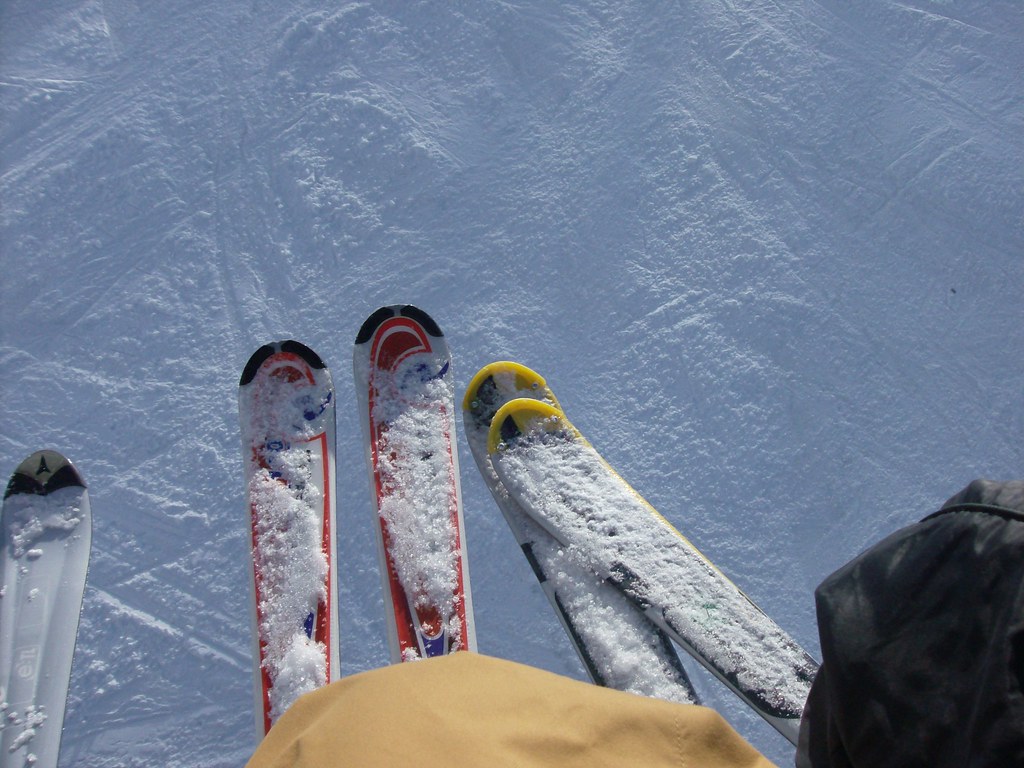
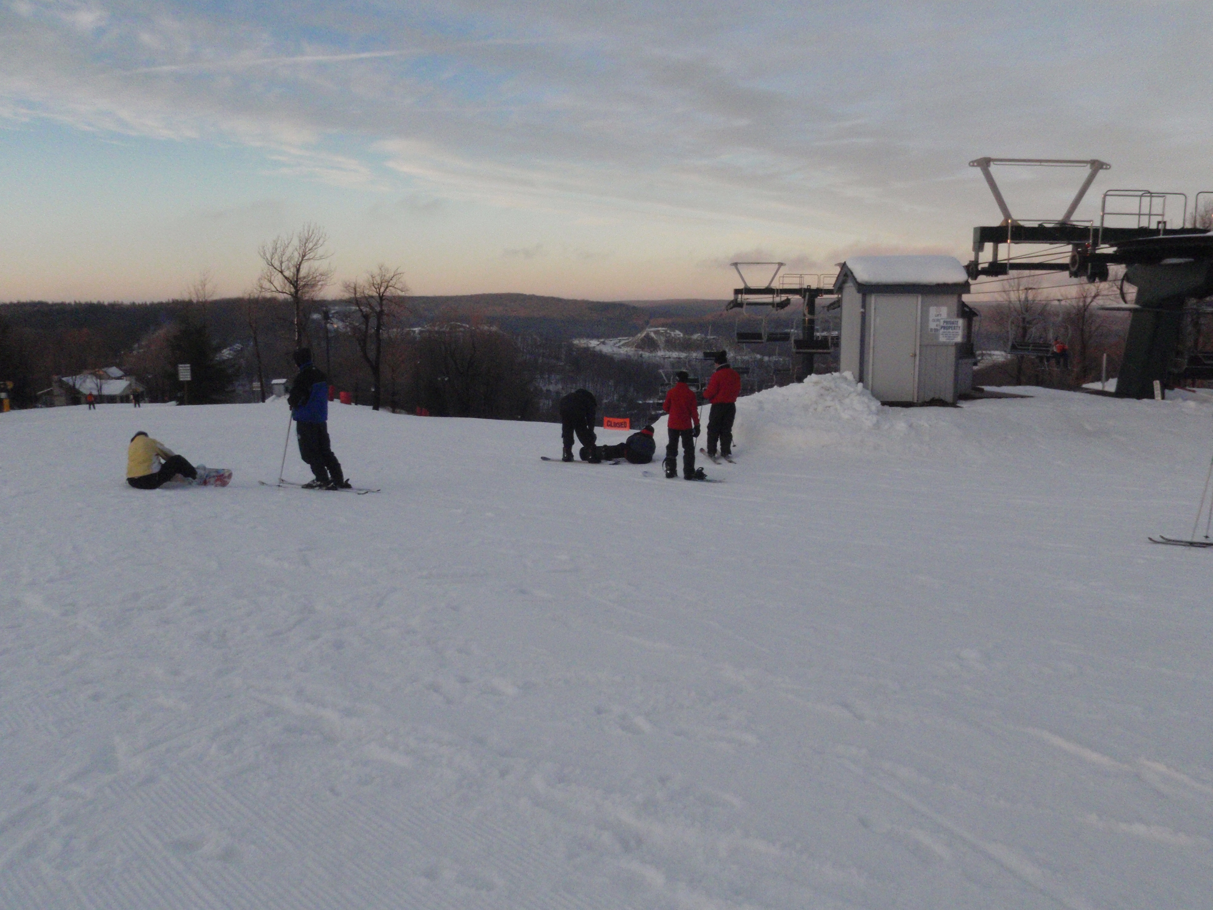
The Slopes
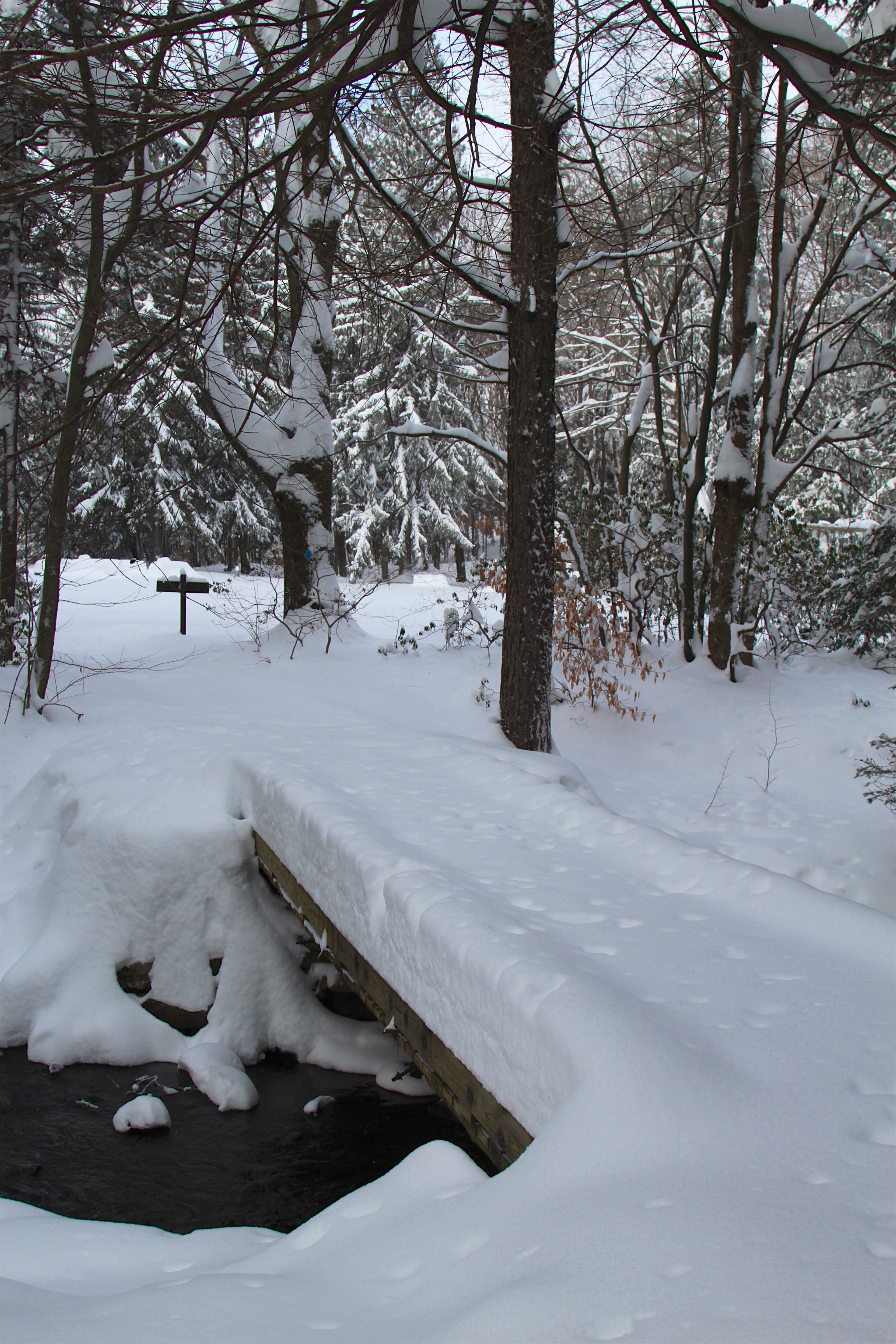
View of unmarked snow tracks on trail

Flower Longhorn, species Gaurotes cyanipennis

Flower Longhorn, species Gaurotes cyanipennis
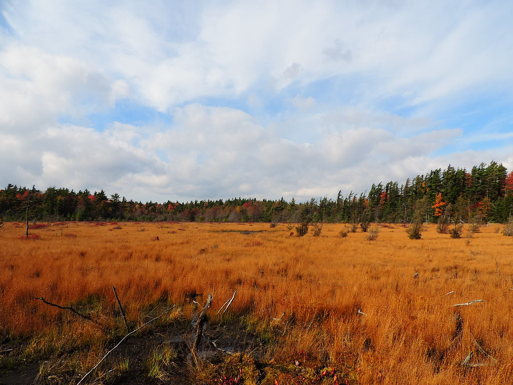
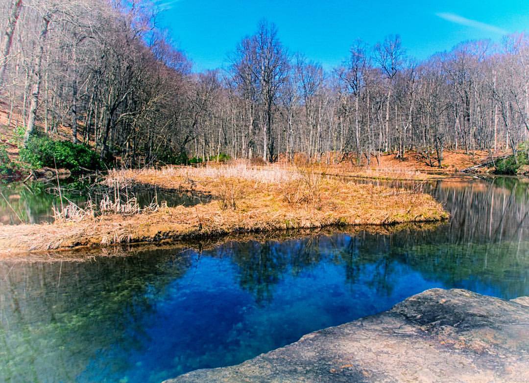
The Marshlands
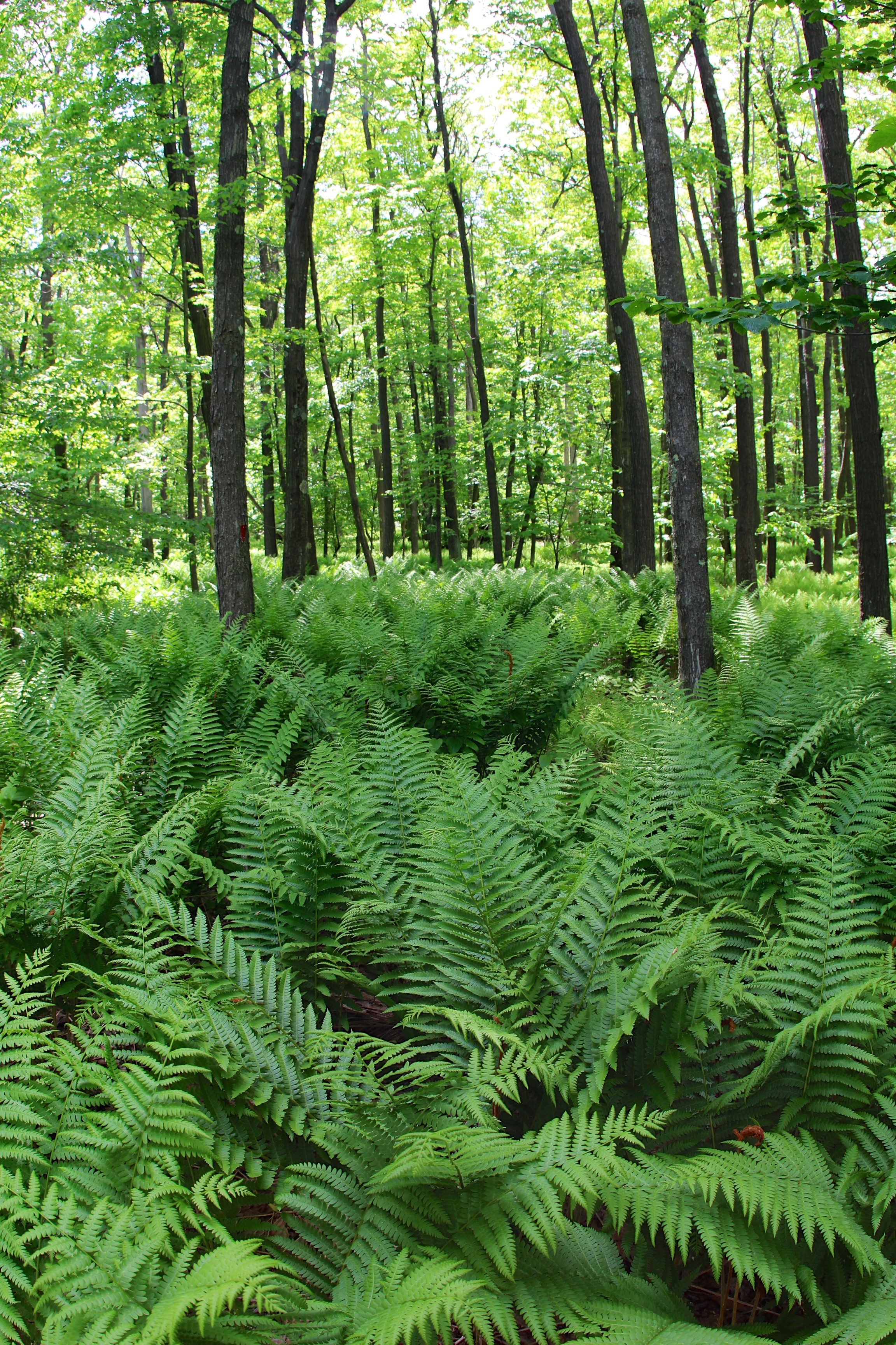
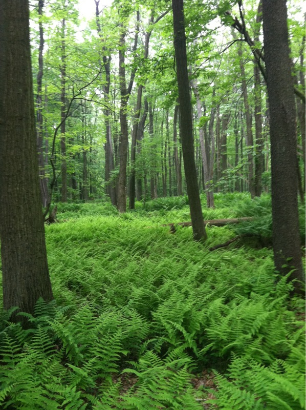
Fern frenzy
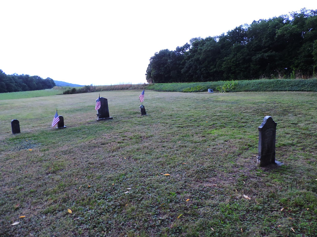
Sitting behind the foundation of the former church is this small veteran Cemetery.
Forbes State Forest

No One for Miles
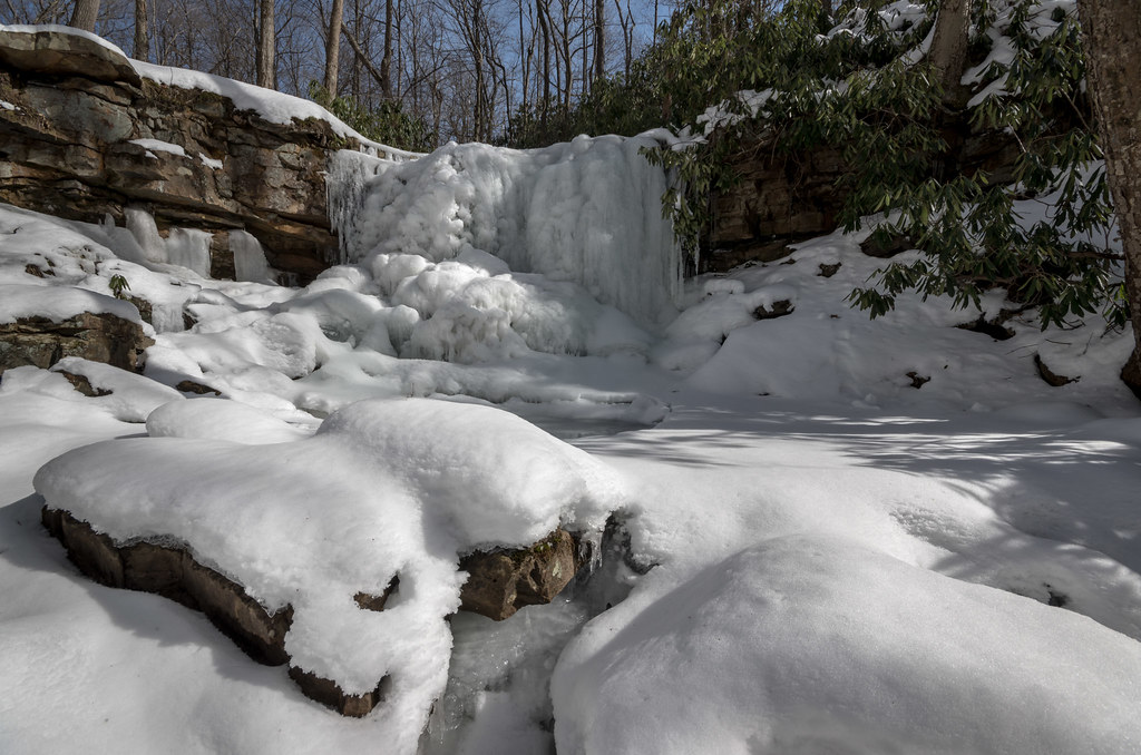
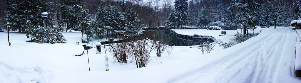
Frozen in Time
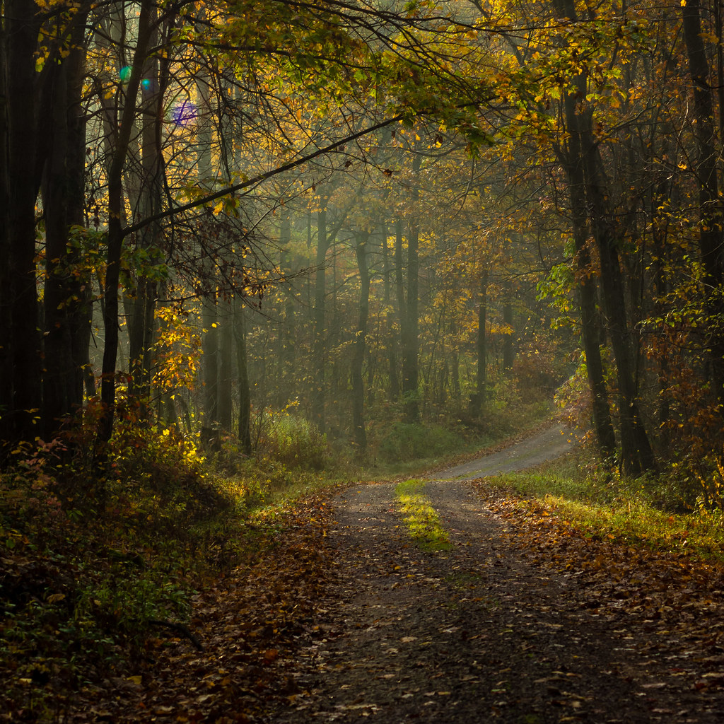
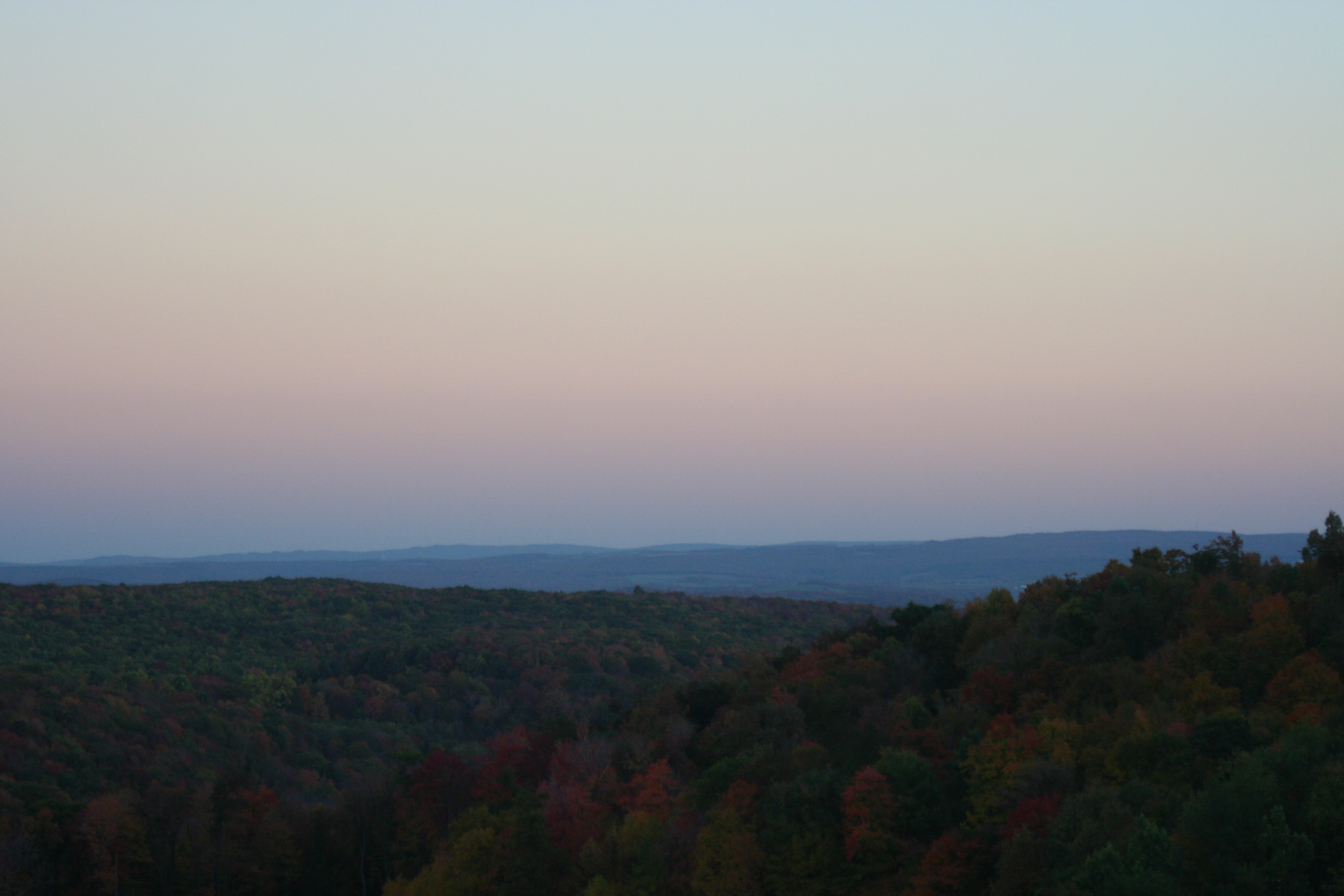
Autumn morning
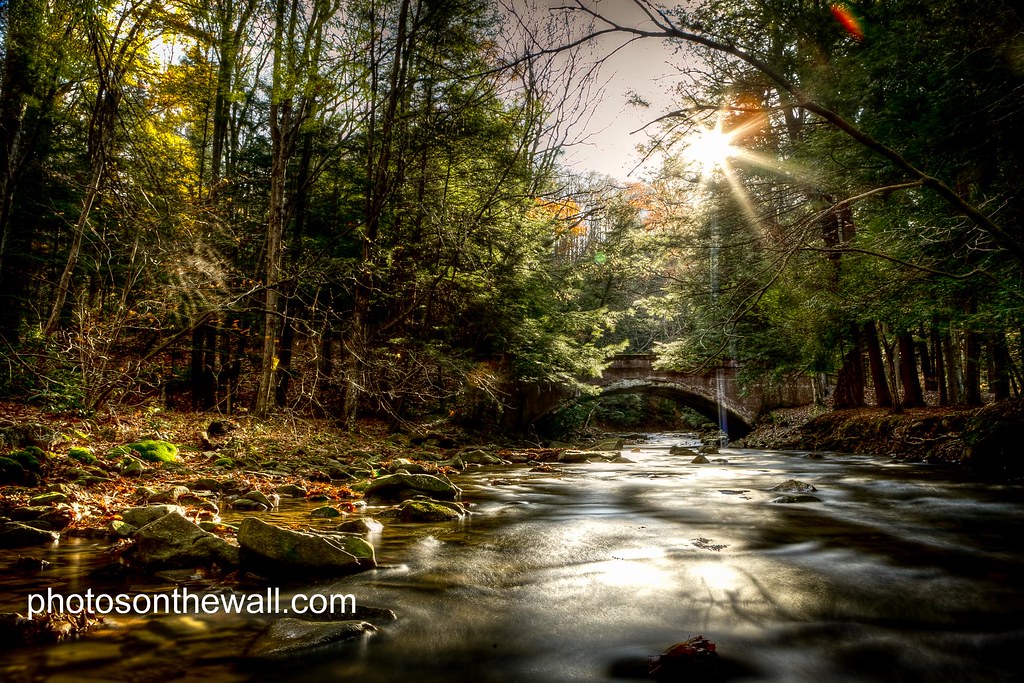
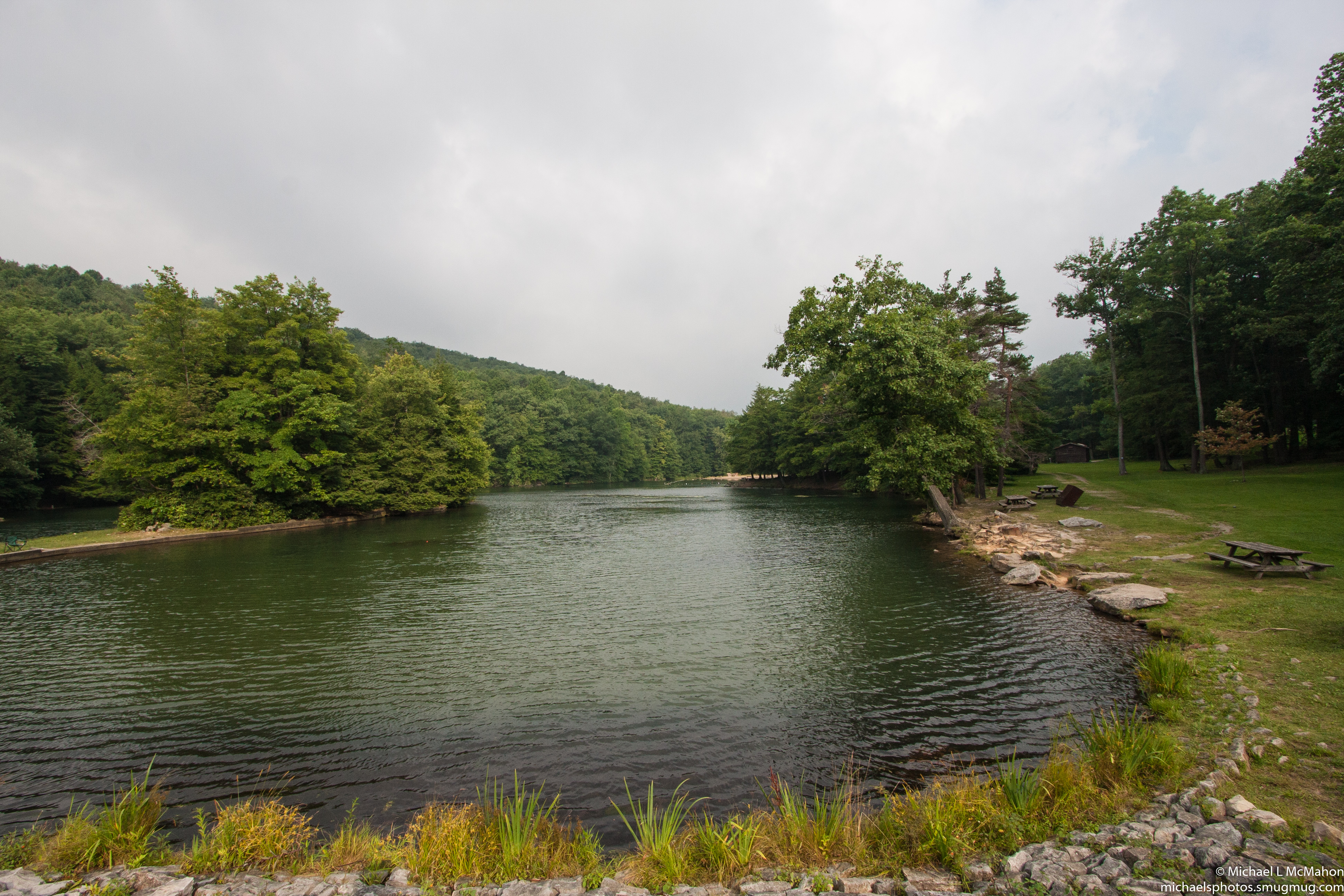
Laurel Hill State Park
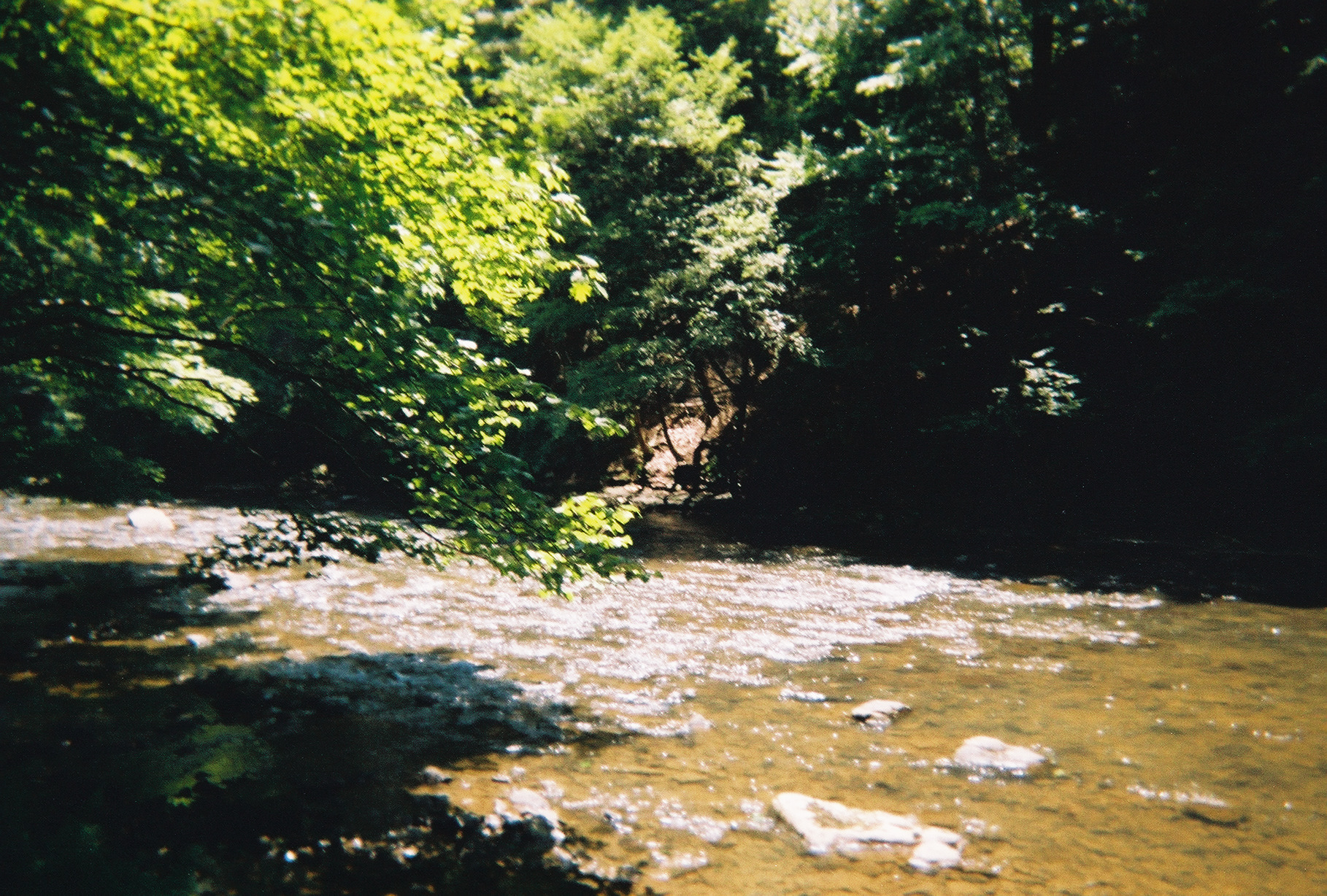
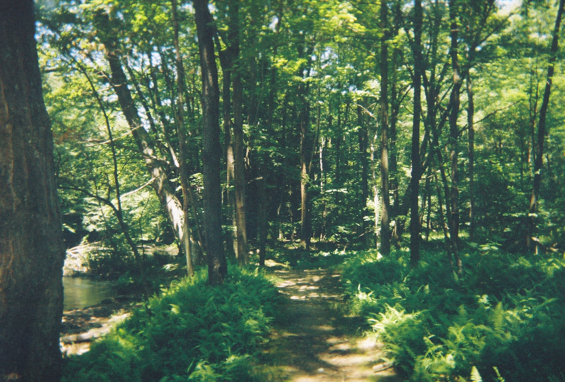
The Stream runs through it.
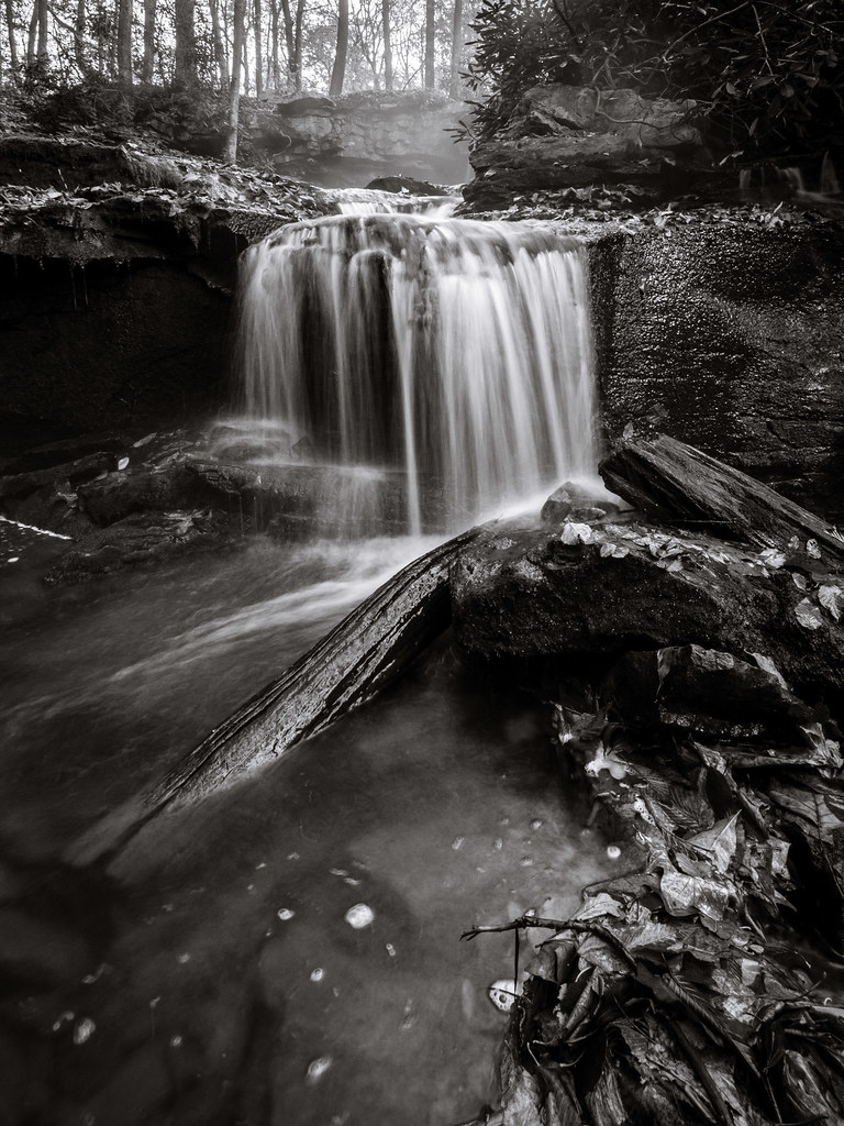
Cole Run Falls (II)

Forbes State Forest PA - 2015-03-07 (43)

Forbes State Forest PA - 2015-03-07 (26)

_V578278-Edit.jpg
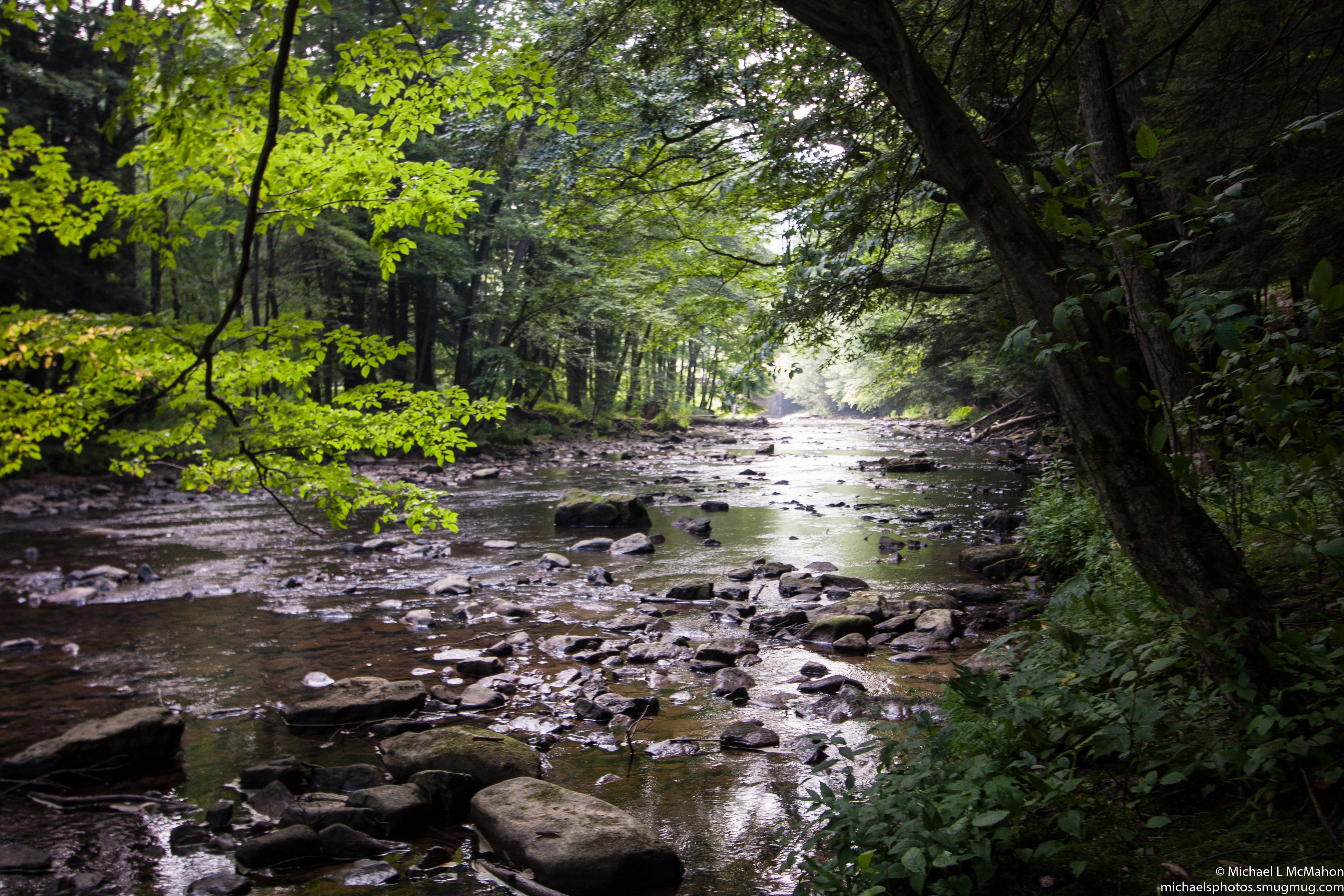
Laurel Hill State Park - Hemlock Trail
Kooser State Park

@muska9907 walking to the end of the earth #hiddenvalley #green #golf #golfcourse #flag #clouds #sky #shadow #instagood #iphonesia #photooftheday
Find this and more at jwhetzelphotography.smugmug.com. also, #laurel hill park #nature #trees #reflection, #love

Cole Run Falls (I)

Forbes State Forest PA - 2015-03-07 (15)
Laurel Hill State Park
Topographic Map of Ling Rd, Somerset, PA, USA
Find elevation by address:

Places near Ling Rd, Somerset, PA, USA:
Milford Township
3031 Copper Kettle Hwy
Somerset Township
154 Phillippi Ln
Phillippi Lane
225 Kimmel Ln
Jefferson Township
150 Hickory Hollow Rd
Rockwood
Hidden Valley, PA, USA
Bruner Run
Kingwood Rd, Rockwood, PA, USA
Black Township
1937 S Ridge Way
293 Bridle Rd
Covered Bridge Rd, Rockwood, PA, USA
Hidden Valley Resort
Middlecreek Township
Seven Springs
Sheets Road
Recent Searches:
- Elevation of Corso Fratelli Cairoli, 35, Macerata MC, Italy
- Elevation of Tallevast Rd, Sarasota, FL, USA
- Elevation of 4th St E, Sonoma, CA, USA
- Elevation of Black Hollow Rd, Pennsdale, PA, USA
- Elevation of Oakland Ave, Williamsport, PA, USA
- Elevation of Pedrógão Grande, Portugal
- Elevation of Klee Dr, Martinsburg, WV, USA
- Elevation of Via Roma, Pieranica CR, Italy
- Elevation of Tavkvetili Mountain, Georgia
- Elevation of Hartfords Bluff Cir, Mt Pleasant, SC, USA