Elevation of Linda Ln, Neosho, MO, USA
Location: United States > Missouri > Newton County > Neosho Township > Neosho >

Longitude: -94.411999

Latitude: 36.8737738

Elevation: 373m / 1224feet

Barometric Pressure: 97KPa

Elevation Map:

elevation map of Linda Ln, Neosho, MO, USA
Satellite Map:

Satellite map of Linda Ln, Neosho, MO, USA

Related Photos:

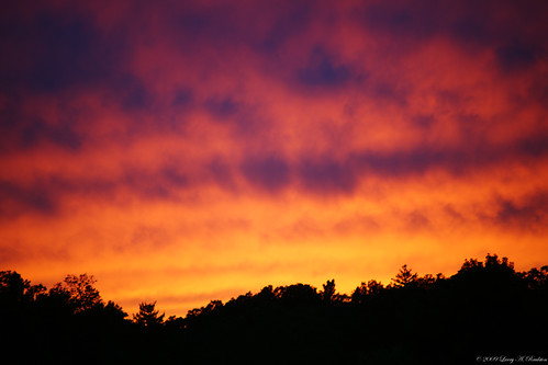
sunset
New View
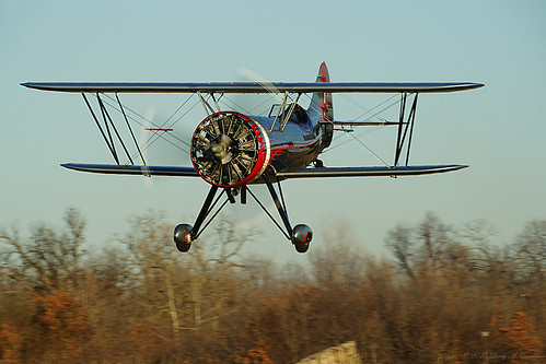
airplane dracula biplane aerobatics keos kylefranklin demon1 franklinsflyingcircus
This Evening's Entertainment
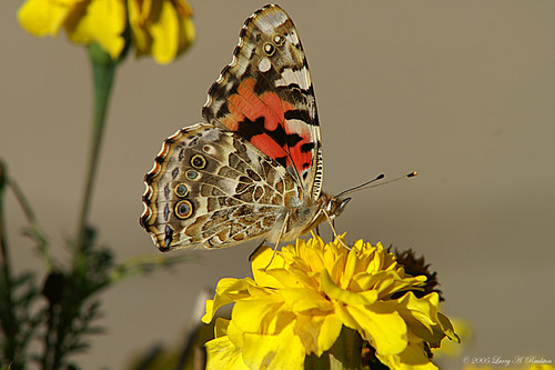
butterfly paintedlady
Painted Lady
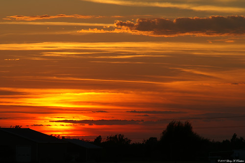
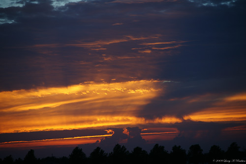
sunset
Best Time
sunset cloudshapes antisolar
Always Look Up
square squareformat iphoneography instagramapp uploaded:by=instagram foursquare:venue=4c2d2b234e132d7fe3019cdf
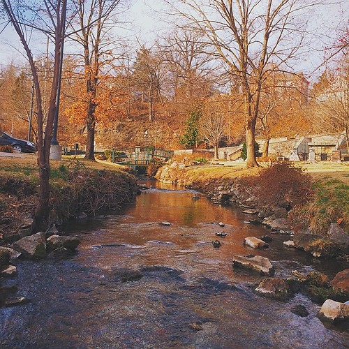
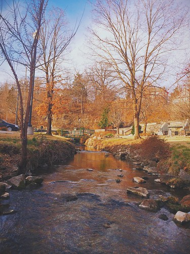
Morning view at the park
bigspringpark uploaded:by=flickrmobile flickriosapp:filter=nofilter
Morning view at the park
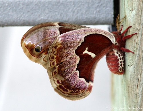
red moth hyalophoracolumbia columbiasilkmoth
Work Related Bug
sunset neosho
Another Sunset
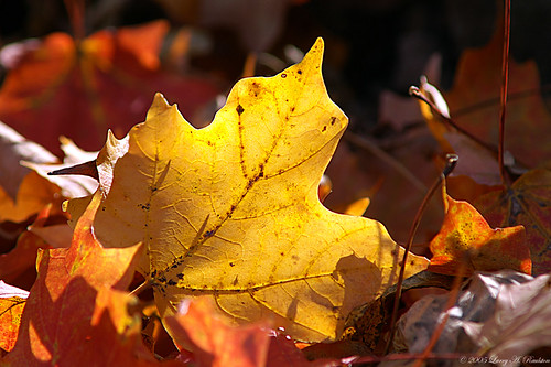
backlight maple autumncolor
Beauty In Decay
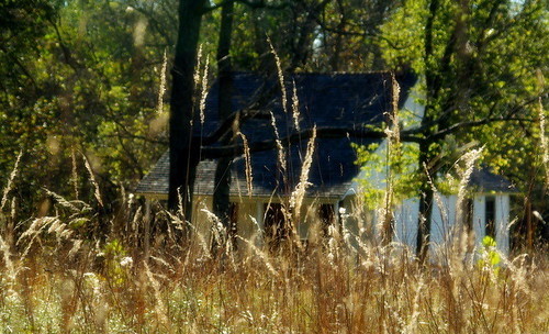
The Carver House
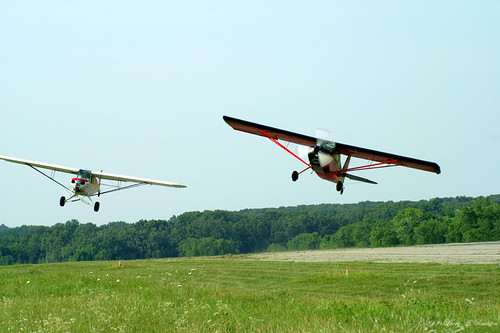
matt flight supercub kylefranklin superdecathalon younkinsons legendsairplanesformation
Slipping By
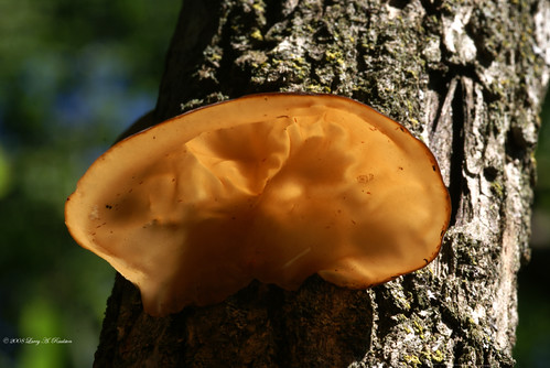
backlight shelffungus gergewahingtoncarvernationalmonument
Fungus Amungus
macro prayingmantis
Praying Mantis
101903Big Spring Park
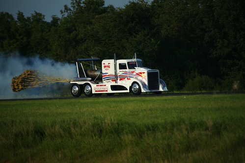
shockwave jettruck kentshockley
They're Baaack
macro green bug cropped
Hairy Green Bug
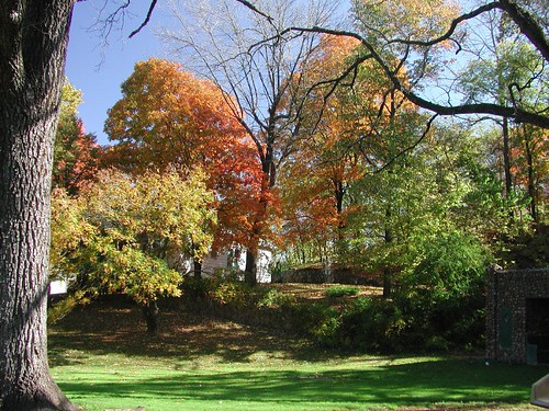
fallcolor bigspringpark neoshomo
Season's Stage
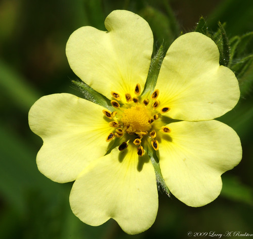
flower macro yellow georgewashingtoncarvernationalmonument
Learning Experience
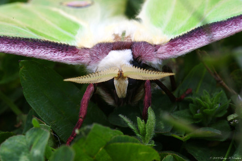
macro green lunamoth
Face to Face
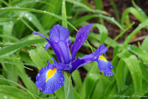
flower purple waterdropsjapaneseiris
Wet Purple Flower
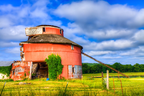
barn hdr ©allrightsreserved digitalidiot
round barn
sunset sky field clouds landscape rainbow double iphone 5s iphoneography iphoneonly mextures uploaded:by=flickrmobile flickriosapp:filter=nofilter
Double rainbow
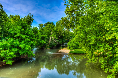
hdr ©allrightsreserved digitalidiot
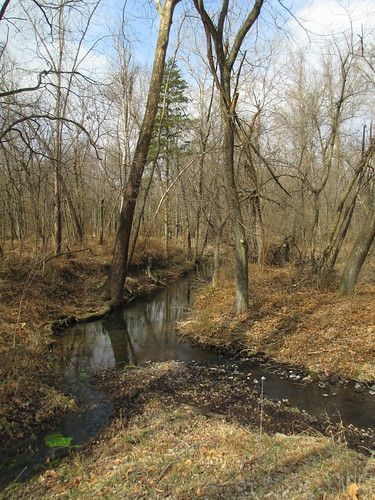
Shoal Creek
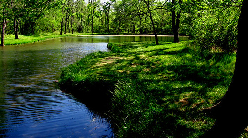
Pretty Pond
landscapes panoramic fields farms
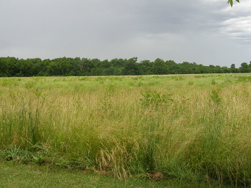
Old Scenic Way 1
missouri georgewashingtoncarvernhs
George Washington Carver NHS, MO
sunset beechcraft bonanza v35b
Headed West
square squareformat iphoneography instagramapp uploaded:by=instagram foursquare:venue=4beebc2f35dc0f47cd2c405b
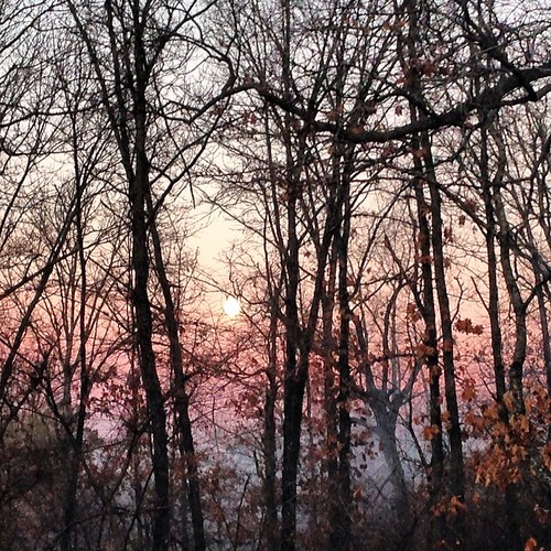
Moon setting on a frosty morning
barn ©allrightsreserved digitalidiot
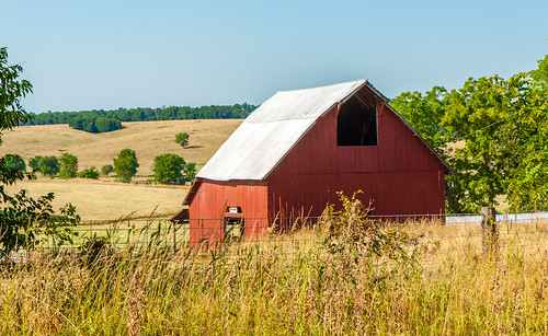
barn on the hill
Big Spring Park footbridge.
missouri mo newtoncounty georgewashingtoncarvernationalmonument nationalmonuments nationalparksystem landscapes georgewashingtoncarver northamerica unitedstates us
George Washington Carver National Monument (Newton County, Missouri)
missouri georgewashingtoncarvernhs
George Washington Carver NHS, MO
us unitedstates missouri damage tornado seneca neosho tornadodamage stormchase ef4
20080513-IMG_7459.jpg
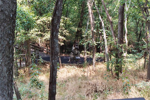
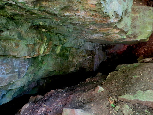
missouri neosho roaringriver bigspringpark
Cave in Big Spring Park
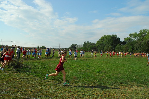
cross country running racing cc xc meet invitational nixa fuscoeastnewton2013
East Newton 2013 032
cross country running racing cc xc meet invitational nixa fuscoeastnewton2013
East Newton 2013 023
2004 minolta diamond missouri naturetrail minoltaxgm georgewashingtoncarver georgewashingtoncarvernationalmonument georgewashingtoncarvernm carvernm
Carver Nature Trail
missouri mo newtoncounty georgewashingtoncarvernationalmonument nationalmonuments nationalparksystem landscapes georgewashingtoncarver northamerica unitedstates us
George Washington Carver National Monument (Newton County, Missouri)
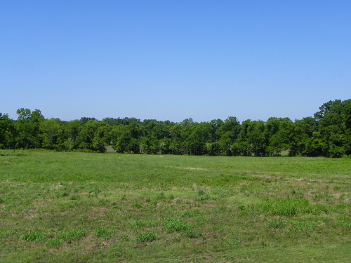
landscape outdoors nationalpark nps scenic mo missouri prairie nationalparkservice ozarks nationalmonument nationalmonuments georgewashingtoncarver georgewashingtoncarvernationalmonument georgecarver gwcarver mosescarverfarm
George Washington Carver National Monument - Diamond, Missouri
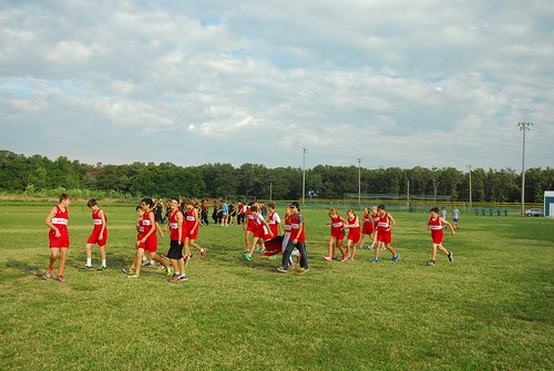
cross country running racing cc xc meet invitational nixa fuscoeastnewton2013
East Newton 2013 001