Elevation of Lincoln Way East, Mcconnellsburg, PA, USA
Location: United States > Pennsylvania > Fulton County > Mcconnellsburg >
Longitude: -77.979999
Latitude: 39.928865
Elevation: 334m / 1096feet
Barometric Pressure: 97KPa
Elevation Map:
Satellite Map:
Related Photos:
Watch Your Step

Cows in the Field
Sideling Hill
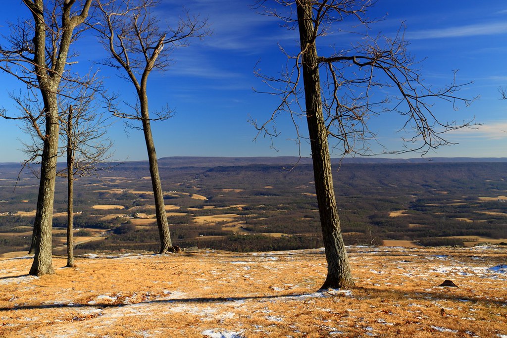
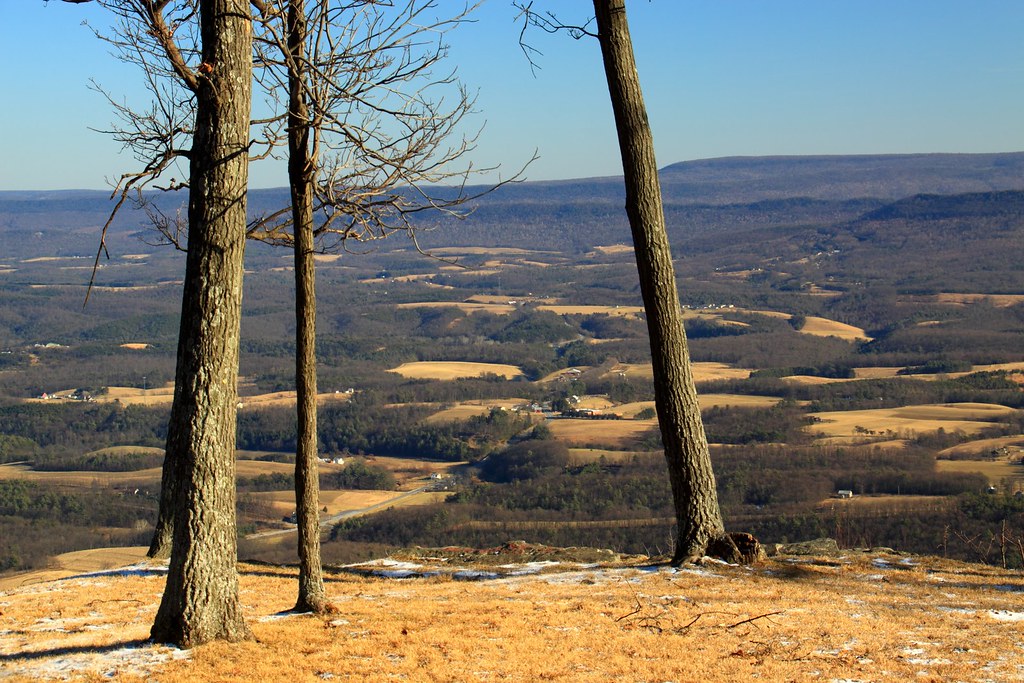
valley view
Fort Loudon Farmstead
Before the Hike

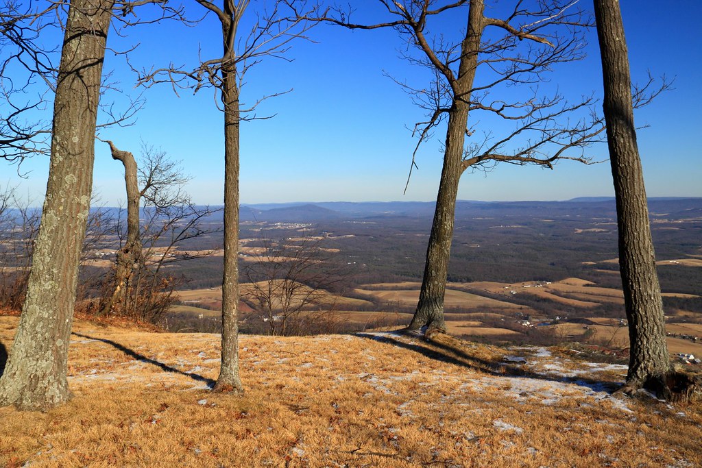
the overlook

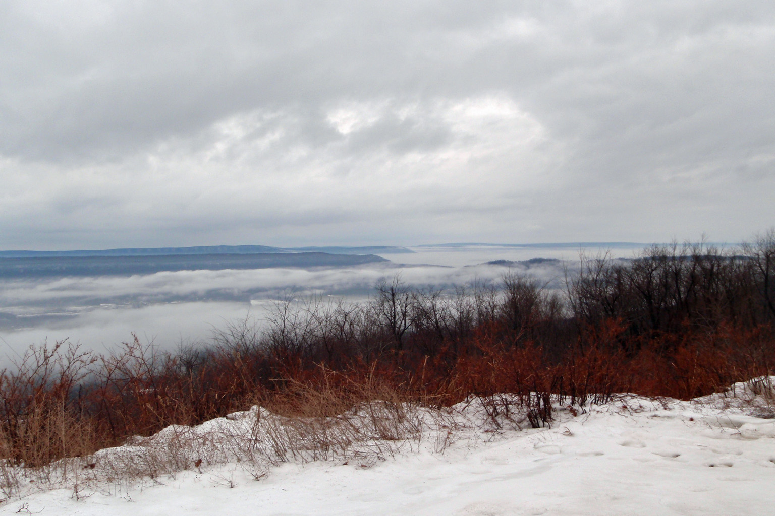
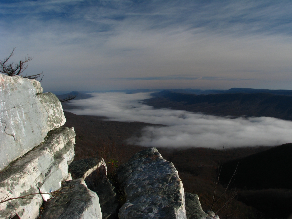
Overlooking a foggy valley from Sideling Hill
Big Mountain Overlook

Overlooking a foggy valley from Sideling Hill
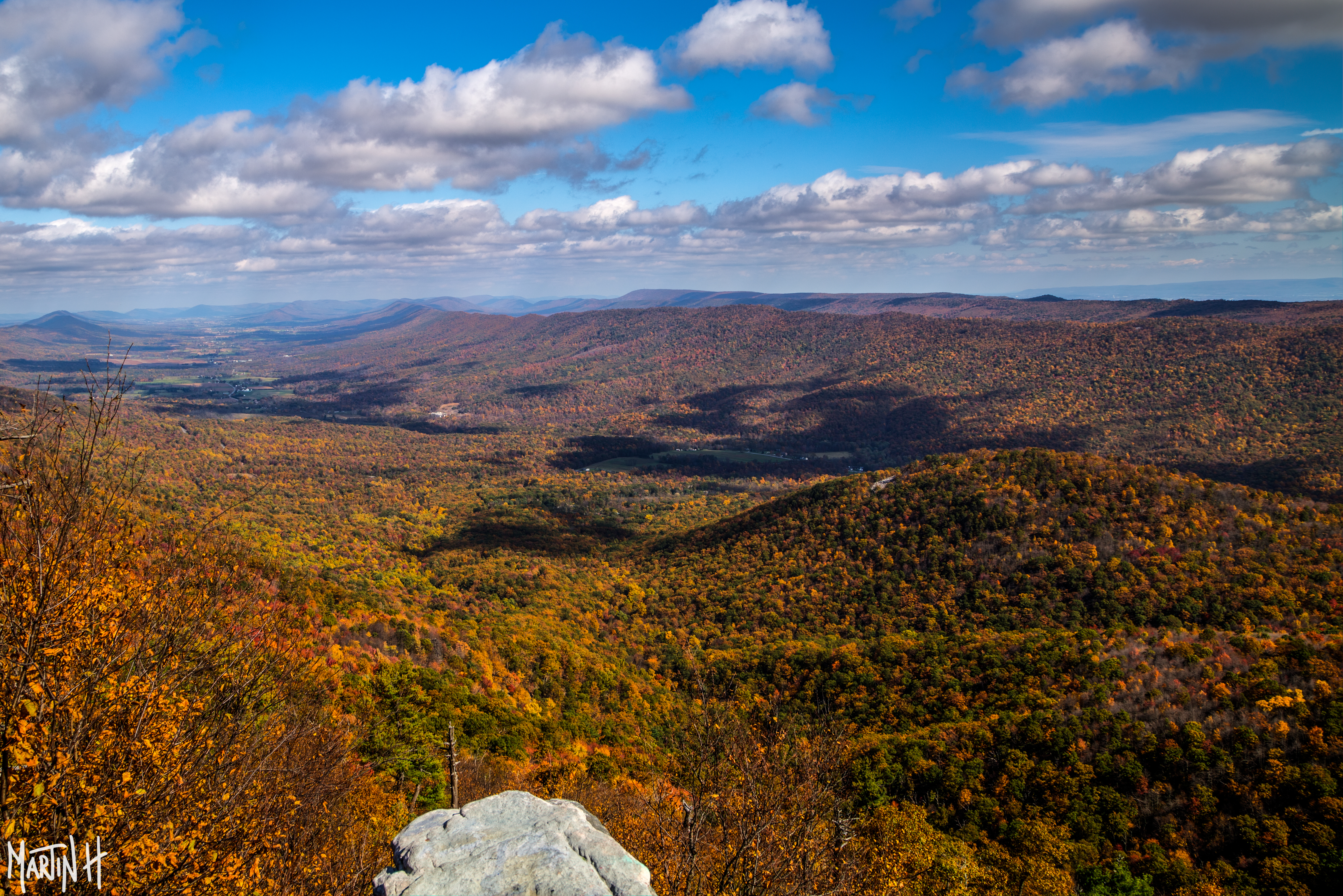
Fall Colors 2 -9J7A9021
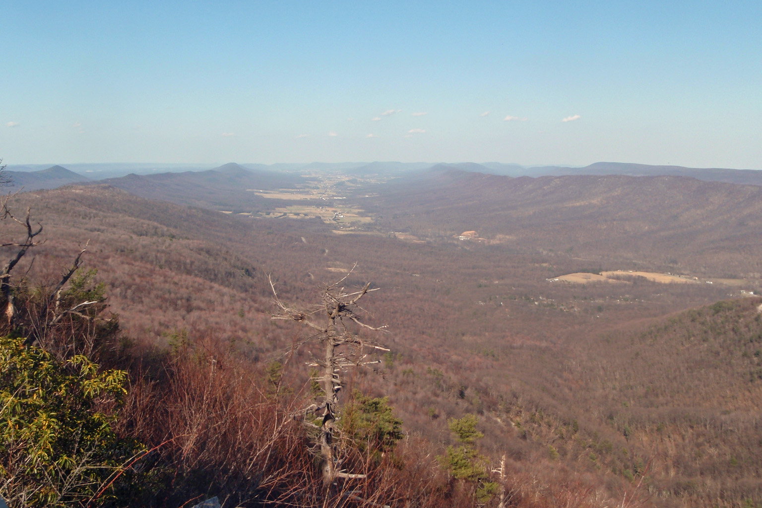
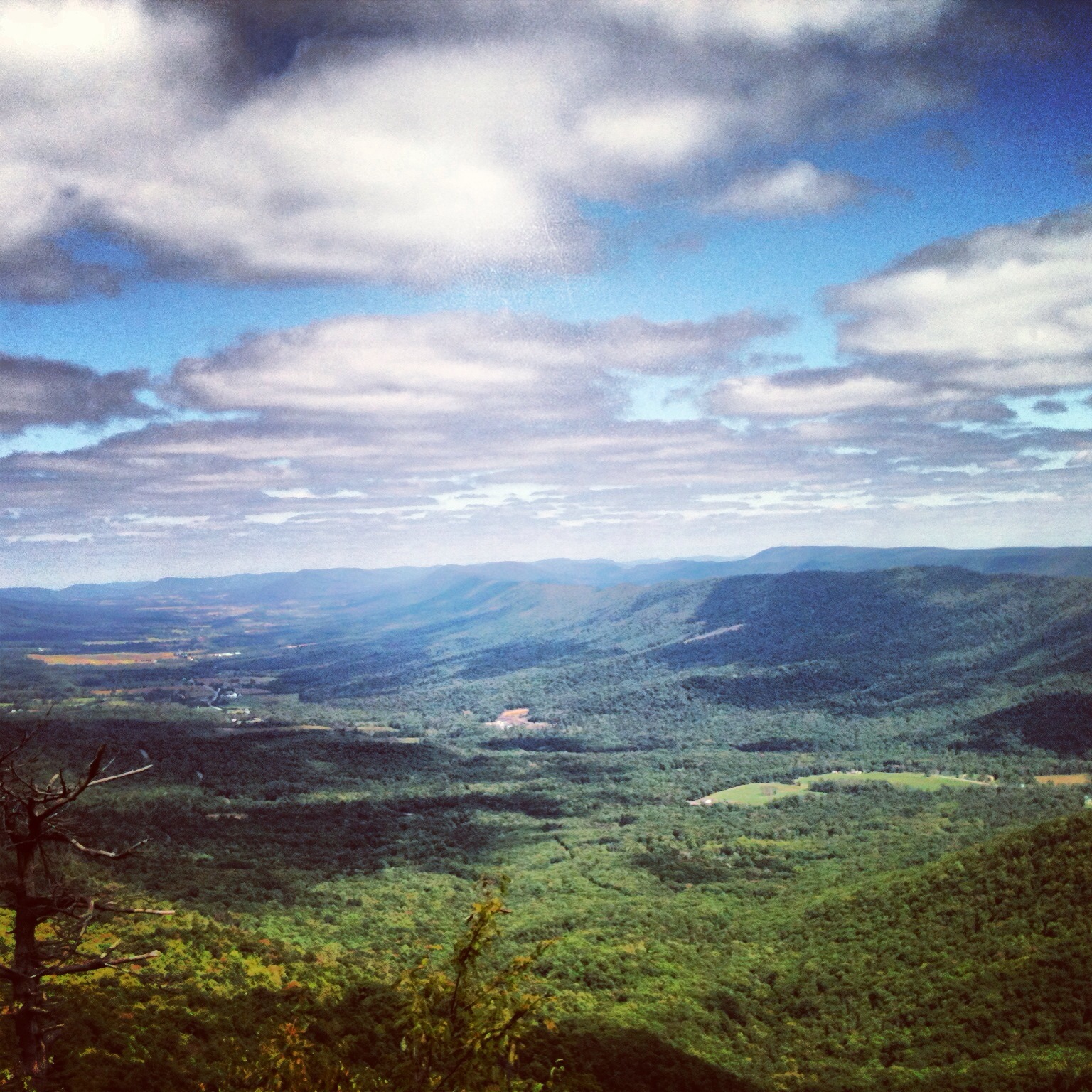
View from Sideling Hill Lookout
View from Sideling Hill Lookout
View from Sideling Hill Lookout
A Morning View

Old Faded Glory
View of the Valley
Tower Road Vista

Stars over Cowans Gap
View from Sideling Hill Lookout

a nice view

St Thomas barn with stormy sky

Sunset on 30
Middle pa

The Barn on Gillan Road
Parnell Knob

Lone Tree

Chambersburg and Bedford Turnpike Road Company Toll House

The Chapel at Mercersburg Academy

Cocktails at the Mercersburg Inn

Mercer Vu Farms in Franklin County, Pa.
St Thomas Barn under Dark Skies B&W
Path Valley in Winter Panorama
Icy lake, Cowans Gap

Path - Trees
Topographic Map of Lincoln Way East, Mcconnellsburg, PA, USA
Find elevation by address:

Places near Lincoln Way East, Mcconnellsburg, PA, USA:
Mcconnellsburg
416 Jugtown Rd
618 Jugtown Rd
Fulton County Medical Center
Todd Township
Peach Orchard Road
Fort Loudon
3466 Breezy Point Rd
Fort Littleton
St Thomas, PA, USA
1372 Summerswood Dr
St. Thomas Township
Metal Township
Edenville
Eden Drive
Saint Thomas
2490 St Thomas-edenville Rd
Fannettsburg
State Rte, Fannettsburg, PA, USA
5862 Lincoln Way W
Recent Searches:
- Elevation of Corso Fratelli Cairoli, 35, Macerata MC, Italy
- Elevation of Tallevast Rd, Sarasota, FL, USA
- Elevation of 4th St E, Sonoma, CA, USA
- Elevation of Black Hollow Rd, Pennsdale, PA, USA
- Elevation of Oakland Ave, Williamsport, PA, USA
- Elevation of Pedrógão Grande, Portugal
- Elevation of Klee Dr, Martinsburg, WV, USA
- Elevation of Via Roma, Pieranica CR, Italy
- Elevation of Tavkvetili Mountain, Georgia
- Elevation of Hartfords Bluff Cir, Mt Pleasant, SC, USA