Elevation of Lightner Road, Lightner Rd, Gainesville, VA, USA

Location: United States > Virginia > Prince William County > Gainesville > Haymarket >

Longitude: -77.620354

Latitude: 38.8452982

Elevation: 113m / 371feet

Barometric Pressure: 100KPa

Elevation Map:

elevation map of Lightner Road, Lightner Rd, Gainesville, VA, USA

Satellite Map:

Satellite map of Lightner Road, Lightner Rd, Gainesville, VA, USA

Related Photos:

lakebrittle fauquier newbaltimore explore wonderfulwaterspec2020
Lake Brittle
trees shadow sky usa building history monument silhouette architecture night america landscape us nationalpark nikon december unitedstates horizon paisaje astrophotography planet northamerica historical lighttrails saturn 20mm jupiter nikkor paysage landschaft bullrun paesaggio 1848 stonehouse 2020 americancivilwar conjunction splitrailfence z7 manassasnationalbattlefieldpark captureone mirrorless firstmanassas secondmanassas secondbullrun photopills starwalk2 explore
Jupiter and Saturn Conjunction 2020
blackwellroad warrenton wachtmeister fauquier airlie explore farmsandfoodpec2018
Wachtmeister Farm
beverleymill chapmansmill virginia mill gristmill princewilliamcounty thoroughfaregap broadrun
Beverley Mill c 1970 002
beverleymill mill gristmill virginia mills chapmansmill princewilliamcounty thoroughfaregap broadrun
Beverley Mill c1978 01
virginia manassas bullrun civilwarbattlefield nationalparkservice canon civilwarcanon splitrailfence visitorcenter henryhousehill manassasnationalbattlefieldpark va unitedstates cannon civilwarcannon
View from the Visitor Center
from trees moon tree night clouds evening backyard cloudy full neighborhood viewed
Full Moon on cloudy night viewed from backyard
beverleymill chapmansmill virginia gristmill mill
Beverley Mill 1974
highacre halfway theplains halfwayva fauquier conservationeasement landscapespec2018
Autumn Piedmont
usa abandoned virginia september va 2014 loudouncounty lenah rt50 silowithtree
Silos with a tree growing out of one
bullrunmountain theplains fauquiercounty 2ndbattleofmanassas thoroughfaregap motherleathercoatmountain highpointrocks landscapespec2011
High Point Rocks - Bull Run Mountain
Wegman’s
park sunset sculpture monument nature yellow statue virginia nikon thomas guard jackson manassas stonewall battlefield d40 anawesomeshot manassassunset tarunparmar
Stonewall Jackson watching sunset
house brick history monument architecture fence virginia civilwar manassas battlefield bullrun splitrail 1861 henryhouse
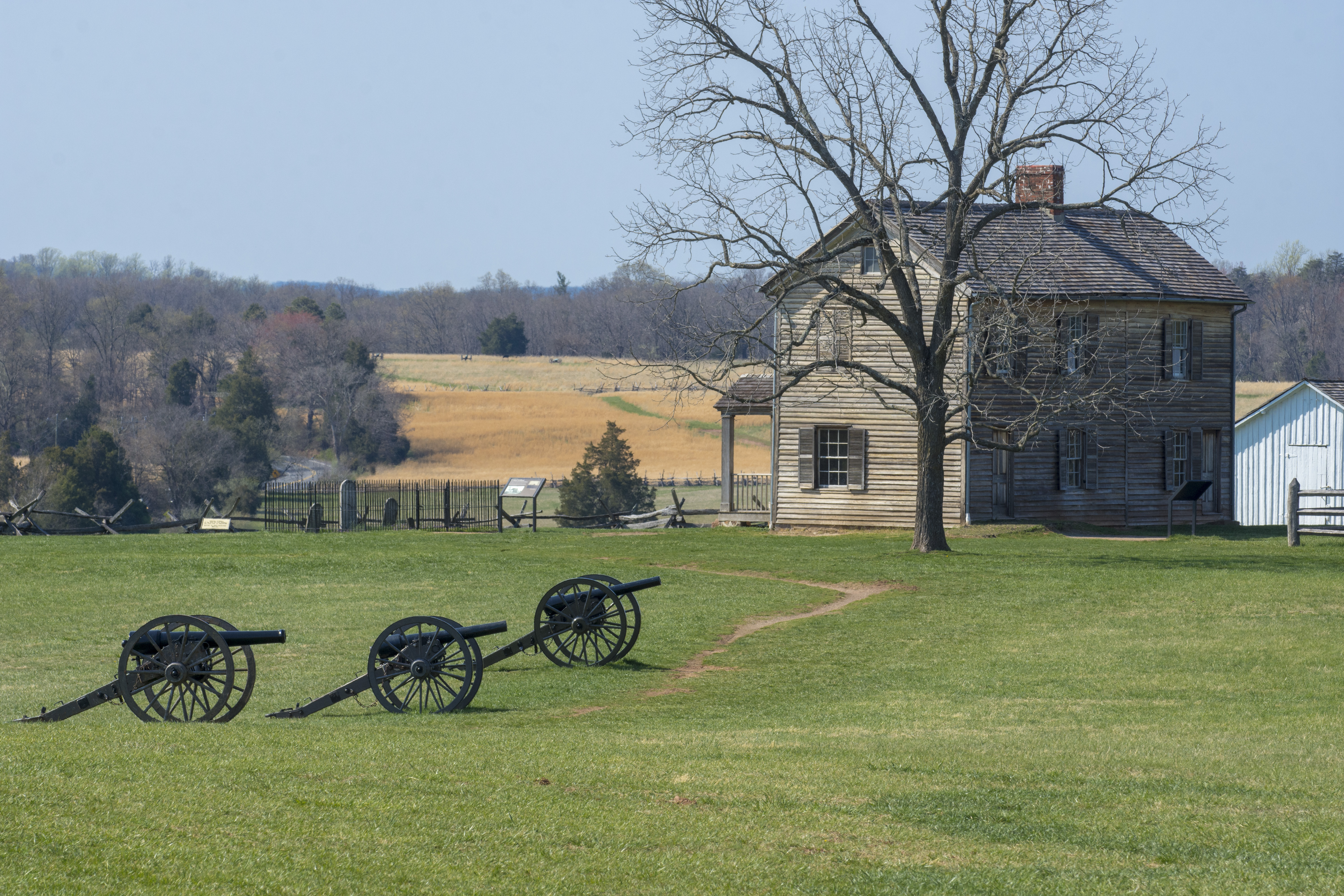
The Henry House and Bull Run Monument
usa virginia nasa va manassas johnlangford billingalls lorigarver auroraflightsciencescorporation jaiwonshin johntylko michaelgazarik
Deputy Administrator Visits Aurora Flight Sciences (201201270005HQ)
usa virginia nasa va manassas billingalls tomwashington lorigarver auroraflightsciencescorporation centauroptionallypilotedaircraftopa
Deputy Administrator Visits Aurora Flight Sciences (201201270002HQ)
usa virginia nasa va manassas johnlangford billingalls lorigarver auroraflightsciencescorporation centauroptionallypilotedaircraftopa jaiwonshin johntylko michaelgazarik
Deputy Administrator Visits Aurora Flight Sciences (201201270004HQ)
red sky house brick monument grass virginia civilwar manassas battlefield bullrun princewilliam 150th
The Bull Run Monument
civilwarmonument nationalregisterofhistoricplaces manassasnationalbattlefieldpark manassasvirginia henryhill civilwarbattlefield sonsofconfederateveterans civilwarmonuments stonewalljacksonmonument littlesorrel stonewalljacksonstatue henryhillvisitorcenter grovetonvirginia 6571sudleyroadmanassas confederatearmyoftheshenandoah unionbrigadiergeneralirvinmcdowell sculptorjosephppolliaofnewyorkcity 31july1861 bullrunrecreationaldemonstrationarea 6511sudleyroadmanassasva20109 manassasbattlefieldhistoricdistrict unitedstatesnationalbattlefieldpark southeasternconstructioncompanycharlottenorthcarolina
Stonewall Jackson at First Manassas
usa virginia nasa va manassas johnlangford billingalls lorigarver auroraflightsciencescorporation jaiwonshin johntylko michaelgazarik
Deputy Administrator Visits Aurora Flight Sciences (201201270003HQ)
outdoors light pov contrast saturated sunset tree nature spring 2019 canopy happy beautiful myview enchanted vision fairytale mystical
Sun under canopy
fauquiercounty virginia aldie middleburg theplains unitedstates landscape landmark civilwar battleofbullrun
Clouds in the valley, near Bull Run Mountains
mill virginia unitedstates 1700s gristmill princewilliamcounty broadrun fauquiercounty chapmanmill thoroughfaregap civilwar beverleymill
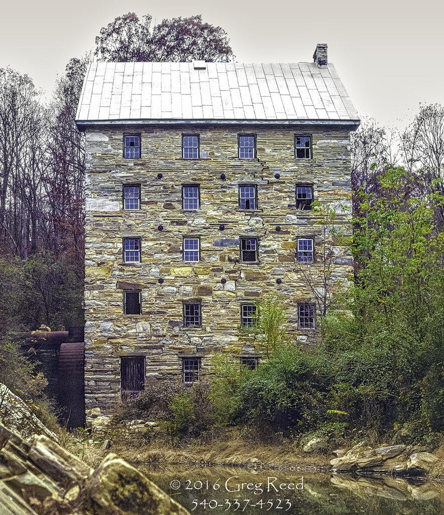
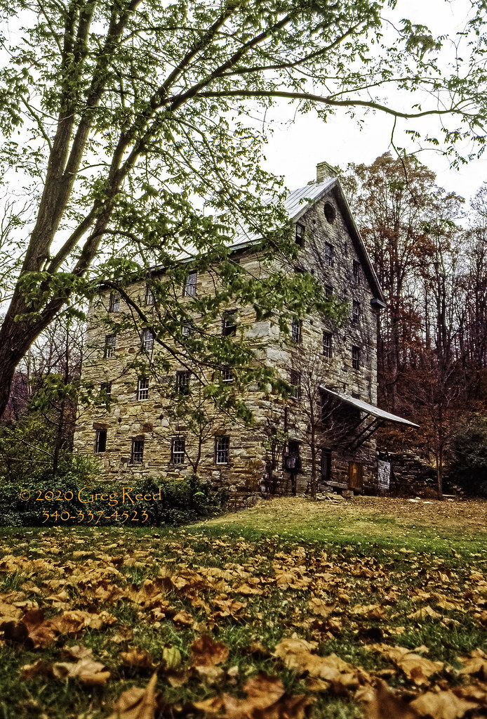
Beverley Mill (ruins), circa 1759
manassas manassasnationalbattlefieldpark virginia sunset henryhouse grass va trees hill landscape nikon
Sunset at Manassas National Battlefield Park - Virginia
road sunset usa mountain storm clouds landscape virginia nikon pastoral loudouncounty tomlussier landscapespec2012 naturelandscapes2012
Country Road Dreamin' ~ Explore ~
usa tree clouds landscape virginia nikon fisheye loudouncounty club16 tomlussier farmsandfoodpec2012 naturelandscapes2012
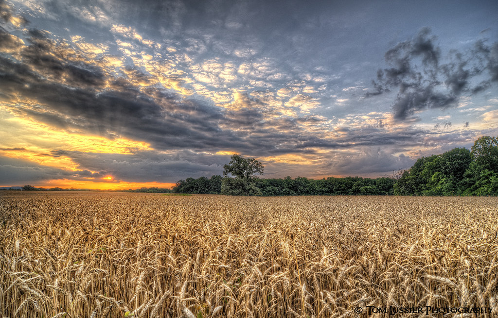
Amber Waves Afternoon ~ Explore ~
virginia cannon landscape manassasnationalbattlefield sunset
Sunset Manassas National Battlefield
virginia background civilwar landscape manassasnationalbattlefield sky snow stonehouse winter
Stone House
park blue trees sunlight green nature field grass bluebells forest landscape virginia spring woods run bull va wildflowers vignette bullrunpark chrysti platinumphoto bullrunstatepark articulateimages platinumsuperstar
:: for me ::
sunset usa tree clouds landscape virginia nikon cloudscapes loudouncounty tomlussier farmsandfoodpec2012
Amber Waves Sunset
instagramapp square squareformat iphoneography uploaded:by=instagram
“Get outside. Watch the sunrise. Watch the sunset. How does that make you feel? Does it make you feel big or tiny? Because there's something good about feeling both.” -Amy Grant @manassasnps #manassasnationalbattlefieldpark #exploreva #sunrise #findyourpa
sunset usa tree clouds landscape virginia nikon fisheye pastoral loudouncounty tomlussier farmsandfoodpec2013
Sea of Grain Sunset
longexposure virginia stream dam littleriver loudoncounty aldiedam
Aldie Dam Spring 2
old usa house history home canon war open hill union peaceful battle calm confederate civilwar manassas getty historical plain manassasvirginia 2013 firstbattleofmanassas secondbattleofmanassas battleofmanassas roadtriphouse
The Henry House - Manassas Battlefield
usa mountain storm flower clouds landscape virginia nikon cloudscapes loudouncounty tomlussier landscapespec2012
Road of Plenty (Thistle Road)
trees wallpaper tree landscape geotagged ir arbol træ boom civilwar árbol infrared 木 风景 albero tre puu arbre árvore strom baum träd 树 infravermelho 壁纸 ツリー 樹 r72 copac infrarot 红外 дерево drzewo 나무 شجرة stablo infrarrojos 赤外線 红外线 infrapuna infrarood infrarouge дърво batteryheights geo:tool=gmif infrarossi secondbattleofmanassas geo:lat=38812426 geo:lon=77555494 δέντρο 紅外線 инфракрасный inframerah אינפראאדום 紅外 पेड़ वृक्ष zexplored पेड infravörös 樹樹 infračervené 적외선 υπερύθρων अवरक्त 적외선의 柅 柂
Tree at Battery Heights
statepark park morning trees mist green field grass weather fog clouds virginia foggy wideangle tokina1224 manassas battlefield stateparks d300 manassasbattlefield blueribbonwinner wideanglephotography mywinners abigfave
Misty Field.
america virginia background battlefield civilwar clouds landscape manassasnationalbattlefield military scenic sky stonewalljackson
Stonewall Jackson in a Snow Storm
house virginia manassas onone
House on a Hill
clouds autumn virginia centreville
above the trees: clouds
autumn blue manassasnationalbattlefieldpark landscape tree nature virginia easternredcedar green unitedstates hill color field bluesky clouds fall juniperusvirginiana manassas us
Eastern Redcedar on Henry Hill of Manassas National Battlefield Park