Elevation map of Liberia

Longitude: -9.429499

Latitude: 6.428055

Elevation: 239m / 784feet

Barometric Pressure: 98KPa

Elevation Map:

elevation map of Liberia

Satellite Map:

Satellite map of Liberia

Related Photos:

ocean show longexposure travel pink blue red sea vacation urban panorama mountain reflection green tourism apple water beautiful yellow skyline architecture night photoshop buildings macintosh fun concrete happy hongkong lights 1 boat photo yahoo google mac nikon colorful asia flickr nightshot pacific pics vibrant steel horizon philippines magenta surreal tourist best guinness celebration laser filipino kowloon flickrblog hdr victoriaharbor tomasito symphonyoflights d90 photomatix tallestbuildings cs5 nikond90 bestshowonearth jtnoriega bestskyline mygearandme mygearandmepremium worldsmostbeautifulskyline bestvacationplace greendarkdarkness
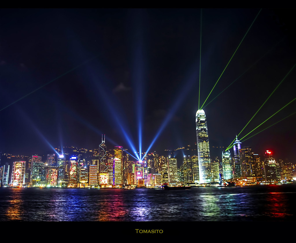
A Symphony of Lights: The World’s Most Beautiful Skyline Part II.
ocean sunset sea wallpaper sky panorama orange mountain love beach club magazine gold golden bay lyrics background grill quotes backdrop romantic camiguin fireengine stillwater goldensunset meaning goldenhour beachclub beautifulsunset sunsetonthebeach romanticscene camiguinisland goldsunset perfectsunset celestialclouds cloudceiling rommelbangit
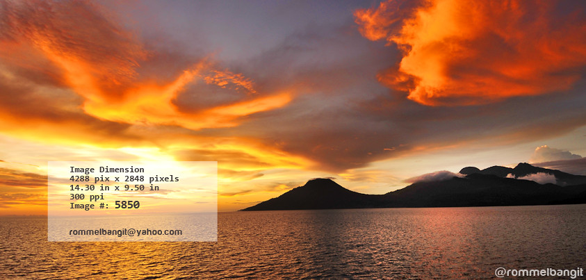
Majestic Golden Sunset over Bohol Sea Between Talisayan Cagayan De Oro and Camiguin Island 730 km South East of Manila, Philippines | Photograph by © ROMMEL BANGIT | All rights reserved
pink orange flower macro nature yellow butterfly geotagged action flight monarch pakistani liberia picnik explored abigfave damniwishidtakenthat sonyalphadslra200 umar36
My Secret Garden
ocean africa old trip travel light panorama news colour art texture industry film scale digital photoshop work canon vintage dark out square greek boat big rust marine industrial mood ship mt tank view geometry steel interior space empty pano great engineering vessel cargo powershot retro atlantic maritime oil inside senegal dakar petrol hull naval utm 2008 effect sunbeam merge tanker compact crude lightroom panamax a710is vsco
IMG_5092-IMG_5093
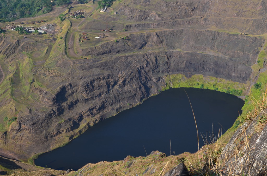
Top view of Iron Hill (The mount Nimba), the highest peak and the greatest Iron mine of Liberia
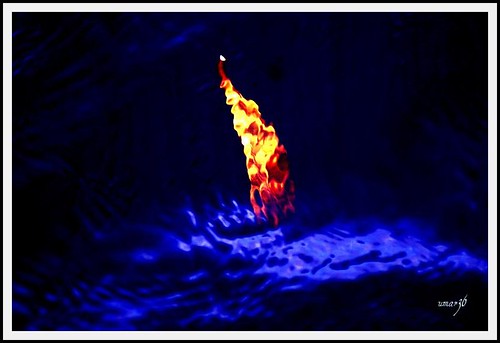
ocean africa travel blue red sea storm black reflection water yellow contrast dark geotagged fire gold golden leaf waves shine bright framed jetty atlantic sparkle westafrica liberia depth drown supershot explored platinumphoto sonyalphadslra200 palistani umar36
Drowning!
sunset sea mist holland reflection fog clouds canon zonsondergang ship widescreen nederland thenetherlands noordzee wolken vessel zeeland zee northsea 169 silhoutte tanker westkapelle silhouet walcheren schip spiegeling canonef70200mmf4lisusm bracom canoneos5dmkiii prinsjohanwillemfriso bramvanbroekhoven
Prins Johan Willem Friso
travel blue sunset sky flower green nature yellow night geotagged lights golden airport bokeh westafrica pakistani liberia picnik evevning hbw sonyalphadslra200 umar36
Mircale of Life
bird flying inflight costarica double knee liberia thick striped centralamerica burhinus doublestripedthickknee burhinusbistriatus code5 mywinners abigfave bistriatus riucostaricaresort
(Species# 394) A Thick-Knee