Elevation map of Liari, Las Bela, Balochistan, Pakistan
Location: Pakistan > Las Bela >
Longitude: 65.4282201
Latitude: 25.5138921
Elevation: 639m / 2096feet
Barometric Pressure: 94KPa
Elevation Map:
Satellite Map:
Related Photos:

Day 1 - Agore (Hingol National Park)

"Direction is so much more important than speed. Many are going nowhere fast"

Kund Malir Beach

Kund Malir Beach

DSC_3713-Pano

DSC_3736-Pano

DSC_3742-Pano-2
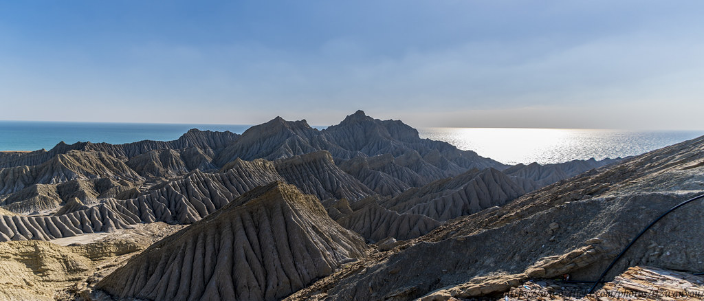
DSC_3744-Pano

DSC_3751-Pano
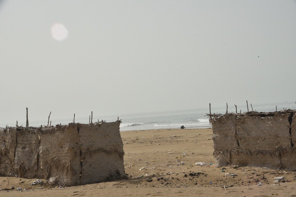
Kund Malir beach

Kund Malir beach

Kund Malir beach

Kund Malir beach

Kund Malir beach

Kund Malir beach

Kund Malir beach

Kund Malir beach

Kund Malir beach

Kund Malir beach

Kund Malir beach
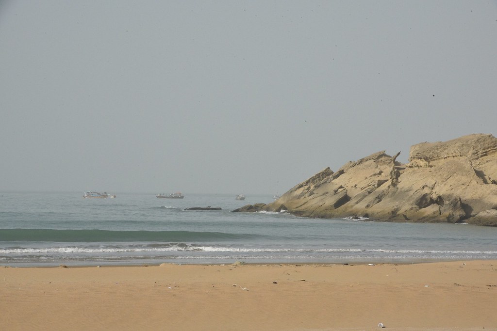
Kund Malir beach

Kund Malir beach

Kund Malir beach

Kund Malir beach
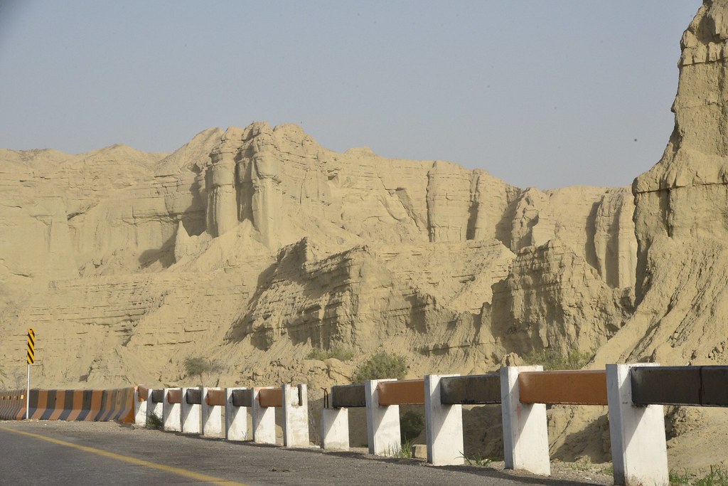
Makran Coastal Highway
Topographic Map of Liari, Las Bela, Balochistan, Pakistan
Find elevation by address:

Places in Liari, Las Bela, Balochistan, Pakistan:
Places near Liari, Las Bela, Balochistan, Pakistan:
Kund Malir
Kund Malir Road
Great Sphinx
Princess Of Hope
Buzi Pass
Buji Koh, Sapat Bandar, Hingol National Park
Highest Live Mud Volcano
Ormara
Recent Searches:
- Elevation of Corso Fratelli Cairoli, 35, Macerata MC, Italy
- Elevation of Tallevast Rd, Sarasota, FL, USA
- Elevation of 4th St E, Sonoma, CA, USA
- Elevation of Black Hollow Rd, Pennsdale, PA, USA
- Elevation of Oakland Ave, Williamsport, PA, USA
- Elevation of Pedrógão Grande, Portugal
- Elevation of Klee Dr, Martinsburg, WV, USA
- Elevation of Via Roma, Pieranica CR, Italy
- Elevation of Tavkvetili Mountain, Georgia
- Elevation of Hartfords Bluff Cir, Mt Pleasant, SC, USA