Elevation of Lexington Ln, Earlysville, VA, USA
Location: United States > Virginia > Albemarle County > White Hall > Earlysville > Lexington >

Longitude: -78.481615

Latitude: 38.197325

Elevation: 188m / 617feet

Barometric Pressure: 99KPa

Elevation Map:

elevation map of Lexington Ln, Earlysville, VA, USA
Satellite Map:

Satellite map of Lexington Ln, Earlysville, VA, USA
Related Photos:

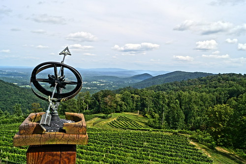
virginia winery blueridgemountains blinkagain stonemountainvineyard
looking east
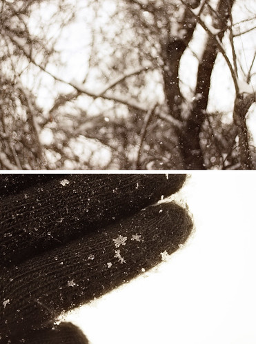
snowflake trees winter snow diptych bokeh glove project365 project36612010
Snow Day
church virginia graceepiscopalchurch stanardsville
Grace Episcopal Church
virginia unitedstates charlottesville
objects in the rear view mirror may appear...
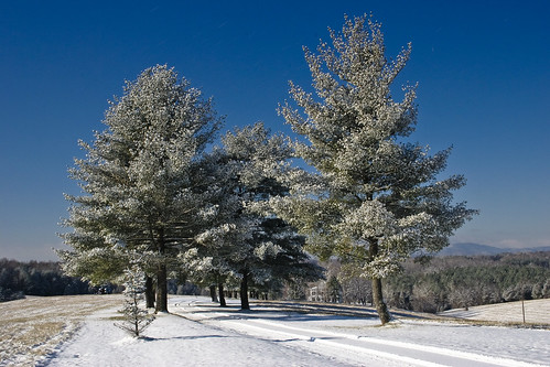
snow landscape virginia 2007
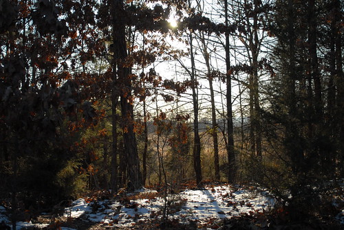
Snowy trees
autumn trees mountain fall nature leaves landscape lydia
whiskedaway2-1111.jpg
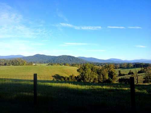
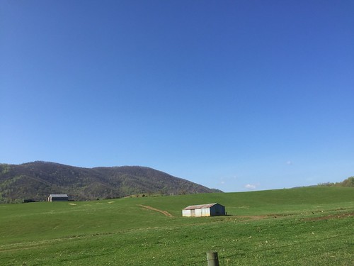
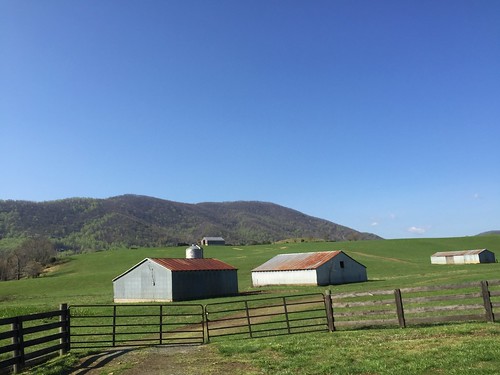
View of the southwest mountains from our NE paddock/field
uploaded:by=flickrmobile colorvibefilter flickriosapp:filter=colorvibe
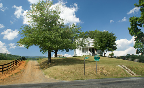
Stopped here to take in the view for the first time.
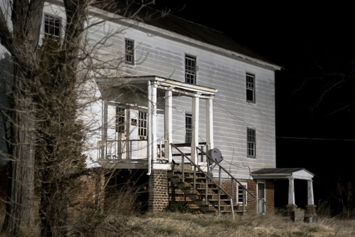
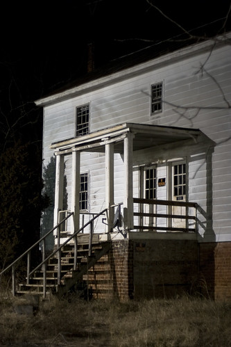
nightphotography trees house building abandoned landscape virginia 2008 harsh rundown
House view 2
dog cute animal puppy virginia labrador labradorretriever charlottesville
Yellow Lab Puppy
autumn trees mountain tree fall film nature leaves 35mm canon landscape eos leaf lydia 630
FILM_whiskedaway-038.jpg
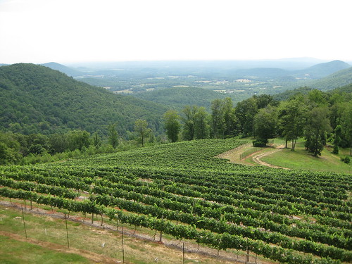
vineyard wine winery greencounty virginiawine stonemountainvineyards
Stone Mountain Vineyards - the view
nightphotography trees house building abandoned landscape virginia 2008 harsh rundown
House view 3
show classic chevrolet car virginia 1938 convertible charlottesville picnik packard jimprice model120 20101016
20938 2010 Fall Classic Car Show Jim Price Chevrolet
clouds maps universityofvirginia mapping survey blueridgemountains countryliving charlottesvillevirginia funatwork surveyors thetreeoflife cumulusclouds albemarlecounty joysoflife hanovercountyvirginia julyafternoon boundarylines thecommonwealthofvirginia virginiawinegrowingcountry foxmountains earlysvillevirginia downingsurveysashlandvirginia constructuionstakeoutroadshighwaysparkinglotsinterchanges countryroadsmountainmommawestvirginia cartersmountainpeachandappleorchards oldvirginiasurveyorhotmaildotcom moderndaysurveying countryboundarylinesurveying backcountryroadsofamerica surveyinghistory
THE TREE OF LIFE, EARLYSVILLE, VIRGINIA
trees panorama snow virginia 2010 photostitch ruckersville
Snowy Hay Bales
geotagged geo:lat=38183478627451 geo:lon=784413917647059
No Advance
pie geotagged day favorites sv08 piedayfavorites geo:lat=382361334666669 geo:lon=785981574666668 openspacefarm
Boonesville Beauty
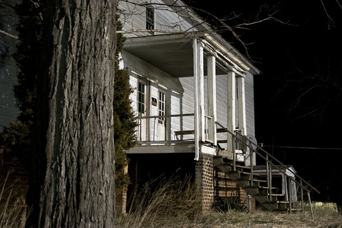
nightphotography trees house building abandoned landscape virginia 2008 harsh rundown
House view 5
winter snow leaves diptych project365 project36612010
Snowy Leaves
Winter Solstice Cville Run - 2010 (55)
water virginia charlottesville trickle ivycreek
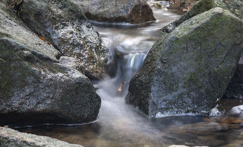
Small Waterfall
square squareformat iphoneography instagramapp xproii uploaded:by=instagram foursquare:venue=4eb986359a52ad1e40ac5920
#terrific #sunset !!
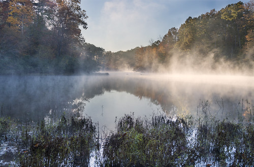
morning fog virginia nikon reservoir charlottesville explored ivycreeknaturalarea d7100 lvnative
Foggy Morning
winter lake ice creek river pond stream natural hiking ivy bluesky area charlottesville albemarle rivannareservoir
Ivy Creek Natural Trail
lake color reflection tree ice nature water beautiful creek landscape photography 50mm virginia pond natural decay sony fine ivy reservoir area charlottesville alpha albemarle a55
Reflections Through the Ice; Ivy Creek Natural Area; Charlottesville, Virginia
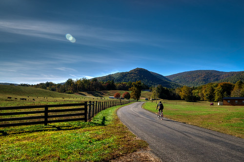
road bicycle nikon ride country flare d300 albemarlecounty nikonafsdx1755mmf28 bobmical
Blackwells Hollow Rd (Rt 810)
rural landscape virginia nikon country shenandoah d300 shenandoahnationalpark nikonafsdx1755mmf28gifed bobmical
Prize Hill
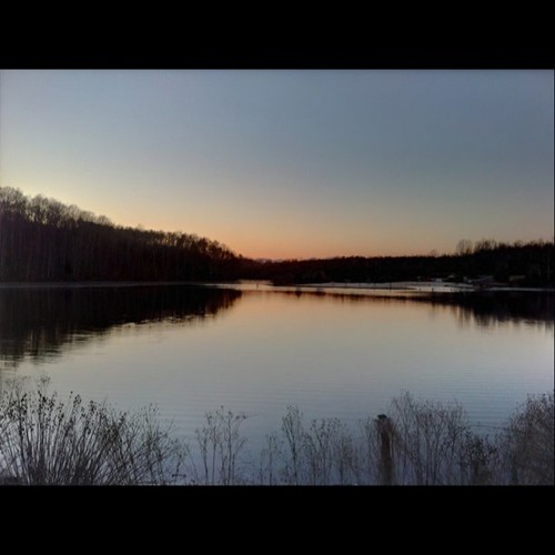
square squareformat iphoneography instagramapp uploaded:by=instagram foursquare:venue=333904
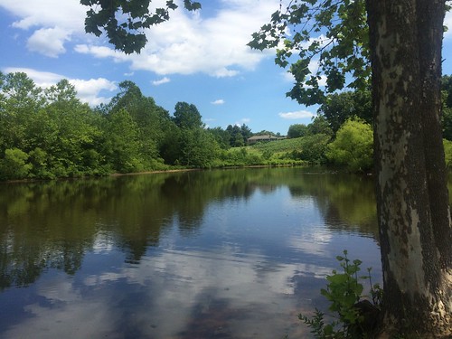
A lake near by C'ville Airport
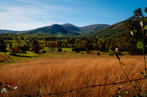
flowers field virginia unitedstates breeze
Breezy Field
Blackwells Hollow ride
DSC_0008(8)
DSC_0095(6)
DSC_0014(14)
Blackwells Hollow ride
sunset landscape outside outdoors virginia nikon nef charlottesville foxfield lightroom albemarle d5100 bobmical
Fox Field
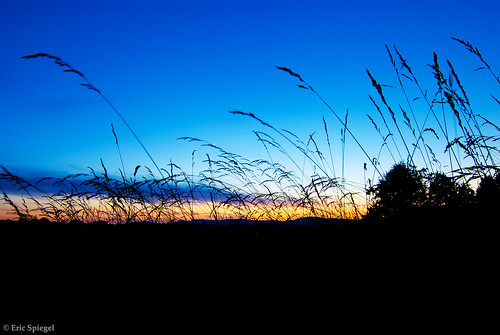
travel blue sunset sky plants color grass silhouette clouds digital rural landscape outside outdoors virginia dusk farm scenic wideangle tokina ultrawide travelphotography nikond80 ruckersville doverfoxcroftfarm
Sunset Through the Tall Grass
Last Light at Chris Greene Lake
Glass House Winery
uploaded:by=flickrmobile flickriosapp:filter=nofilter
Chris Greene Lake Park
DSC_0035(16)