Elevation of Lewisporte, NL, Canada
Location: Canada > Newfoundland And Labrador > Division No. 8 >
Longitude: -55.059154
Latitude: 49.2450384
Elevation: 5m / 16feet
Barometric Pressure: 101KPa
Elevation Map:
Satellite Map:
Related Photos:

Merry Christmas!
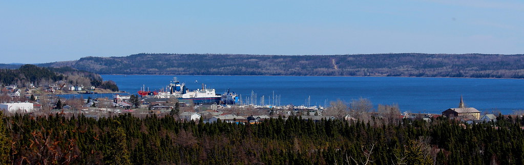
Lewisporte East end
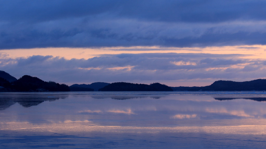
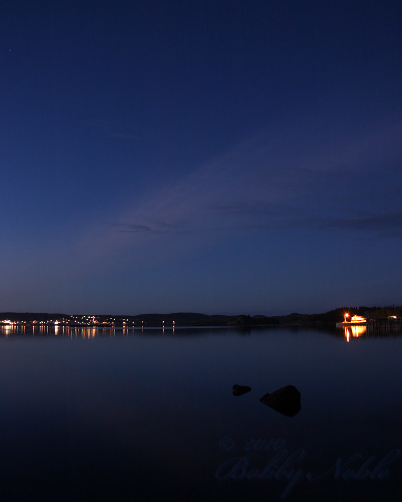
Daybreak, April 13
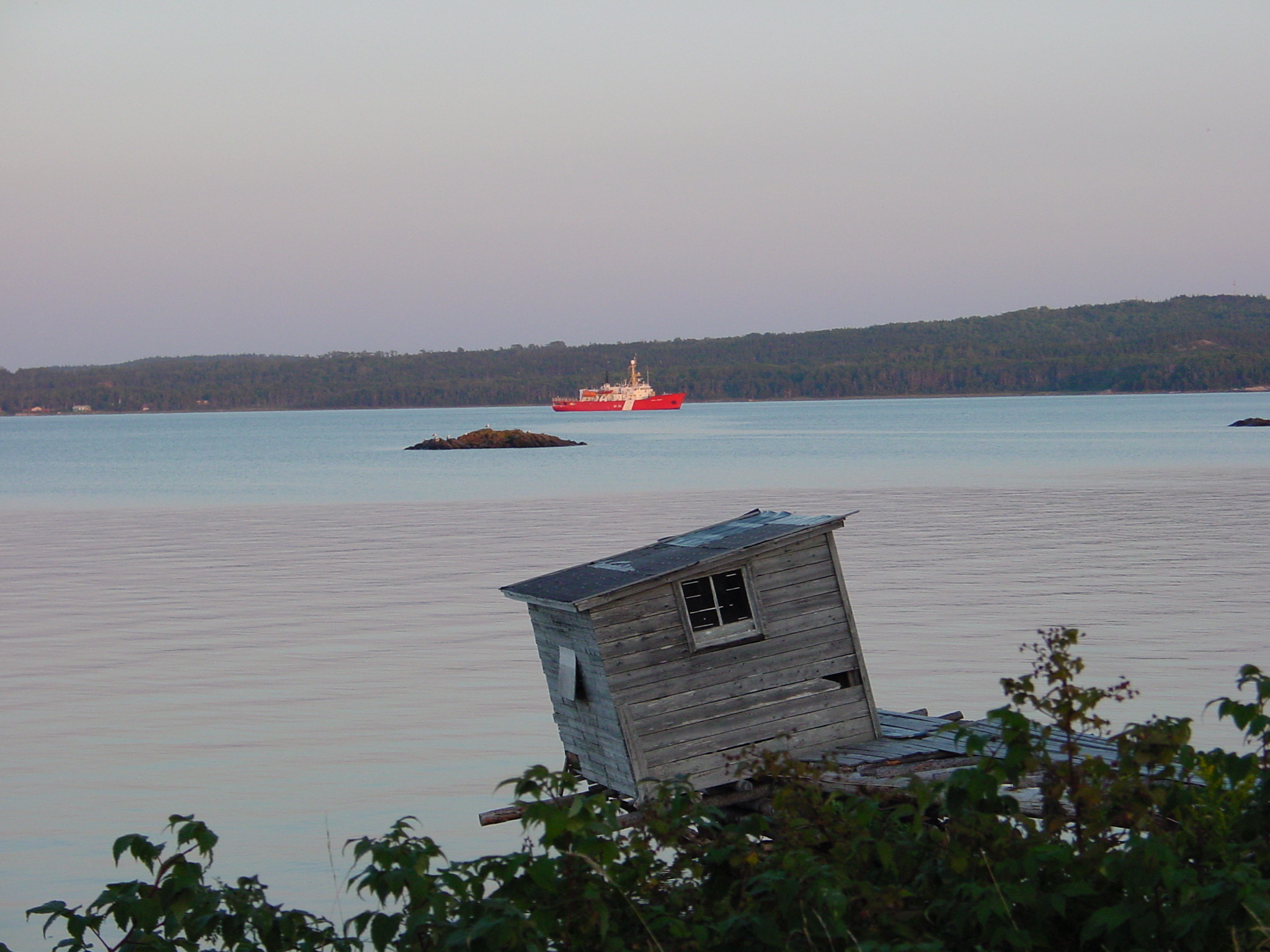
Coast Guard

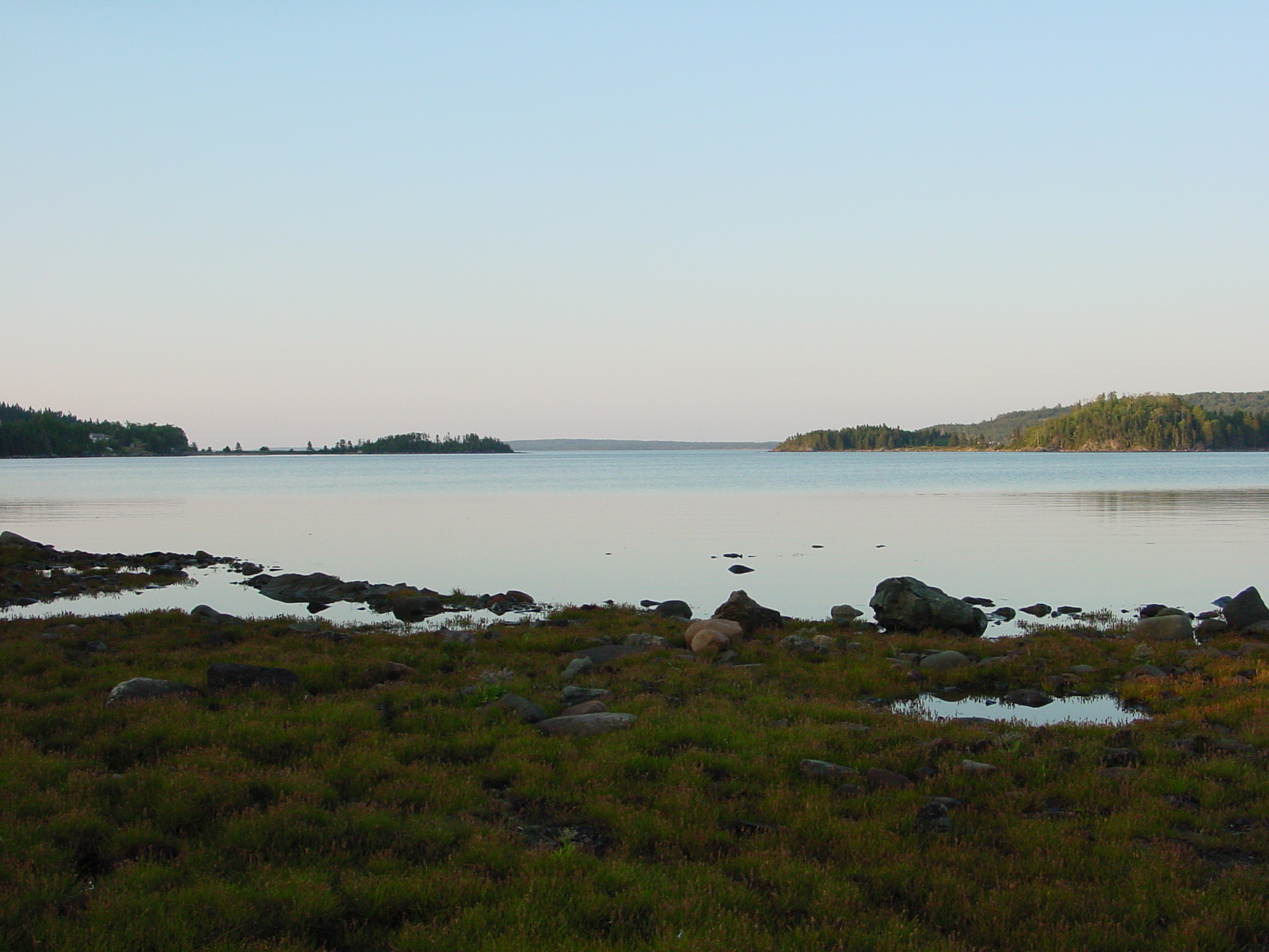
pl08juin11 215
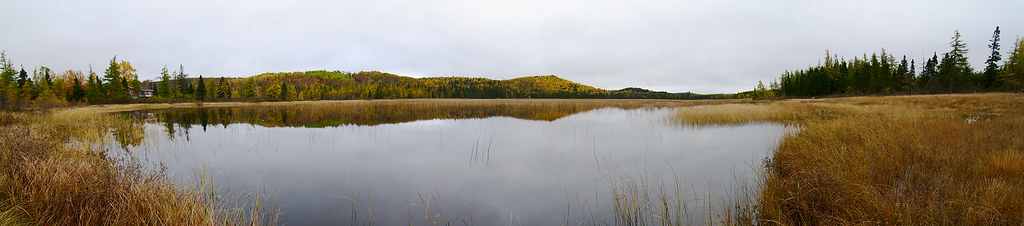
Loon Bay
Spring Break!

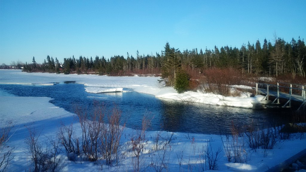
Winter at Lewiporte Marina
Lewisporte Harbour
Home Away From Home

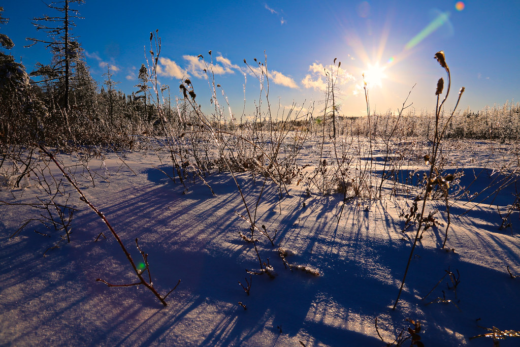
Frozen Grass
Winter Landscape
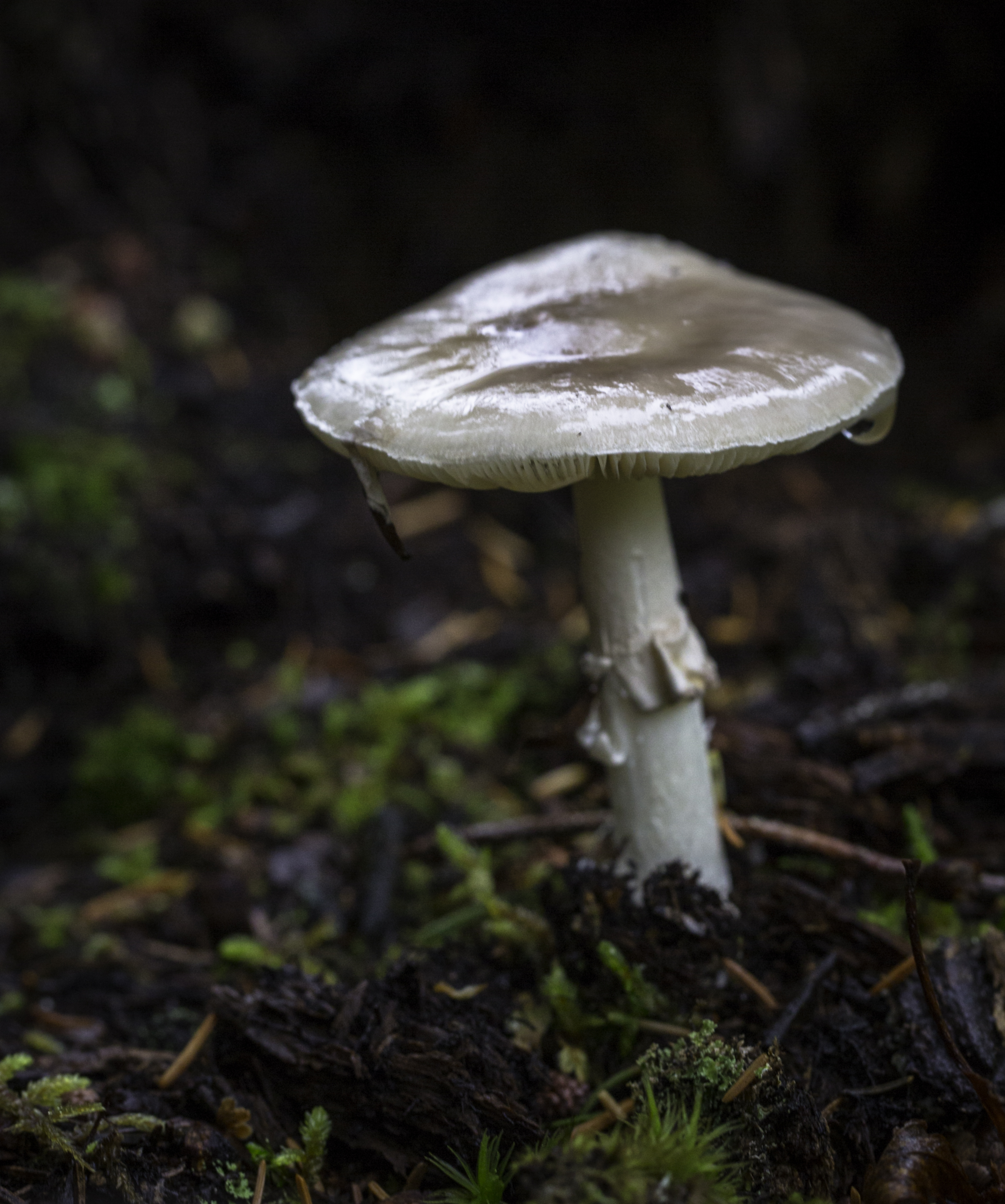
Amanita porphyria
Topographic Map of Lewisporte, NL, Canada
Find elevation by address:

Places near Lewisporte, NL, Canada:
8 Station Rd, Lewisporte, NL A0G 3A0, Canada
11 Pine Ave
11 Pine Ave
11 Pine Ave
Hwy, Little Burnt Bay, NL A0G 3B0, Canada
Little Burnt Bay
Campbellton
Bob Clark Dr, Campbellton, NL A0G 1L0, Canada
Division No. 8, Subd. E
Cottlesville
51 Lukes Arm Rd, Cottlesville, NL A0G 1S0, Canada
Point Leamington
40 Moores Cove Rd, Division No. 8, Subd. E, NL, Canada
16 Sunset Dr, Point Leamington, NL, Canada
Division No. 8, Subd. I
Triton
71 Simms Ln, Triton, NL A0J 1V0, Canada
Hwy, Brighton, NL A0J 1B0, Canada
2 Rowsell's Rd, Miles Cove, NL A0J 1L0, Canada
Miles Cove
Recent Searches:
- Elevation of Corso Fratelli Cairoli, 35, Macerata MC, Italy
- Elevation of Tallevast Rd, Sarasota, FL, USA
- Elevation of 4th St E, Sonoma, CA, USA
- Elevation of Black Hollow Rd, Pennsdale, PA, USA
- Elevation of Oakland Ave, Williamsport, PA, USA
- Elevation of Pedrógão Grande, Portugal
- Elevation of Klee Dr, Martinsburg, WV, USA
- Elevation of Via Roma, Pieranica CR, Italy
- Elevation of Tavkvetili Mountain, Georgia
- Elevation of Hartfords Bluff Cir, Mt Pleasant, SC, USA