Elevation of Lewis Township, IN, USA
Location: United States > Indiana > Clay County >
Longitude: -87.202099
Latitude: 39.2248465
Elevation: 184m / 604feet
Barometric Pressure: 99KPa
Elevation Map:
Satellite Map:
Related Photos:

Low Clouds with Sunset

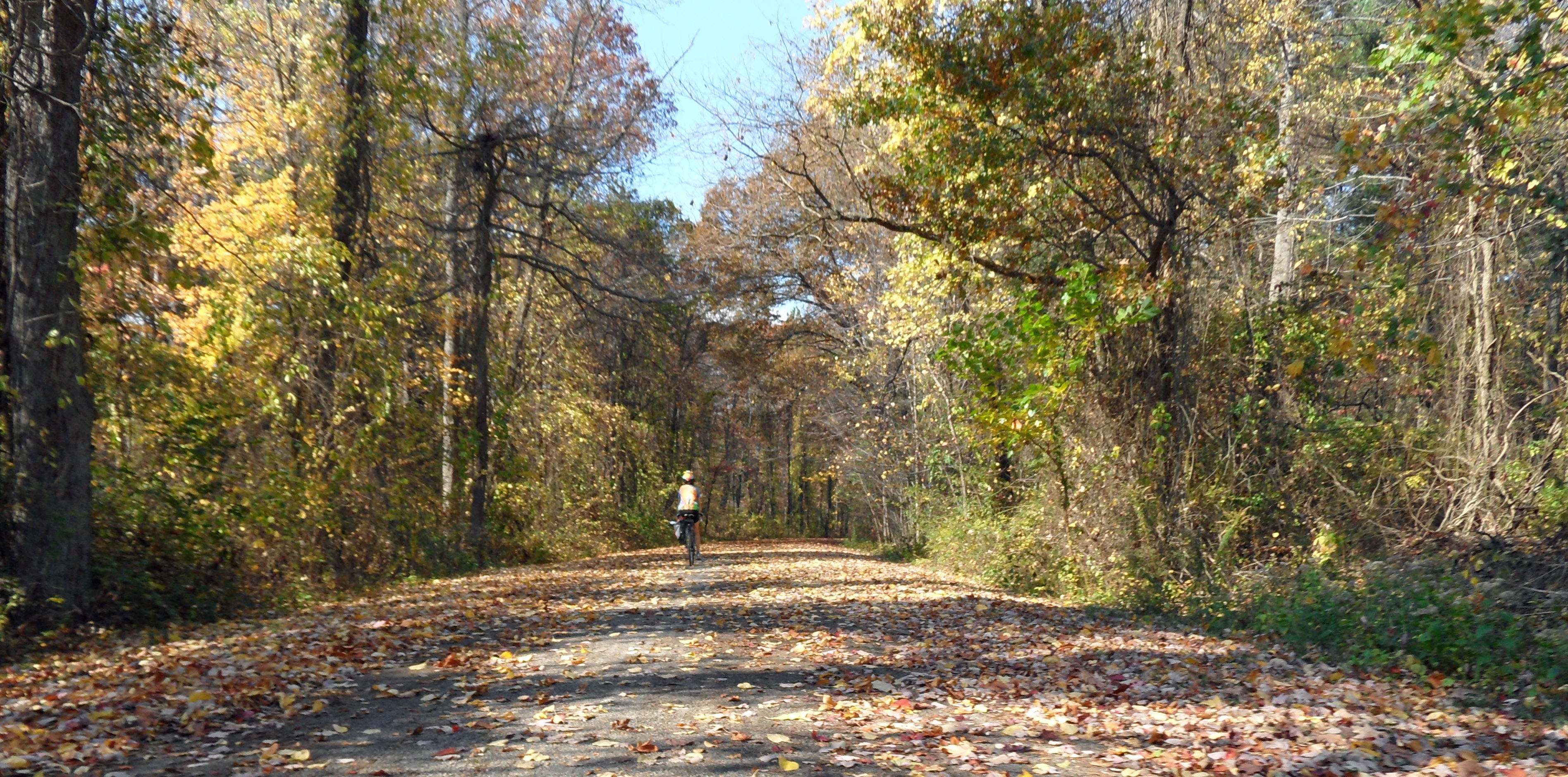
Fall Road
SAM_0625 katy on park road

Crystal Symmetry II (Explored)

Footbridge (Explored)
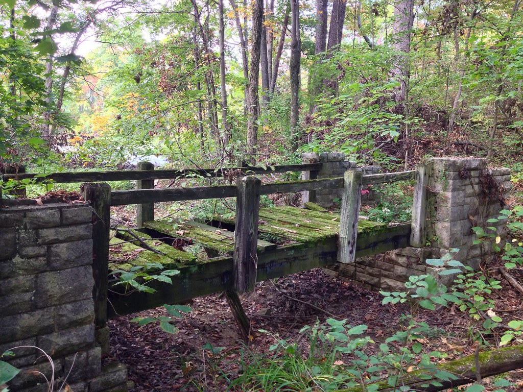
Footbridge to Nowhere
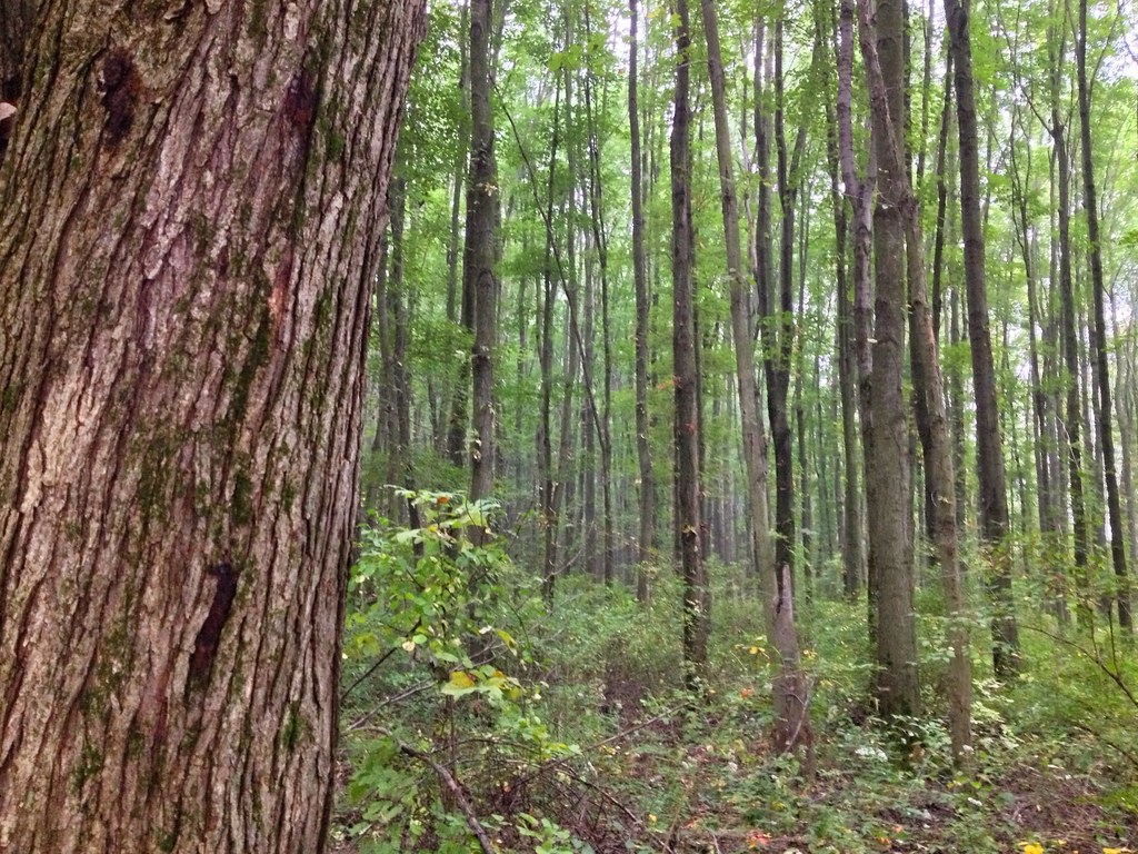
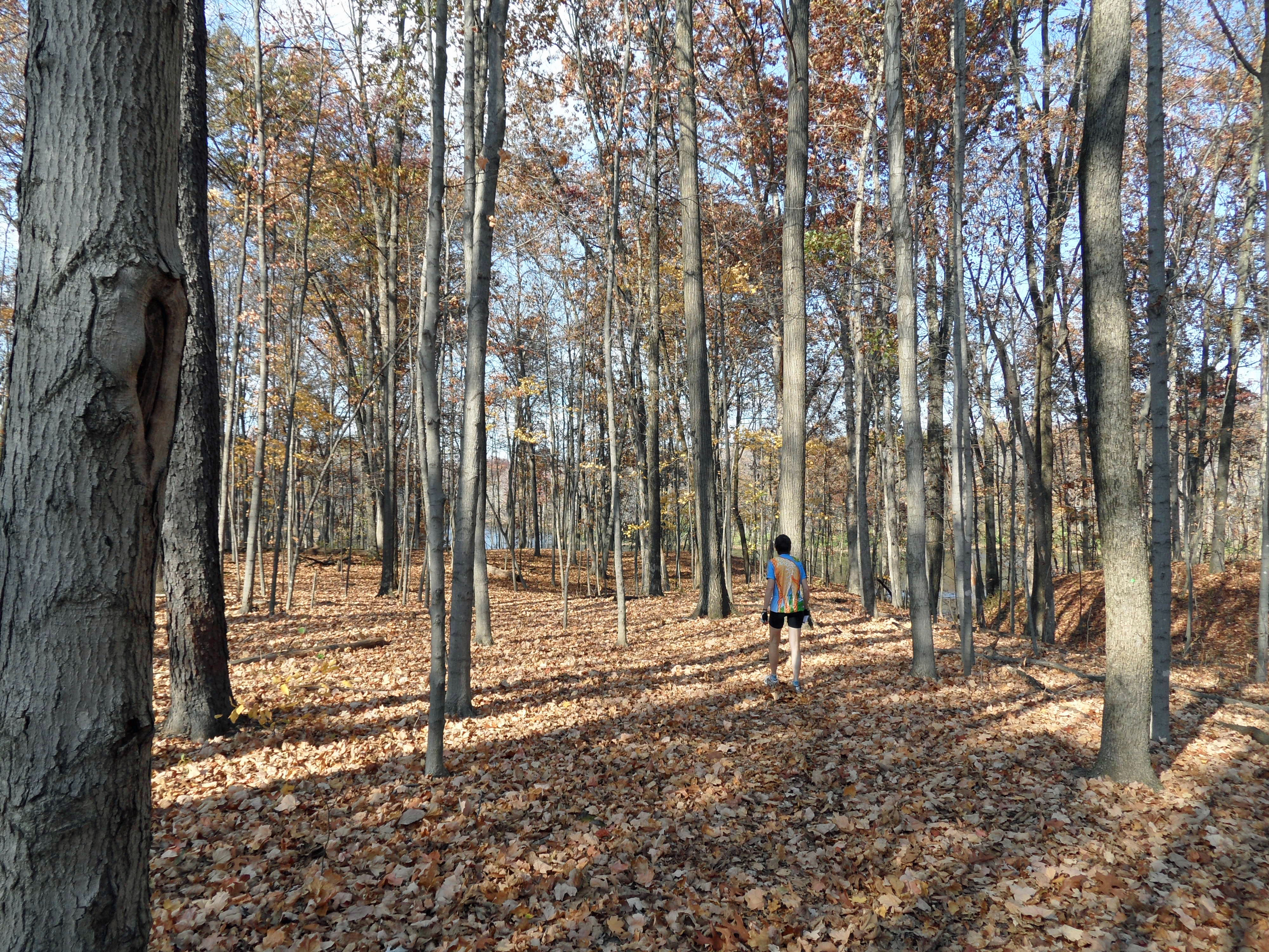
The Woods

SAM_0631 lake
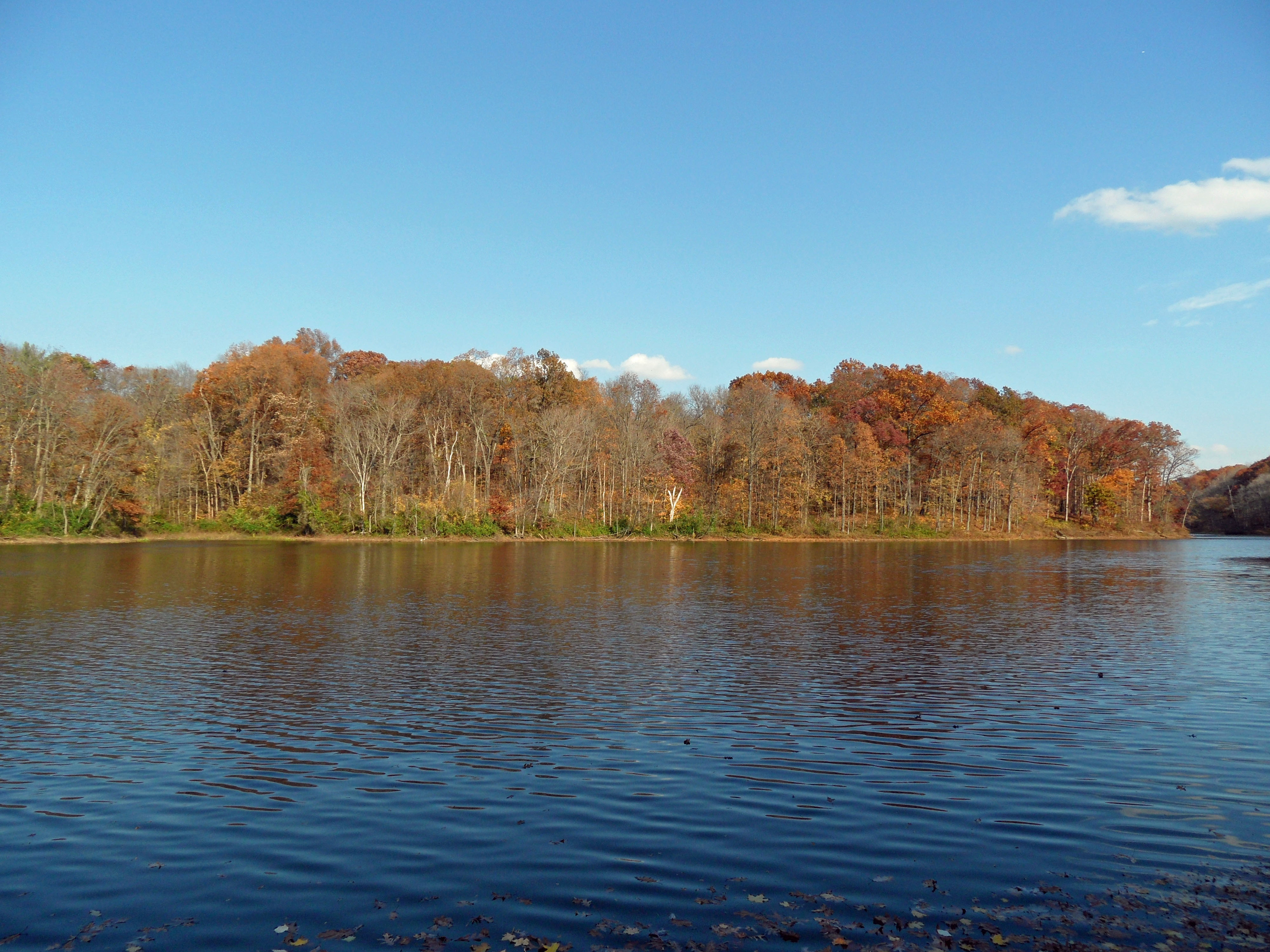
SAM_0634 lake from fishing pier
SAM_0628 katy on trail to fishilng pier
Topographic Map of Lewis Township, IN, USA
Find elevation by address:

Places in Lewis Township, IN, USA:
Places near Lewis Township, IN, USA:
W Public Rd, Coalmont, IN, USA
Coalmont
Jasonville
7122 S County Rd 600 W
Lewis
W County Rd S, Lewis, IN, USA
Wright Township
Penn St, Jasonville, IN, USA
N W, Jasonville, IN, USA
Cass Township
Cass
N Co Rd E, Sullivan, IN, USA
Po Box, Dugger, IN, USA
Dugger
Stockton Township
Farmersburg
S County Road E, Dugger, IN, USA
N Co Rd E, Sullivan, IN, USA
E County Road N, Shelburn, IN, USA
Shelburn
Recent Searches:
- Elevation of Corso Fratelli Cairoli, 35, Macerata MC, Italy
- Elevation of Tallevast Rd, Sarasota, FL, USA
- Elevation of 4th St E, Sonoma, CA, USA
- Elevation of Black Hollow Rd, Pennsdale, PA, USA
- Elevation of Oakland Ave, Williamsport, PA, USA
- Elevation of Pedrógão Grande, Portugal
- Elevation of Klee Dr, Martinsburg, WV, USA
- Elevation of Via Roma, Pieranica CR, Italy
- Elevation of Tavkvetili Mountain, Georgia
- Elevation of Hartfords Bluff Cir, Mt Pleasant, SC, USA