Elevation of Lewis Store Rd, Farmville, NC, USA
Location: United States > North Carolina > Pitt County > Farmville > Farmville >
Longitude: -77.649848
Latitude: 35.587924
Elevation: 25m / 82feet
Barometric Pressure: 101KPa
Elevation Map:
Satellite Map:
Related Photos:

U.S. 264, Pitt Co.
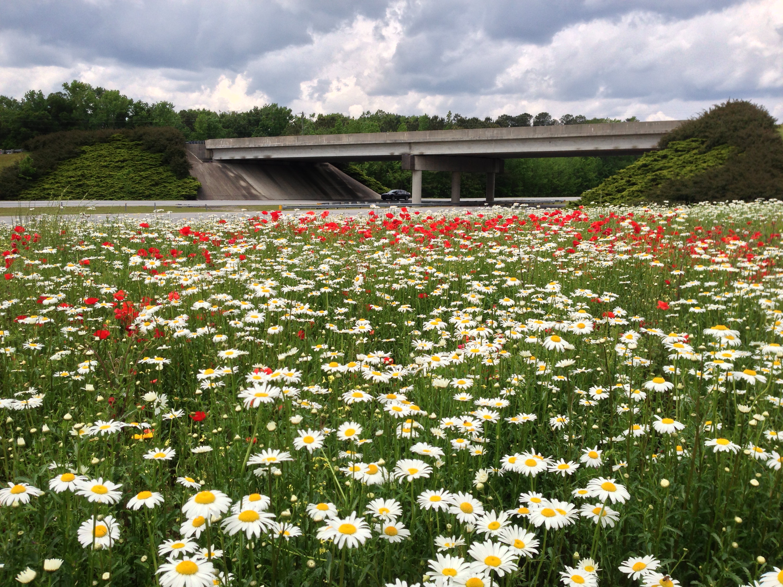
May 2013 - Farmville
FullSizeRender (1)
American Airlines – Boeing 737-823(WL) N836NN
Topographic Map of Lewis Store Rd, Farmville, NC, USA
Find elevation by address:

Places near Lewis Store Rd, Farmville, NC, USA:
Lewis Store Rd, Farmville, NC, USA
Carrs
Farmville
NC-91, Snow Hill, NC, USA
Nicks Nook, Farmville, NC, USA
Farmville
425 Dunwoody Rd
3291 Duke Dr
3235 Duke Dr
7063 Stantonsburg Rd
Fountain
Bruce Strickland Rd, Farmville, NC, USA
Falkland
US-13, Farmville, NC, USA
Arthur
1718 Oak Pointe Dr
NC-, Greenville, NC, USA
Chatham Way, Greenville, NC, USA
Huckleberry Lane
675 Jordan Dr
Recent Searches:
- Elevation of Corso Fratelli Cairoli, 35, Macerata MC, Italy
- Elevation of Tallevast Rd, Sarasota, FL, USA
- Elevation of 4th St E, Sonoma, CA, USA
- Elevation of Black Hollow Rd, Pennsdale, PA, USA
- Elevation of Oakland Ave, Williamsport, PA, USA
- Elevation of Pedrógão Grande, Portugal
- Elevation of Klee Dr, Martinsburg, WV, USA
- Elevation of Via Roma, Pieranica CR, Italy
- Elevation of Tavkvetili Mountain, Georgia
- Elevation of Hartfords Bluff Cir, Mt Pleasant, SC, USA