Elevation of Leonard Dr, Delmar, MD, USA
Location: United States > Maryland > Wicomico County > 5, Parsons > Delmar >
Longitude: -75.567483
Latitude: 38.427846
Elevation: 13m / 43feet
Barometric Pressure: 101KPa
Elevation Map:
Satellite Map:
Related Photos:

Park Foliage
riverside dr salisbury

Park IR

Juvenile RTH
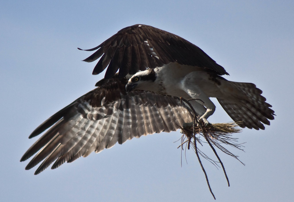
Nest Building: 101

The Path To The Infrarealm
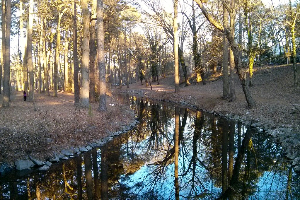
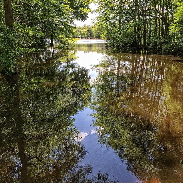
Stream view from a footbridge
bw version

Salisbury City Park
Foggy dawn, Camden Ave., Salisbury
The Blueblack Cold

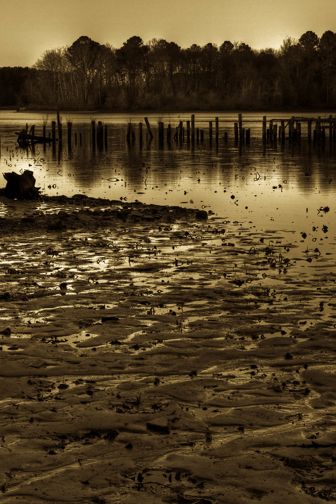
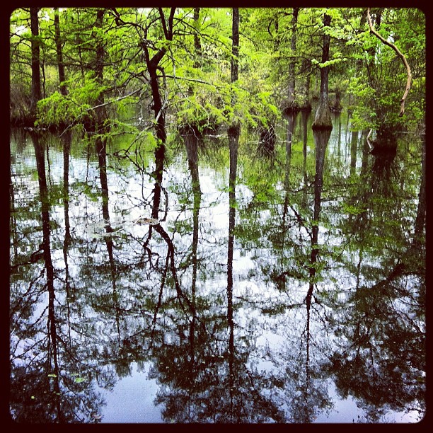
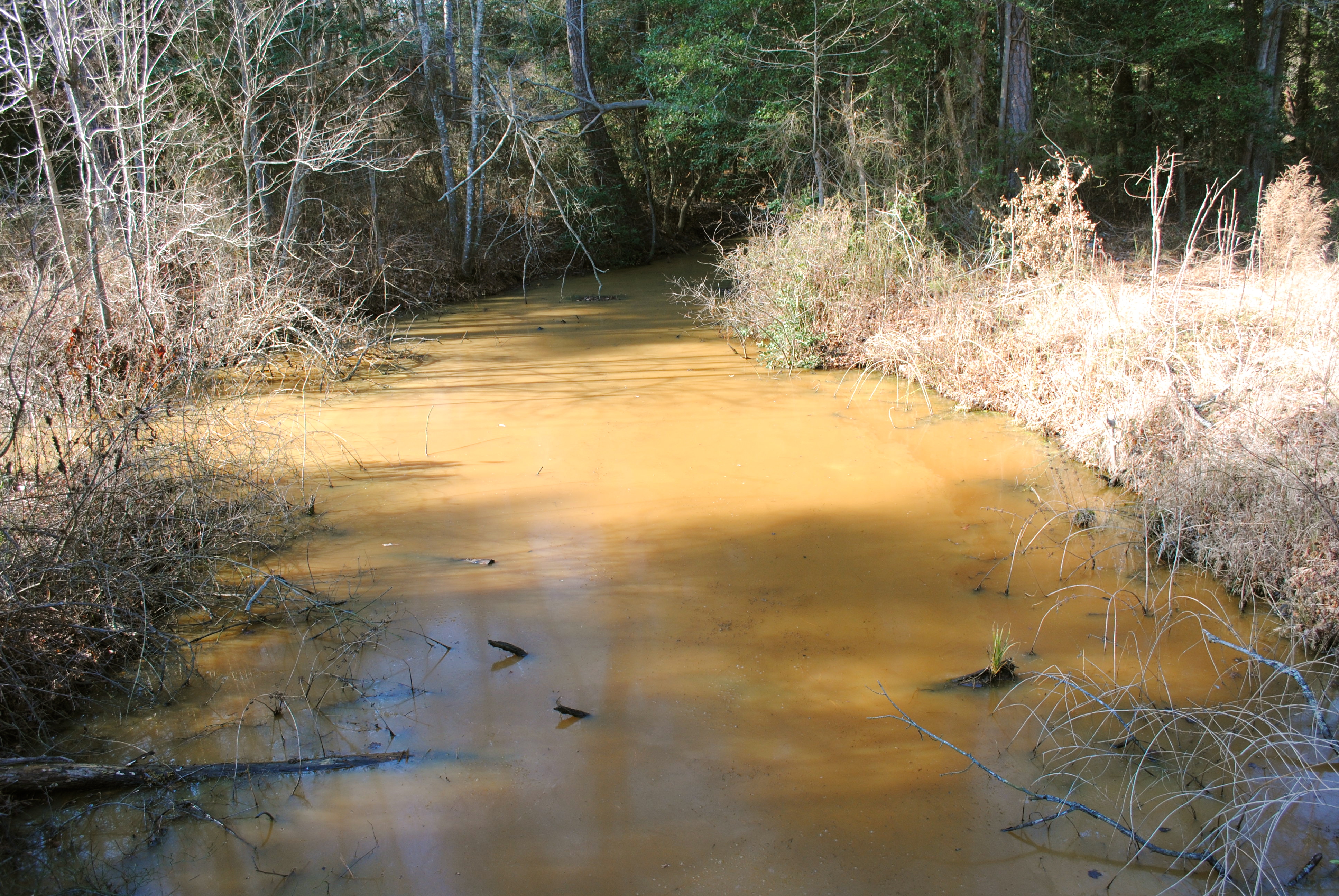
Wicomico River, East Prong
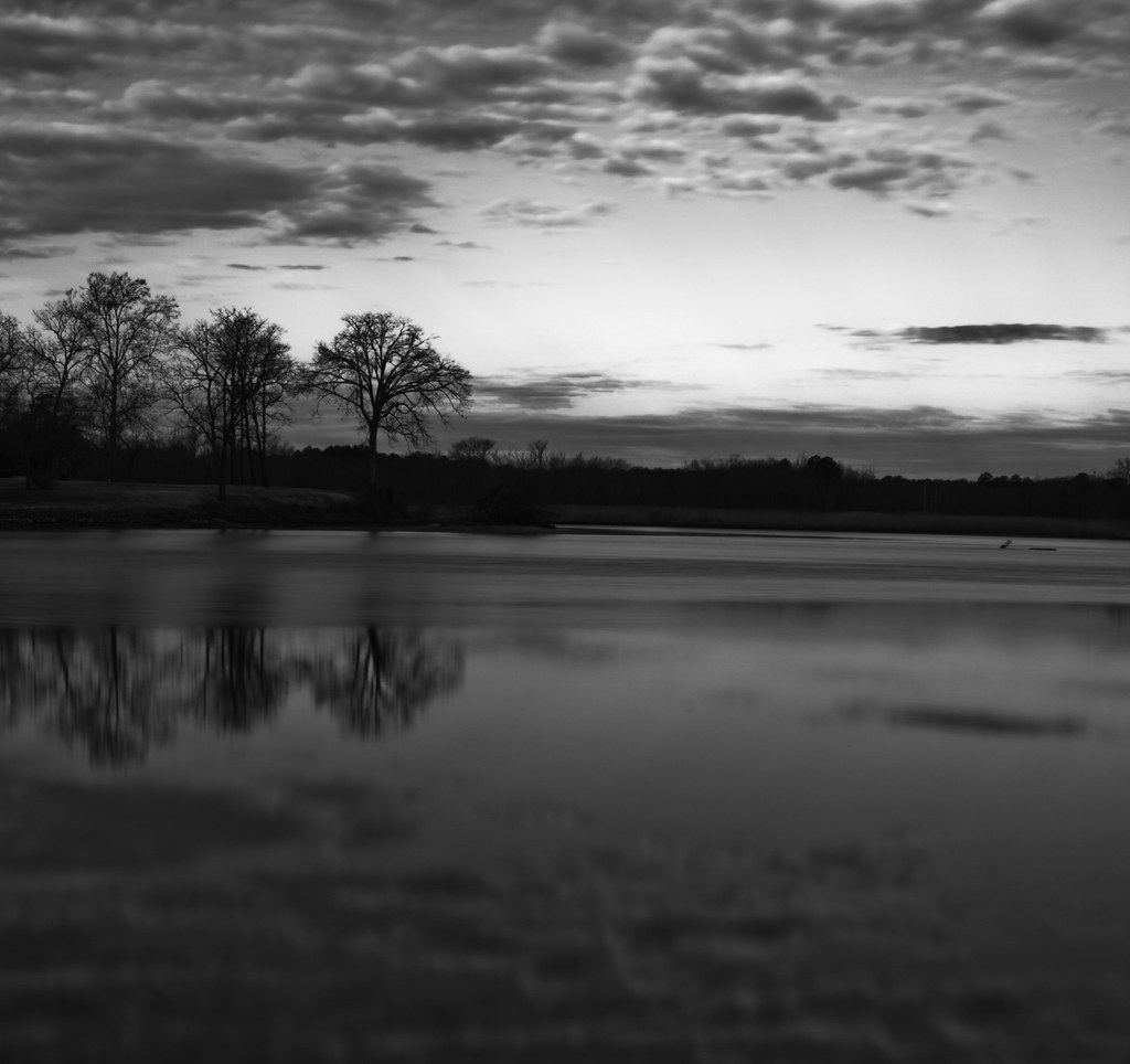
Almost B&W
Trees of Trussum - Taken near Trussom Pond and Trap Pond State Park in Laurel, DE
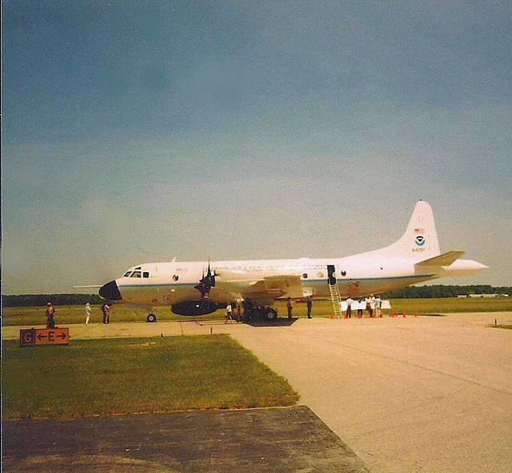
NOAA Hurricane Hunter Airplane

Only God can make a tree

Stream view from a footbridge
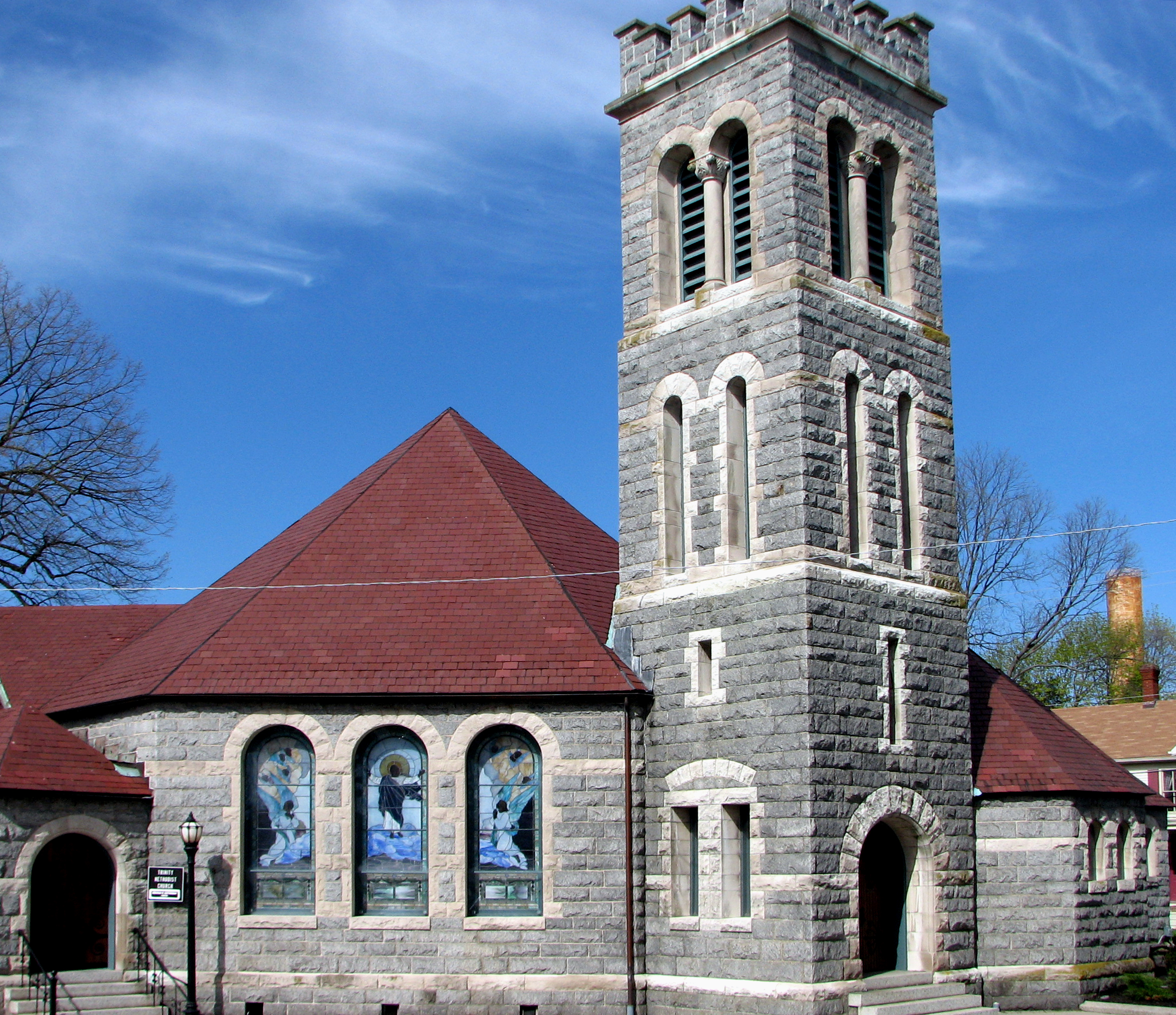
Trinity U.M. Church, Salisbury, Maryland
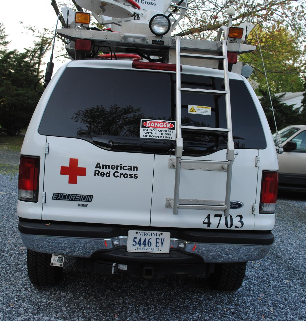
Emergency Communications Response Vehicle (ECRV) 4703
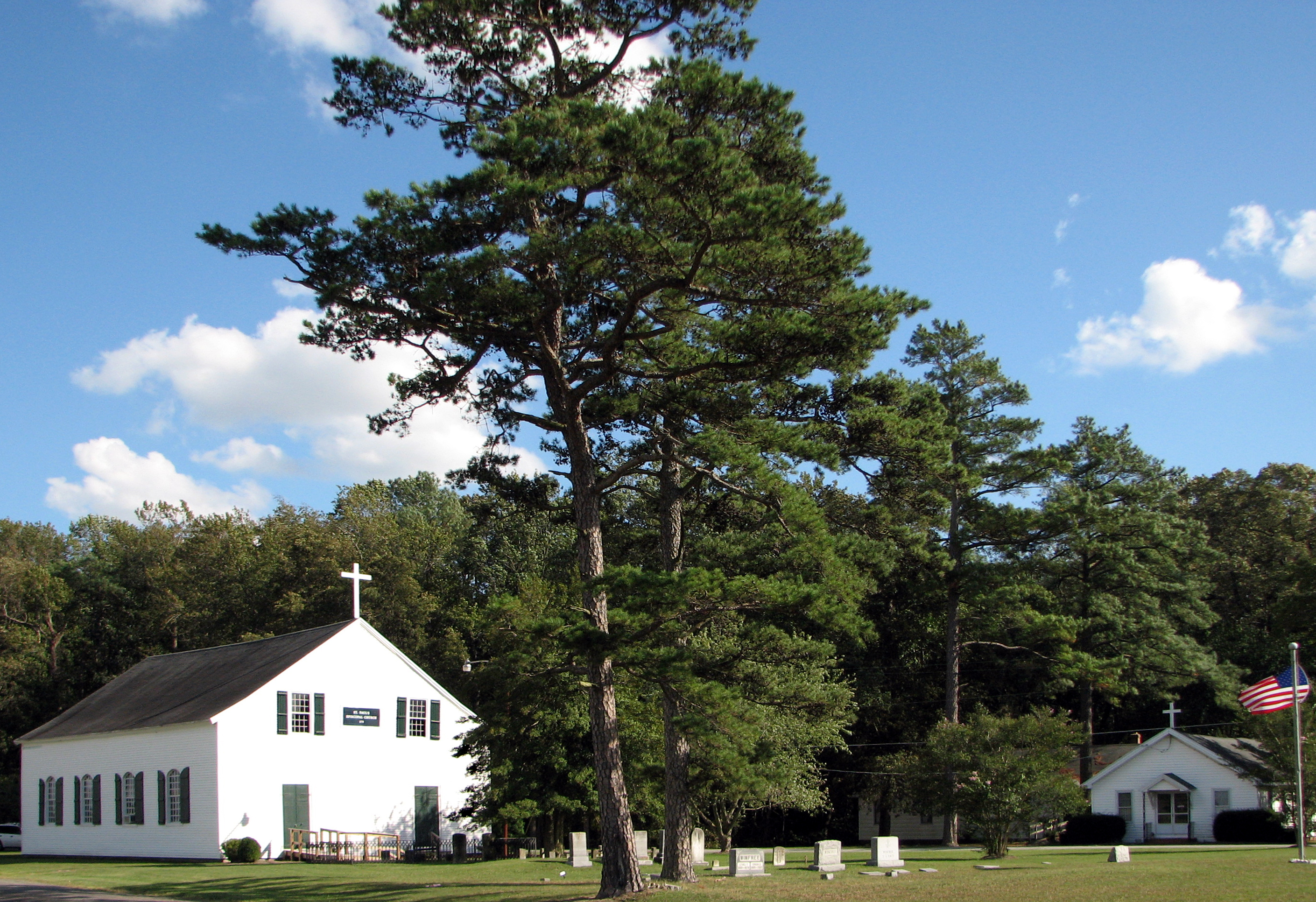
St. Paul's Episcopal Church, "Old Spring Hill"

Swallow Reflection
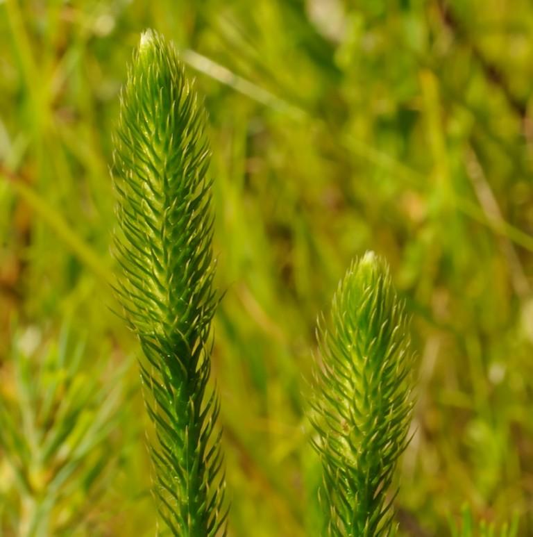
Bog Lycopodium
Hiking with Max today.
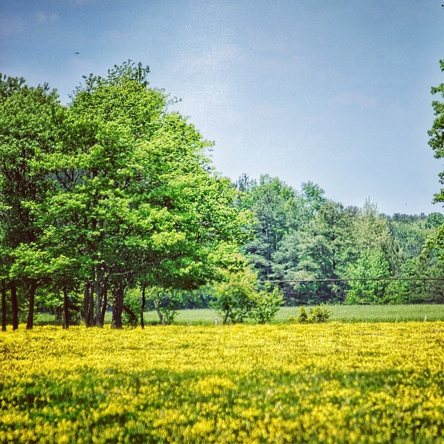
#delaware #field#spring #wildflower #yellow #laurel
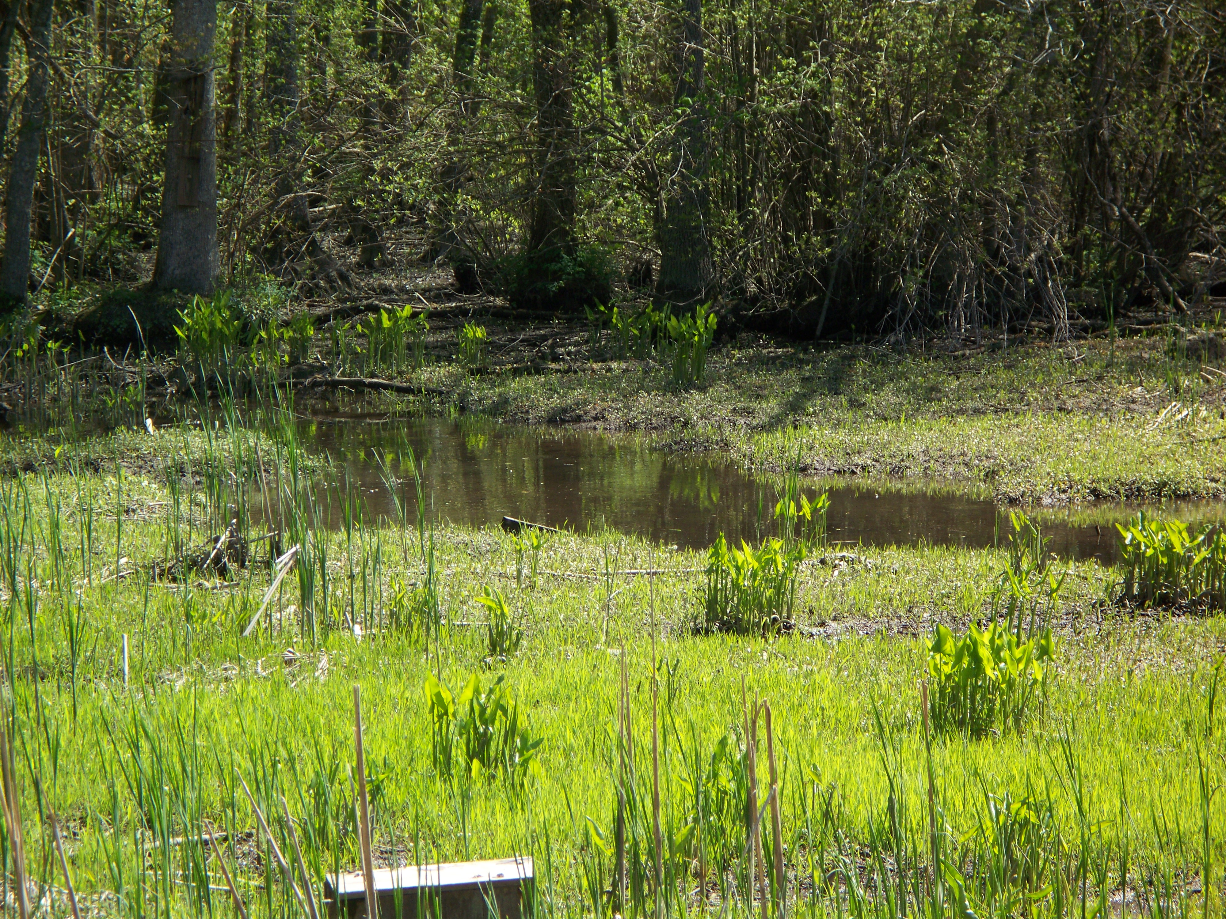
Marsh at Pemberton Historic Park

Country Road
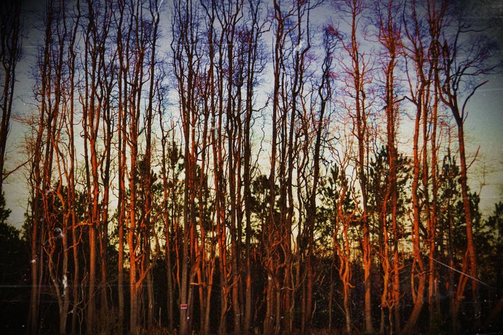
Stand of Trees

colorado horses
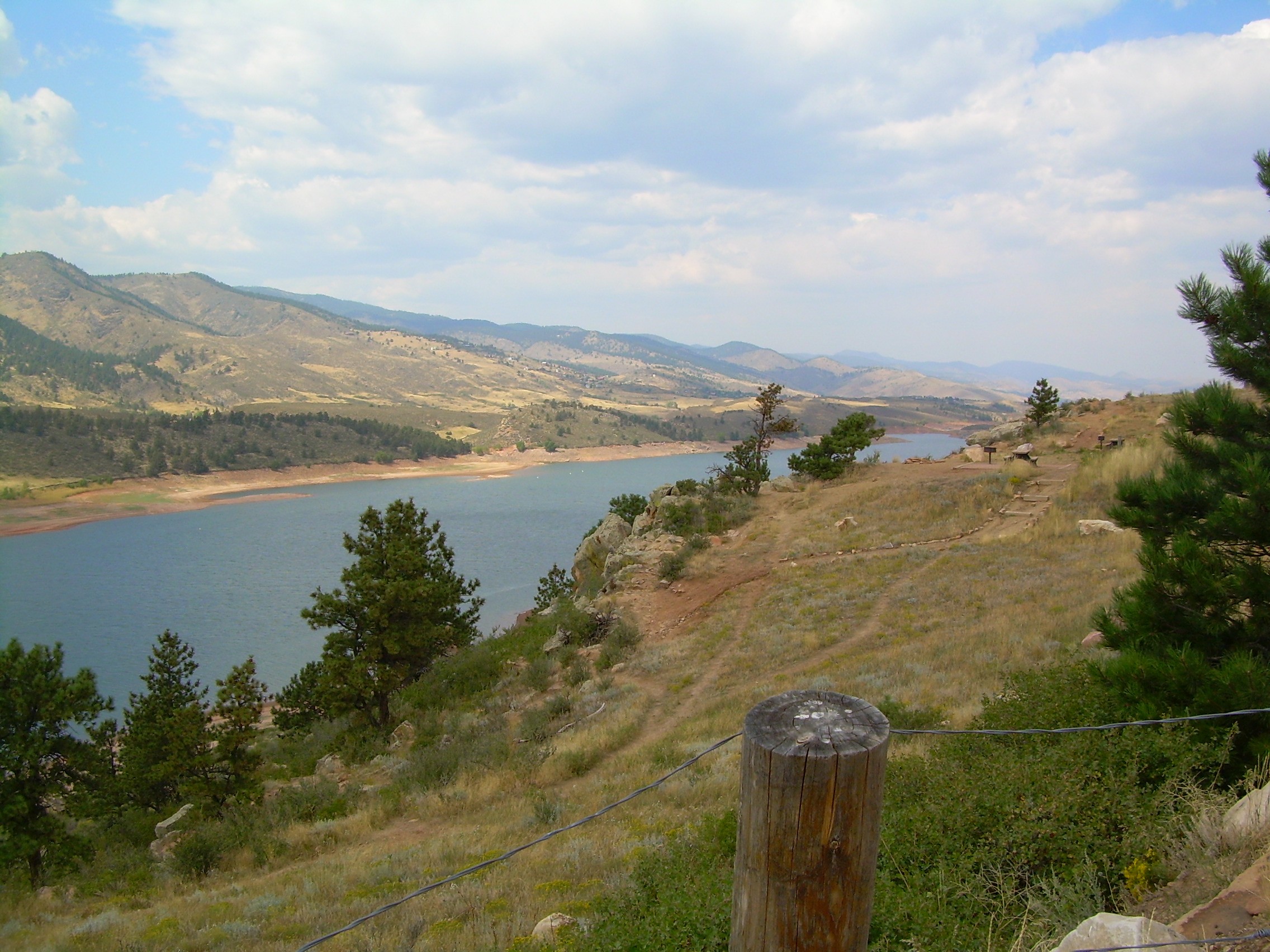
colorado scenery 2
Trap Pond State Park
#trappond#delaware #pond

Assateague Horse and Landscape
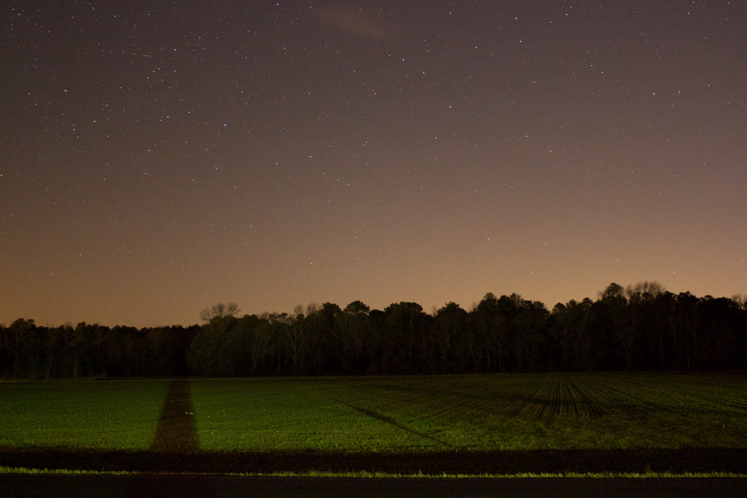
Field at Night

Site 9. Mitchel Pond
Assateague Landscape

Tonights sunset was awesome! Capturing it from a moving car on a cell hardly does it justice.
Trap Pond State Park
Trap Pond State Park
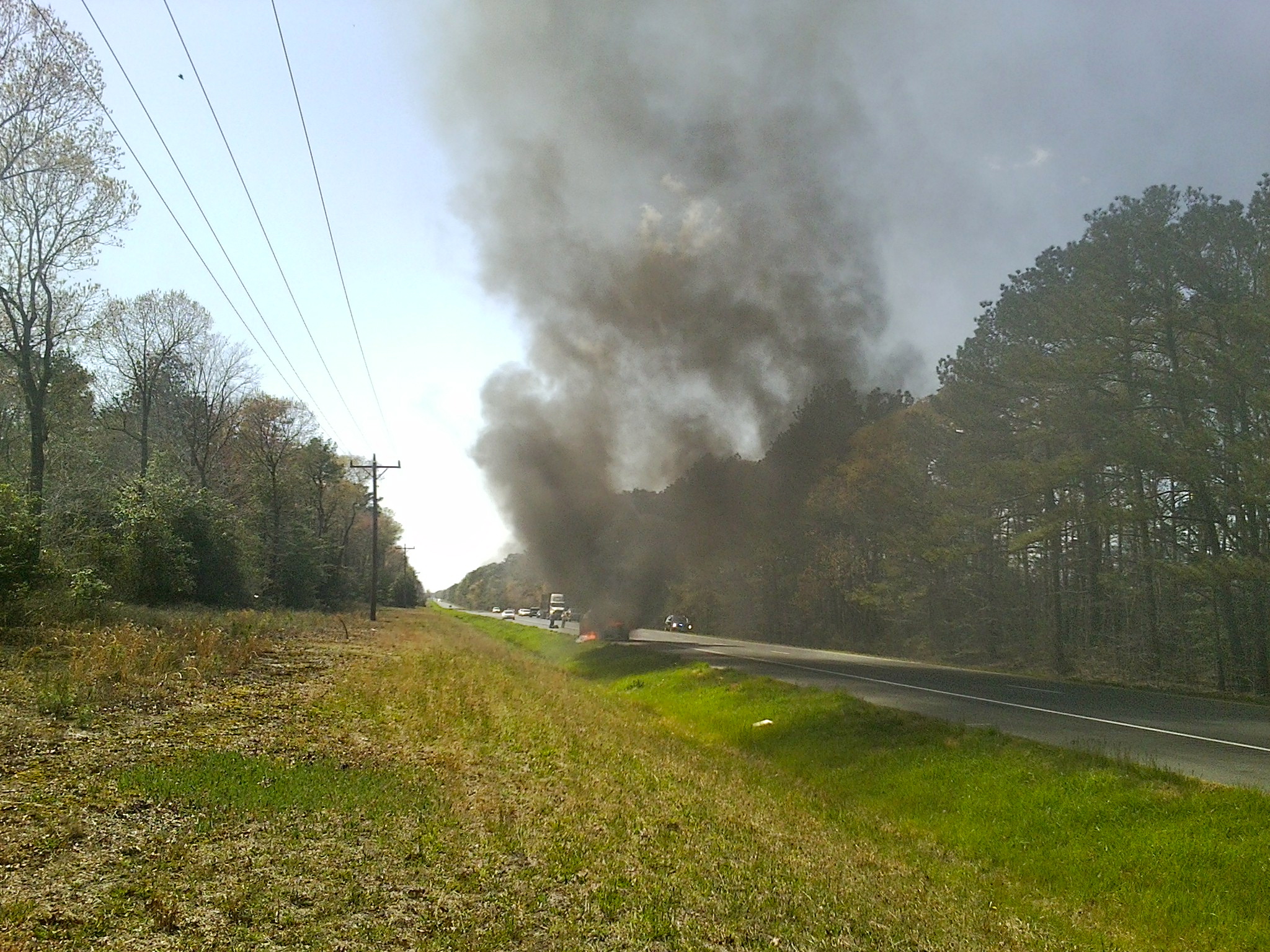
MD Route 50 Truck Fire

Trap Pond State Park
Topographic Map of Leonard Dr, Delmar, MD, USA
Find elevation by address:

Places near Leonard Dr, Delmar, MD, USA:
8709 Mar Lynn Dr
29994 Connelly Mill Rd
8718 Mar Lynn Dr
8863 Mar Lynn Dr
Dagsboro Road
Mill Pond Village Apartments
Colonial Mill Dr, Delmar, MD, USA
420 Lindenhurst Ct
Connelly Mill Rd
Delmar
Delmar
Zion Rd, Salisbury, MD, USA
Cherry Way
Bowman Dr, Salisbury, MD, USA
410 Deborah Dr
6933 Sandy Ridge Ct
Priscilla Street
Morris Leonard Rd, Parsonsburg, MD, USA
Louise Avenue
109 Pacific Ave
Recent Searches:
- Elevation of Corso Fratelli Cairoli, 35, Macerata MC, Italy
- Elevation of Tallevast Rd, Sarasota, FL, USA
- Elevation of 4th St E, Sonoma, CA, USA
- Elevation of Black Hollow Rd, Pennsdale, PA, USA
- Elevation of Oakland Ave, Williamsport, PA, USA
- Elevation of Pedrógão Grande, Portugal
- Elevation of Klee Dr, Martinsburg, WV, USA
- Elevation of Via Roma, Pieranica CR, Italy
- Elevation of Tavkvetili Mountain, Georgia
- Elevation of Hartfords Bluff Cir, Mt Pleasant, SC, USA