Elevation of Lennard Brook WA, Australia
Location: Australia > Western Australia > Shire Of Gingin >
Longitude: 115.912444
Latitude: -31.379971
Elevation: 92m / 302feet
Barometric Pressure: 100KPa
Elevation Map:
Satellite Map:
Related Photos:

DSC_0222

Graveyard of St Luke's Church, Gingin, 2002

Sunrise in Gingin, Western Australia
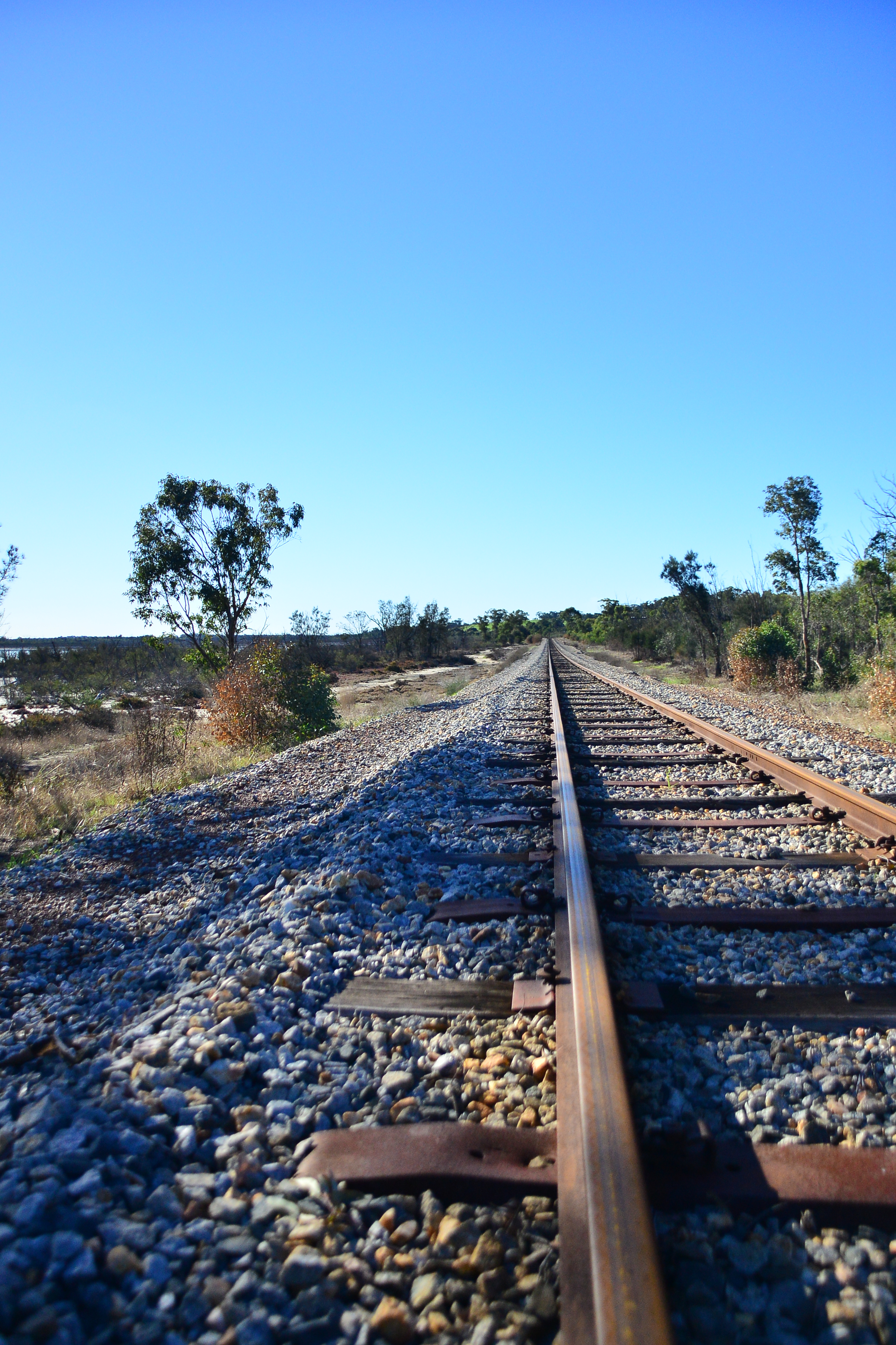
Railway in Gingin, Western Australia

Road Construction

Motor Grader

Motor Grader

Rail way in Gingin, WA
Topographic Map of Lennard Brook WA, Australia
Find elevation by address:

Places near Lennard Brook WA, Australia:
Gingin
174 Wowra Dr
Shire Of Chittering
Shire Of Gingin
Bullsbrook
Pearce
Alkimos
City Of Wanneroo
17 Cataby Pl
Wannamal
21 Dumaresq Loop
Tapping
Quinns Rocks
14 Tyson Pl
Ashby
Mindarie
5 Gibraltar Way
Marmion Avenue
Joondalup
26 Goolema Pl
Recent Searches:
- Elevation of Corso Fratelli Cairoli, 35, Macerata MC, Italy
- Elevation of Tallevast Rd, Sarasota, FL, USA
- Elevation of 4th St E, Sonoma, CA, USA
- Elevation of Black Hollow Rd, Pennsdale, PA, USA
- Elevation of Oakland Ave, Williamsport, PA, USA
- Elevation of Pedrógão Grande, Portugal
- Elevation of Klee Dr, Martinsburg, WV, USA
- Elevation of Via Roma, Pieranica CR, Italy
- Elevation of Tavkvetili Mountain, Georgia
- Elevation of Hartfords Bluff Cir, Mt Pleasant, SC, USA