Elevation of Lenawee Rd, Herbster, WI, USA

Location: United States > Wisconsin > Bayfield County > Clover > Herbster >

Longitude: -91.263384

Latitude: 46.8303392

Elevation: 193m / 633feet

Barometric Pressure: 99KPa

Elevation Map:

elevation map of Lenawee Rd, Herbster, WI, USA

Satellite Map:

Satellite map of Lenawee Rd, Herbster, WI, USA

Related Photos:

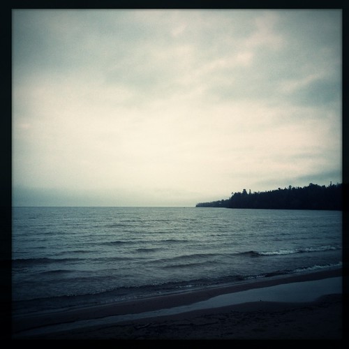
noflash wonderlens hipstamatic w40film
our first unfettered view of #LakeSuperior
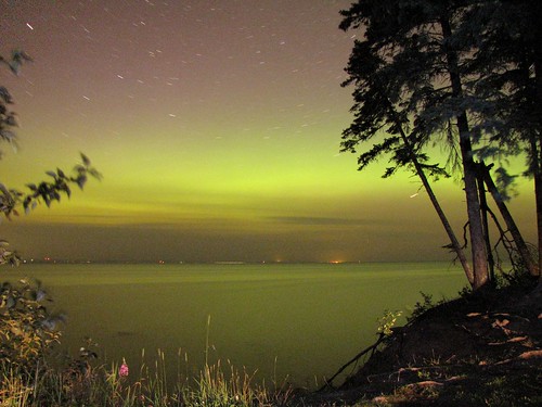
wisconsin stars photo lakesuperior northernlights auroraborealis
Northern Lights
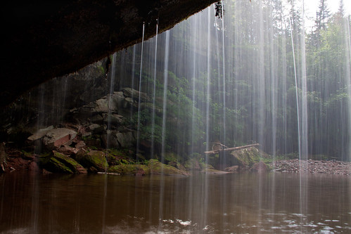
wisconsin waterfall twinfalls portwing
View from behind Twin Falls
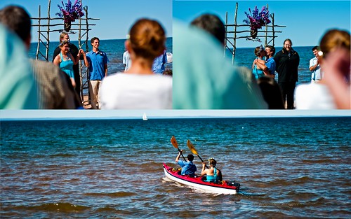
wedding sky lake beach water boat nikon kiss do kayak married superior sail mm 50 distillery wi cornucopia d90 i
I do
usa green nature water wisconsin digital america forest canon river flow waterfall midwest scenery scenic falls cascades northamerica flowing canoneos hdr northwoods cornucopia ironcounty northernwisconsin photomatix 24105l tonemapping siskiwit canon6d wisconsinwaterfalls siskiwitriver siskiwitfalls
Siskiwit Falls
county wisconsin creek lost waterfall hike falls remote bayfield 20thanniversaryraw
Lost Creek Falls
waterfall
Twin Falls splashway
twin falls
15 Lower Falls
waterfall portwing
Water slide
sun lake beach wisconsin swim bay sony superior wi a300
beach at Cornucopia
creek waterfall stream lostcreekfalls
Secret Spot!
square squareformat iphoneography instagramapp uploaded:by=instagram foursquare:venue=4bf6d5af5ec320a168d985d3
Cornucopia.
wisconsinstatenaturalarea
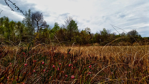
Bark Bay Slough State Natural Area
wisconsin waterfall twinfalls portwing
Twin Falls, Port Wing, Wisconsin
wisconsin waterfall twinfalls portwing
Tammy behind the falls
wisconsinstatenaturalarea
Lost Creek Bog State Natural Area
water minnesota mn lakesuperior hdr stillwaterjd
Lake Superior
creek waterfall stream lostcreekfalls
Lost Creek Falls
wisconsinstatenaturalarea
Port Wing Boreal Forest State Natural Area
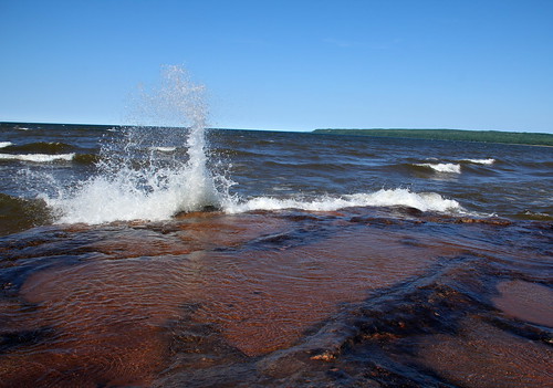
beach waves exploring splash lakesuperior rockformations sundaydaytrip tipofthemitteninwisconsin portwingborealforest
Sunday Road Tripping 07
wisconsinstatenaturalarea
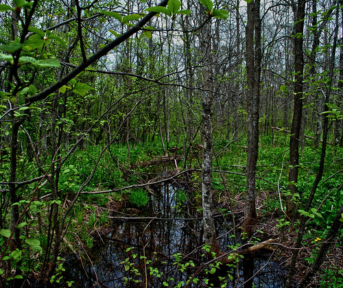
Bark Bay Slough State Natural Area
square slumber squareformat iphoneography instagramapp uploaded:by=instagram foursquare:venue=4bf6d5af5ec320a168d985d3
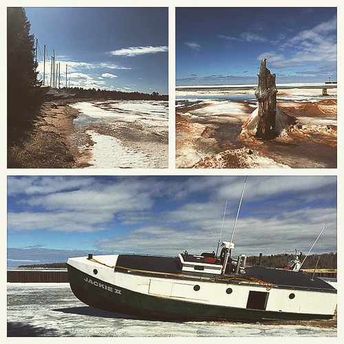
Beach day. Watched the Halvorson crew break out of the marina. #spring#cornucopia_wi
wisconsinstatenaturalarea
Lost Creek Bog State Natural Area
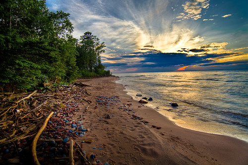
sunset beach wisconsin waves dusk lakesuperior herbster
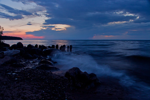
Herbster beach at dusk