Elevation of Leffingwell Dr, Orwell, OH, USA
Location: United States > Ohio > Ashtabula County > Orwell Township > Orwell >
Longitude: -80.864955
Latitude: 41.530435
Elevation: 275m / 902feet
Barometric Pressure: 98KPa
Elevation Map:
Satellite Map:
Related Photos:
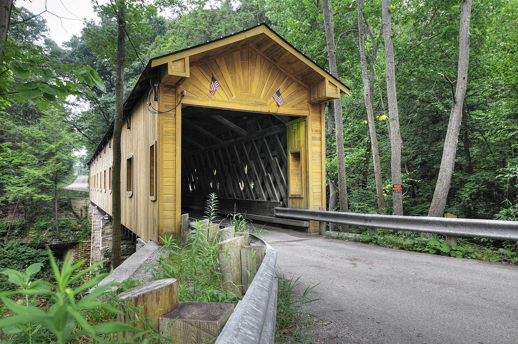
Windsor Mills Bridge

more Bill's Hybrids
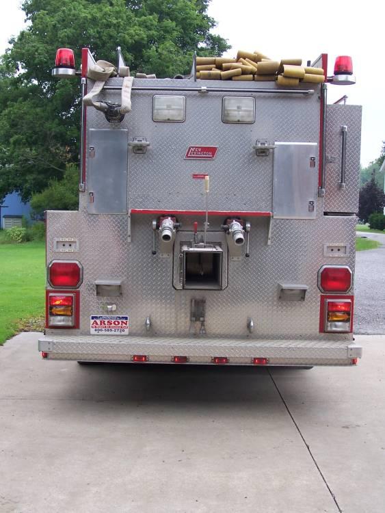
tanker 15 rear view

Bill's Hybrids...
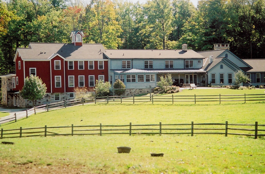
farm school, back view

Christmas colors
View Towards Rt 87

Bird's Eye View

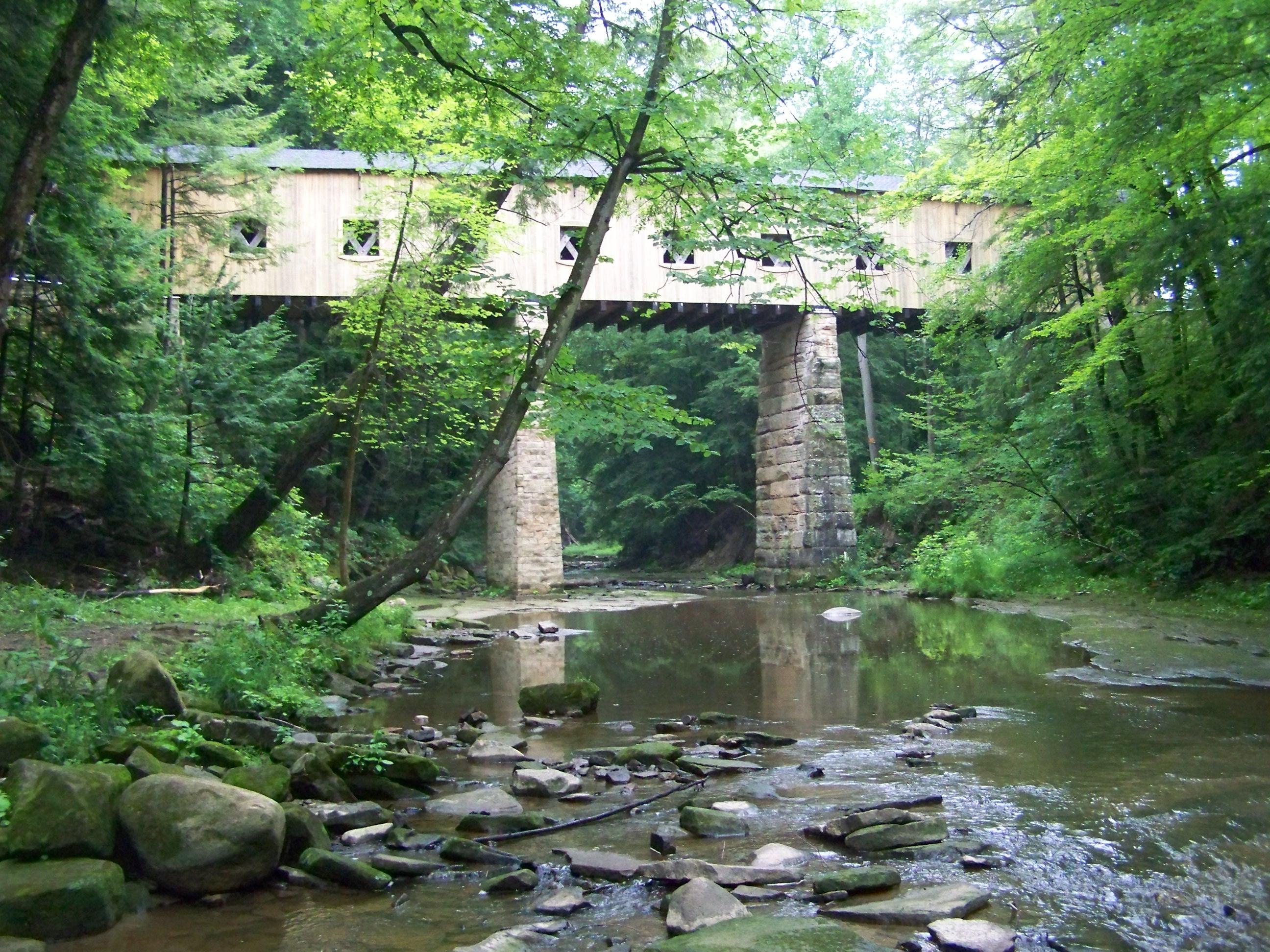
Windsor Mills Covered Bridge - Ashtabula County, Ohio.

Field of dreams...

Windsor Mills Bridge
Wiswell Road Covered Bridge- Windsor Mills OH (2)

Phelps Creek

norman's corn

Nature Preserve

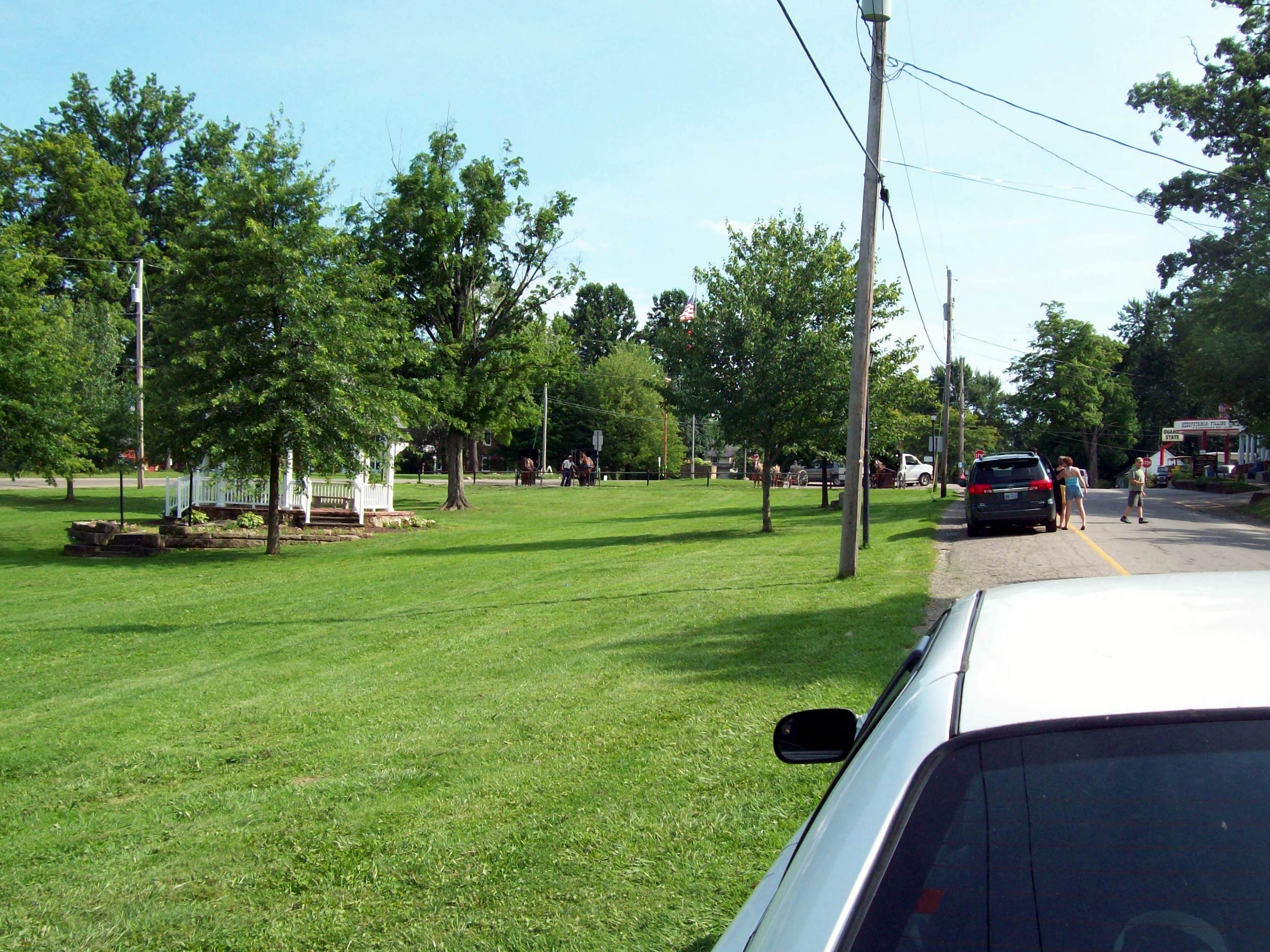
Mesopotamia, OH
Topographic Map of Leffingwell Dr, Orwell, OH, USA
Find elevation by address:

Places near Leffingwell Dr, Orwell, OH, USA:
120 Eddy Ct
116 Eddy Ct
Orwell
15 W Main St, Orwell, OH, USA
Orwell Township
Township Hwy, North Bloomfield, OH, USA
4462 Montgomery Rd
Rome Township
Windsor Township
Hartsgrove Township
4323 Oh-534
5085 Hyde Rd
Huntsburg Township
Huntsburg Township
Huntsburg Township
Huntsburg Township
Huntsburg Township
Huntsburg Township
Huntsburg Township
Huntsburg Township
Recent Searches:
- Elevation of Corso Fratelli Cairoli, 35, Macerata MC, Italy
- Elevation of Tallevast Rd, Sarasota, FL, USA
- Elevation of 4th St E, Sonoma, CA, USA
- Elevation of Black Hollow Rd, Pennsdale, PA, USA
- Elevation of Oakland Ave, Williamsport, PA, USA
- Elevation of Pedrógão Grande, Portugal
- Elevation of Klee Dr, Martinsburg, WV, USA
- Elevation of Via Roma, Pieranica CR, Italy
- Elevation of Tavkvetili Mountain, Georgia
- Elevation of Hartfords Bluff Cir, Mt Pleasant, SC, USA