Elevation of Leeds, AL, USA
Location: United States > Alabama > Jefferson County >
Longitude: -86.544428
Latitude: 33.5481597
Elevation: 191m / 627feet
Barometric Pressure: 99KPa
Elevation Map:
Satellite Map:
Related Photos:
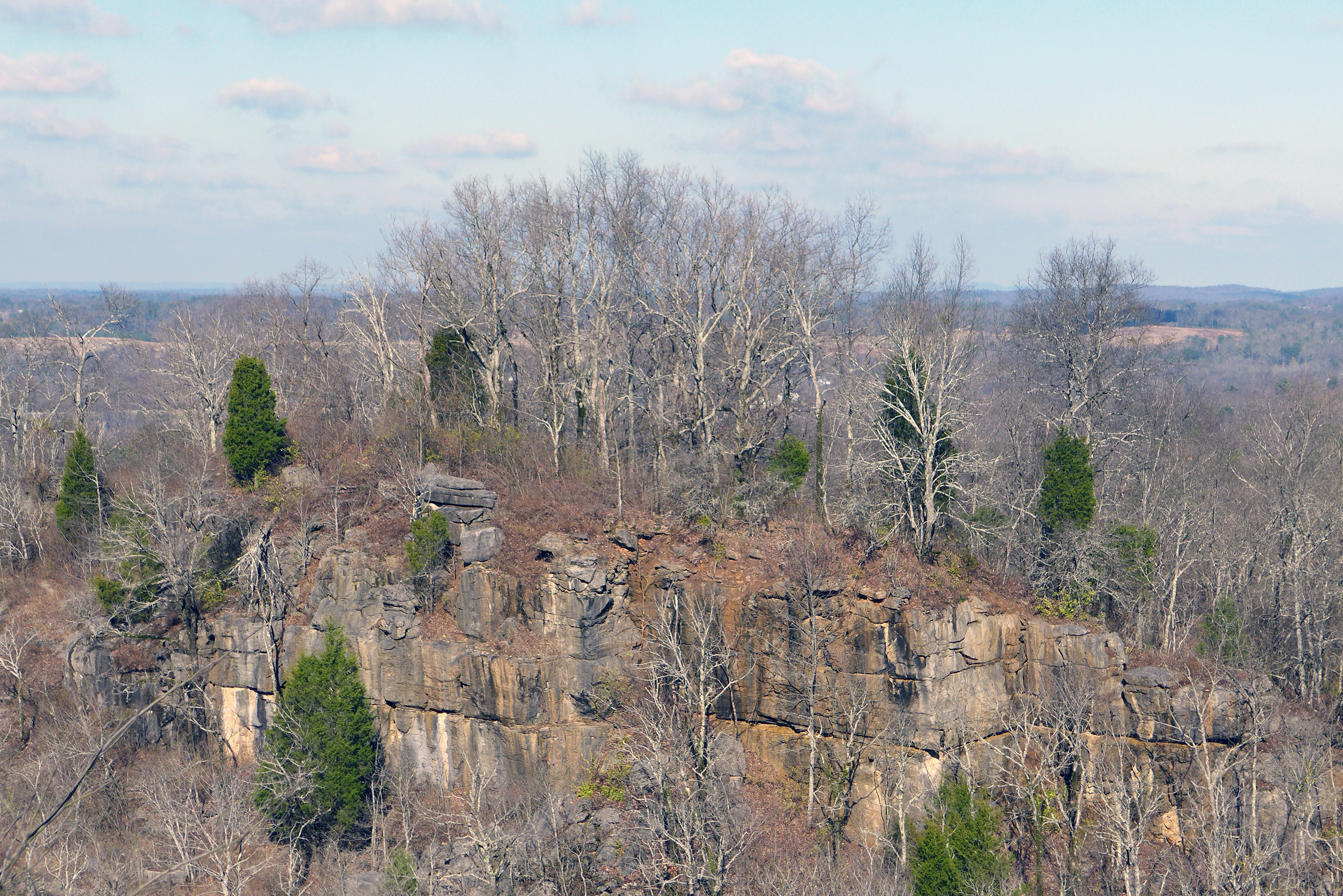
cambrian overlook
sandstone outcrop above
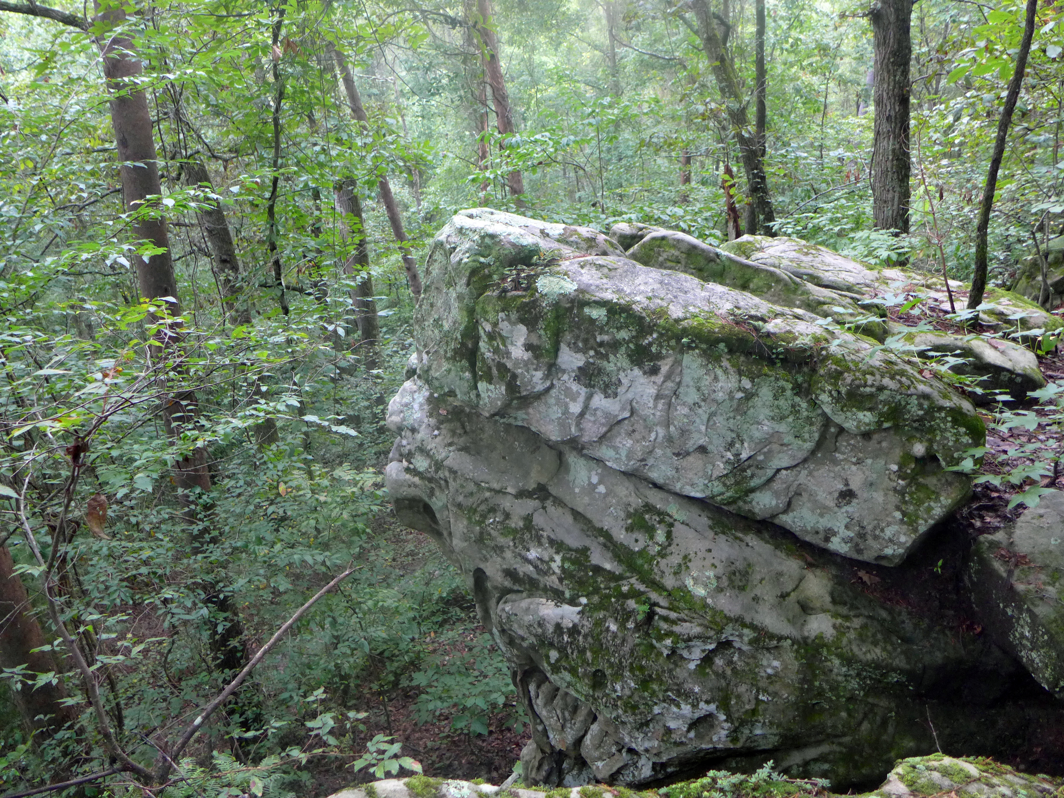
Not a bad view

29 Dreams
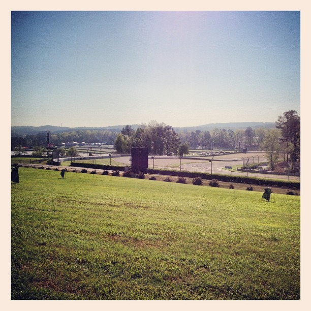
Views from up high
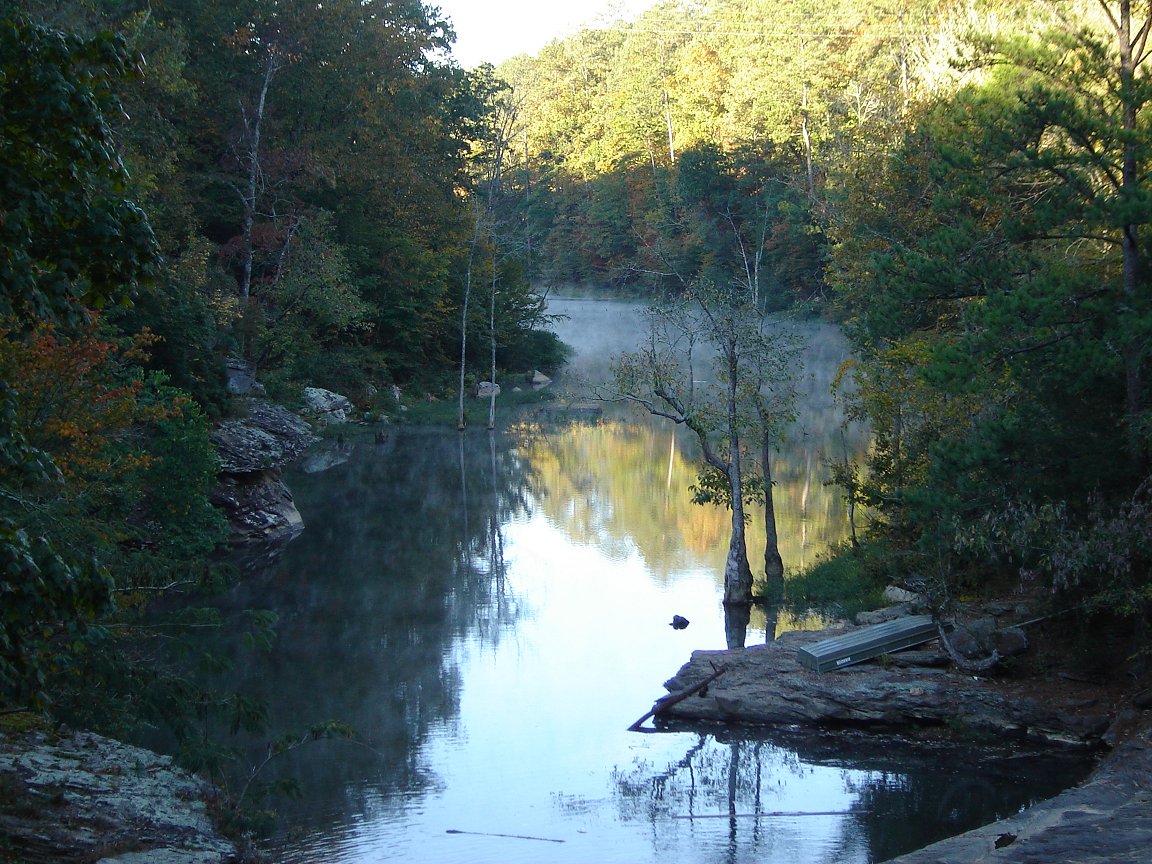
Cub Haunted
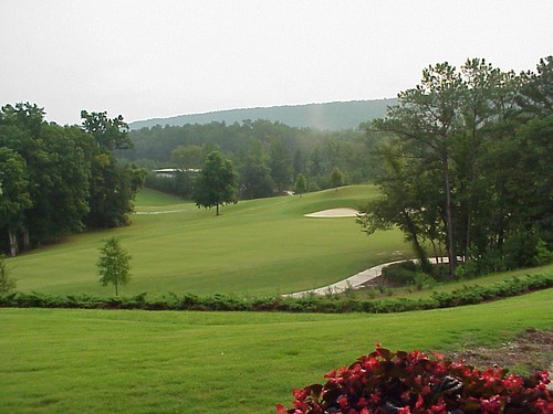
Greystone Legacy #6
Topographic Map of Leeds, AL, USA
Find elevation by address:

Places in Leeds, AL, USA:
Places near Leeds, AL, USA:
Cherry St SE, Leeds, AL, USA
Village Dr, Moody, AL, USA
Coosa Ave, Leeds, AL, USA
6542 Louise St Sw
2220 Montevallo Rd Sw
Floyd Bradford Rd, Trussville, AL, USA
2265 Mountain View Rd
Vandiver
AL-25, Vandiver, AL, USA
3448 Rock Ridge Cir
8160 Woodland Dr
Grants Mill Rd, Birmingham, AL, USA
5139 Woodland Dr
Grants Mill Rd, Birmingham, AL, USA
Overton
4230 Marden Way
Brownlee Rd, Irondale, AL, USA
Shoal Creek Golf Course
3863 Bainbridge Pl
324 Woodward Ct
Recent Searches:
- Elevation of Corso Fratelli Cairoli, 35, Macerata MC, Italy
- Elevation of Tallevast Rd, Sarasota, FL, USA
- Elevation of 4th St E, Sonoma, CA, USA
- Elevation of Black Hollow Rd, Pennsdale, PA, USA
- Elevation of Oakland Ave, Williamsport, PA, USA
- Elevation of Pedrógão Grande, Portugal
- Elevation of Klee Dr, Martinsburg, WV, USA
- Elevation of Via Roma, Pieranica CR, Italy
- Elevation of Tavkvetili Mountain, Georgia
- Elevation of Hartfords Bluff Cir, Mt Pleasant, SC, USA