Elevation of Lee Ave, Poplar Bluff, MO, USA
Location: United States > Missouri > Butler County > Poplar Bluff Township > Poplar Bluff >
Longitude: -90.348049
Latitude: 36.7737216
Elevation: 103m / 338feet
Barometric Pressure: 100KPa
Elevation Map:
Satellite Map:
Related Photos:

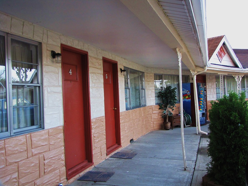
IMG_4380
IMG_4382

Missouri Sky 12-22-10

Backyard Deer

Butler County CH

Grand Marquis: fuel efficiency

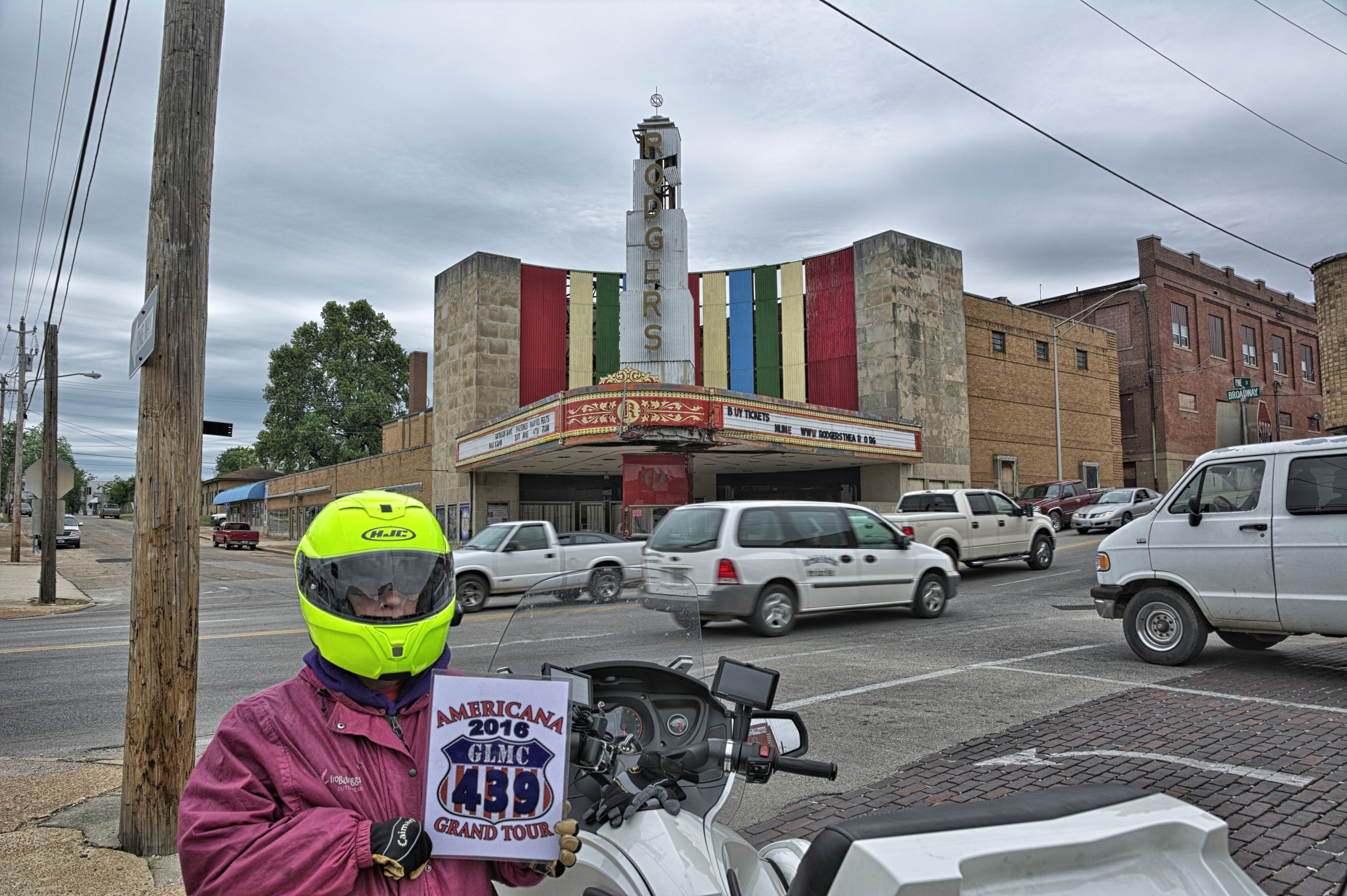
Rodgers theater

Rodgers Theater Art Deco

D71_3364 E

D71_3367 E

D71_3369 E

D71_3370 E
D71_3372 E
D71_3373 E
D71_3375 E

Samuel Moncier - New Calf.jpg

Austin,Roscoe & Sasha
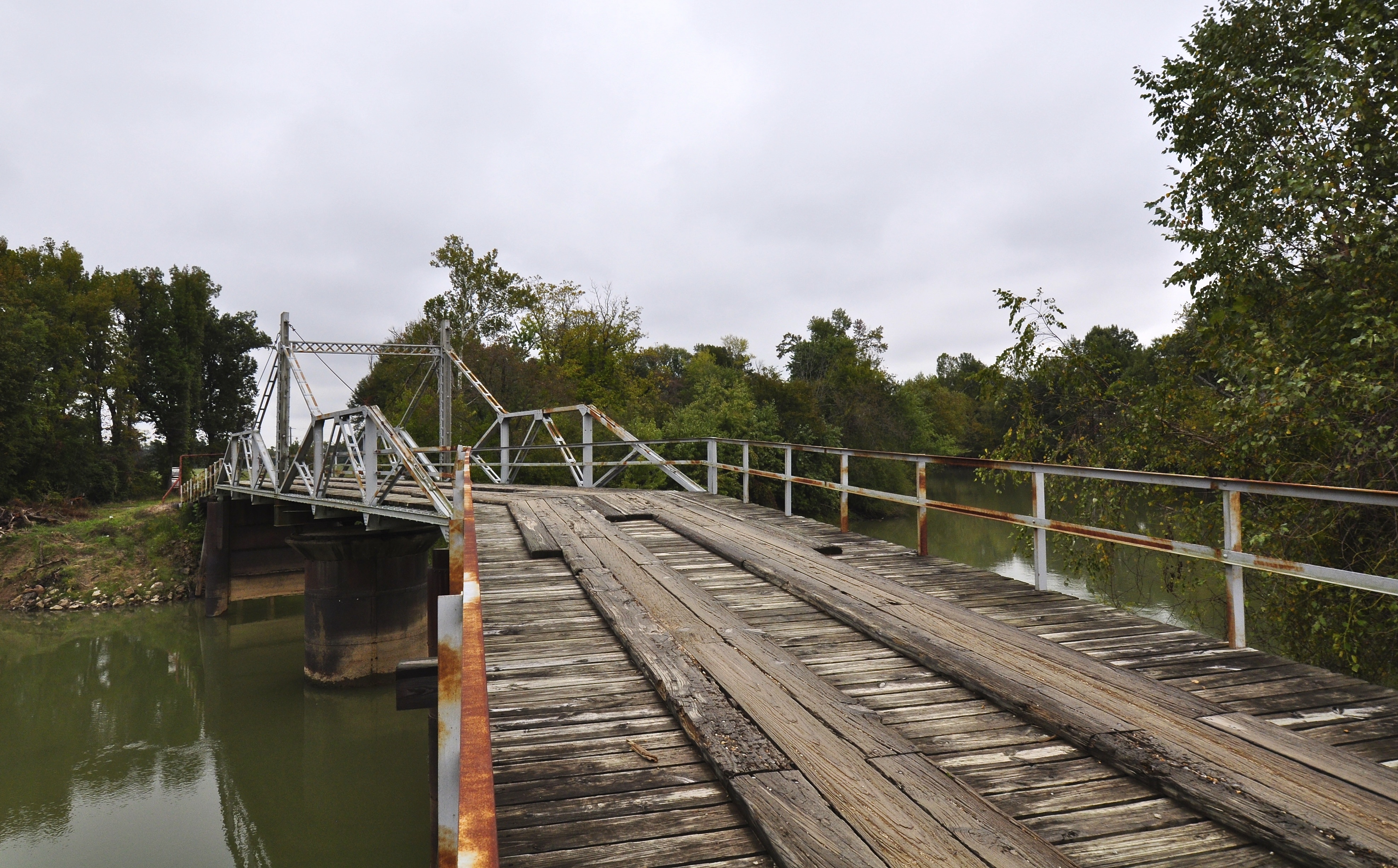
Hargrove Pivot Bridge

Theatetrical Decay

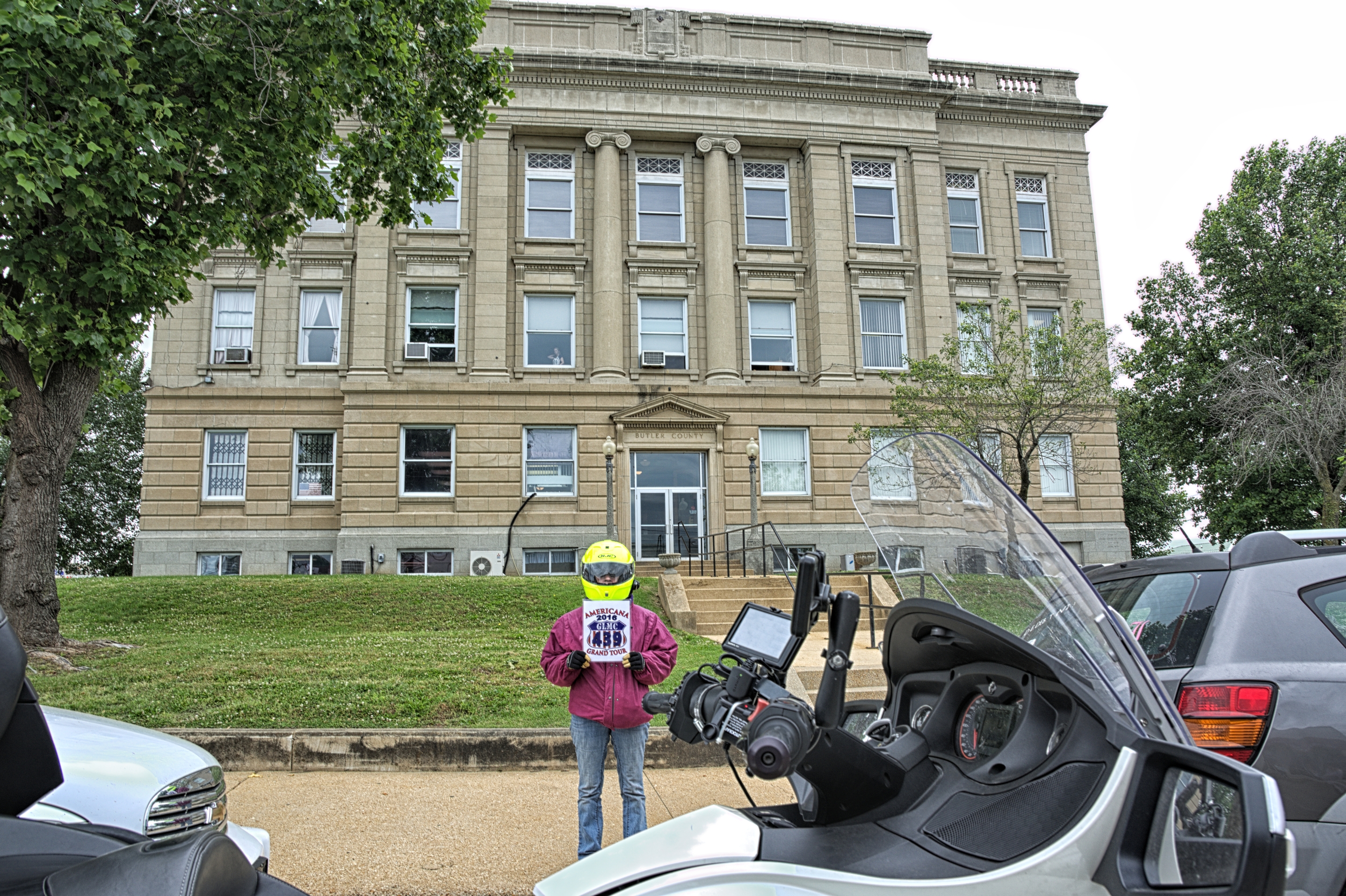
Butler County Courthouse
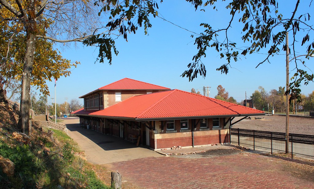
Poplar Bluff Train Station

Bank of Poplar Bluff

Scooter with power steering
Topographic Map of Lee Ave, Poplar Bluff, MO, USA
Find elevation by address:

Places near Lee Ave, Poplar Bluff, MO, USA:
State Hwy B, Broseley, MO, USA
Poplar Bluff
Wilson St, Poplar Bluff, MO, USA
600 Park Ave
600 Park Ave
Hampton Court
Poplar Bluff Township
Butler County
40 Co Rd 466
County Road 465
Kanell Blvd, Poplar Bluff, MO, USA
Township Line Rd, Poplar Bluff, MO, USA
1001 Co Rd 631
1001 Co Rd 631
1133 Co Rd 631
1133 Co Rd 631
1133 Co Rd 631
County Road 505
Mc Kinley Ave, Fisk, MO, USA
Fisk
Recent Searches:
- Elevation of Corso Fratelli Cairoli, 35, Macerata MC, Italy
- Elevation of Tallevast Rd, Sarasota, FL, USA
- Elevation of 4th St E, Sonoma, CA, USA
- Elevation of Black Hollow Rd, Pennsdale, PA, USA
- Elevation of Oakland Ave, Williamsport, PA, USA
- Elevation of Pedrógão Grande, Portugal
- Elevation of Klee Dr, Martinsburg, WV, USA
- Elevation of Via Roma, Pieranica CR, Italy
- Elevation of Tavkvetili Mountain, Georgia
- Elevation of Hartfords Bluff Cir, Mt Pleasant, SC, USA