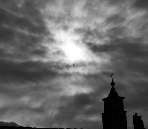
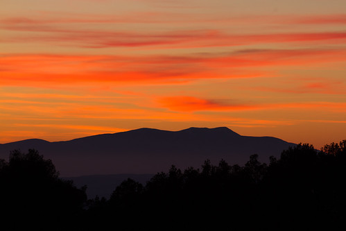
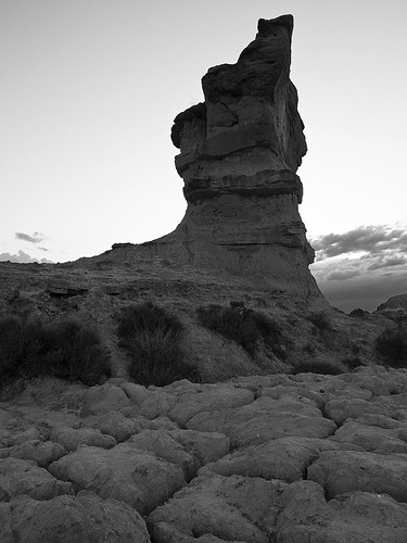
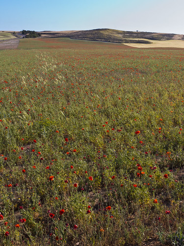
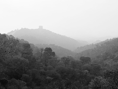
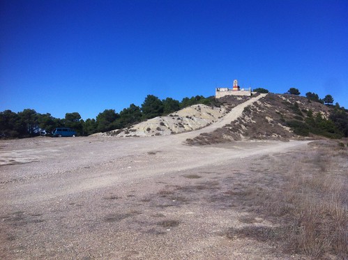
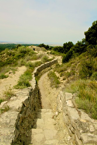
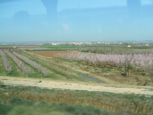
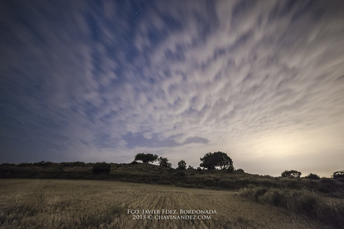
Elevation of Leciñena, Zaragoza, Spain
Location: Spain > Aragon > Zaragoza >
Longitude: -0.612127
Latitude: 41.797573
Elevation: 411m / 1348feet
Barometric Pressure: 96KPa
Related Photos:
Topographic Map of Leciñena, Zaragoza, Spain
Find elevation by address:

Places in Leciñena, Zaragoza, Spain:
Places near Leciñena, Zaragoza, Spain:
Plaza el Llano, 1, Leciñena, Zaragoza, Spain
Farlete
Estadio San Blas
Alcubierre
Diseminado Eras Bajas, 4, Farlete, Zaragoza, Spain
Robres
A-, Villamayor de Gállego, Zaragoza, Spain
Zuera
Calle Francia, 19, Zuera, Zaragoza, Spain
Villamayor De Gállego
Polígono el Saco, 19, Alfajarín, Zaragoza, Spain
San Jorge
Alfajarín
Villanueva De Gállego
Campo De Fútbol Enrique Porta
Almudévar
Plaza el Caudillo, 1, Valsalada, Huesca, Spain
Valsalada
El Burgo De Ebro
Almudévar
Recent Searches:
- Elevation of Corso Fratelli Cairoli, 35, Macerata MC, Italy
- Elevation of Tallevast Rd, Sarasota, FL, USA
- Elevation of 4th St E, Sonoma, CA, USA
- Elevation of Black Hollow Rd, Pennsdale, PA, USA
- Elevation of Oakland Ave, Williamsport, PA, USA
- Elevation of Pedrógão Grande, Portugal
- Elevation of Klee Dr, Martinsburg, WV, USA
- Elevation of Via Roma, Pieranica CR, Italy
- Elevation of Tavkvetili Mountain, Georgia
- Elevation of Hartfords Bluff Cir, Mt Pleasant, SC, USA
