Elevation of Leatherwood Road, Leatherwood Rd, Dover, TN, USA
Location: United States > Tennessee > Stewart County > Dover >
Longitude: -87.843976
Latitude: 36.4724282
Elevation: 130m / 427feet
Barometric Pressure: 100KPa
Elevation Map:
Satellite Map:
Related Photos:

Stewart County, TN Courthouse - Dover, TN

Fowl-set...
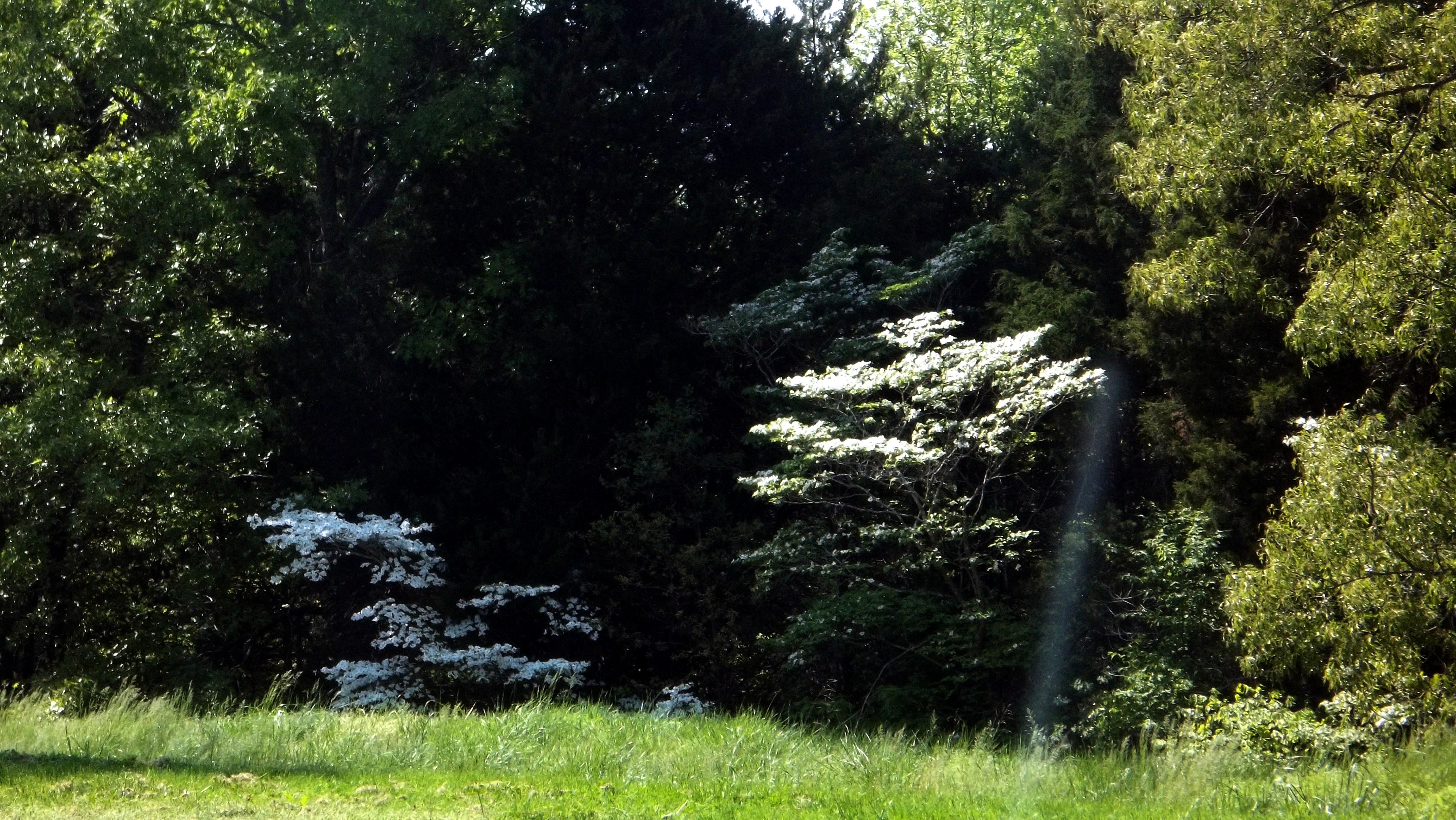
The Forest's Edge

Blue Glory
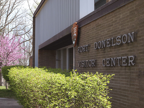
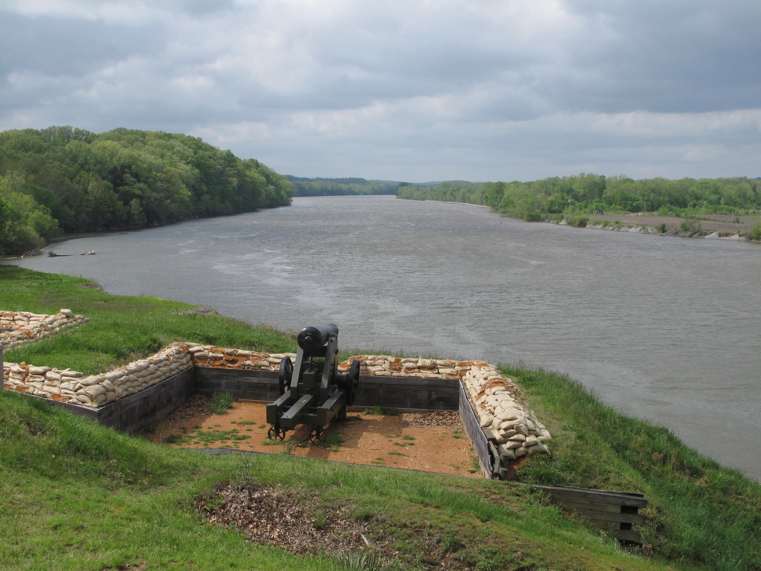
Ft. Donelson National Battlefield - Dover, Tennessee

Lower Battery

Fort Donelson 400

Upper Battery

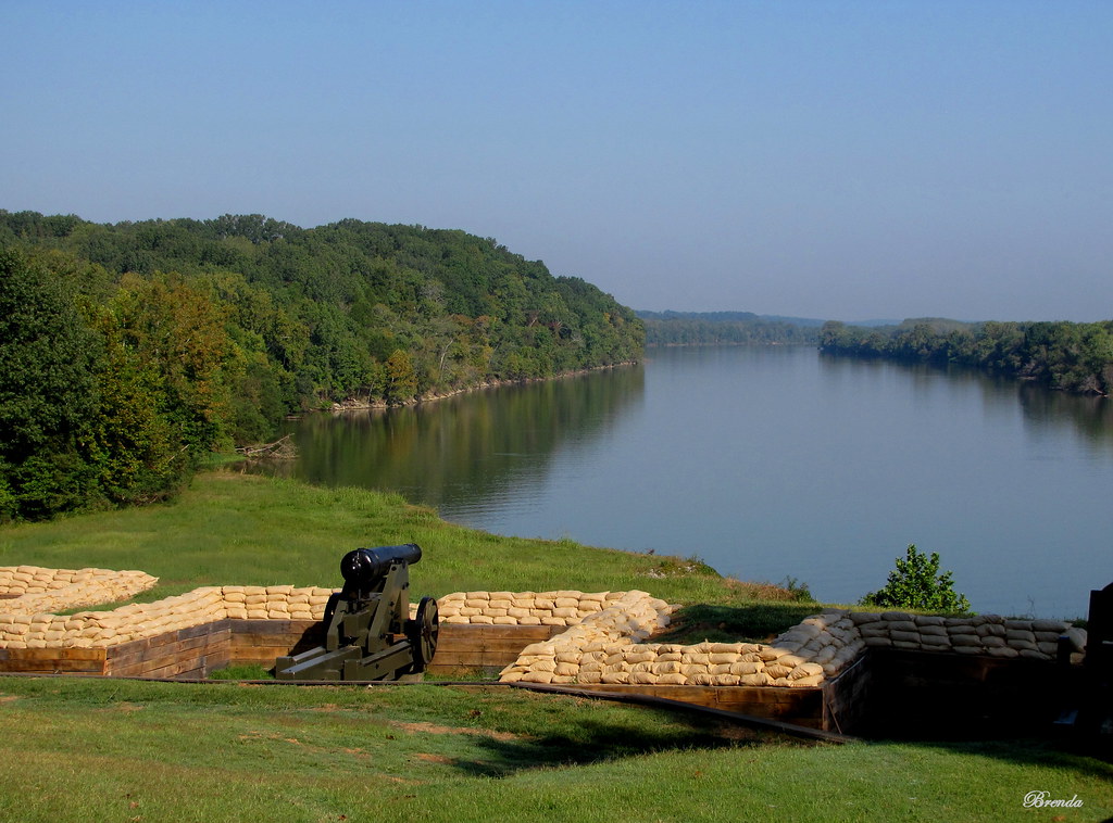
Lower Battery
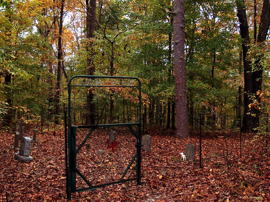
Lone Pine Cemetary - Land Between the Lakes National Recreation Area, Stewart County, Tennessee
So Lost, Lost Within Ourselves

Seeds of spring
Elizabeth Lane - Cumberland River, Stewart County, Tennessee
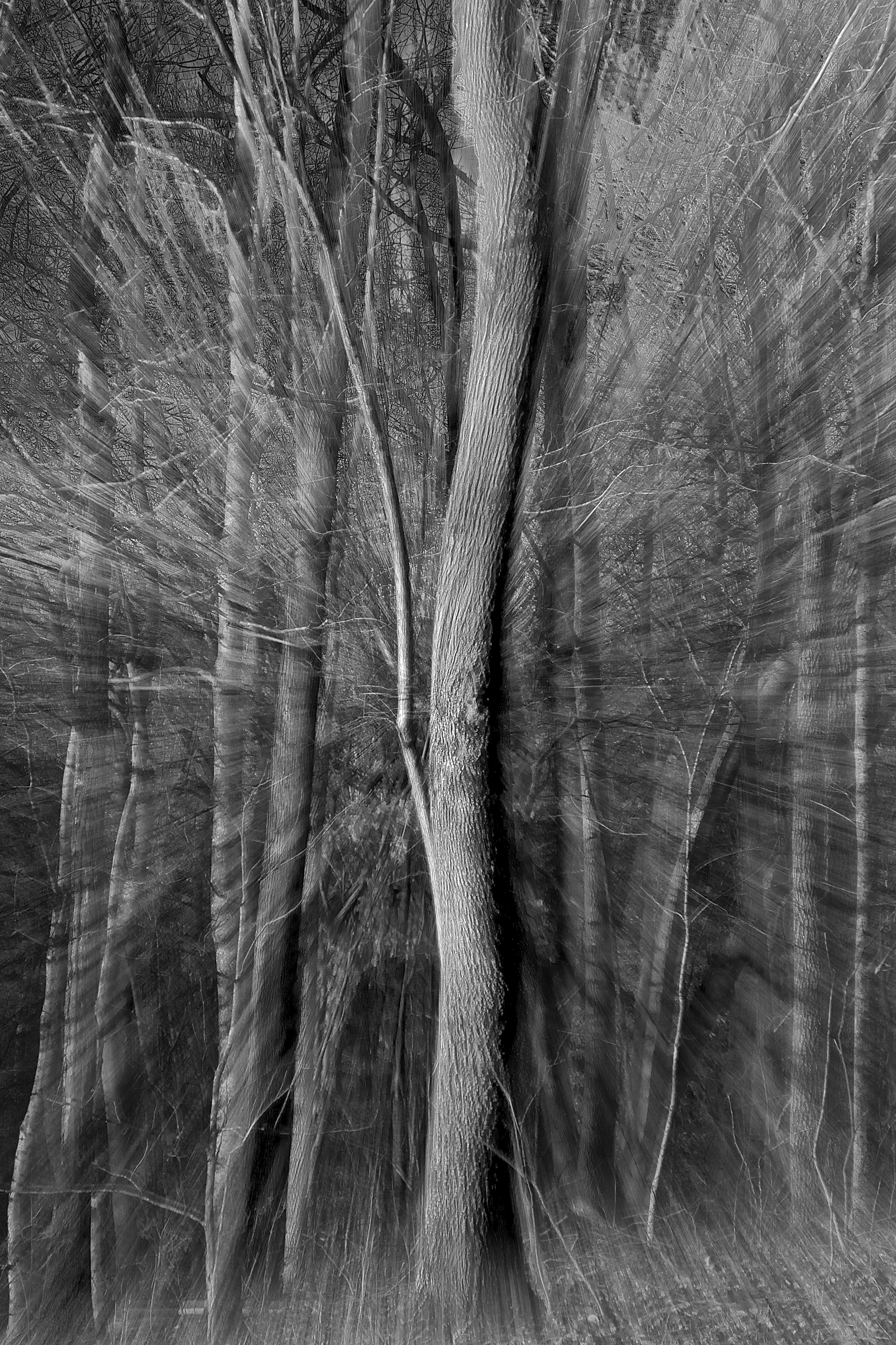
Tree Portal

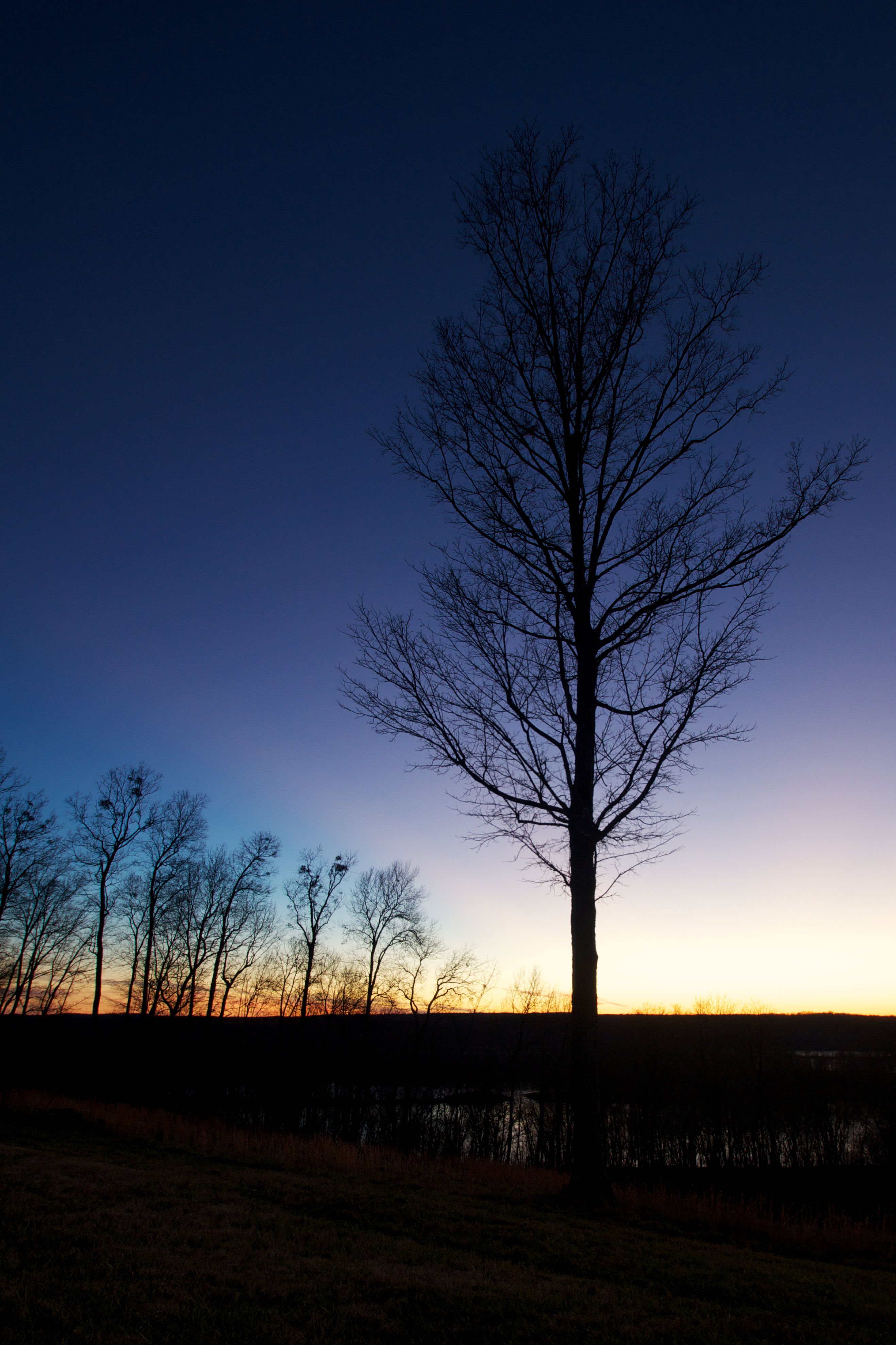
Twilight descends...
Fort Donelson National Battlefield, Stewart County (Tenn.), 24 April 2013

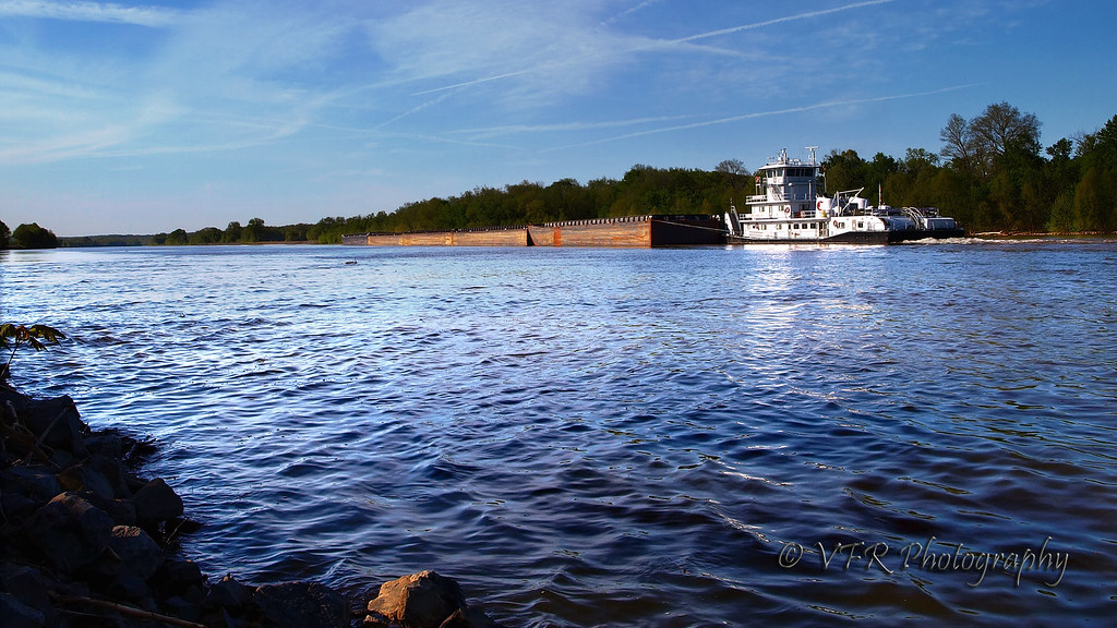
Early Morning on the River
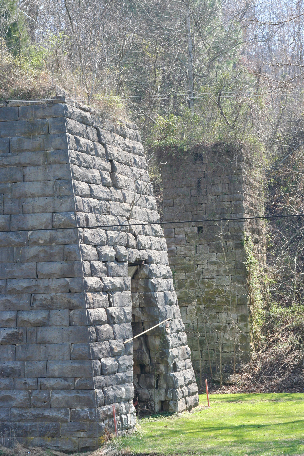
Bear Spring Furnace - 6
Ft. Donalson

17-342

FORT DONELSON CIVIL WAR BATTLEGROUND DOVER TN (43)
Tennessee Sunset

Fort Donelson 353

17-350
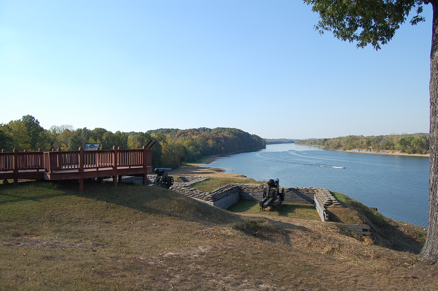
Lower River Battery
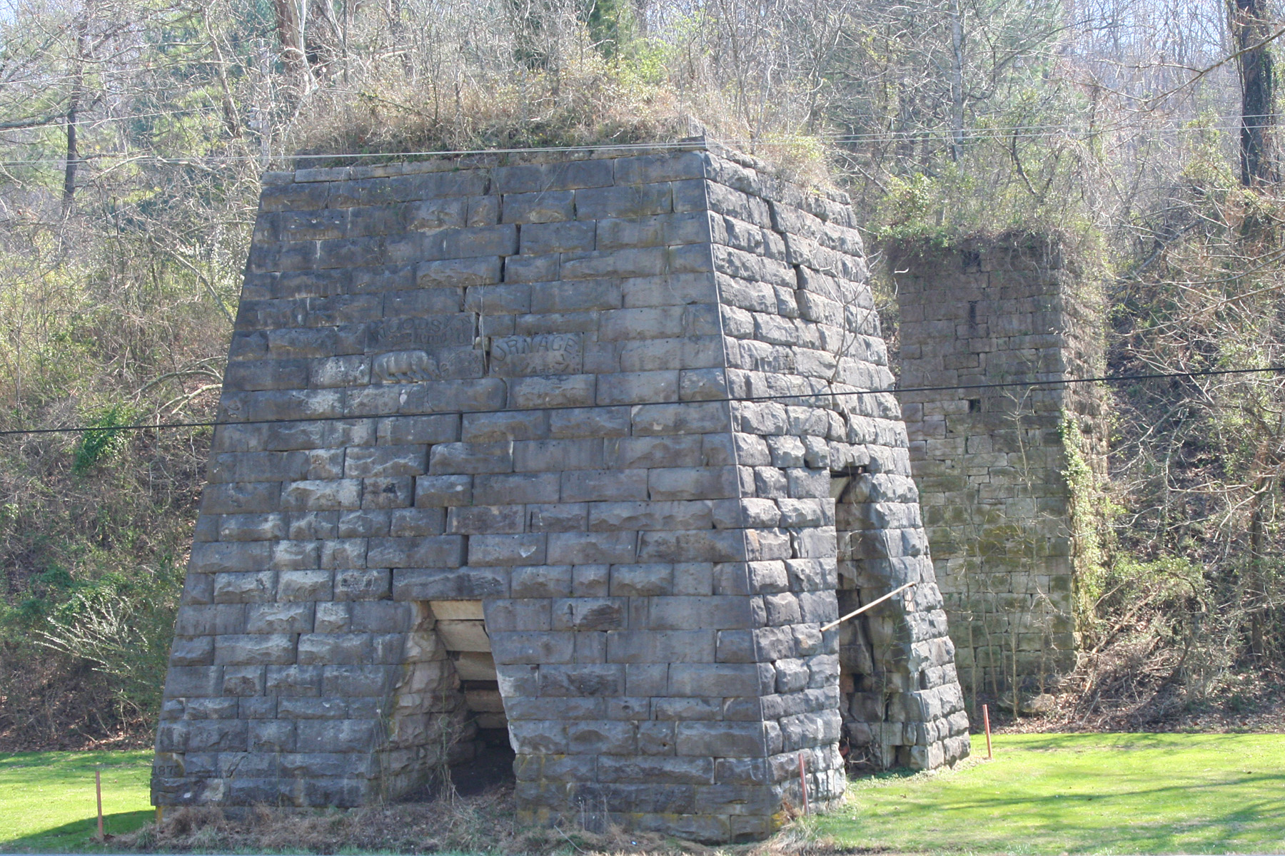
Bear Spring Furnace - 7
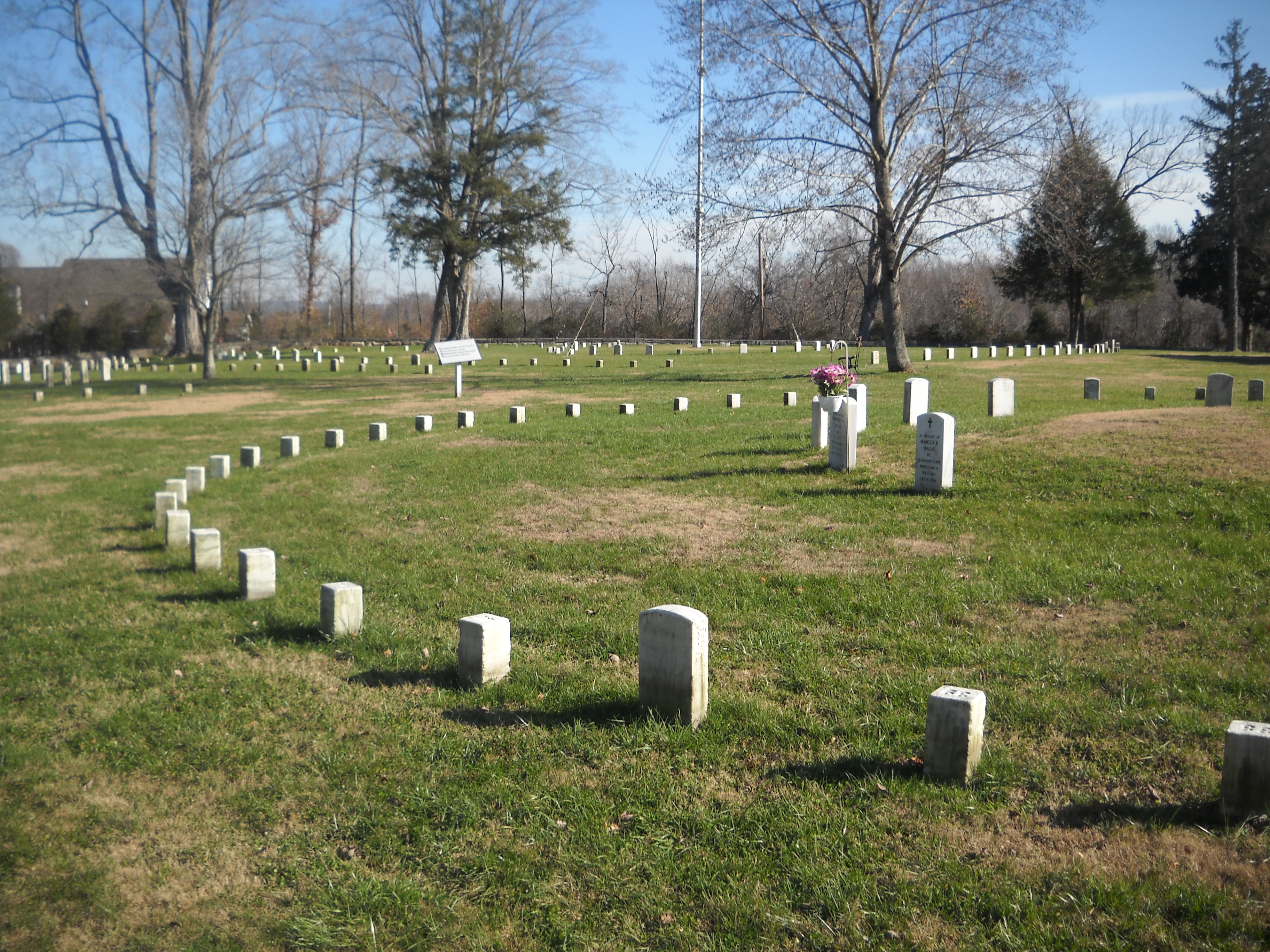
Fort Donelson National Cemetery
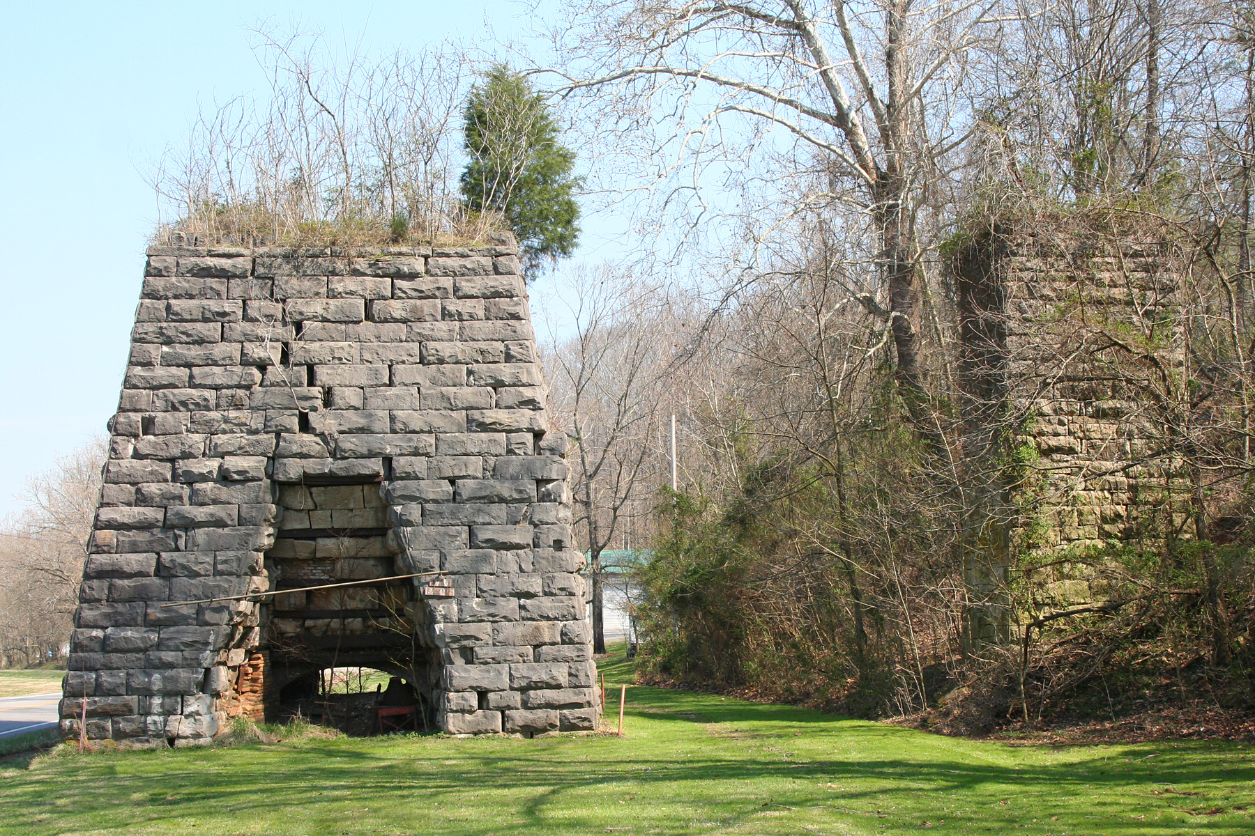
Bear Spring Furnace - 4

Bear Spring Furnace - 3
Topographic Map of Leatherwood Road, Leatherwood Rd, Dover, TN, USA
Find elevation by address:

Places near Leatherwood Road, Leatherwood Rd, Dover, TN, USA:
Dover
Sunset Motor Inn
741 Bumpus Mills Rd
191 Winding Way Rd
Stewart County
834 Upper Standing Rock Rd
TN-49, Dover, TN, USA
3122 Old Stewart Rd
Stewart
Indian Mound
1255 Old Stewart Rd
356 Honey Fork Rd
1175 Old Stewart Rd
927 Tn-49
355 Stevenson Cir
Tennessee Ridge
1649 N Main St
1967 Mobley Ln
1255 N Main St
11777 Tn-147
Recent Searches:
- Elevation of Corso Fratelli Cairoli, 35, Macerata MC, Italy
- Elevation of Tallevast Rd, Sarasota, FL, USA
- Elevation of 4th St E, Sonoma, CA, USA
- Elevation of Black Hollow Rd, Pennsdale, PA, USA
- Elevation of Oakland Ave, Williamsport, PA, USA
- Elevation of Pedrógão Grande, Portugal
- Elevation of Klee Dr, Martinsburg, WV, USA
- Elevation of Via Roma, Pieranica CR, Italy
- Elevation of Tavkvetili Mountain, Georgia
- Elevation of Hartfords Bluff Cir, Mt Pleasant, SC, USA