Elevation of Leadmine Rd, White Pine, TN, USA
Location: United States > Tennessee > Jefferson County > White Pine >
Longitude: -83.29668
Latitude: 36.064305
Elevation: 326m / 1070feet
Barometric Pressure: 97KPa
Elevation Map:
Satellite Map:
Related Photos:

Family Inn Sign Newport, TN 1
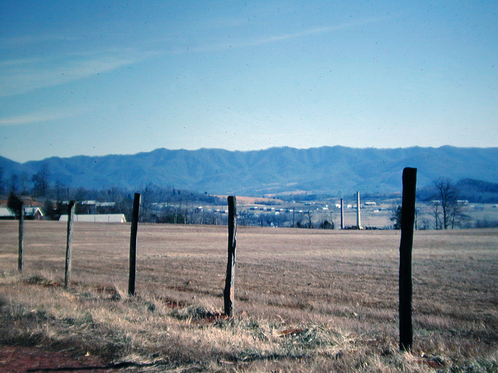
View at Newport, Tennessee, 1968

Dandridge Levee
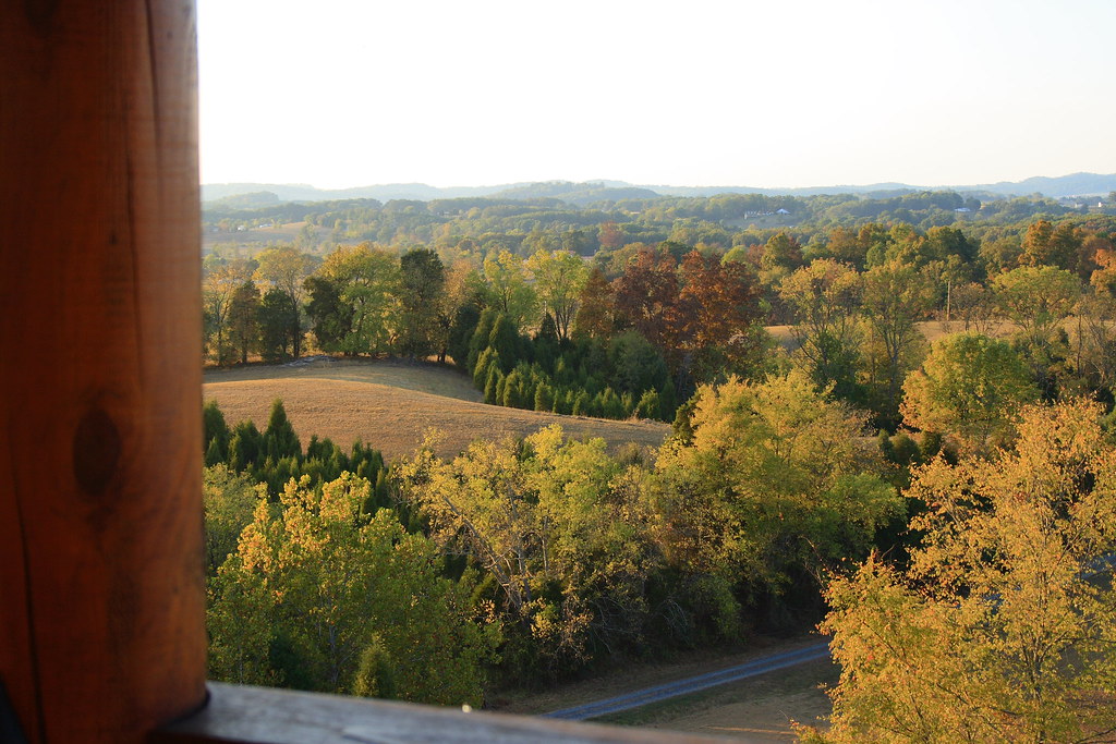
View from the cabin 1

View from the cabin 2

Jefferson County, TN Courthouse - Dandridge, TN

Cocke County, TN Courthouse - Newport, TN

The View

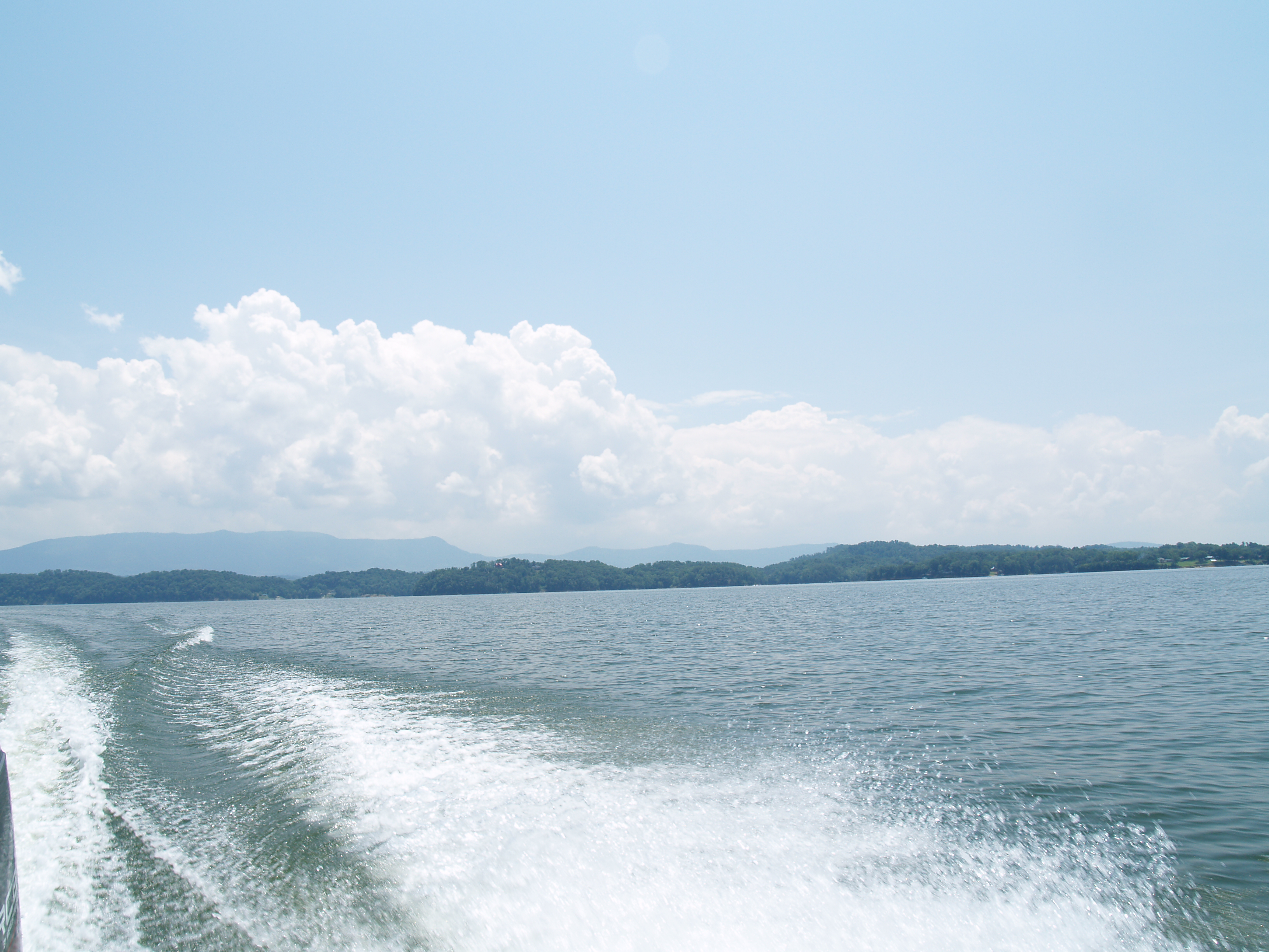
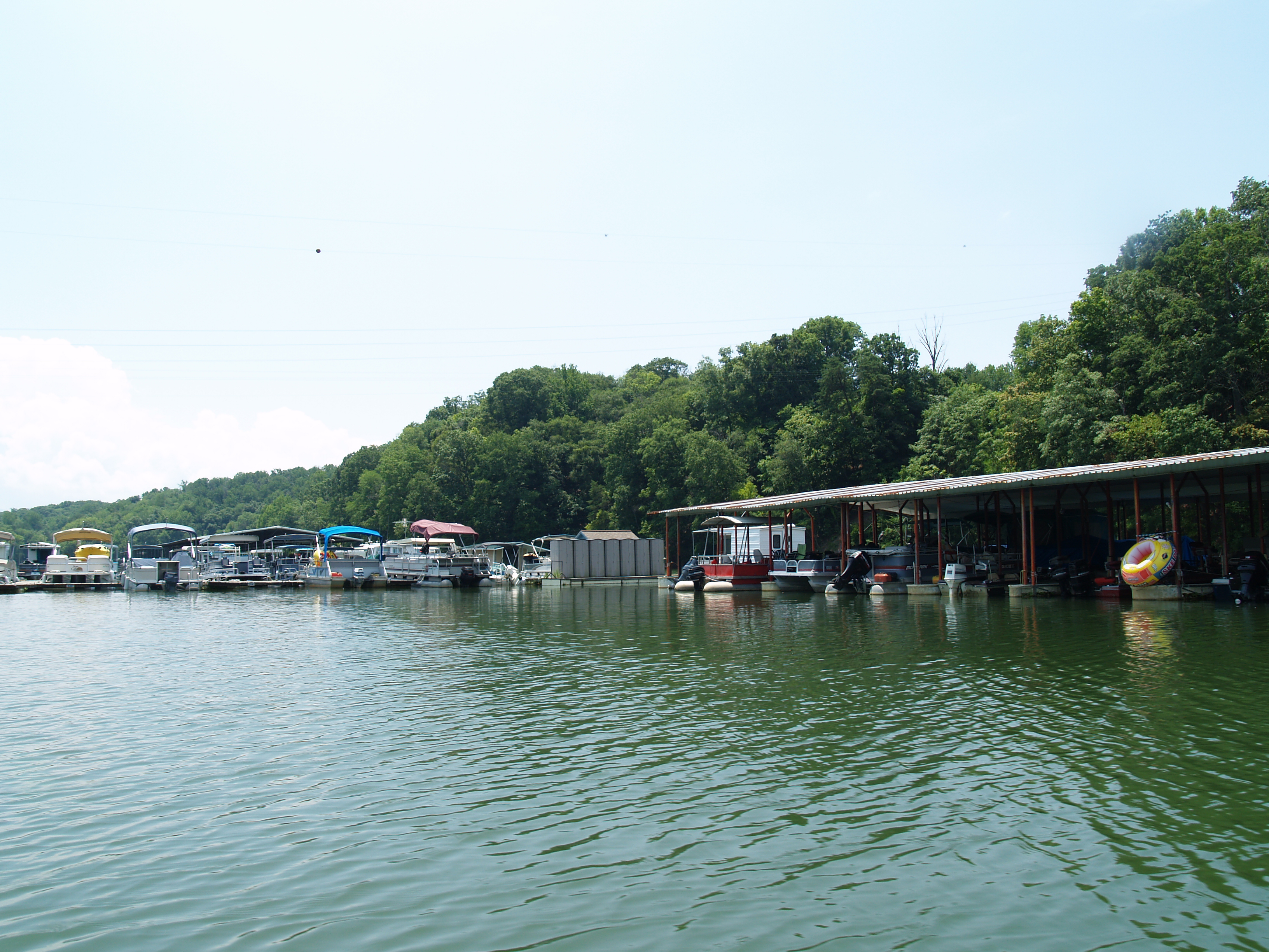
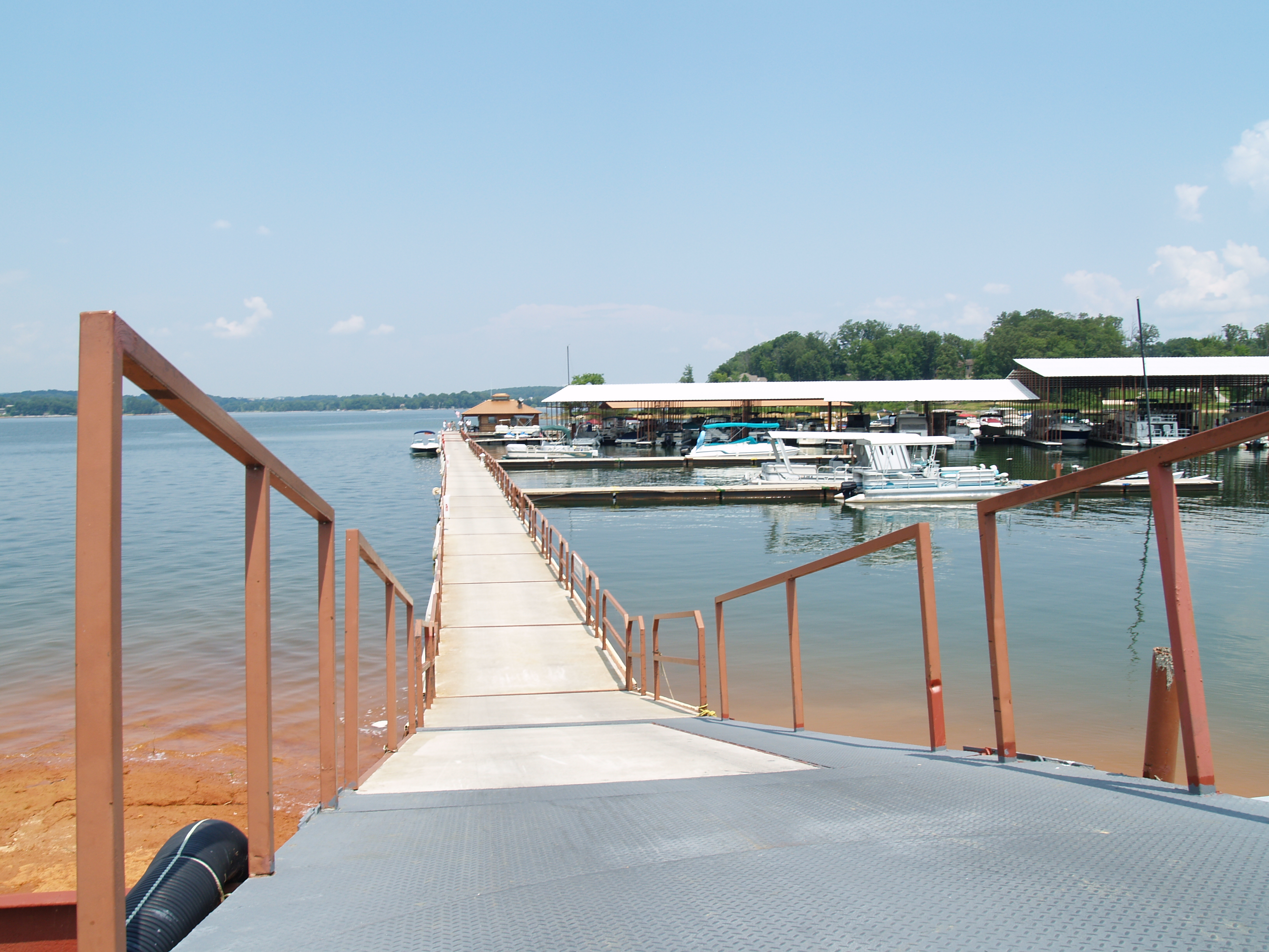
Douglas Lake and dike

#FrenchBroadRiver #cr_england #PaidToSightsee #myday #truckdriving #teamlife

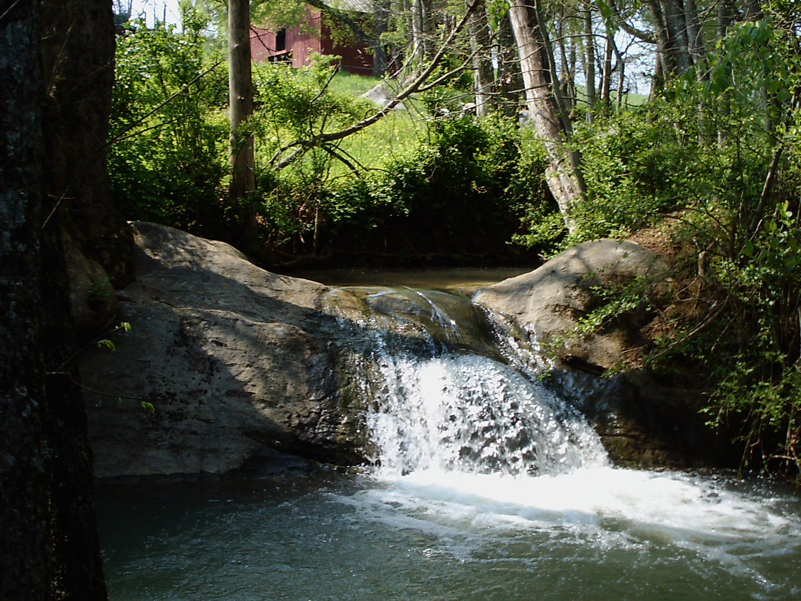
woods(022)

P1000448_HDR-16-25.jpg
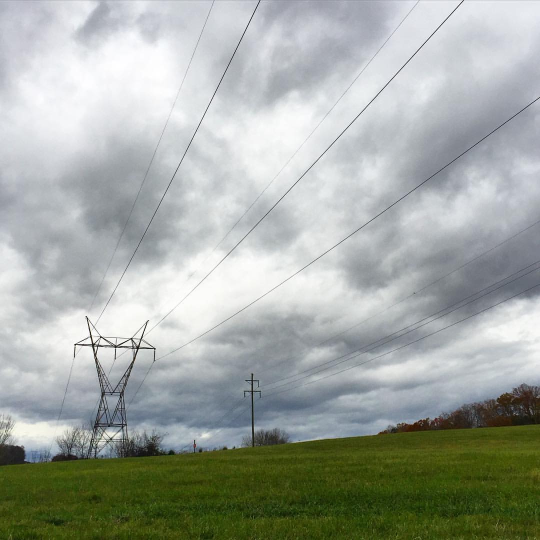
#stormyweather #clouds_of_our_world #cloudscape #fallweather

Douglas Lake at Dandridge
IMG_9359.JPG

P1000478.jpg
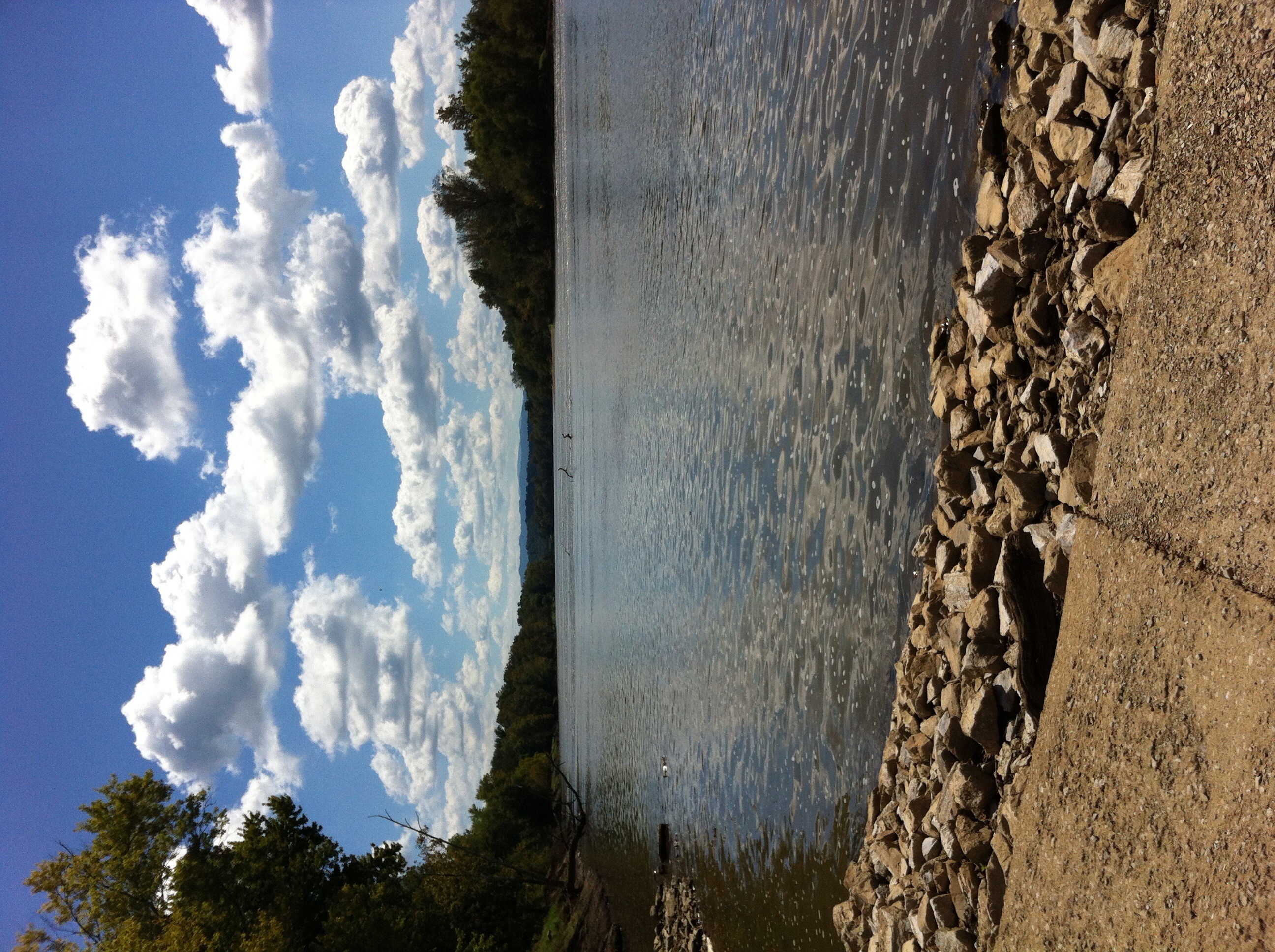
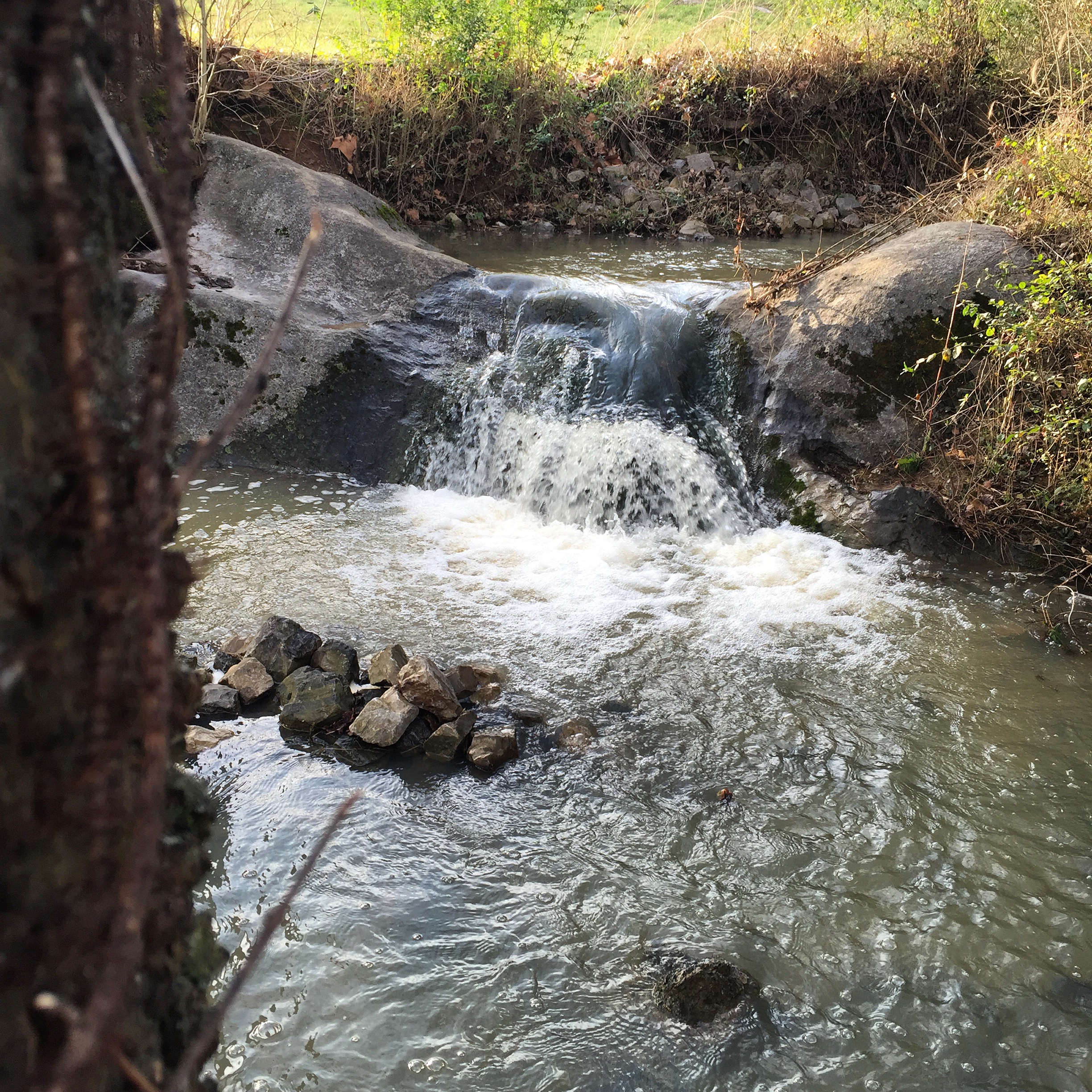
French Broad River
P1011997.JPG

Dandridge, Tennessee

DSC03721.JPG
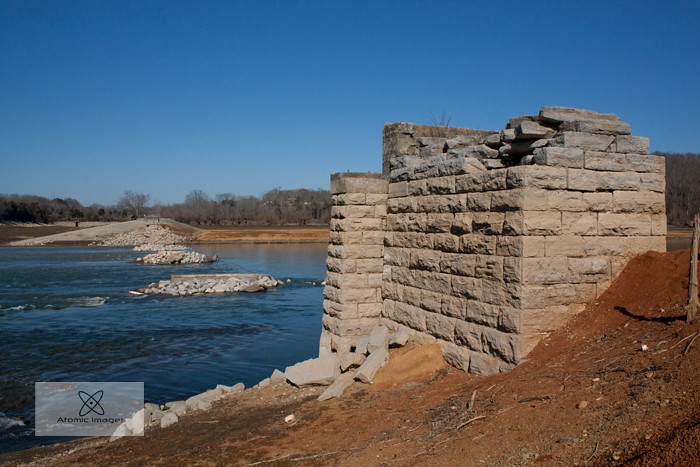
A Forgotten Bridge
Field of Dreams

DSC03720.JPG
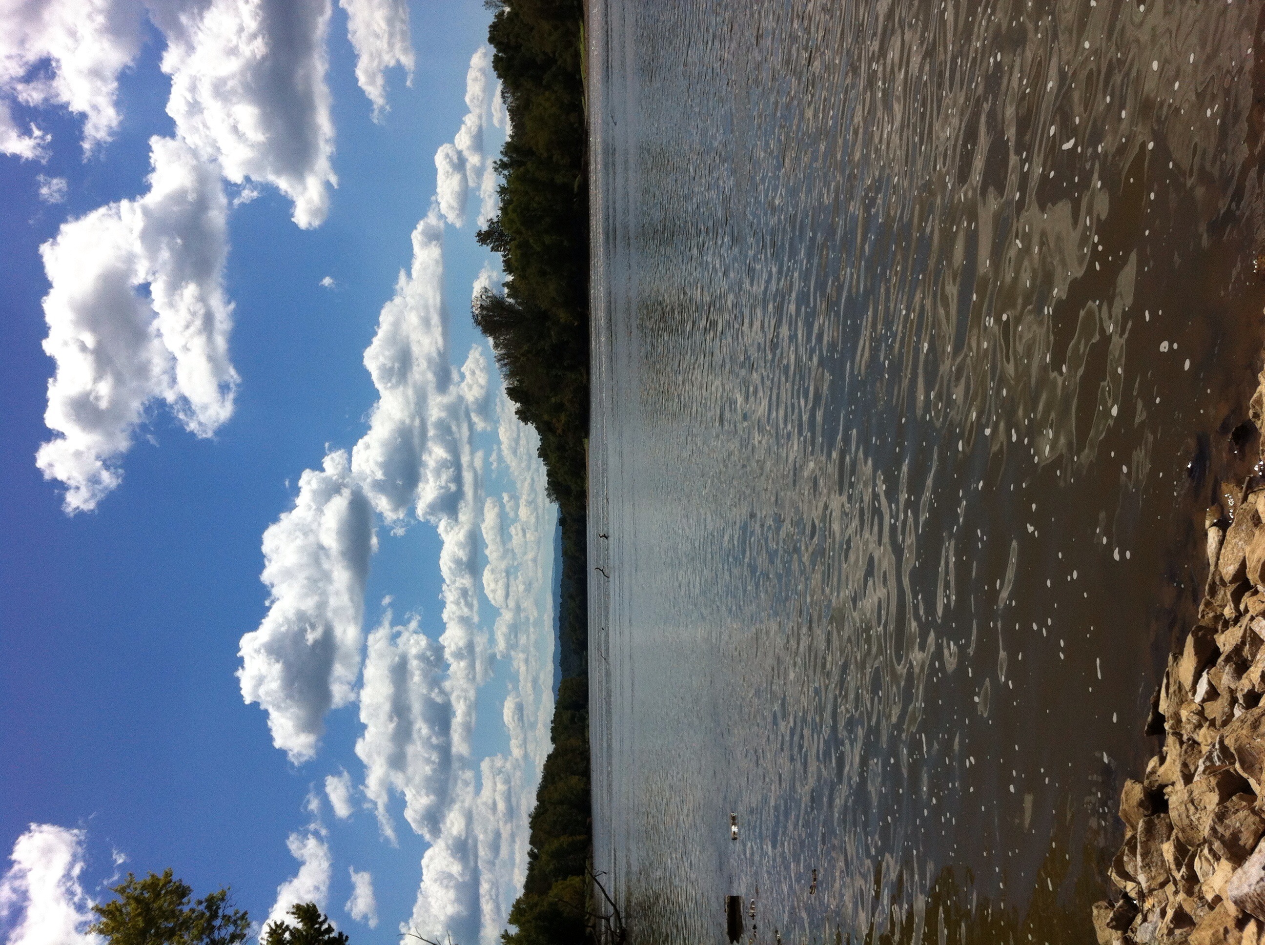
French Broad River
P1011983.JPG
P1011929.JPG

Lake Douglas Sunset
Topographic Map of Leadmine Rd, White Pine, TN, USA
Find elevation by address:

Places near Leadmine Rd, White Pine, TN, USA:
Nina Road
Nina Road
3362 Nina Rd
3145 Old Airport Rd
925 Hwy 25 32
White Pine
White Birch Road
Leepers Ferry Rd, White Pine, TN, USA
1437 Hill Rd
Rankin Hill Rd, Newport, TN, USA
5032 S Davy Crockett Pkwy
5712 Fishing Rod Ln
Spencer Hale Road
3218 Duck Way
2 Shaver Rd
3801 Point Pleasant Rd
3801 Point Pleasant Rd
3801 Point Pleasant Rd
3801 Point Pleasant Rd
3801 Point Pleasant Rd
Recent Searches:
- Elevation of Corso Fratelli Cairoli, 35, Macerata MC, Italy
- Elevation of Tallevast Rd, Sarasota, FL, USA
- Elevation of 4th St E, Sonoma, CA, USA
- Elevation of Black Hollow Rd, Pennsdale, PA, USA
- Elevation of Oakland Ave, Williamsport, PA, USA
- Elevation of Pedrógão Grande, Portugal
- Elevation of Klee Dr, Martinsburg, WV, USA
- Elevation of Via Roma, Pieranica CR, Italy
- Elevation of Tavkvetili Mountain, Georgia
- Elevation of Hartfords Bluff Cir, Mt Pleasant, SC, USA