Elevation of Le Huret, St Anne, Guernsey GY9, Guernsey

Location: Guernsey > Alderney > Saint Anne >

Longitude: -2.2071016

Latitude: 49.7131045

Elevation: 72m / 236feet

Barometric Pressure: 100KPa

Elevation Map:

elevation map of Le Huret, St Anne, Guernsey GY9, Guernsey

Satellite Map:

Satellite map of Le Huret, St Anne, Guernsey GY9, Guernsey

Related Photos:

sea water island harbour alderney channelislands braye douglasquay brayebeach
Douglas Quay, Alderney
cliff water geotagged rocks fort alderney englishchannel causeway clonque coastuk geo:lat=49709215 geo:lon=2232242
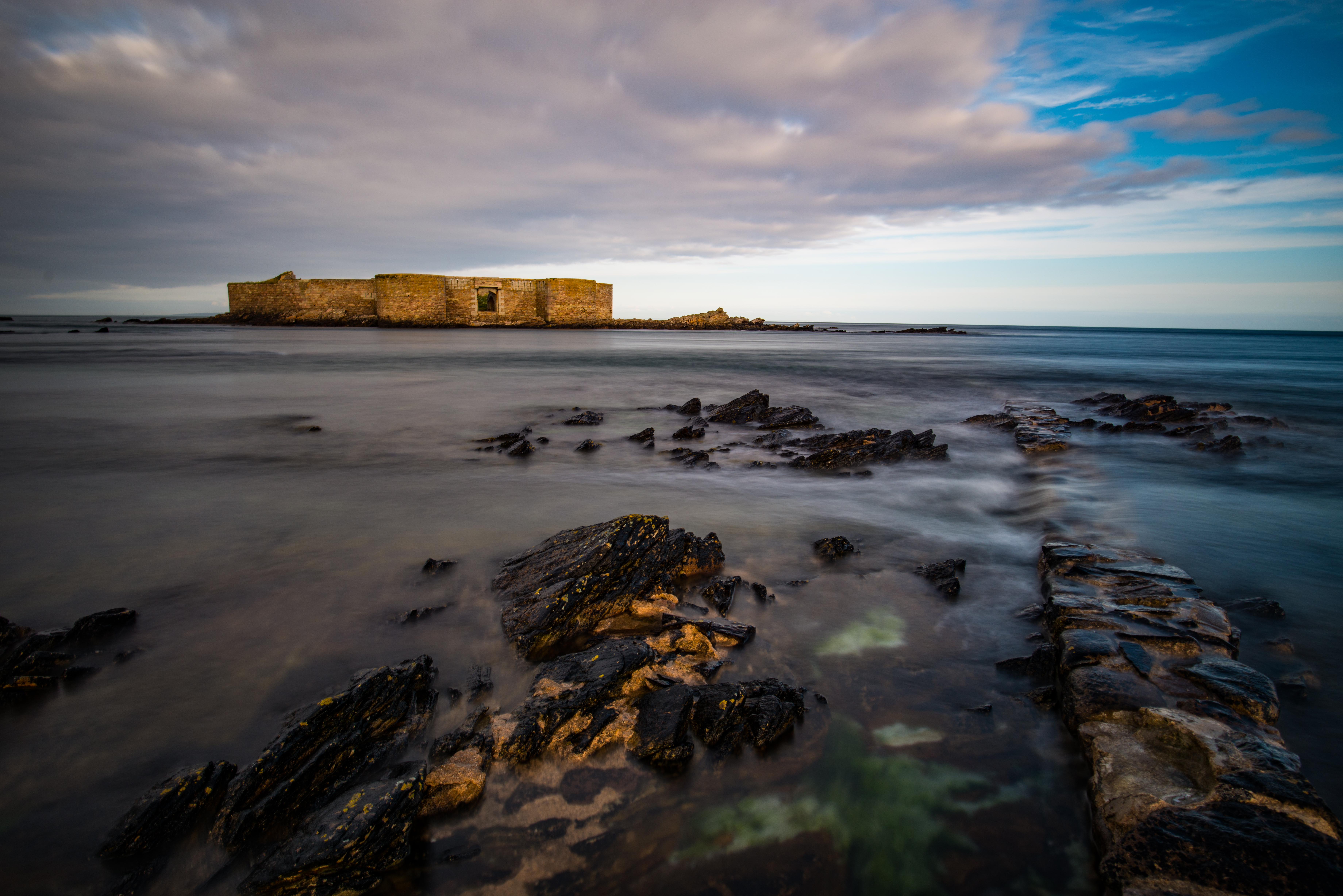
The Rocky Outcrop That is Fort Clonque
ocean uk sea sky water clouds island coast sand fort outdoor shoreline shore fortification alderney channelislands fortalbert
Braye Bay, Alderney
old autumn sea white holiday seascape cold castle beach water st clouds race out photography james islands bay movement skies moody looking view fort tide leeds victorian landmark richard trust british annes alderney guernsey channel currents clonque hannane swinge
Fort Clonque
window airplane geotagged island flying cockpit aeroplane alderney trislander geo:lat=49707775 geo:lon=2255004 gettyimagesuklocation
Long Final with a crosswind - Alderney
seascape water birds rocks waves alderney gannets cliffscoastlandscape
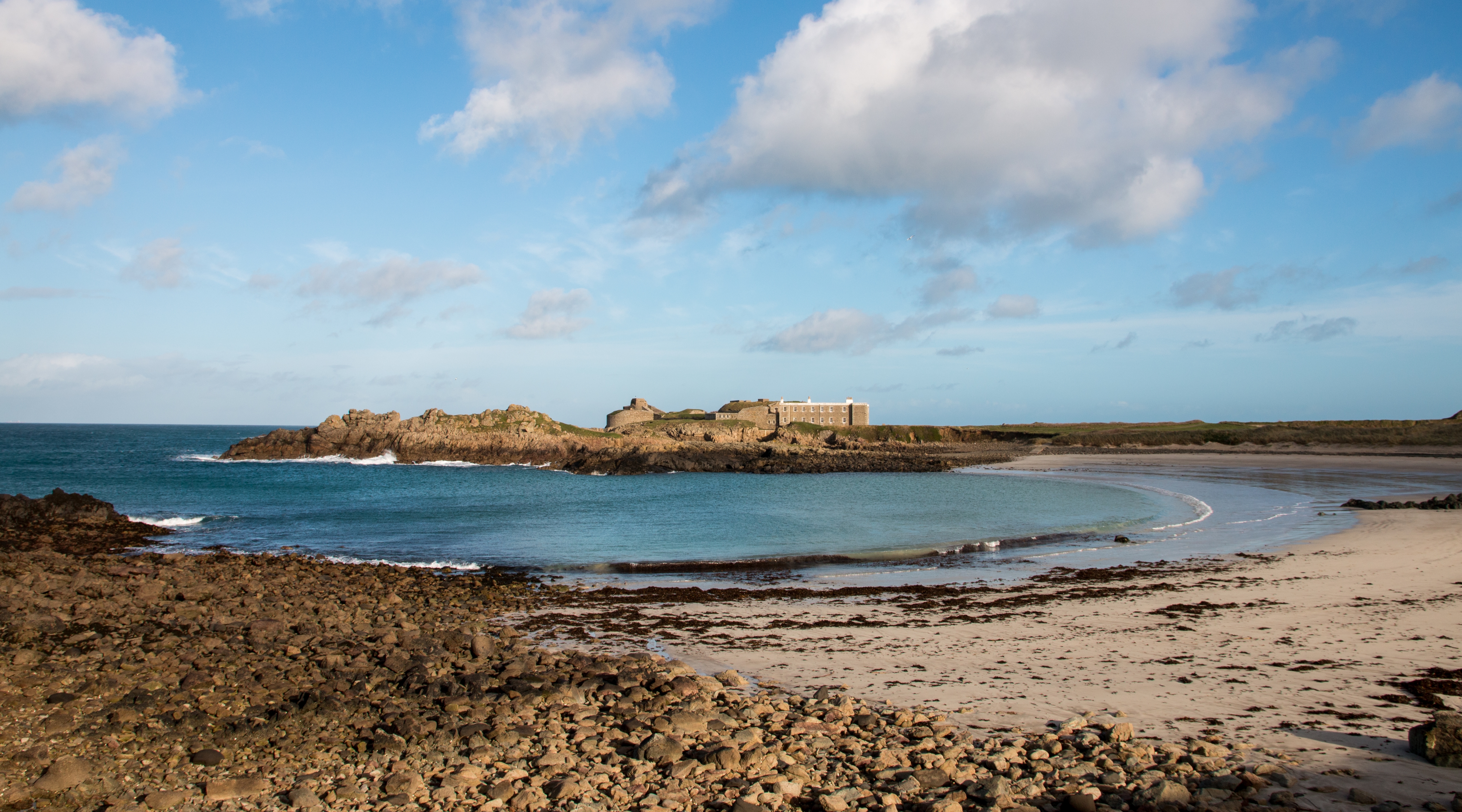
From Fort Clonque - Alderney
uk seascape water sand europe unitedkingdom britain sandy alderney guernsey channelislands braye brayebay douglasquay brayebeach bailiwickofguernsey crowndependencies
Douglas Quay Alderney in the Sunset light
sunset red sun clouds golf geotagged boats harbour golfcourse alderney englishchannel braye geo:lat=4971947 geo:lon=218469
Alderney Sunset
sun sunrise airplane geotagged dawn photographer aircraft aeroplane excellent awards hdr alderney channelislands englishchannel abigfave brittennormanbn2amk3trislander bn2atrislander geo:lat=49708607 geo:lon=2214711
Alderney Airport at Dawn
water wall night clouds geotagged alderney channelislands englishchannel fortalbert impressedbeauty douglasquay geo:lat=49723582 geo:lon=2199914
Douglas Quay at Night - Alderney
geotagged track path hut thorns alderney channelislands gorse geo:lat=49716454 geo:lon=2175923
A Hut Amongst the Gorse - Alderney
church graveyard graves christian alderney stanne
The Church at St.Anne - Alderney
sunset geotagged boat sailing ship sails tallship alderney mirrorlens geo:lat=49723627 geo:lon=2199912
Sails in the Sunset - Alderney
water geotagged rocks cliffs alderney channelislands englishchannel clonque geo:lat=49713546 geo:lon=222958
Clonque Rocks & Cliffs - Alderney
geotagged fire bonfire alderney channelislands englishchannel aurigny flickrsbest abigfave alderneyweek geo:lat=49718542 geo:lon=2203016
The Bonfire - Alderney Week
sea cloud gun fort tripod nazi bunker ww2 alderney atlanticwall casemate bibette ggerman
Nazi Gun Emplacement & Bunker - Alderney
water clouds geotagged bay rocks cliffs alderney englishchannel braye geo:lat=49726802 geo:lon=2187939
The entrance to Braye - Alderney
train geotagged rust crane decay alderney channelislands steamcrane geo:lat=49728039 geo:lon=2168614
Steam Crane on Rails
cloud lighthouse lake water geotagged hdr alderney channelislands geo:lat=49726569 geo:lon=2163914
Alderney's Lighthouse
sunset sun geotagged rocks alderney clonque wateralderneysunsetsunrocksclonque geo:lat=49714115 geo:lon=2231039
Misty Sunset - Alderney
beach water geotagged alderney channelislands englishchannel longis colorphotoaward flickrdiamond geo:lat=49718042 geo:lon=2172954
Longis - Alderney
seascape water weather fog clouds landscape geotagged waves foggy cliffs alderney channelislands englishchannel coastuk geo:lat=49706713 geo:lon=223255
Foggy Cliffs - Alderney
seascape landscape geotagged rocks fort alderney channelislands englishchannel raz longis fortraz geo:lat=4971757 flickrclassique geo:lon=2172521
Fort Raz
alderney forttourgis channelislands w1stptürkenburg fort atlanticwall
Fort Tourgis and W 1 StP Türkenburg - Alderney
alderney channelislandsvictorianfortfortificationfortifiedcastlelongexposureaurignyd800nikonnikkor20mmlightroomfocus water movement slow neutral density filter black wash rush speed power tide tidal stone ancient lasting durable stay staying clouds sunny day blue white sky rocks smooth sun direct flare channel isalnds islands victorian fort fortification fortified castle long exposure d800 nikon nikkor 20mm lightroom focus
Houmet Herbe
uk blue sea sky beach water clouds canon island coast rocks fort outdoor stones coastal shore fortification alderney channelislands saye sayebay canon70d fortchâteauàl’etoc
Saye Bay, Alderney
uk blue sky history beach wall coast sand outdoor nazi coastal ww2 alderney defences channelislands antitank occupation longis longisbay
Anti-tank Wall, Alderney
ocean uk sea beach water grass island bay coast sand dunes shoreline quay coastal shore alderney channelislands brayebay douglasquay brayebeach
Braye Bay, Alderney
uk sunset beach water island bay coast rocks outdoor coastal shore alderney channelislands rockpool clonque torgis
Rocky Shore, Alderney
ocean winter sunset sea beach water canon evening sand fort rope alderney channelislands raz longis longisbay fortraz canon70d
Longis Beach, Alderney
ocean sea beach clouds canon coast sand rocks day cloudy coastal ww2 alderney channelislands sayebay canonsx50
Saye Bay, Alderney
sunset sun water landscape navigation alderney neilhoward tourgis
Old navigation marker, Alderney
road uk landscape europe track unitedkingdom britain nazi alderney guernsey channelislands gorse bailiwickofguernsey crowndependencies
The scenic route to St. Anne. Alderney
canon heather valley alderney channelislands gorse canonsx50
Vallée des Trois Vaux, Alderney
seascape rock landscape island alderney
My Favourite rock on Alderney :)
uk sea water rock aldermey
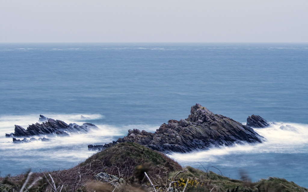
long exposure of rocks off Alderney
landscape geotagged rocks view alderney channelislands essexcastle geo:lat=49716662 geo:lon=2176974
The view from Essex Castle - Alderney