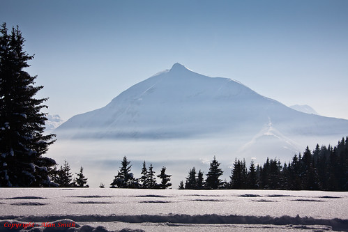
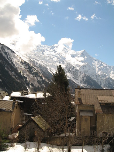
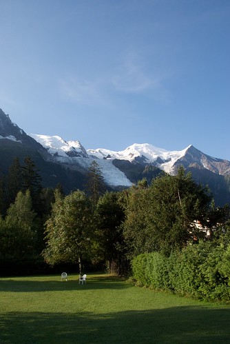
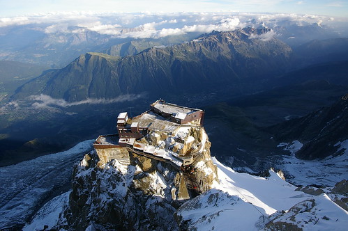
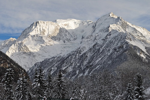
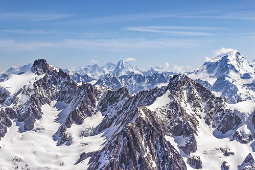
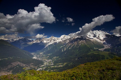
Elevation of Le Brévent, Chamonix, France
Location: France > Haute-savoie > Chamonix >
Longitude: 6.837519
Latitude: 45.9338539
Elevation: 2475m / 8120feet
Barometric Pressure: 75KPa
Related Photos:
Topographic Map of Le Brévent, Chamonix, France
Find elevation by address:

Places near Le Brévent, Chamonix, France:
Mont-blanc Chamonix
Chamonix
Chamonix Sud - Bus Station
Chamonix-mont-blanc, Chamonix
Bossons
Gare De Chamonix-mont-blanc
Chamonix-mont-blanc
Chalets D'Écuelle
Les Houches
Les Tines
Aiguille De La Tête Plate
Aiguille Du Midi
Apollo Constructions
Chalet Savoy
Aiguille De Mesure
Mer De Glace
Mont Buet
Argentière
Le Cheval Blanc
Plateau D'assy
Recent Searches:
- Elevation of Corso Fratelli Cairoli, 35, Macerata MC, Italy
- Elevation of Tallevast Rd, Sarasota, FL, USA
- Elevation of 4th St E, Sonoma, CA, USA
- Elevation of Black Hollow Rd, Pennsdale, PA, USA
- Elevation of Oakland Ave, Williamsport, PA, USA
- Elevation of Pedrógão Grande, Portugal
- Elevation of Klee Dr, Martinsburg, WV, USA
- Elevation of Via Roma, Pieranica CR, Italy
- Elevation of Tavkvetili Mountain, Georgia
- Elevation of Hartfords Bluff Cir, Mt Pleasant, SC, USA


