Elevation of Lautaro, Lautaro, Araucania, Chile
Location: Chile > Araucania > Cautín Province > Lautaro >
Longitude: -72.454134
Latitude: -38.508431
Elevation: 244m / 801feet
Barometric Pressure: 98KPa
Elevation Map:
Satellite Map:
Related Photos:
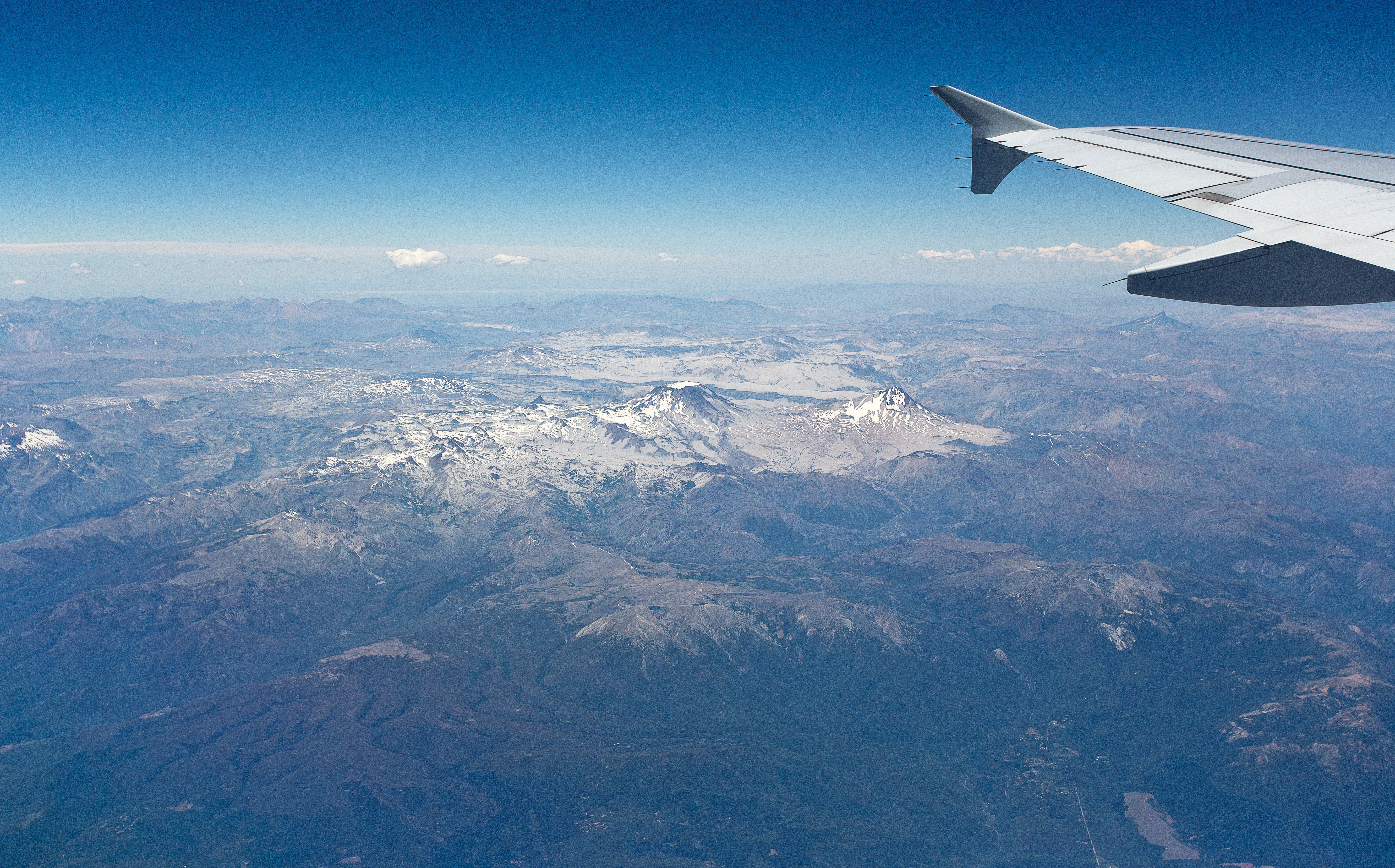
First view of Chile's Lake District
Topographic Map of Lautaro, Lautaro, Araucania, Chile
Find elevation by address:

Places near Lautaro, Lautaro, Araucania, Chile:
Lautaro
Temuco
Malalcahuello
Temuco
Coyhaique 419
Padre Las Casas
Maquehue Airport
Malleco Province
Araucania
Cautín Province
Curacautin
Villarrica
Villarrica
Villarrica Lake
Las Chilcas
Pucón
Calle Clemente Holzapfel 430
Pucon
Recent Searches:
- Elevation of Corso Fratelli Cairoli, 35, Macerata MC, Italy
- Elevation of Tallevast Rd, Sarasota, FL, USA
- Elevation of 4th St E, Sonoma, CA, USA
- Elevation of Black Hollow Rd, Pennsdale, PA, USA
- Elevation of Oakland Ave, Williamsport, PA, USA
- Elevation of Pedrógão Grande, Portugal
- Elevation of Klee Dr, Martinsburg, WV, USA
- Elevation of Via Roma, Pieranica CR, Italy
- Elevation of Tavkvetili Mountain, Georgia
- Elevation of Hartfords Bluff Cir, Mt Pleasant, SC, USA