Elevation of Laurel Hill, NC, USA
Location: United States > North Carolina > Scotland County > Williamson >
Longitude: -79.545463
Latitude: 34.8098016
Elevation: 77m / 253feet
Barometric Pressure: 100KPa
Elevation Map:
Satellite Map:
Related Photos:
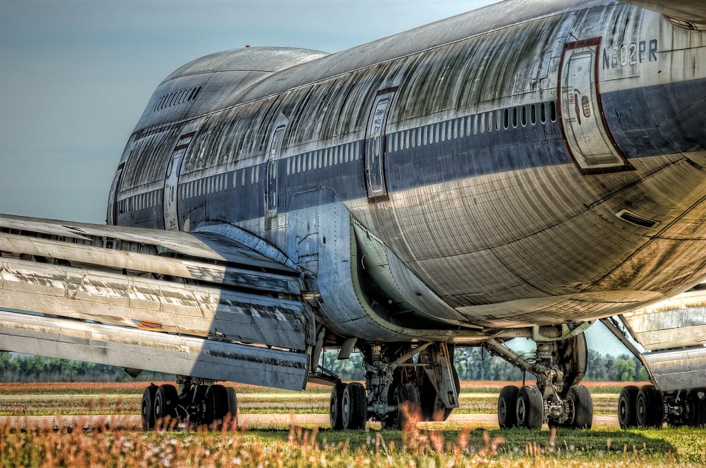
Retired 747-100 at KMEB
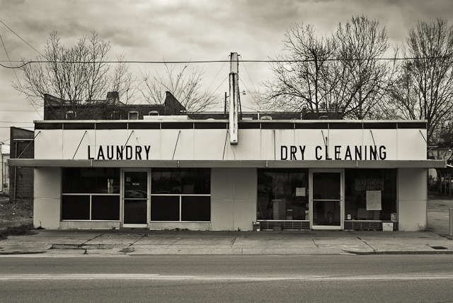
SOUTHERN CLEANERS

Ida Yarn Mill, Laurel Hill, NC
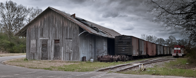
FORGOTTEN FREIGHT
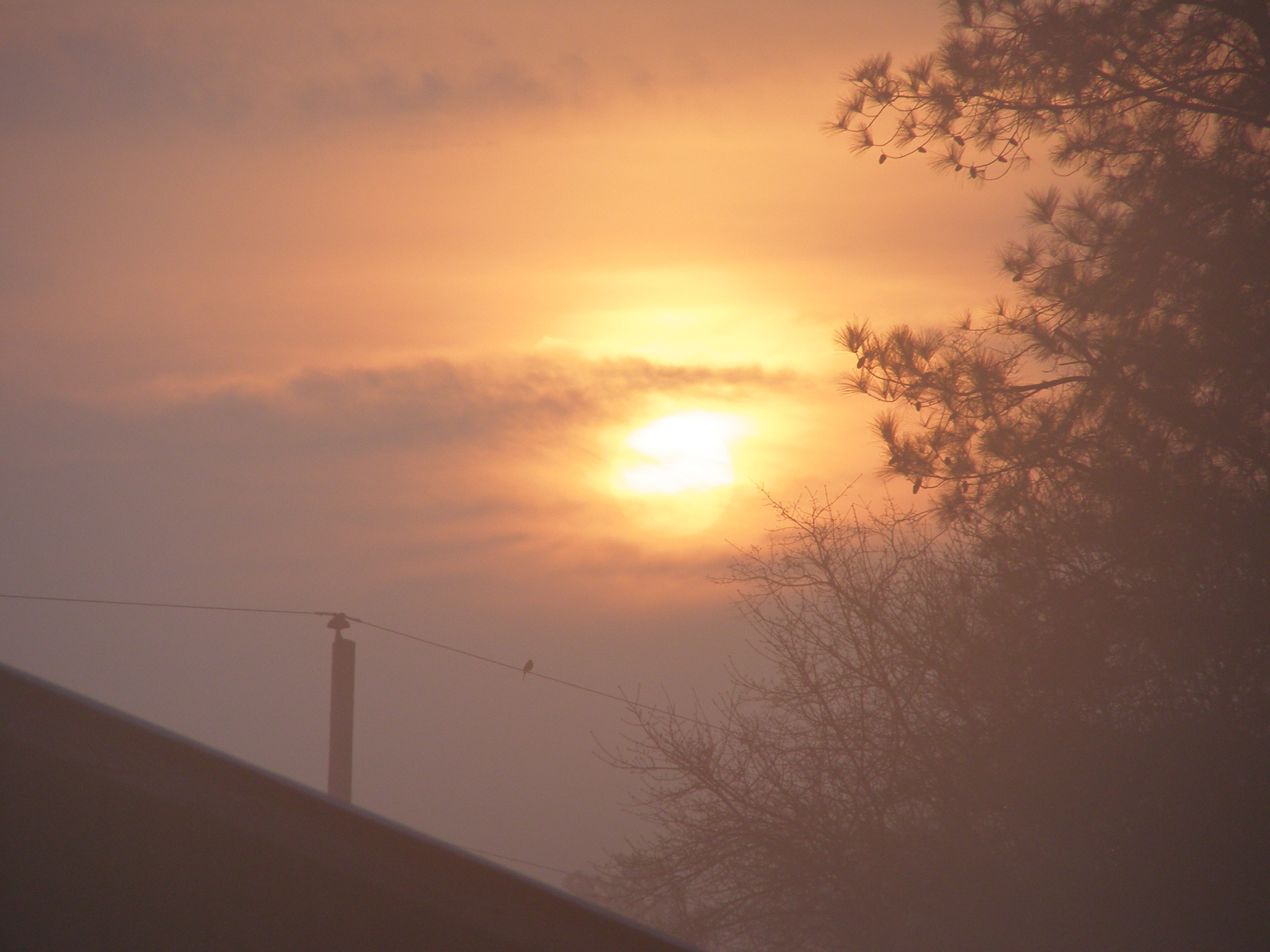
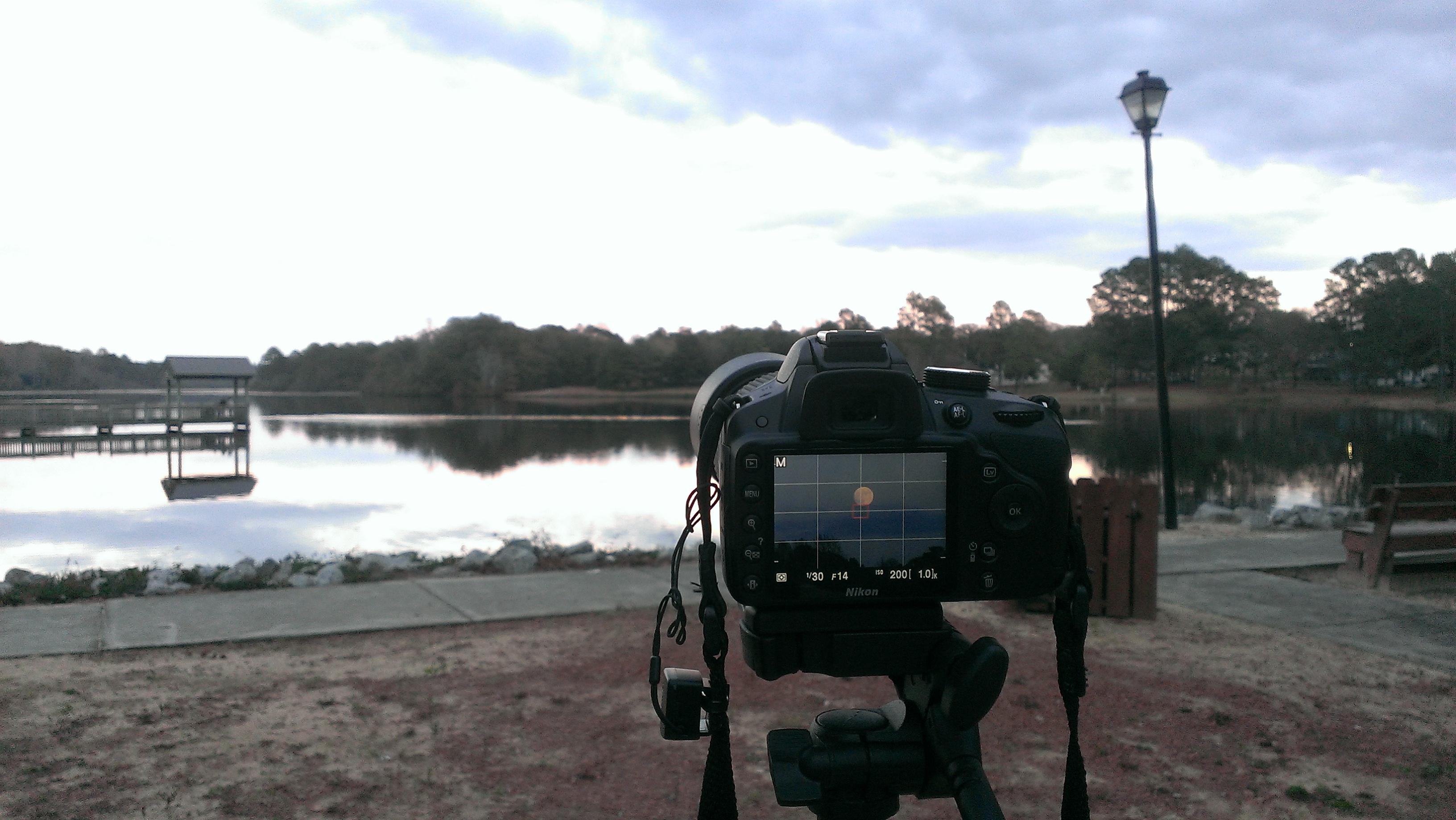
Sunrise at the Farm

The green, green grass of home in Laurinburg, NC. #home #grass #road2imaging @ourppa @imagingusa

Moon/Landscape Images
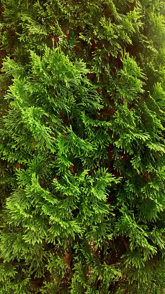
Pine Greenery.

The Lake, Some Dorms
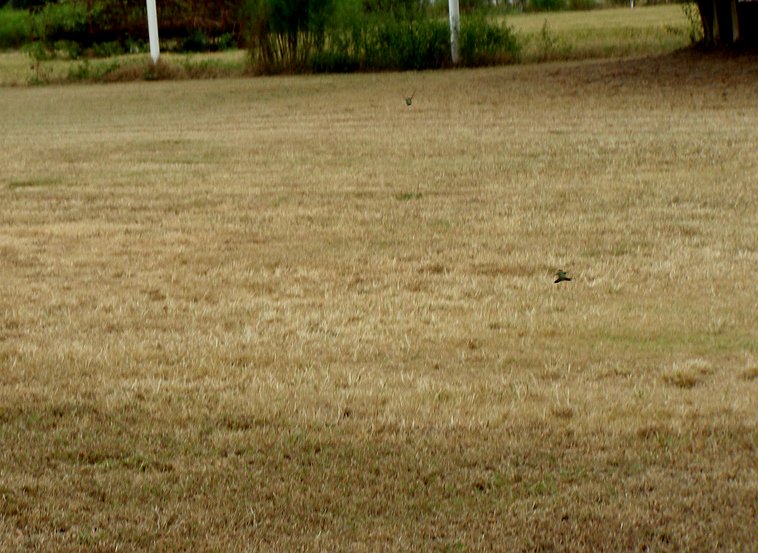
"Dog Fighting Hummingbirds"
Moon/Landscape Images
Topographic Map of Laurel Hill, NC, USA
Find elevation by address:

Places in Laurel Hill, NC, USA:
Places near Laurel Hill, NC, USA:
Laurel Hill Township
Scotland County
22601 Aberdeen Rd
Batman Wildlife & Chimney Swp
102 Driggers Dr
15340 Palmer Rd
Marks Creek
King St, Marston, NC, USA
11 East V Hogan Drive
Spring St, Hamlet, NC, USA
Hamlet
Dobbins Heights
Daniels St, Hamlet, NC, USA
Ridge Road
1000 W Hamlet Ave
1000 W Hamlet Ave
111 Signal St
205 James Ave
748 Mill Rd
161 Arrowhead Trail
Recent Searches:
- Elevation of Corso Fratelli Cairoli, 35, Macerata MC, Italy
- Elevation of Tallevast Rd, Sarasota, FL, USA
- Elevation of 4th St E, Sonoma, CA, USA
- Elevation of Black Hollow Rd, Pennsdale, PA, USA
- Elevation of Oakland Ave, Williamsport, PA, USA
- Elevation of Pedrógão Grande, Portugal
- Elevation of Klee Dr, Martinsburg, WV, USA
- Elevation of Via Roma, Pieranica CR, Italy
- Elevation of Tavkvetili Mountain, Georgia
- Elevation of Hartfords Bluff Cir, Mt Pleasant, SC, USA