Elevation of Laurel Fork Rd, Laurel Springs, NC, USA
Location: United States > North Carolina > Ashe County > Peak Creek > Laurel Springs >
Longitude: -81.287864
Latitude: 36.4074824
Elevation: 861m / 2825feet
Barometric Pressure: 91KPa
Elevation Map:
Satellite Map:
Related Photos:
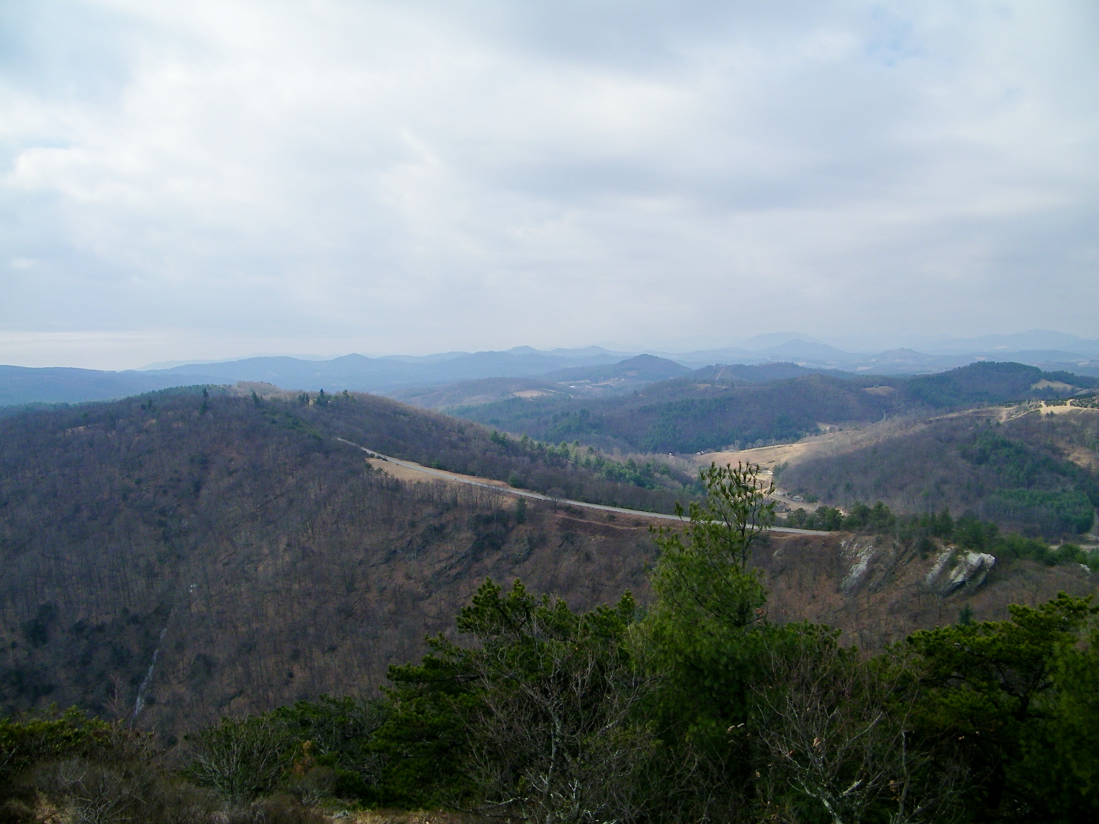
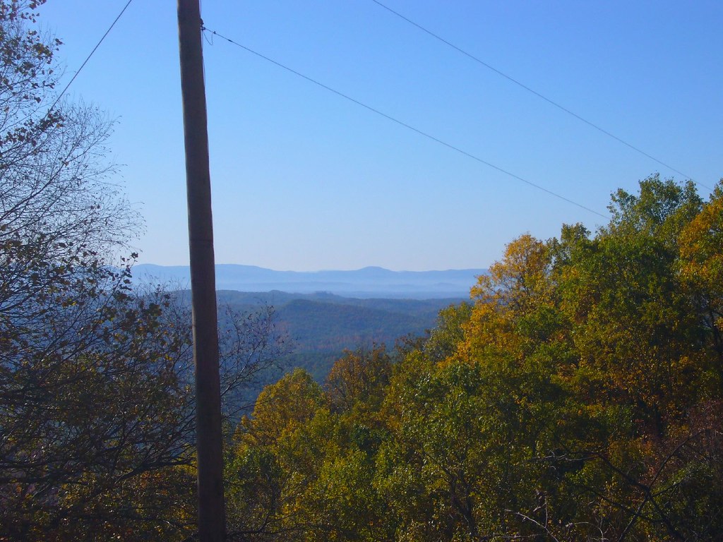
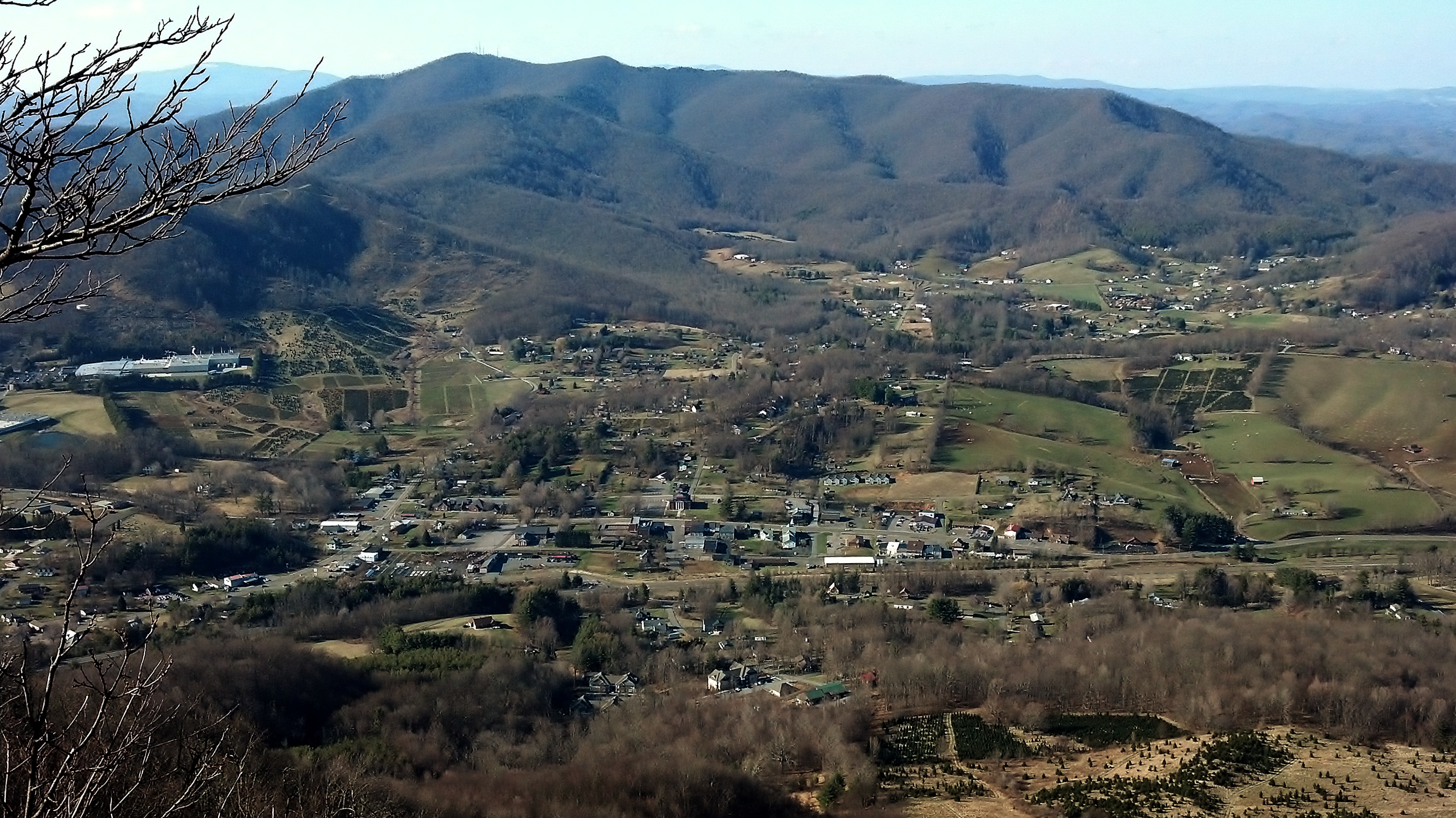
Bluff Mountain Trail
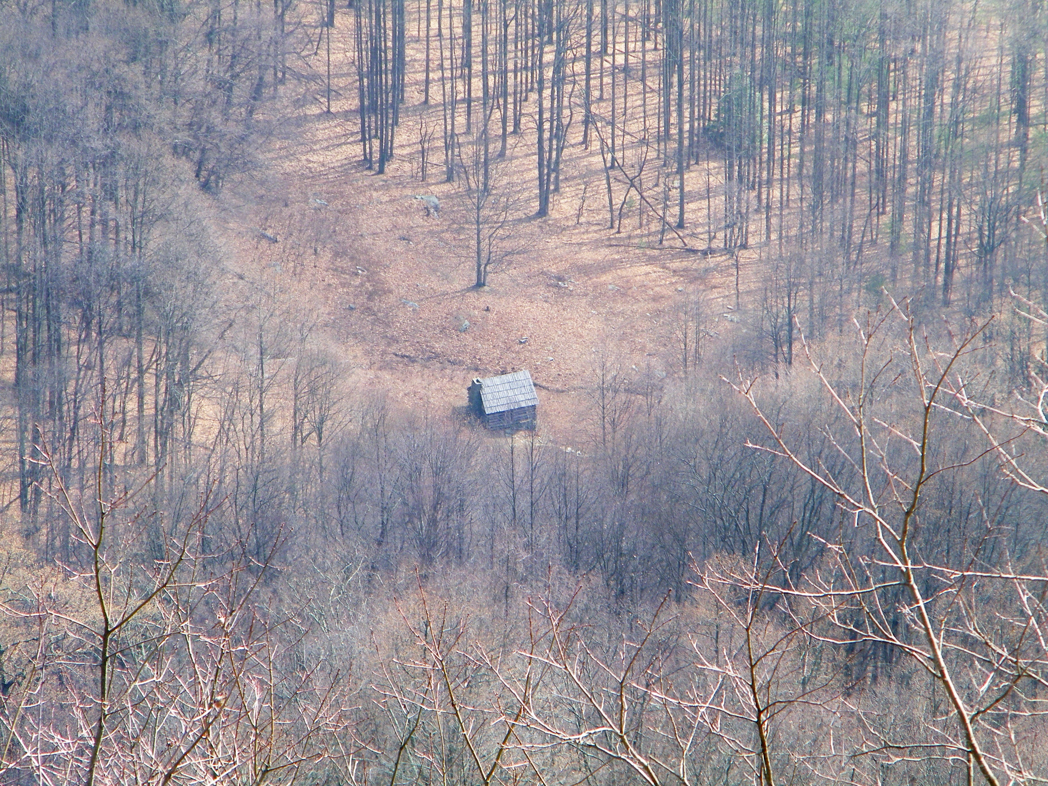
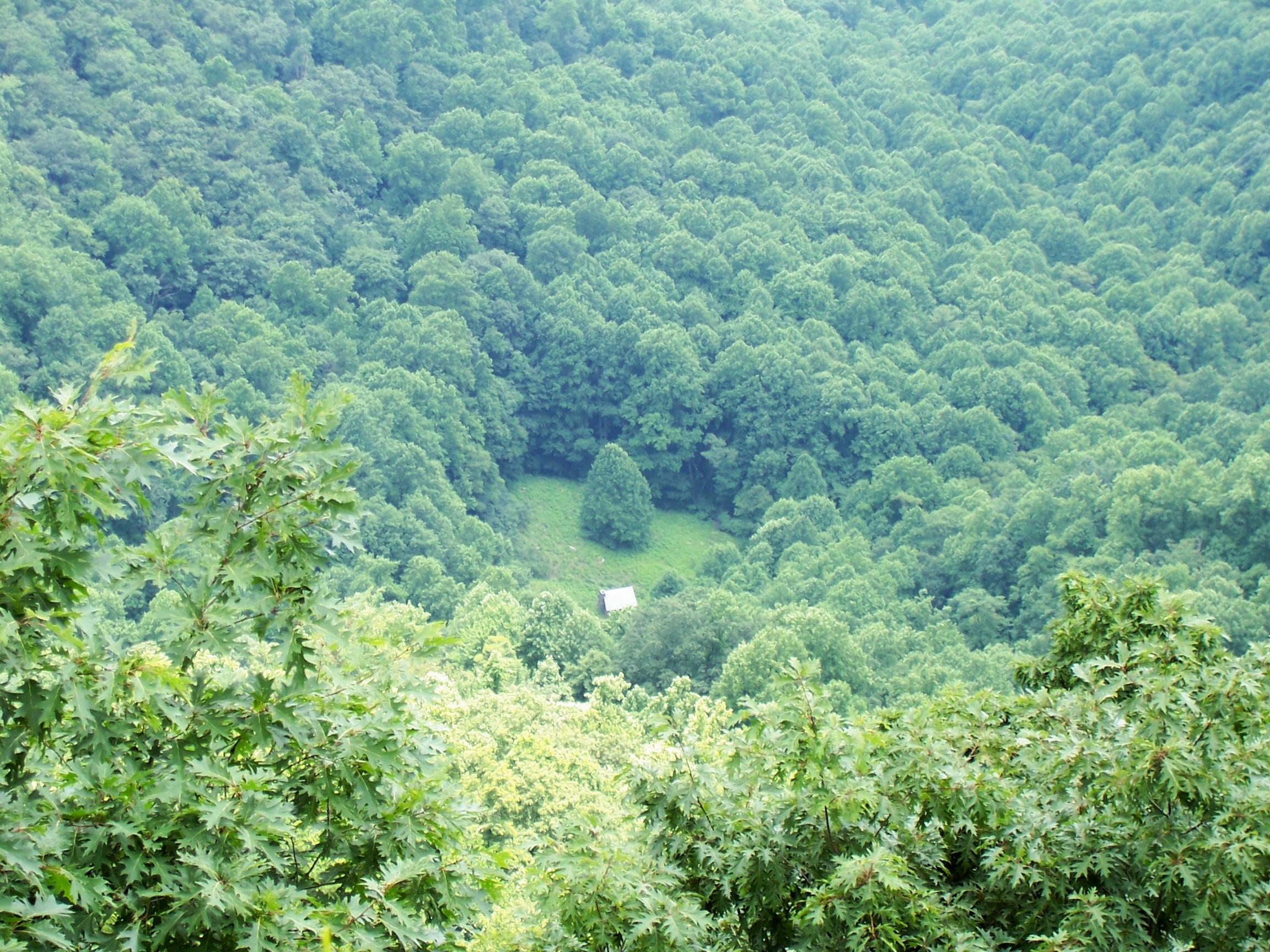
Caudill Cabin
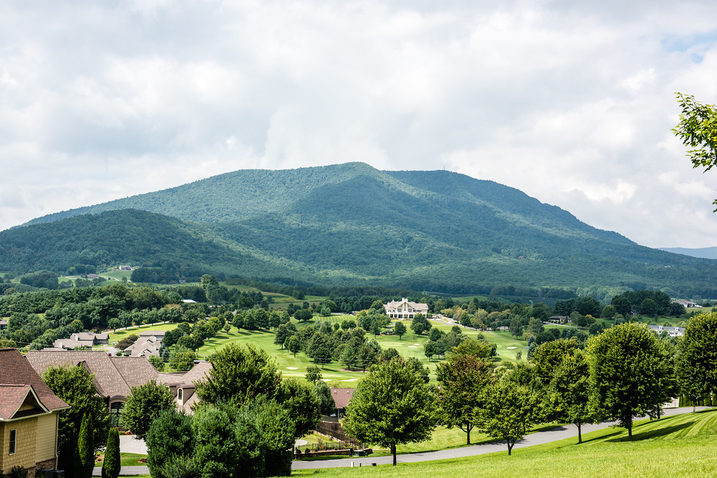
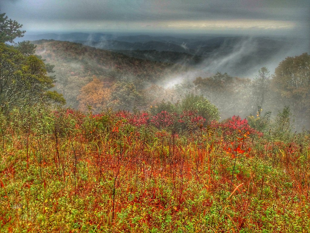
Early Fall in the Southern Appalachians
View from Betsey's Rock Falls Overlook - Blue Ridge Parkway

THE LUMP OVERLOOK

THE LUMP OVERLOOK
the view
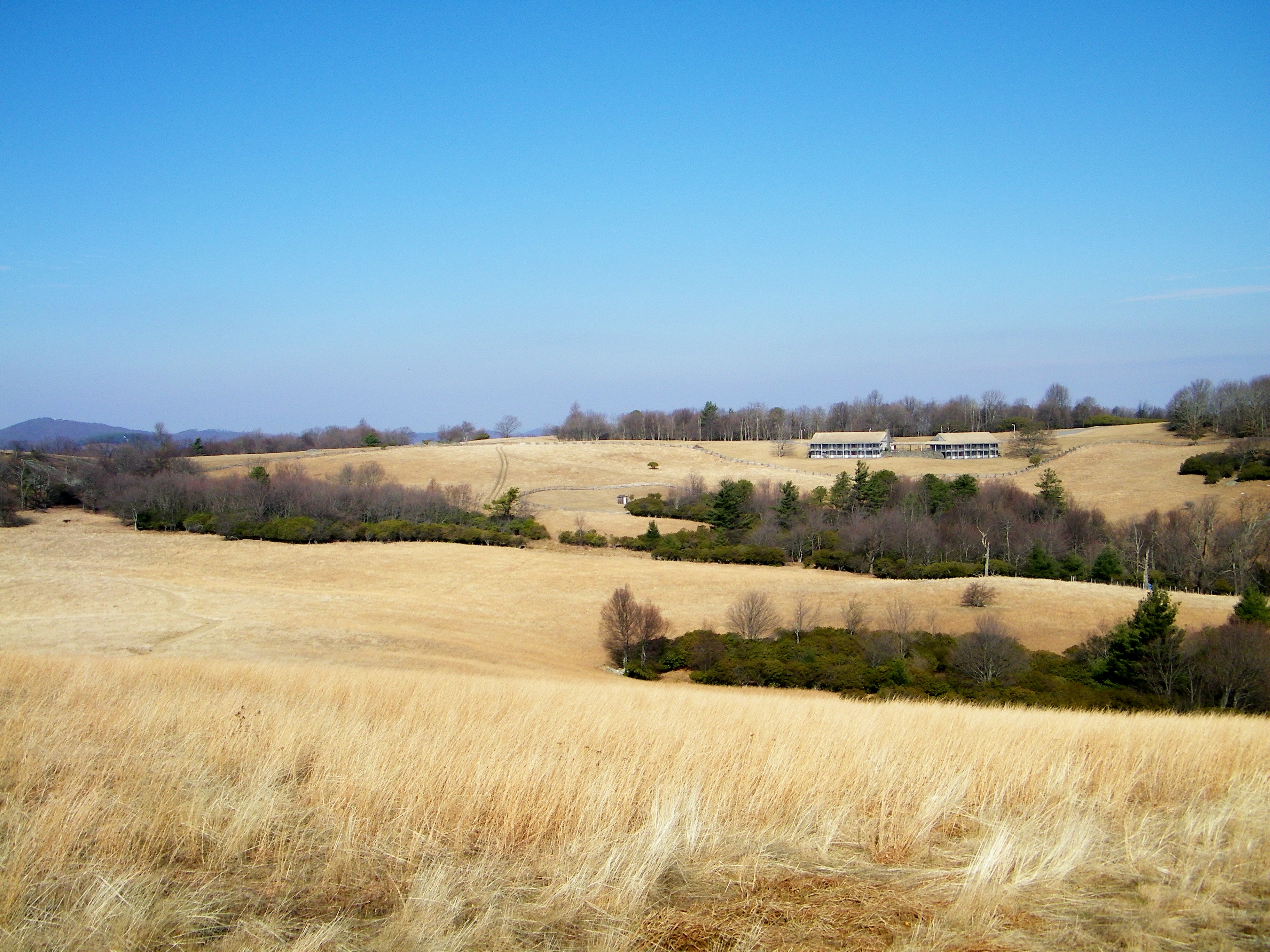
Bluff Mountain Trail
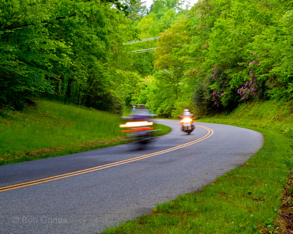
Biking the Blue Ridge
Bluff Mountain Trail

The spectacular views

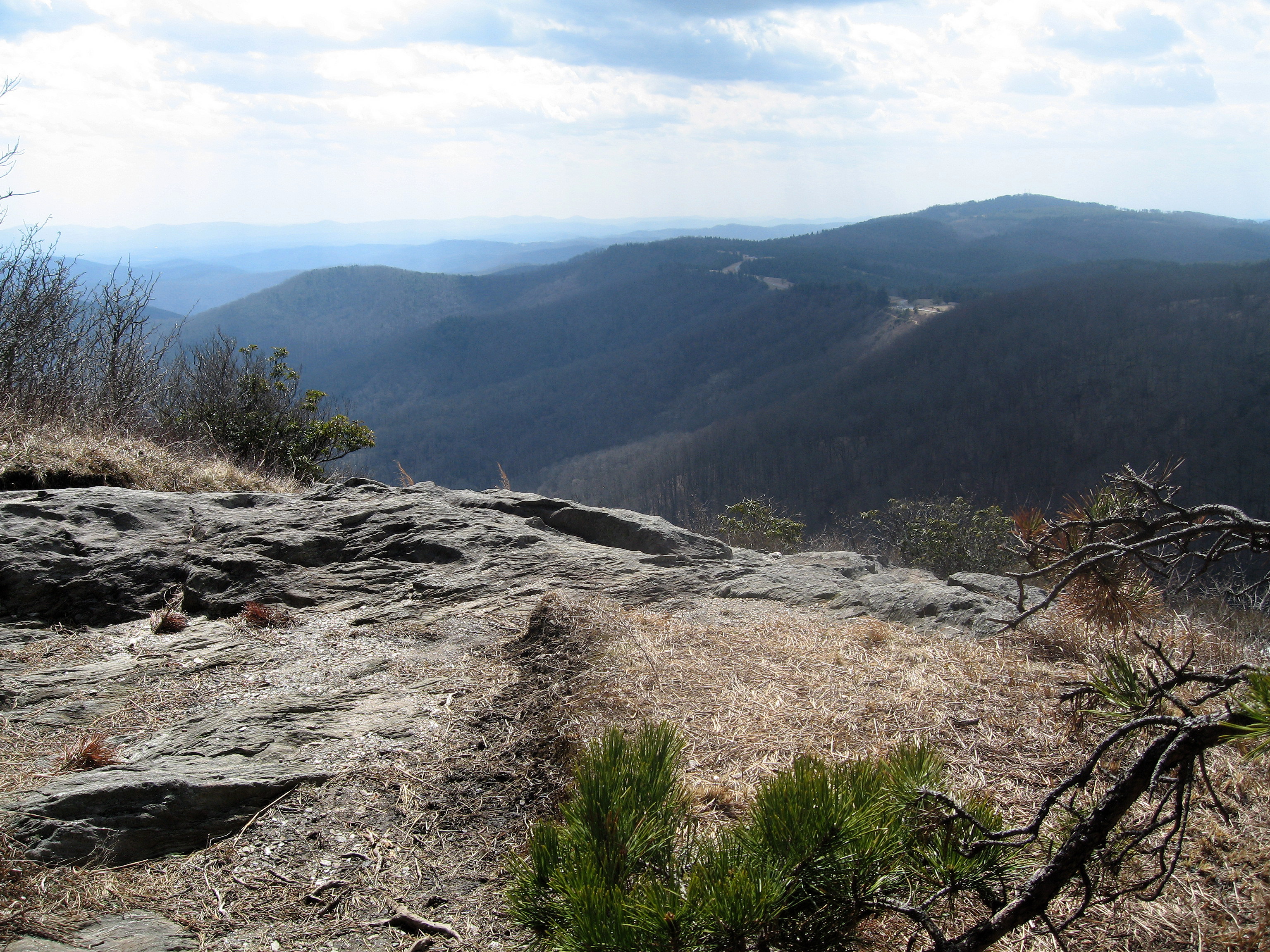
Jumpingoff Rocks

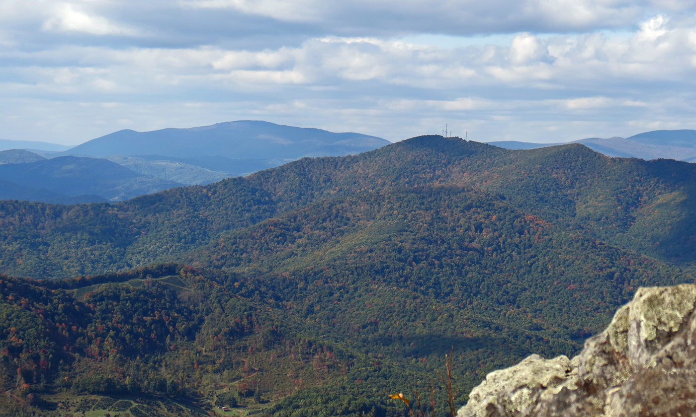
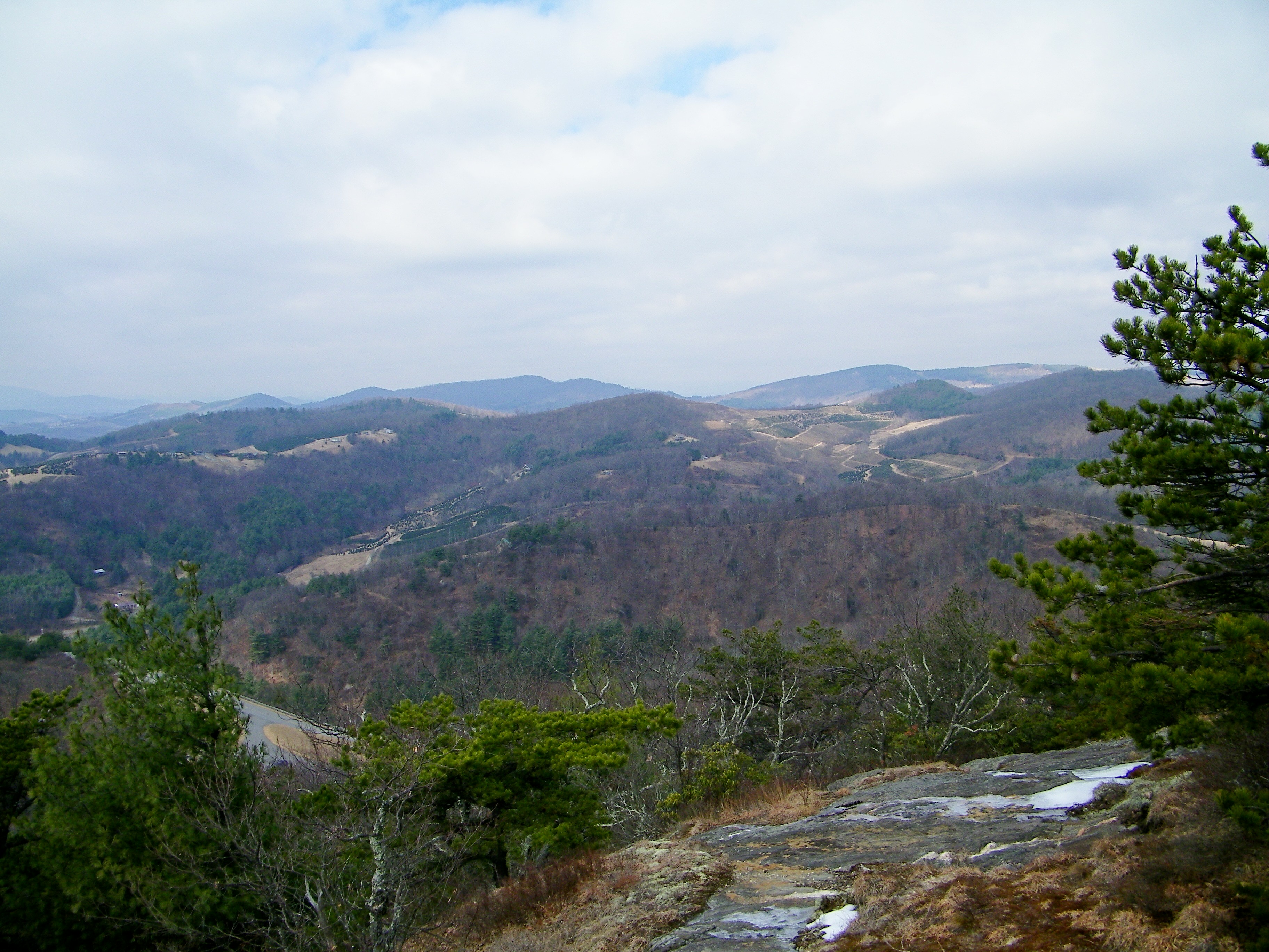
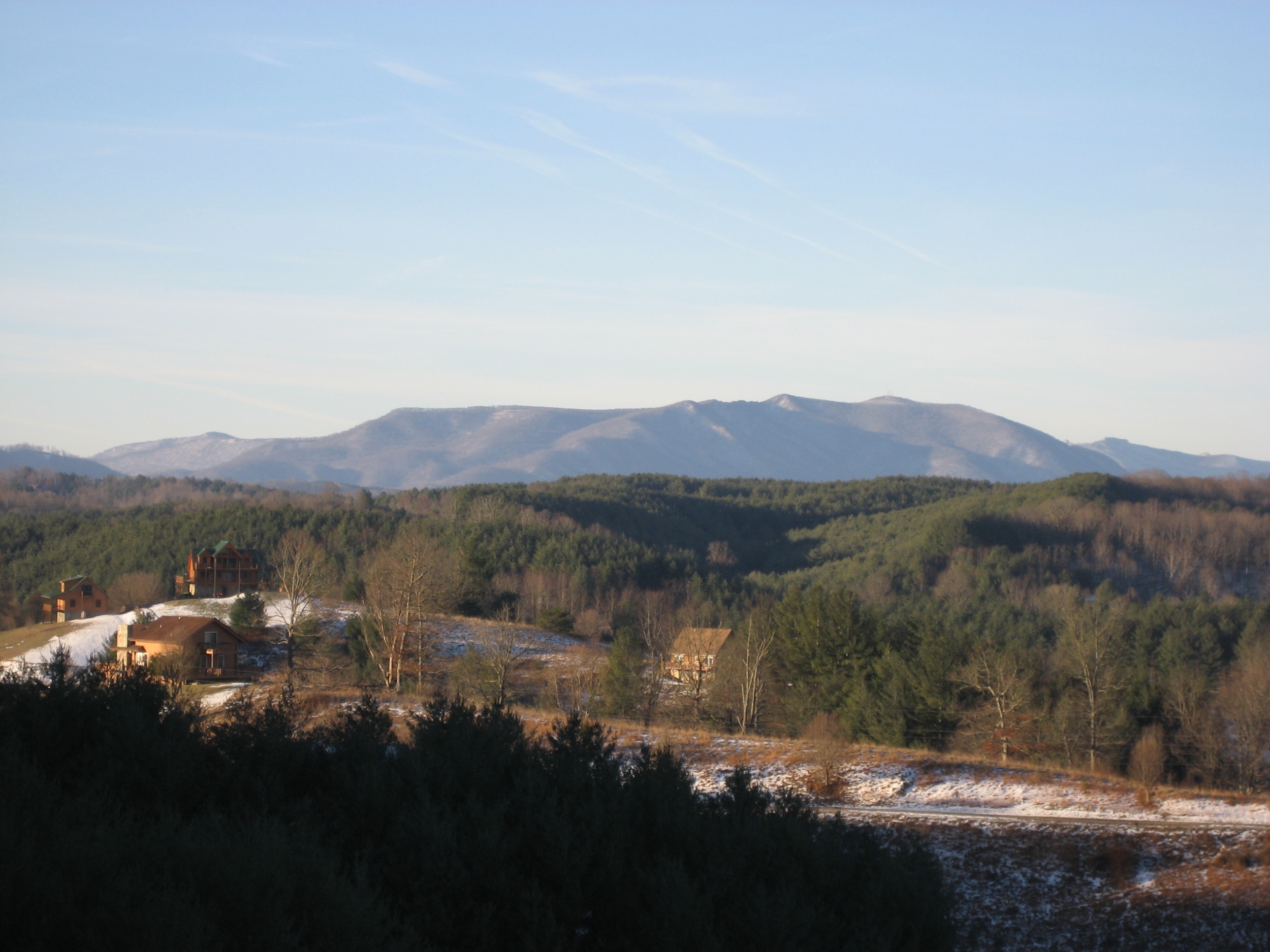
Bluff Mountain
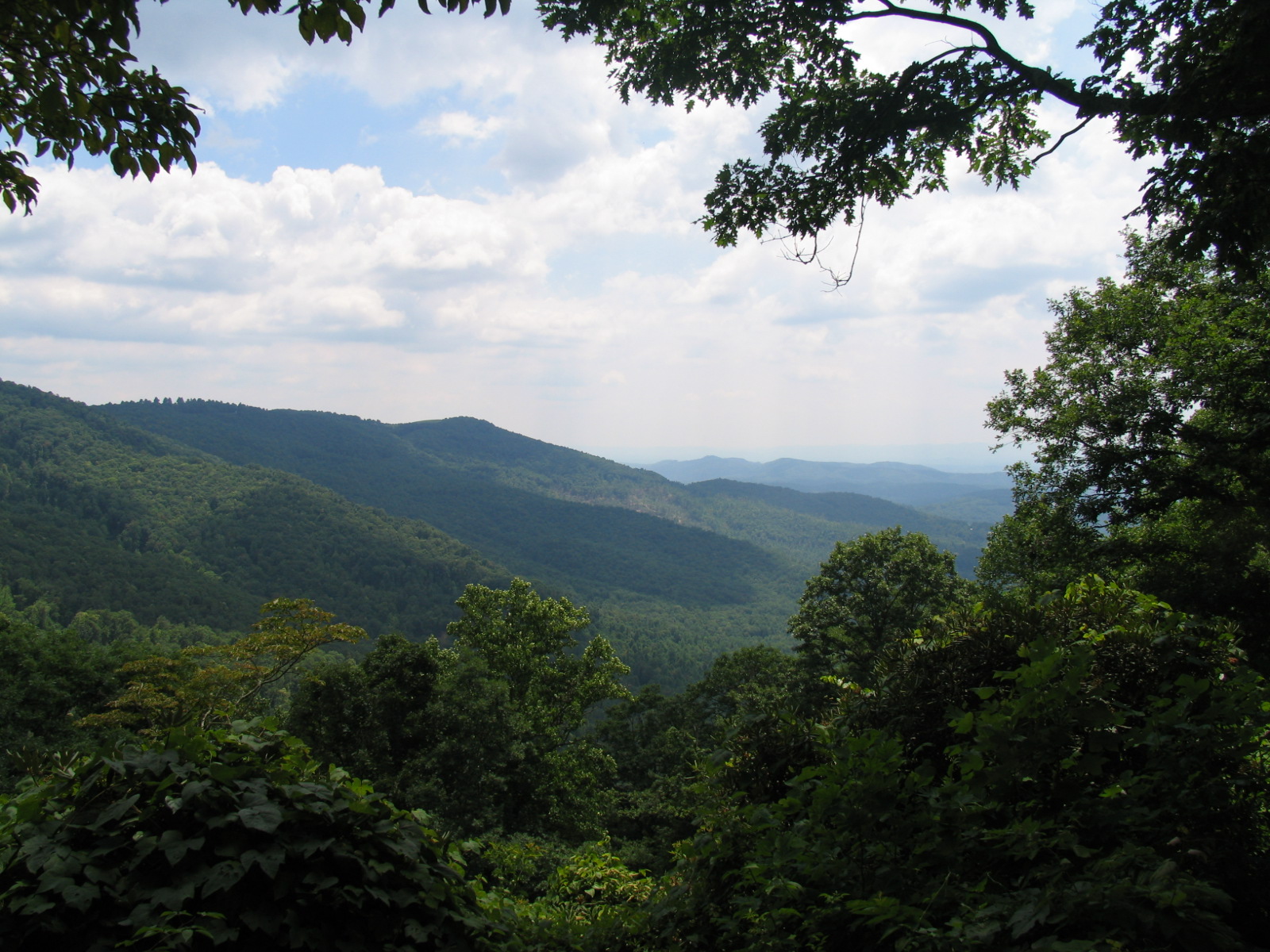
Mountain View
Caudill Cabin

Doughton Park - Blue Ridge Parkway
View from milepost 242.3, Blue Ridge Parkway
Bluff Mountain
Mountain view just up the hill from our cabin

Waking up enjoying the view
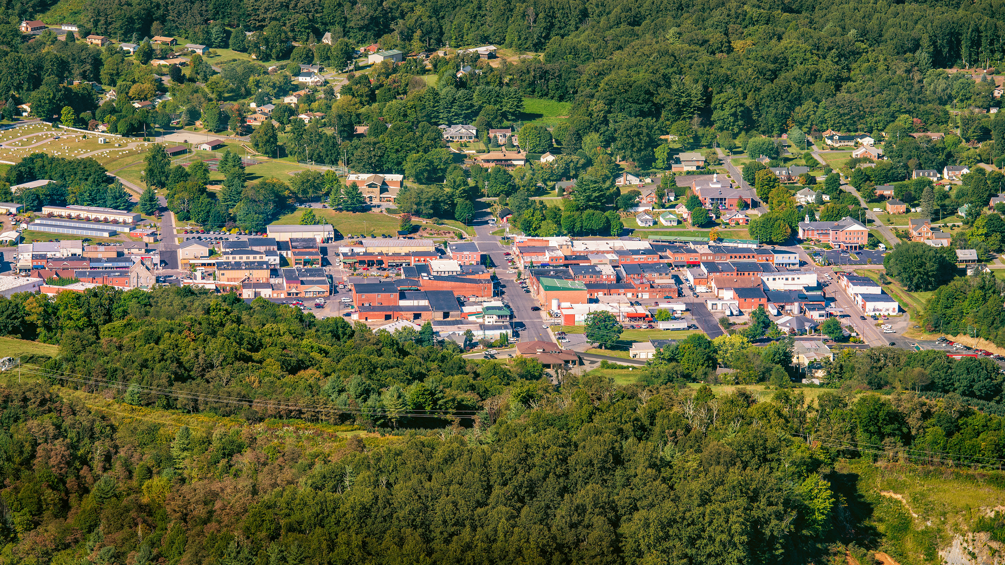
West Jefferson, North Carolina
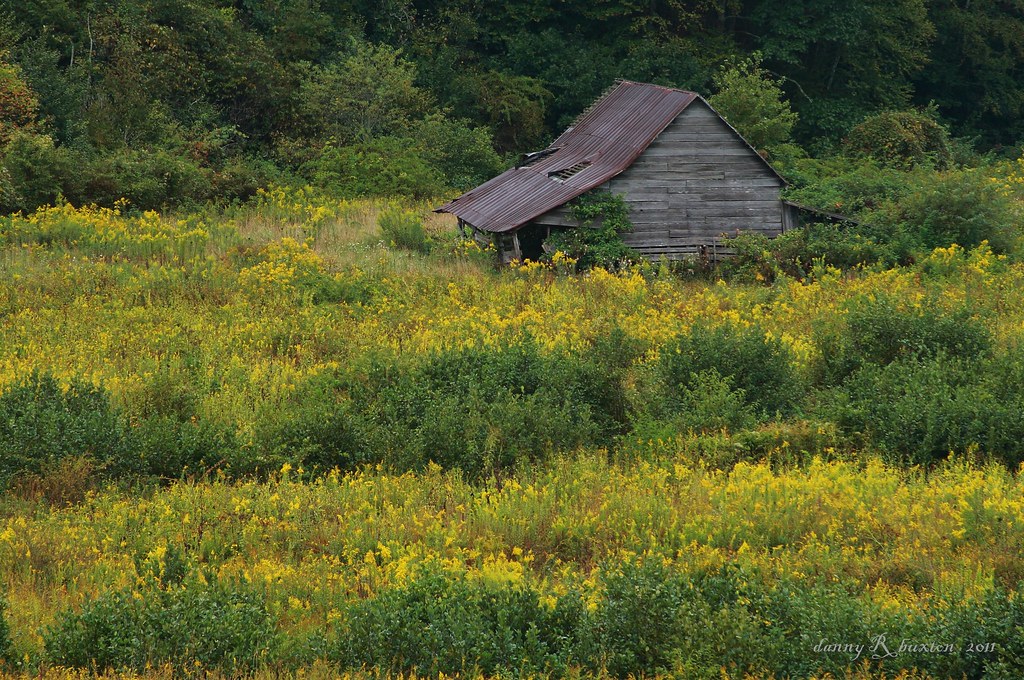
Old Barn & Goldenrod 261/365

Blue Ridge Parkway

Wildcat Surprise
Air Bellows Overlook on the Blue Ridge Parkway
october mountain autumn
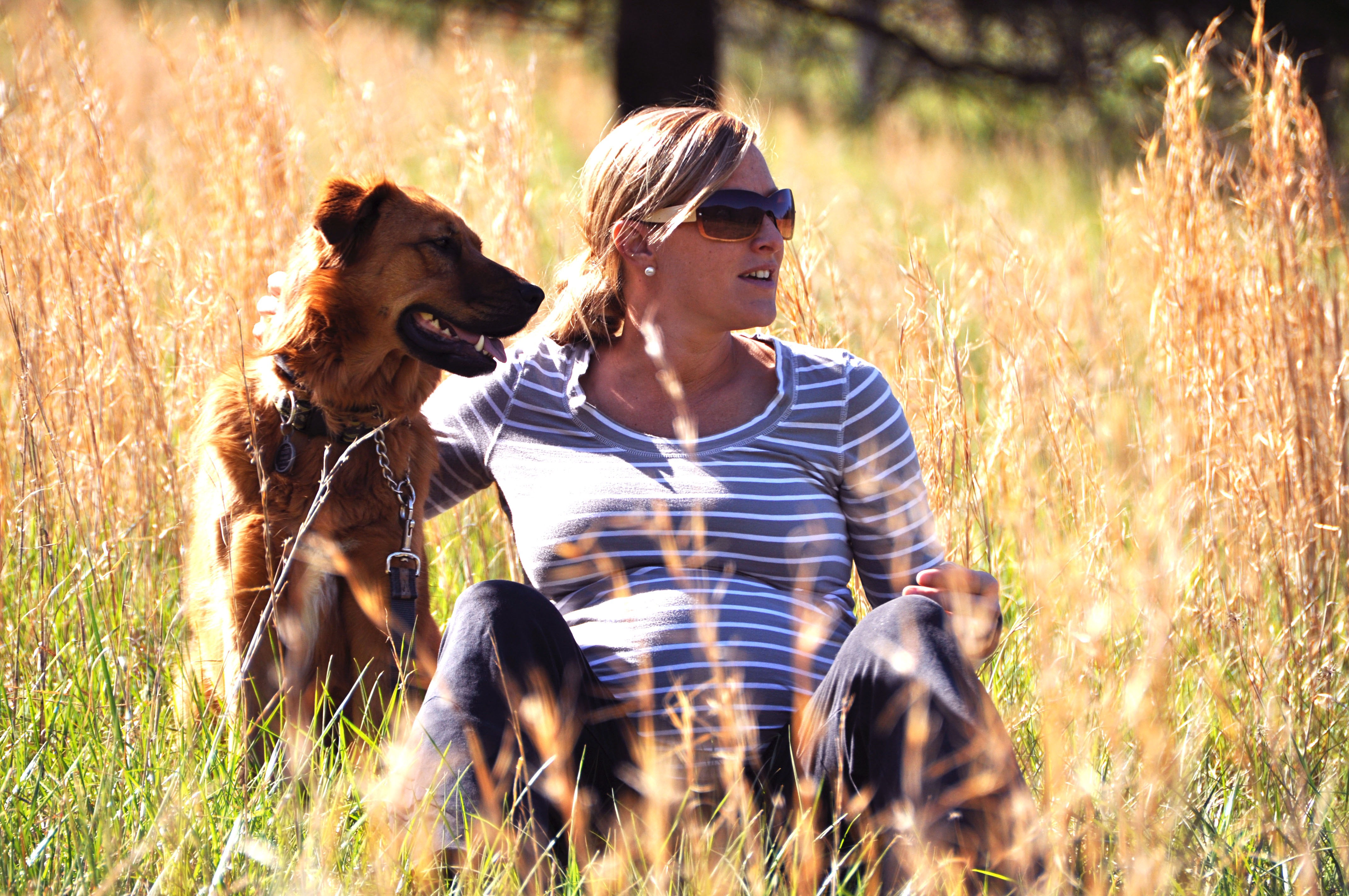
river and her momma to be

Bard_SL (149)

Bard_SL_1 (6)
BardP2_SL (6)
Blue Mountain Parkway Blues

Blue Ridge Parkway
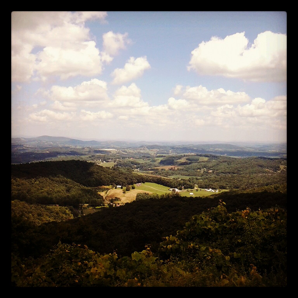
Blue Ridge Field Pano
Hidden Waterfall #2
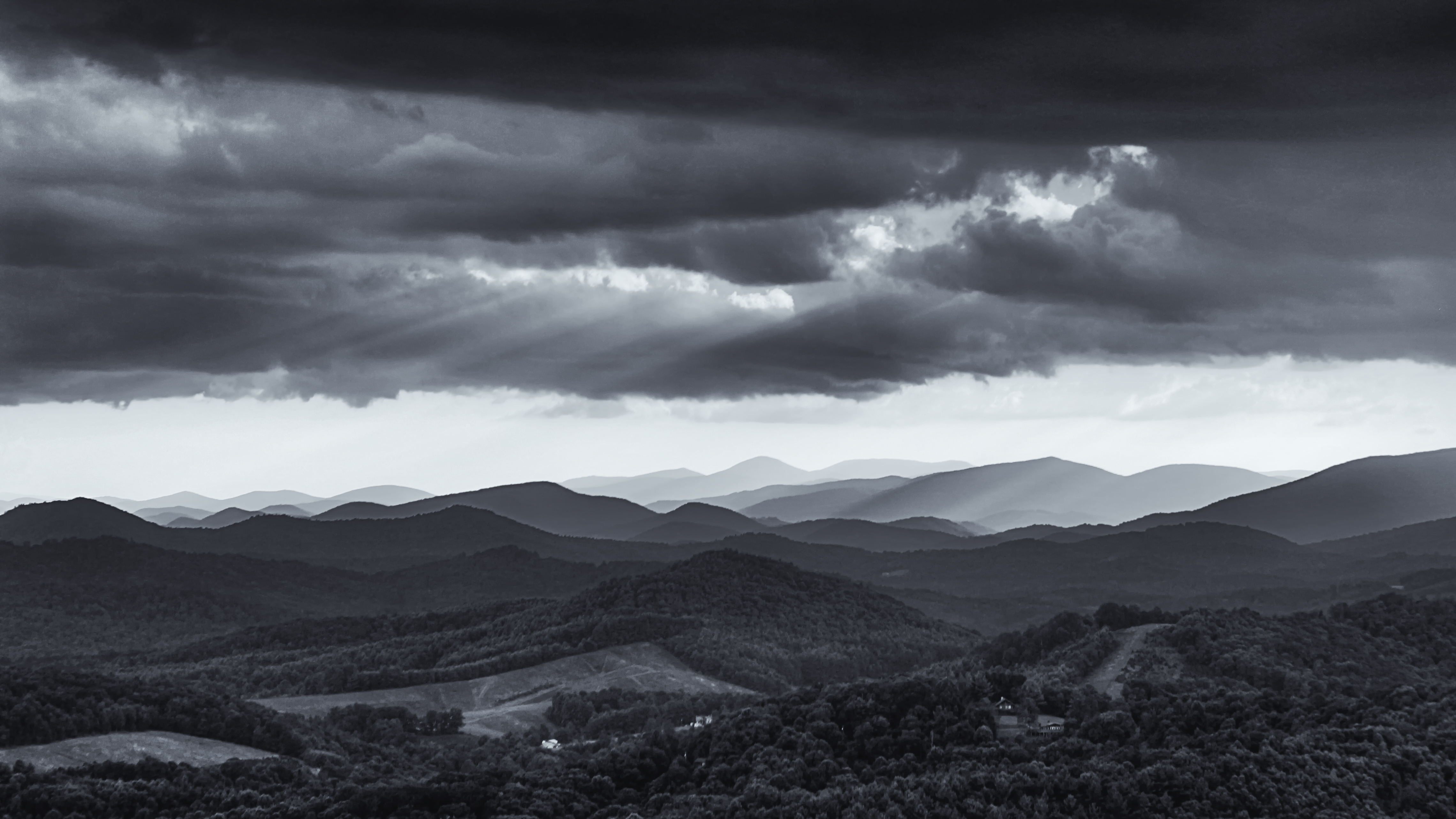
Blue Ridge Rainstorm
Fall Hike at Mount Jefferson
95/365: Jefferson, NC
After the storm
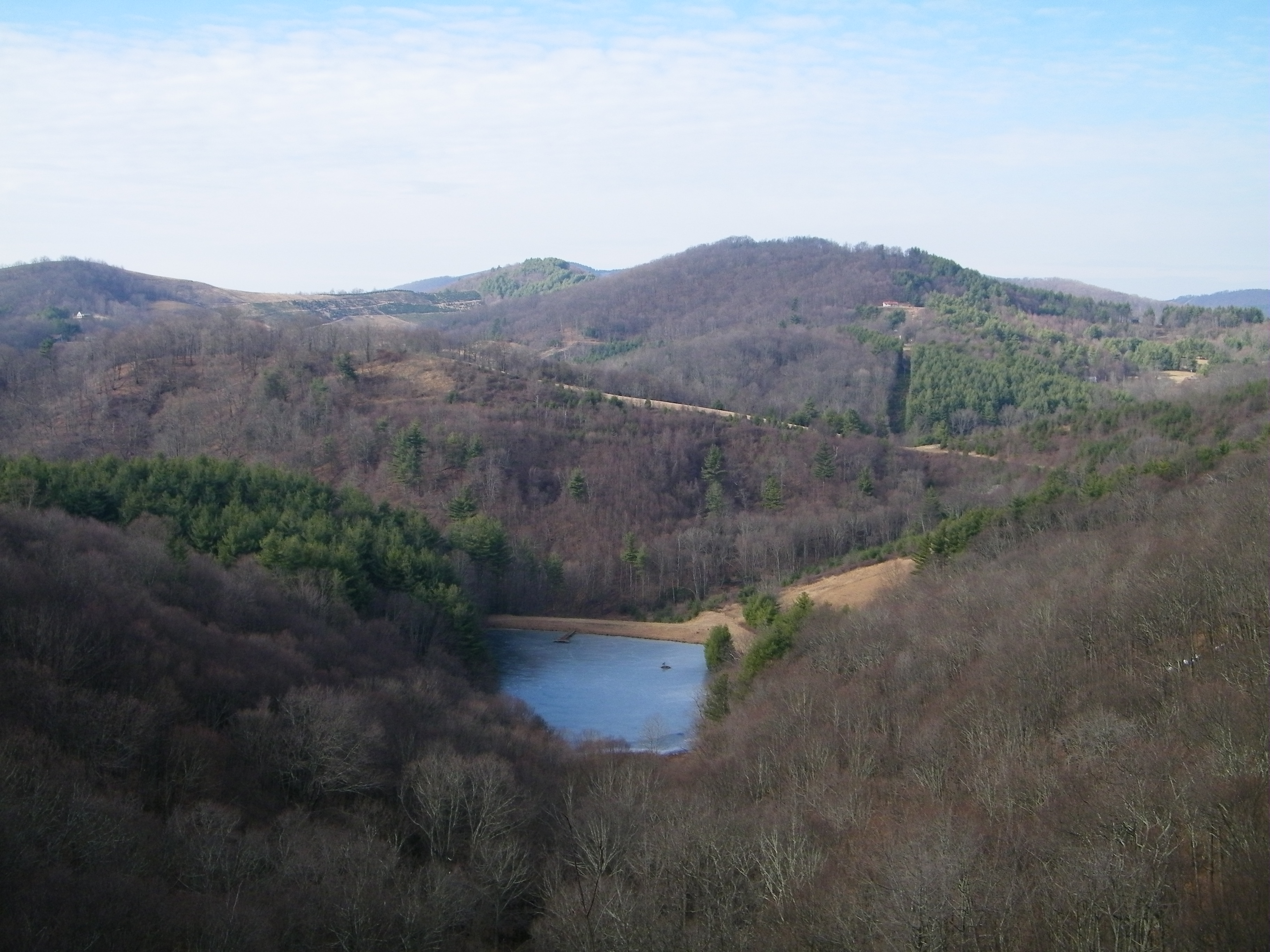
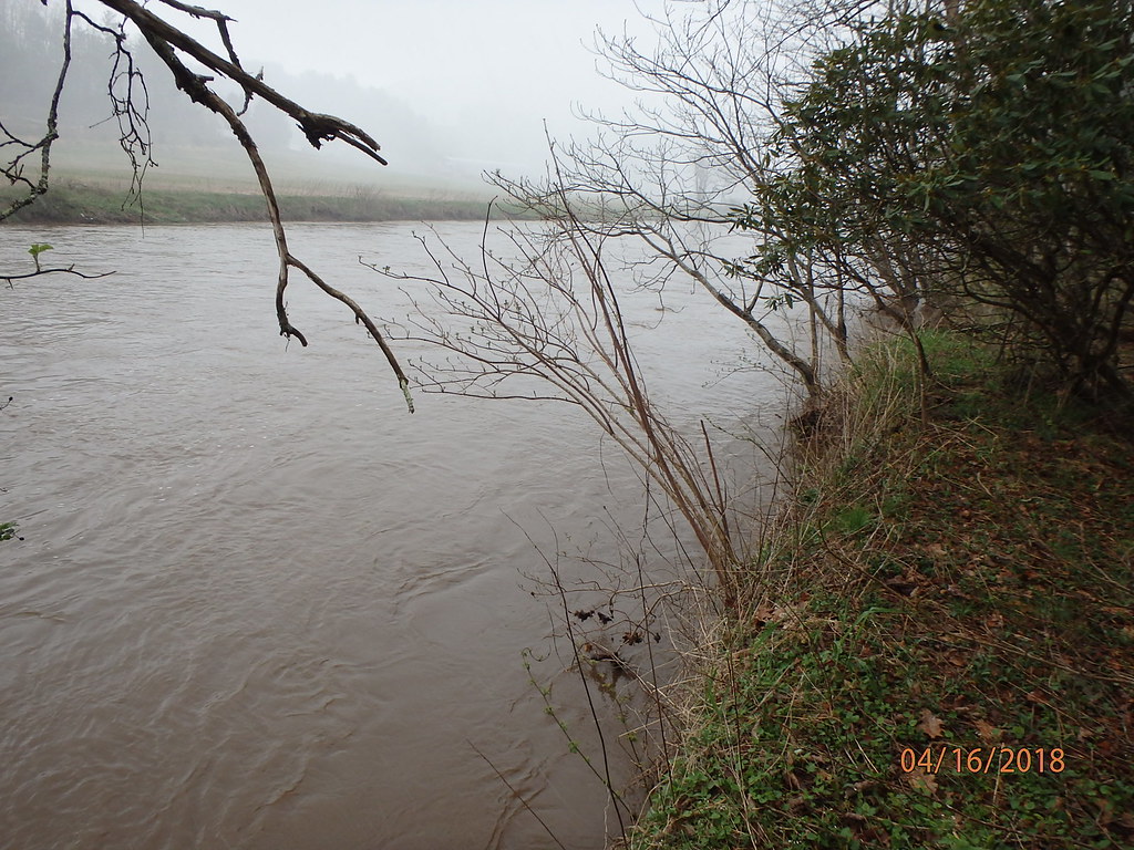
The New River
Topographic Map of Laurel Fork Rd, Laurel Springs, NC, USA
Find elevation by address:

Places near Laurel Fork Rd, Laurel Springs, NC, USA:
486 Laurel Fork Rd
486 Laurel Fork Rd
985 Upper Cranberry Rd
486 S Laurel Fork Rd
690 Parkway Estates
286 Big Peak Creek Rd
Laurel Springs
5451 Cranberry Creek Rd
Peak Creek
Laurel Springs, NC, USA
571 Gaither Poe Rd
286 Mine Rd
Martin Knoll Road
2497 Nc-113
3403 Big Peak Creek Rd
6164 Nc-88
959 County Line Rd
927 County Line Rd
587 Ore Knob Manor Rd
262 Carla Ct
Recent Searches:
- Elevation of Corso Fratelli Cairoli, 35, Macerata MC, Italy
- Elevation of Tallevast Rd, Sarasota, FL, USA
- Elevation of 4th St E, Sonoma, CA, USA
- Elevation of Black Hollow Rd, Pennsdale, PA, USA
- Elevation of Oakland Ave, Williamsport, PA, USA
- Elevation of Pedrógão Grande, Portugal
- Elevation of Klee Dr, Martinsburg, WV, USA
- Elevation of Via Roma, Pieranica CR, Italy
- Elevation of Tavkvetili Mountain, Georgia
- Elevation of Hartfords Bluff Cir, Mt Pleasant, SC, USA