Elevation of Laurel Dr, Tryon, NC, USA
Location: United States > North Carolina > Polk County > Tryon > Tryon >
Longitude: -82.241922
Latitude: 35.2176414
Elevation: 304m / 997feet
Barometric Pressure: 98KPa
Elevation Map:
Satellite Map:
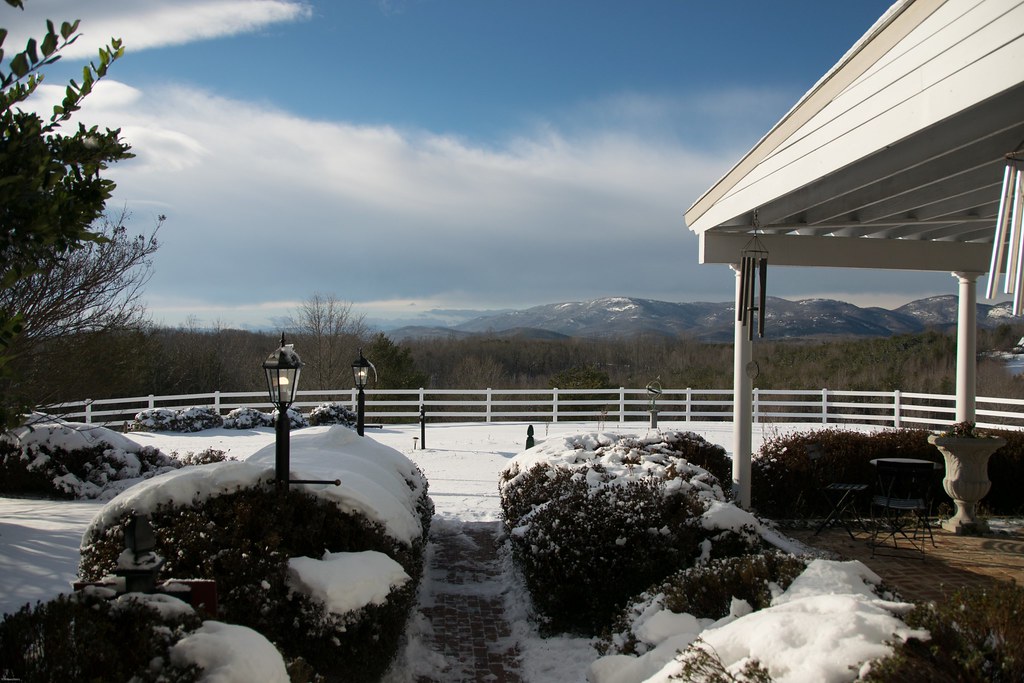
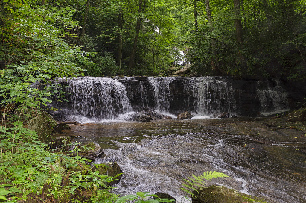
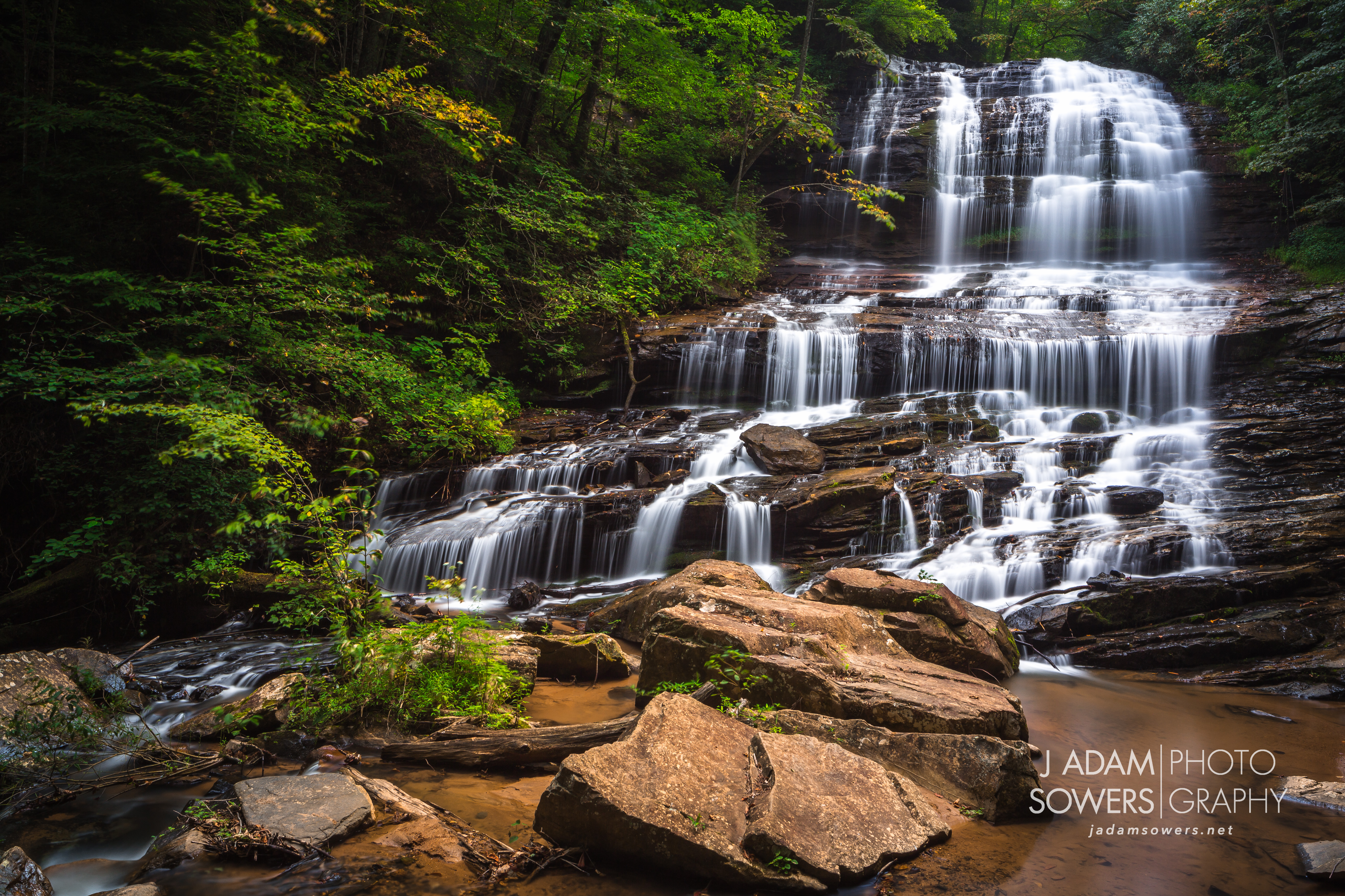
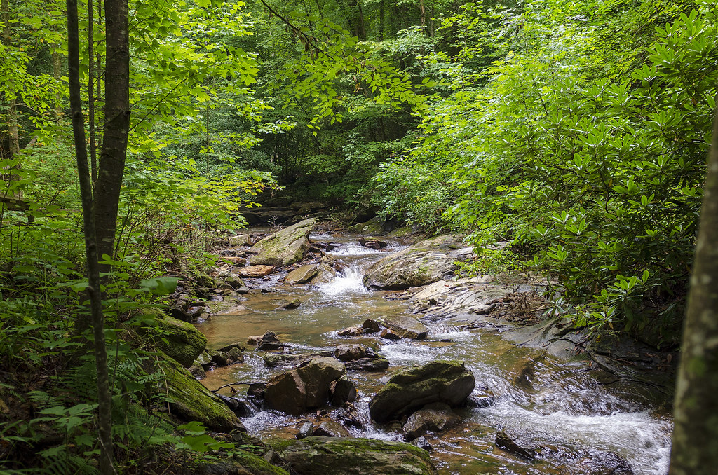
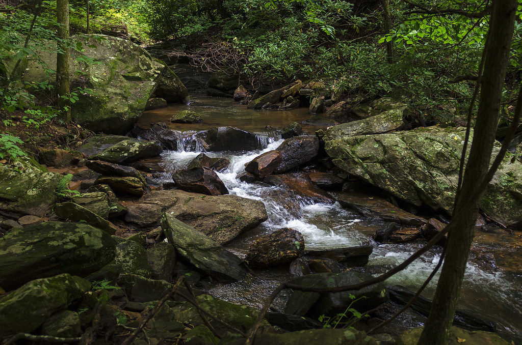
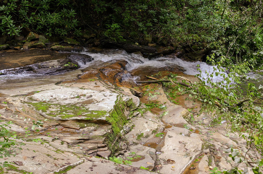
Related Photos:

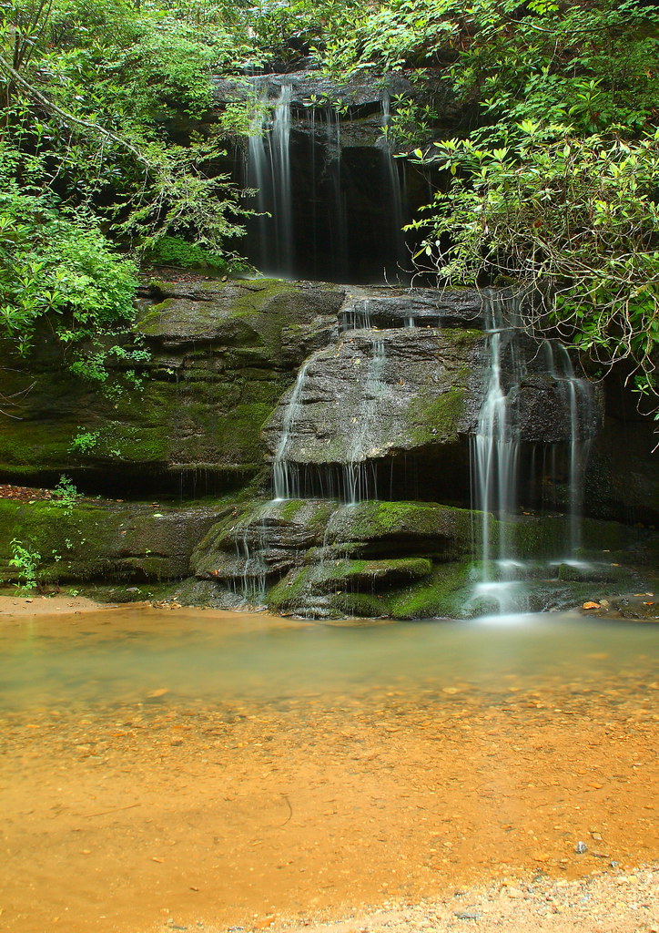
PEARSON'S FALLS BLUE RIDGE MOUNTAINS ~ N.C.
In a Hurry

Pearson Lower New Trail - Read Description
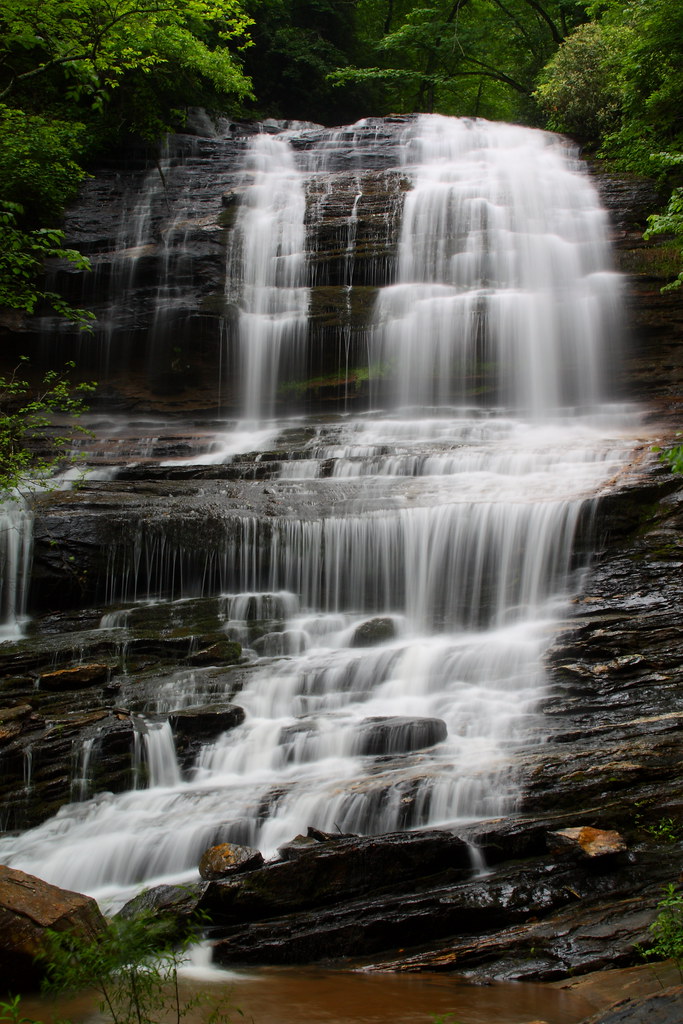
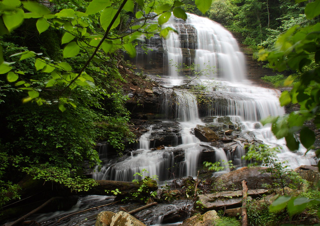
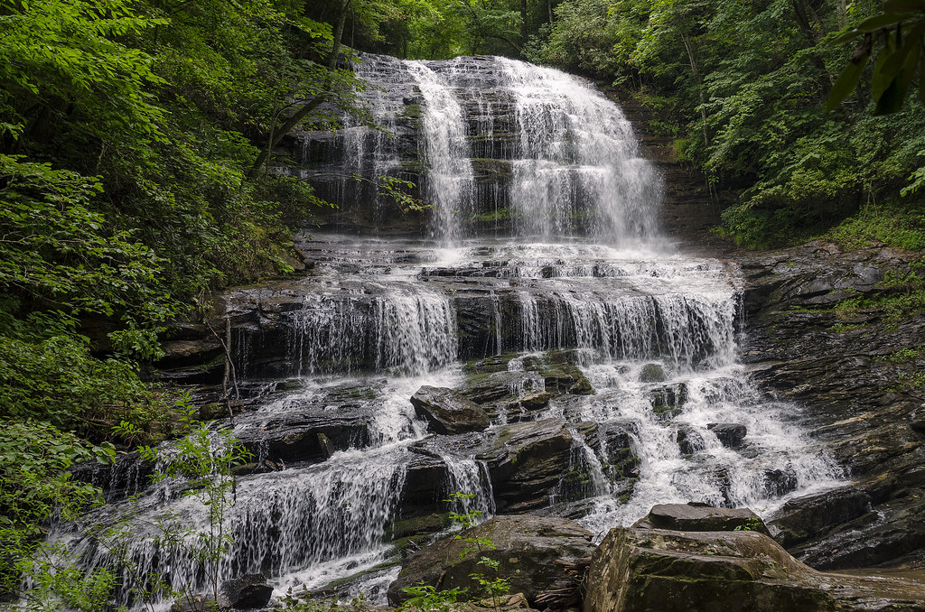
Pearson's Falls
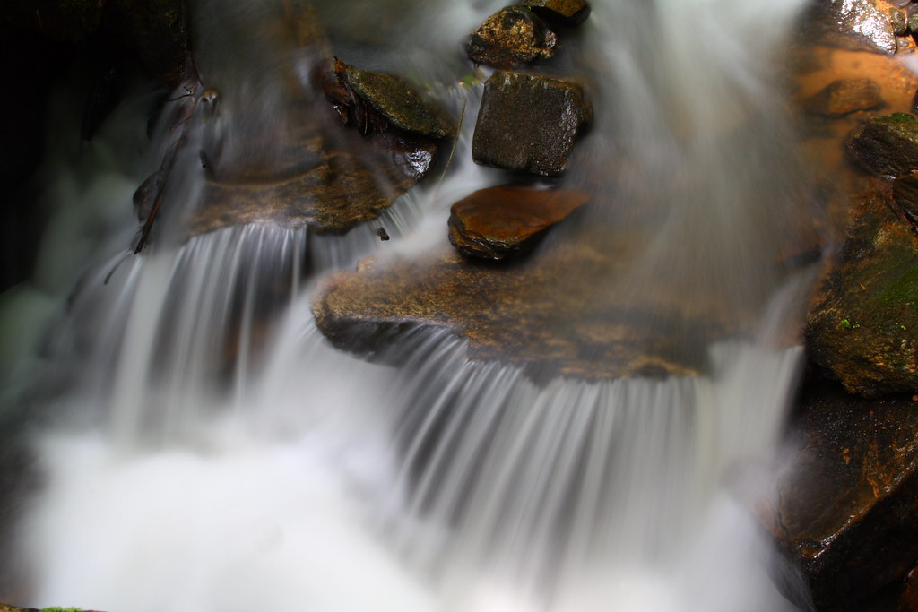
Cascading Water
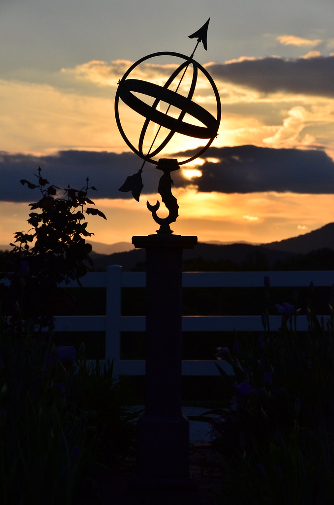
Sundial at Sunset

Autumn Mnt View with Glasses

sunset sundial

View of the drained Swimming Lake from the Boating Lake dam.

The Hayloft Cottage
Pearson's Falls-through the Trees
RHI Snow Day

Tree with Mushrooms in Landrum, SC
Sunset shadows
The Grainary Cottage
Springhouse Cottage

Once-staff members Dean Mayer and Mark Bailey view the remnants of The Boathouse, the waterfront-staff cabin where they once spent their summers on staff..
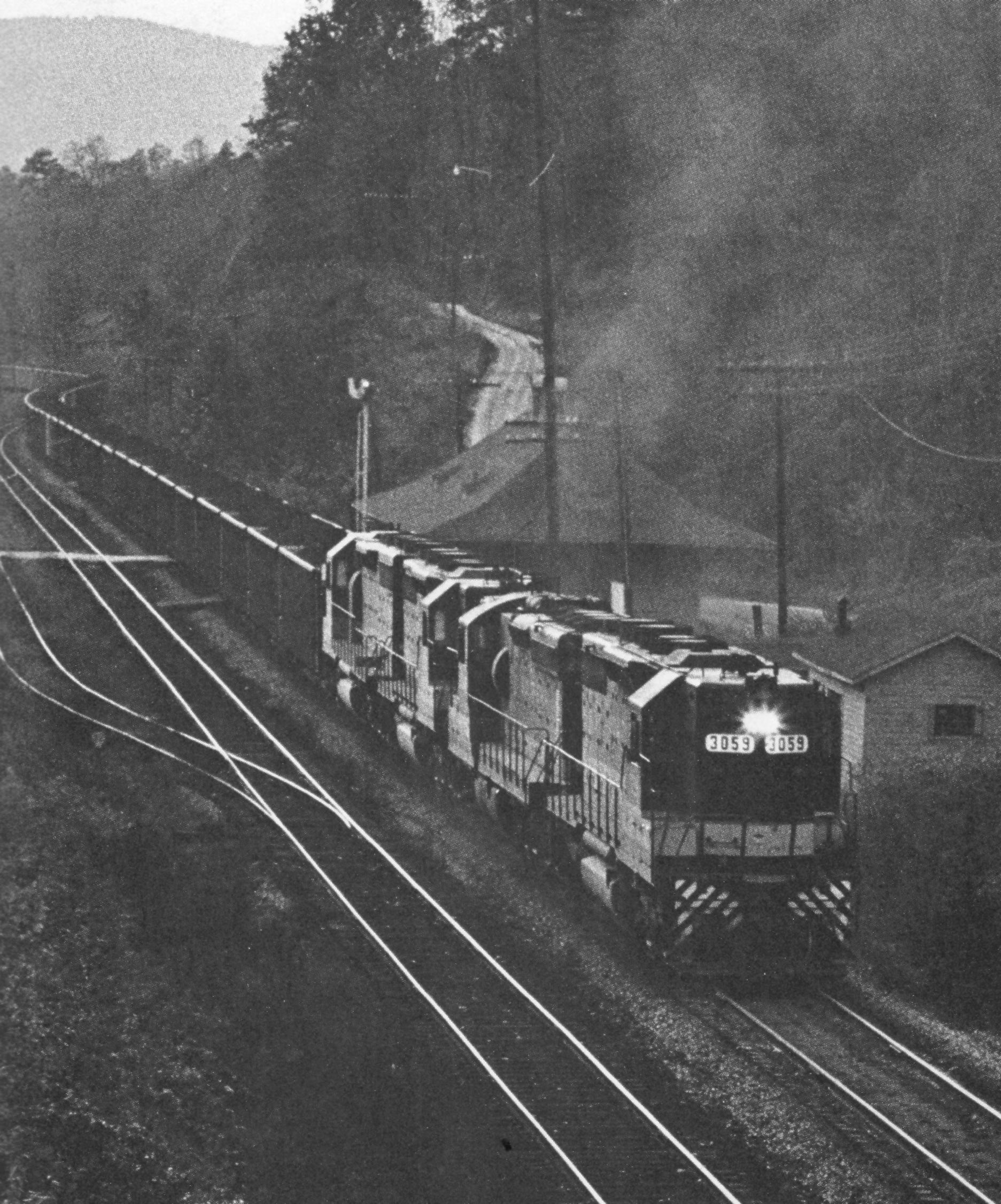
Belmont Coal Train Passing Saluda Depot, 1967
P1050575.JPG
Just a Trickle
Snowy Day
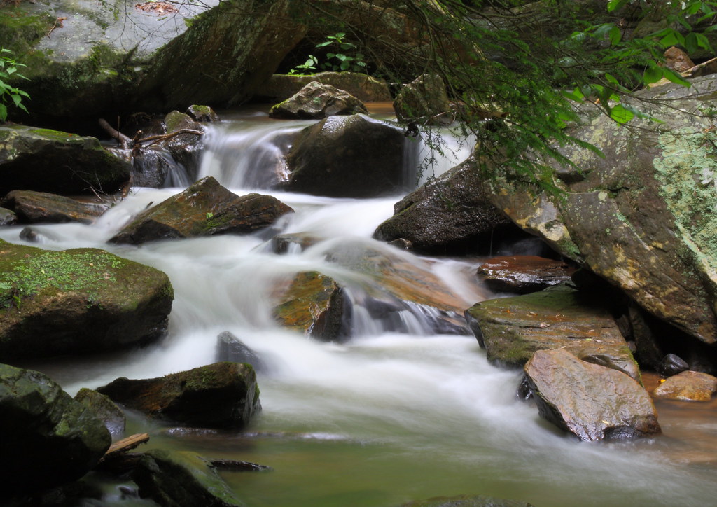
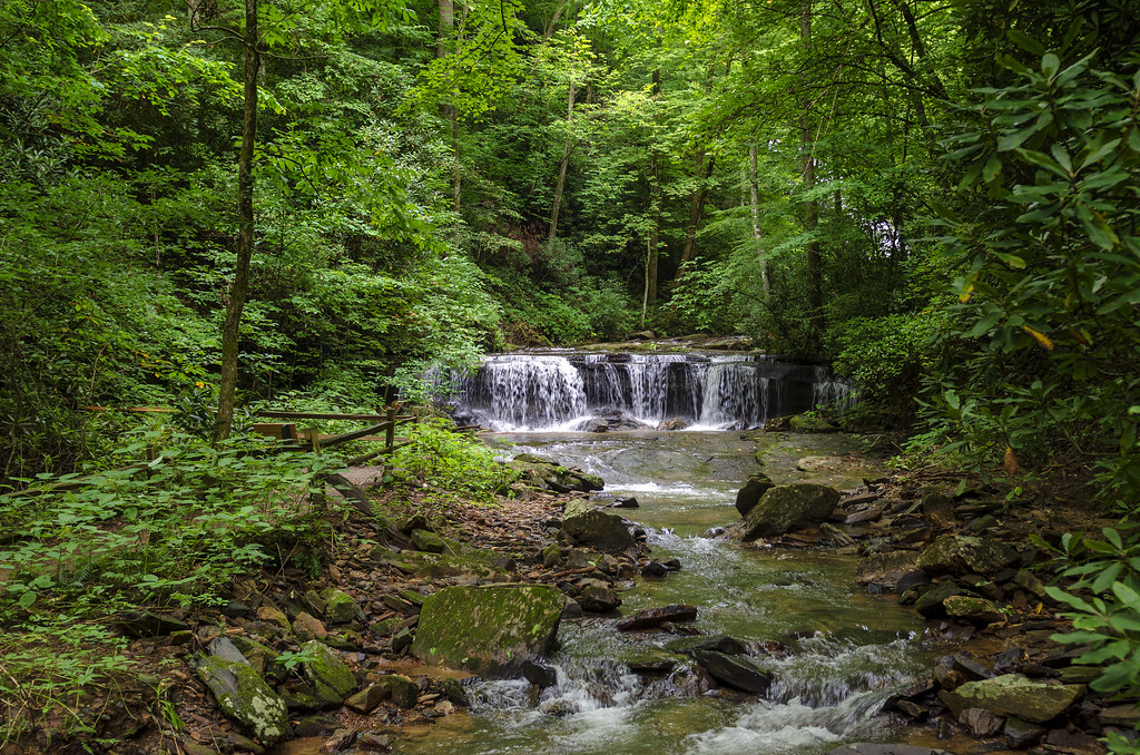
Gentle Falls on the North Pacolet River
Pearson's Falls
Gentle North Pacolet

Water Dancing on the Rocks

Early morning at DuPont Forest
North Pacolet River II
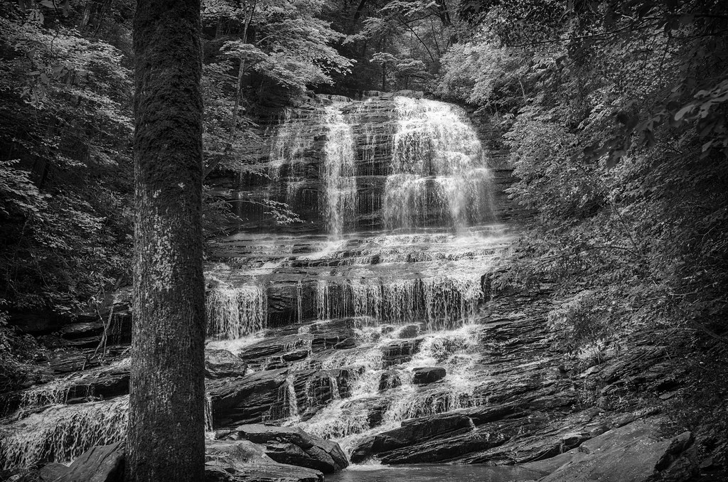
Pearson Falls - BW
Peaceful Trail
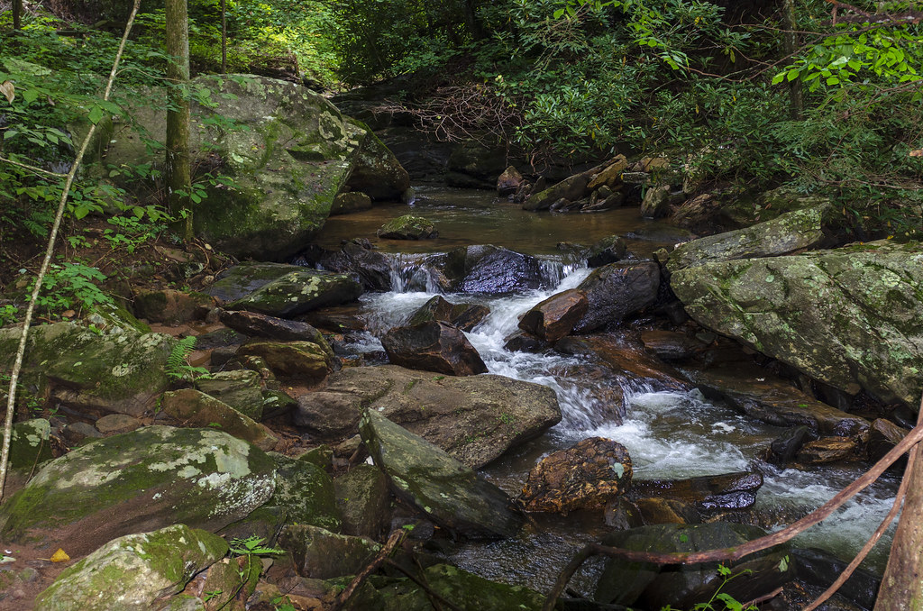
Falls Along the Pacolet

Small Waterfall at Pearson's Falls
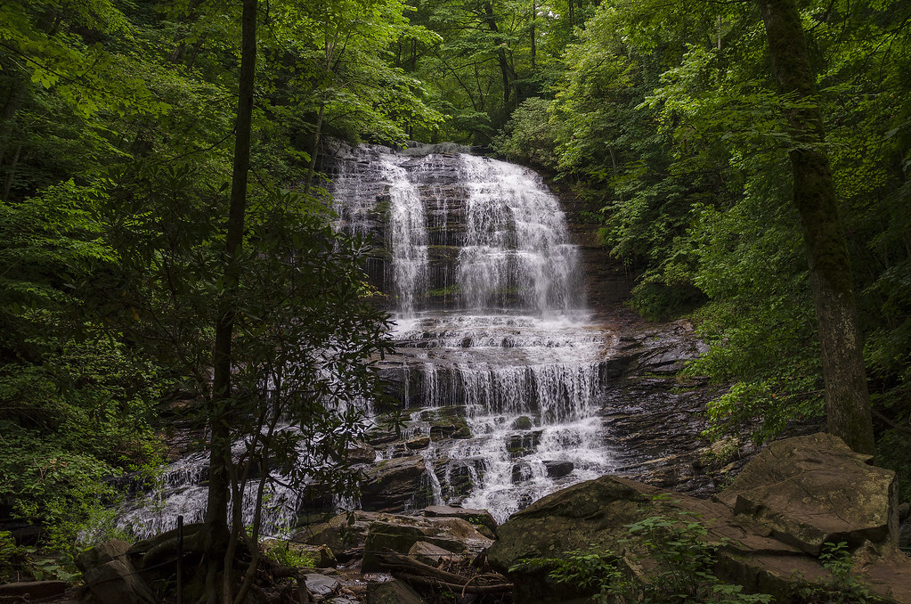
Pearson Falls

Bradley Falls creek

North Saluda Reservoir
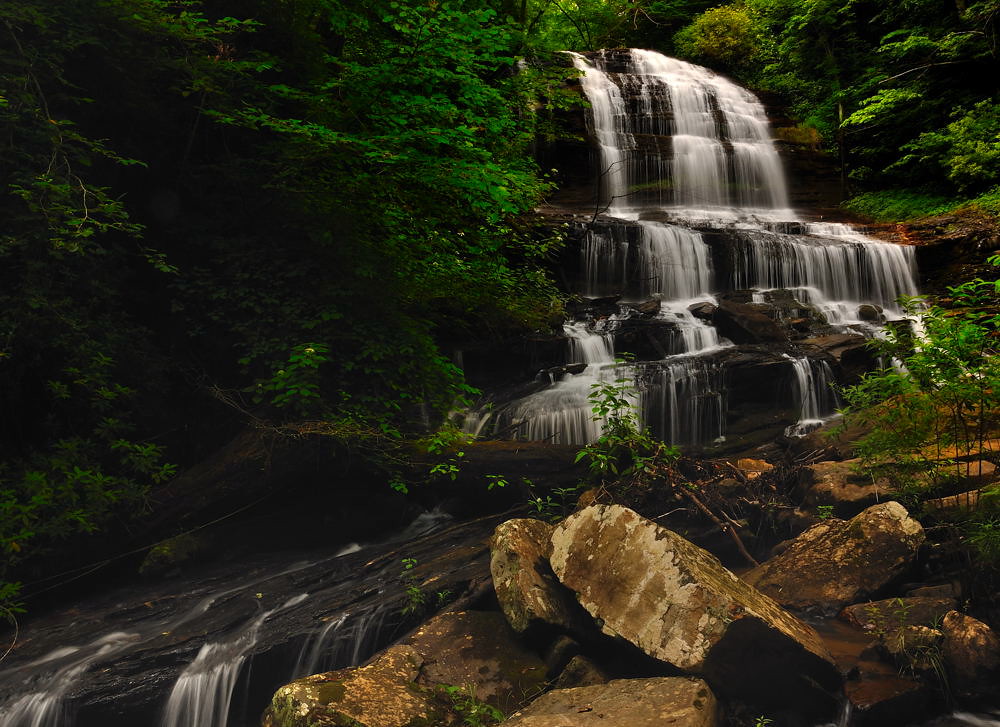
Pearson's Falls, N.C.

Pearsons Falls
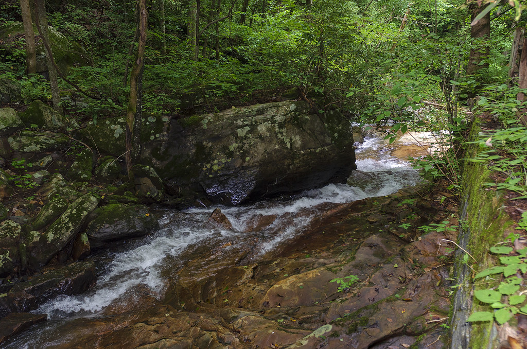
North Pacolet River III
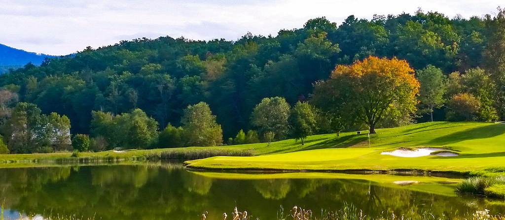
Bright's Creek Golf
North Pacolet River
Moss on River Rock
Topographic Map of Laurel Dr, Tryon, NC, USA
Find elevation by address:

Places near Laurel Dr, Tryon, NC, USA:
56 Stone Ridge Ln
93 Villa Barbara Ln
287 Pacolet Ridge Ln
125 Grady Ave
Tryon
3095 Lynn Rd
172 Wilderness Rd
315 Wilderness Rd
1151 Markham Rd
350 State Rd 1115
Tryon
364 Melrose Ave
U.s. 176
Forest Lane
434 Hogback Mountain Rd
60 Harmon Field Rd
530 Hogback Mountain Rd
335 Melrose Ave
336 Melrose Ave
448 Country Club Rd
Recent Searches:
- Elevation of Corso Fratelli Cairoli, 35, Macerata MC, Italy
- Elevation of Tallevast Rd, Sarasota, FL, USA
- Elevation of 4th St E, Sonoma, CA, USA
- Elevation of Black Hollow Rd, Pennsdale, PA, USA
- Elevation of Oakland Ave, Williamsport, PA, USA
- Elevation of Pedrógão Grande, Portugal
- Elevation of Klee Dr, Martinsburg, WV, USA
- Elevation of Via Roma, Pieranica CR, Italy
- Elevation of Tavkvetili Mountain, Georgia
- Elevation of Hartfords Bluff Cir, Mt Pleasant, SC, USA