Elevation of Latimer Hill Rd, Sharon Springs, NY, USA
Location: United States > New York > Schoharie County > Sharon > Sharon Springs >
Longitude: -74.568164
Latitude: 42.829975
Elevation: -10000m / -32808feet
Barometric Pressure: 295KPa
Elevation Map:
Satellite Map:
Related Photos:

White Sulfur Temple

Detour on the Scenic Route

Hotel Adler

Washington Hotel

162 Crosses Over Former West Shore RR, Sprakers, NY

Old Stone Church

Fort Plain

Shady Lane
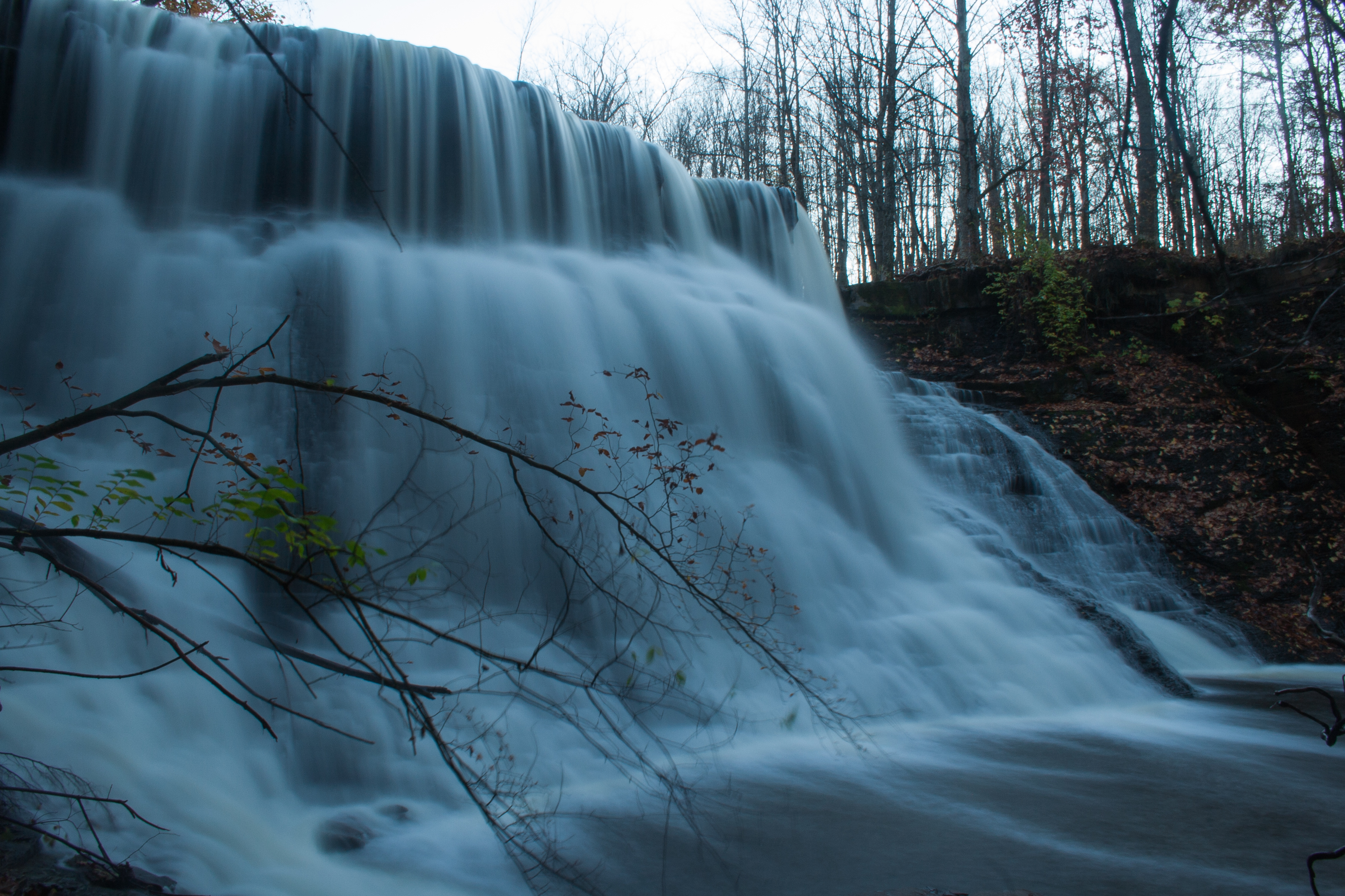
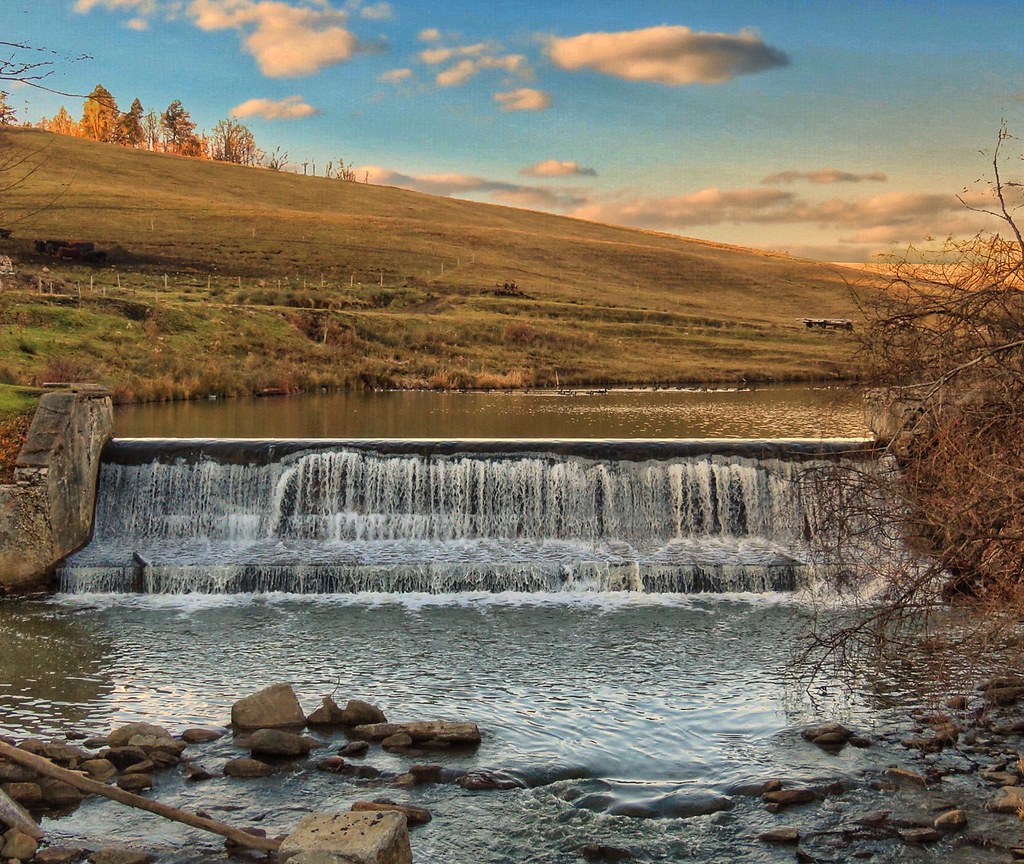
Yatesville Falls

life is strange, life is good, life is all that it should be

old barns

Casino at Clausen Farm

Victorian barns at Clausen Farm
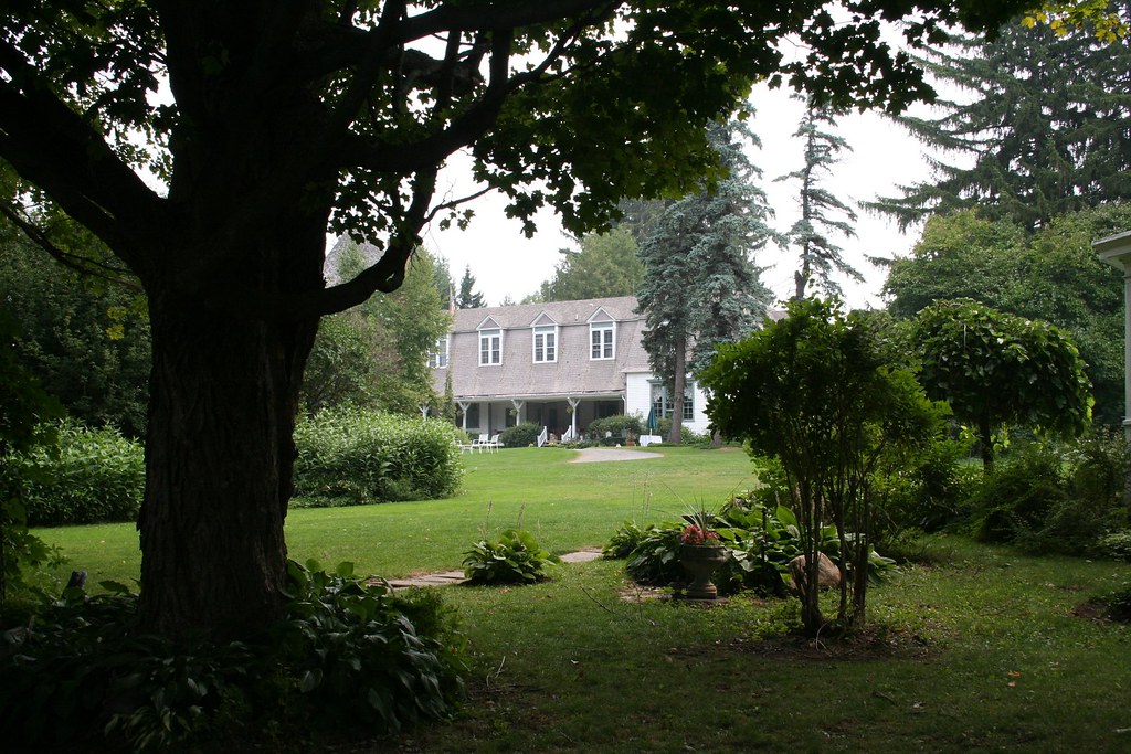
View of the Casino from Clausen manor house

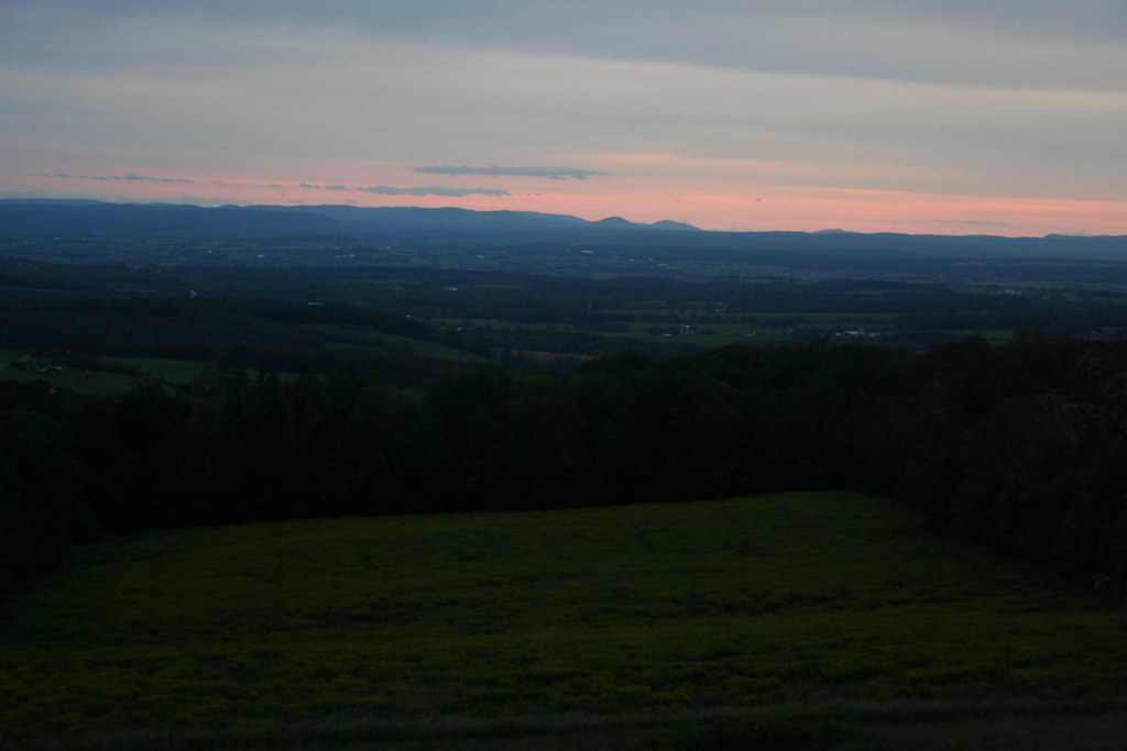
Valley views, Sharon Spings NY (Route 20)

Victorian carriage barn at Clausen Farm
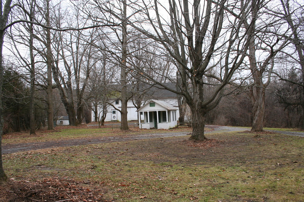
Cold and stark view of entry

Vistas of the open valley

NYC RR Depot, Fort Plain, NY

Clausen Farms 'Bird's Eye View' postcard pre-1930

Glimpses of the family compound

Canajoharie, NY

My view for today
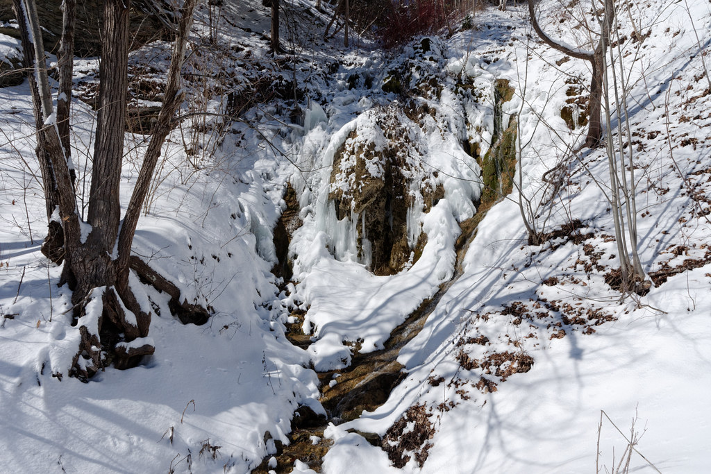
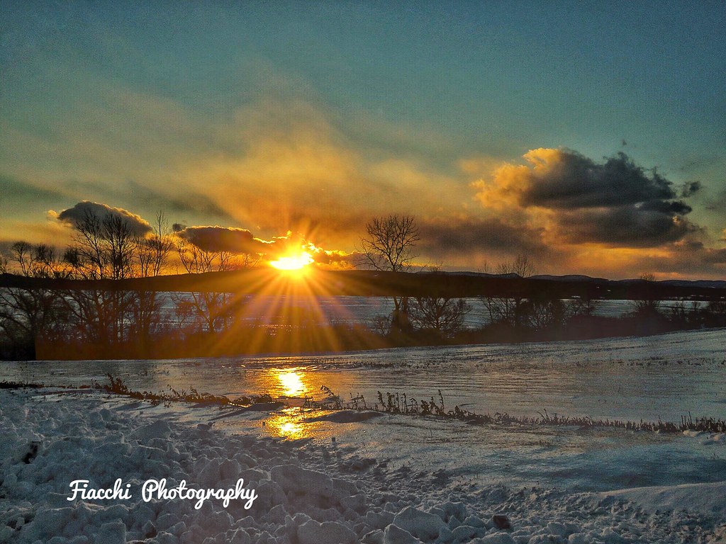
Winter Stream
Red sky at night with views from Clausen Farm

view down the Mohawk Valley

Instagram photos

Instagram pics

Instagram pics
Instagram pics
Instagram pics

Instagram pics

Instagram pics
Instagram pics

Instagram pics

Instagram pics

Instagram pics

Instagram photos

Instagram photos

Instagram pics

Instagram pics
Topographic Map of Latimer Hill Rd, Sharon Springs, NY, USA
Find elevation by address:

Places near Latimer Hill Rd, Sharon Springs, NY, USA:
Mapletown Rd, Canajoharie, NY, USA
131 Johnson St
240 Conway Rd
Ames
573 W Ames Rd
Herman Rd, Sharon Springs, NY, USA
US-20, Sharon Springs, NY, USA
Sharon Springs
431 Fredericks St
Canajoharie
368 Dygert Rd
US-20, Sharon Springs, NY, USA
687 Slate Hill Rd
Sharon
Buel Rd, Canajoharie, NY, USA
144 W Creek Rd
108 Pine Ridge Rd
NY-, Cobleskill, NY, USA
147 Park Ave
977 Ny-163
Recent Searches:
- Elevation of Corso Fratelli Cairoli, 35, Macerata MC, Italy
- Elevation of Tallevast Rd, Sarasota, FL, USA
- Elevation of 4th St E, Sonoma, CA, USA
- Elevation of Black Hollow Rd, Pennsdale, PA, USA
- Elevation of Oakland Ave, Williamsport, PA, USA
- Elevation of Pedrógão Grande, Portugal
- Elevation of Klee Dr, Martinsburg, WV, USA
- Elevation of Via Roma, Pieranica CR, Italy
- Elevation of Tavkvetili Mountain, Georgia
- Elevation of Hartfords Bluff Cir, Mt Pleasant, SC, USA