Elevation of Lapeer, NY, USA
Location: United States > New York > Cortland County > Lapeer >
Longitude: -76.098816
Latitude: 42.4420167
Elevation: 407m / 1335feet
Barometric Pressure: 97KPa
Elevation Map:
Satellite Map:
Related Photos:

Beautiful view
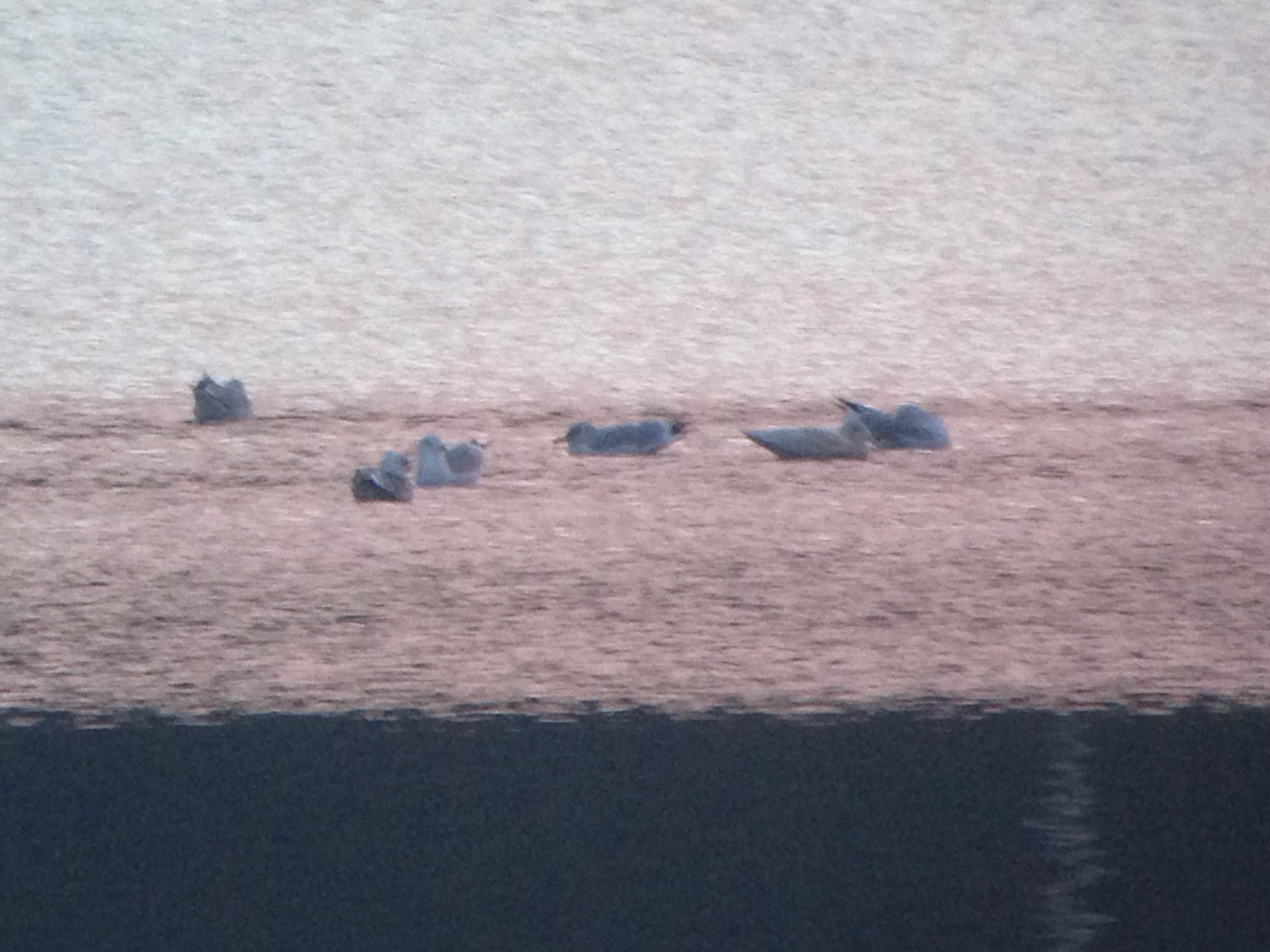
Glaucous Gull

View From Close to Base Of Tower
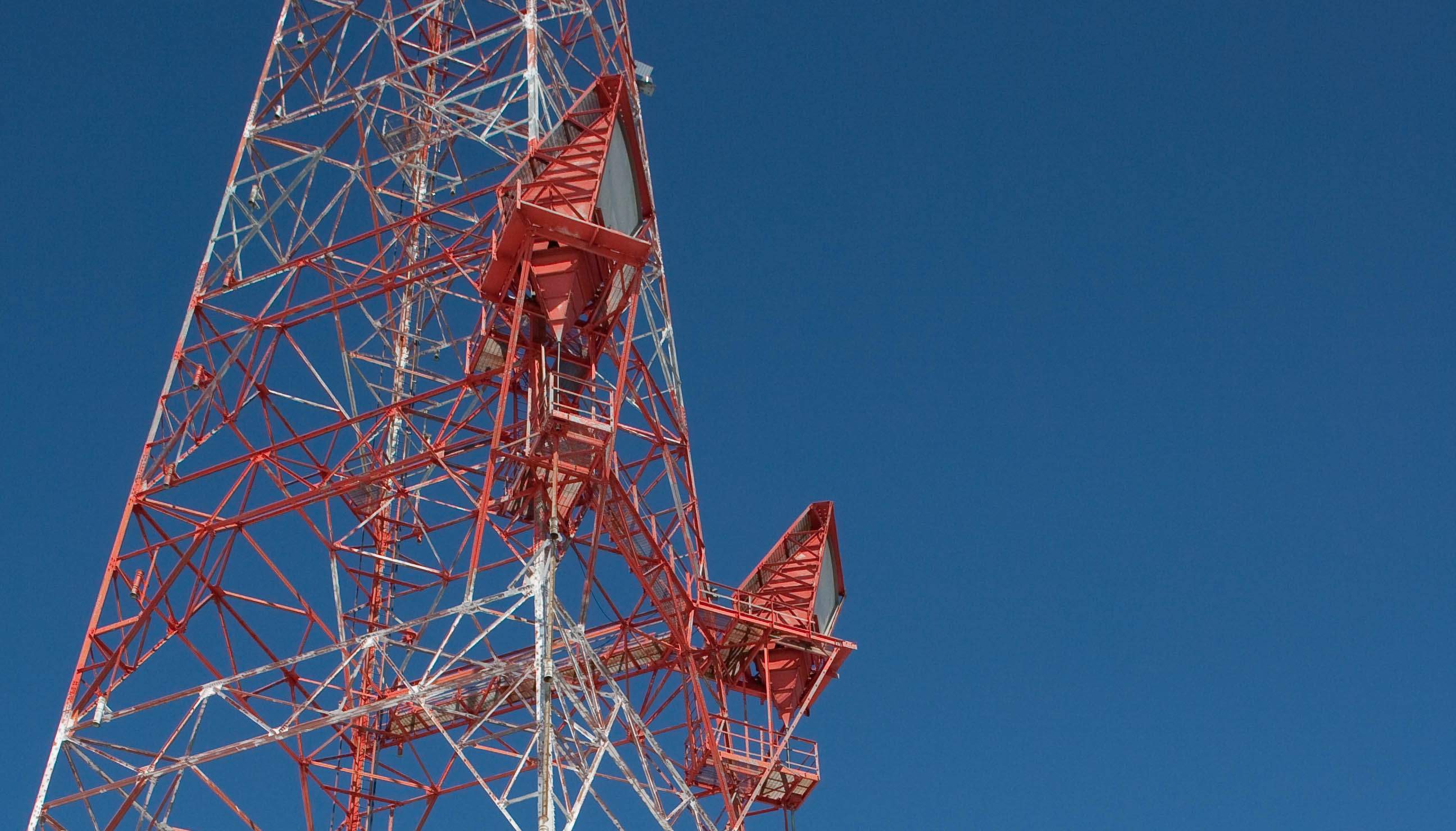
Close Up View Of Two Microwave Horns

Panoramic View to the West

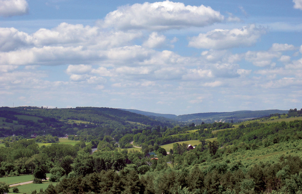
View of hills near Cortland

View from the hotel room

Glaucous Gull

Gotta Have It Boss 302

Cobra Jet

Turkey Vulture

#shredchristmasevealways #greekpeak #mondayfunday
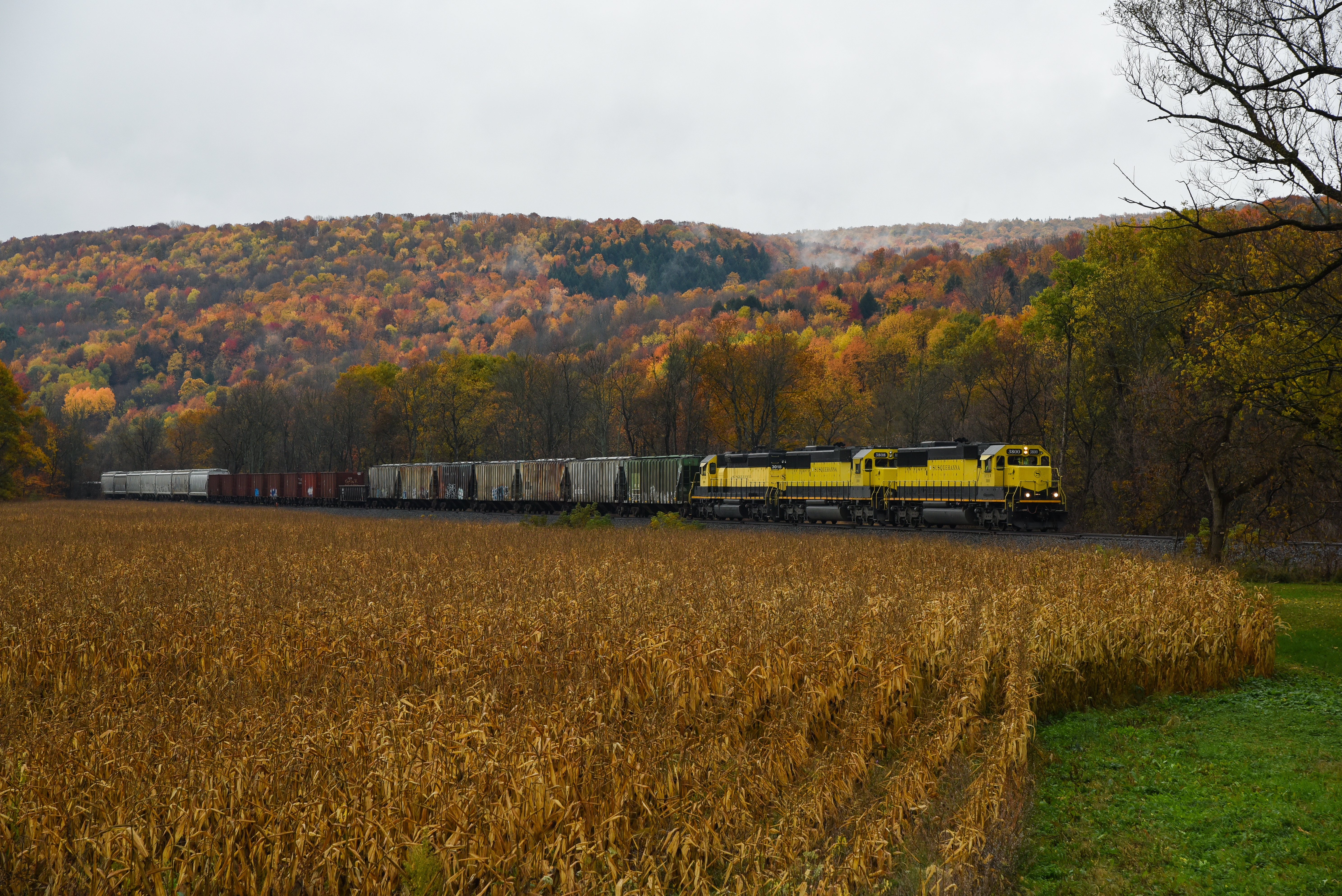
NYSW @ Blodgett Mills, NY.

Early Morning Fog
Dark Blue Skies

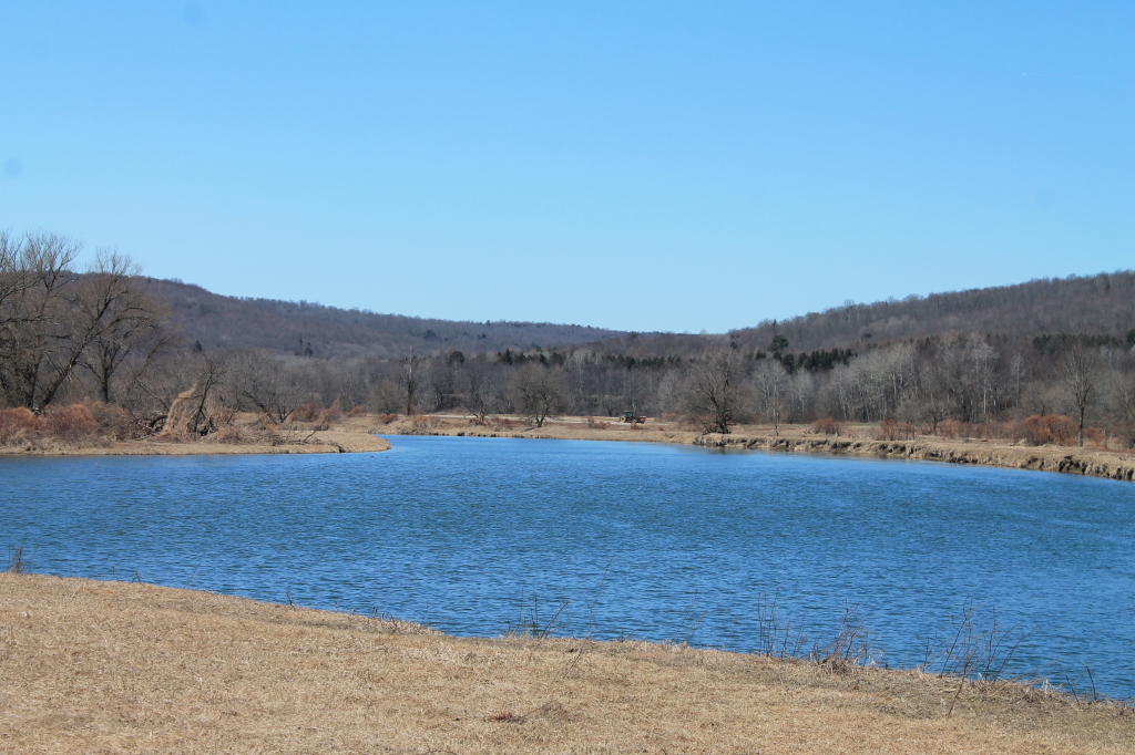
Fields Along Reservior

Kayaking/Fishing Trip in Lisle
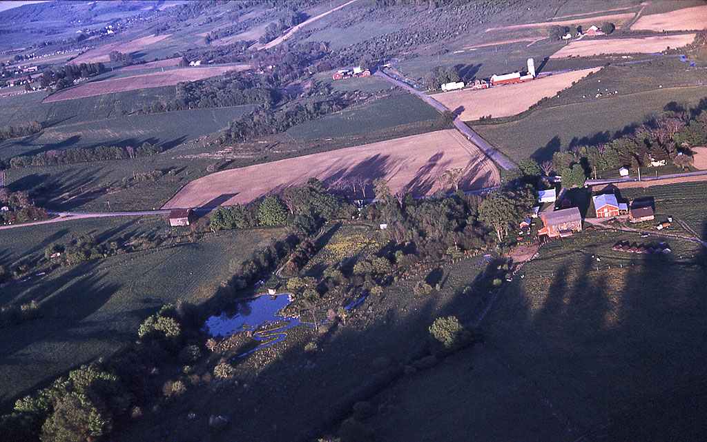
Virgil farmland

NA13-2449
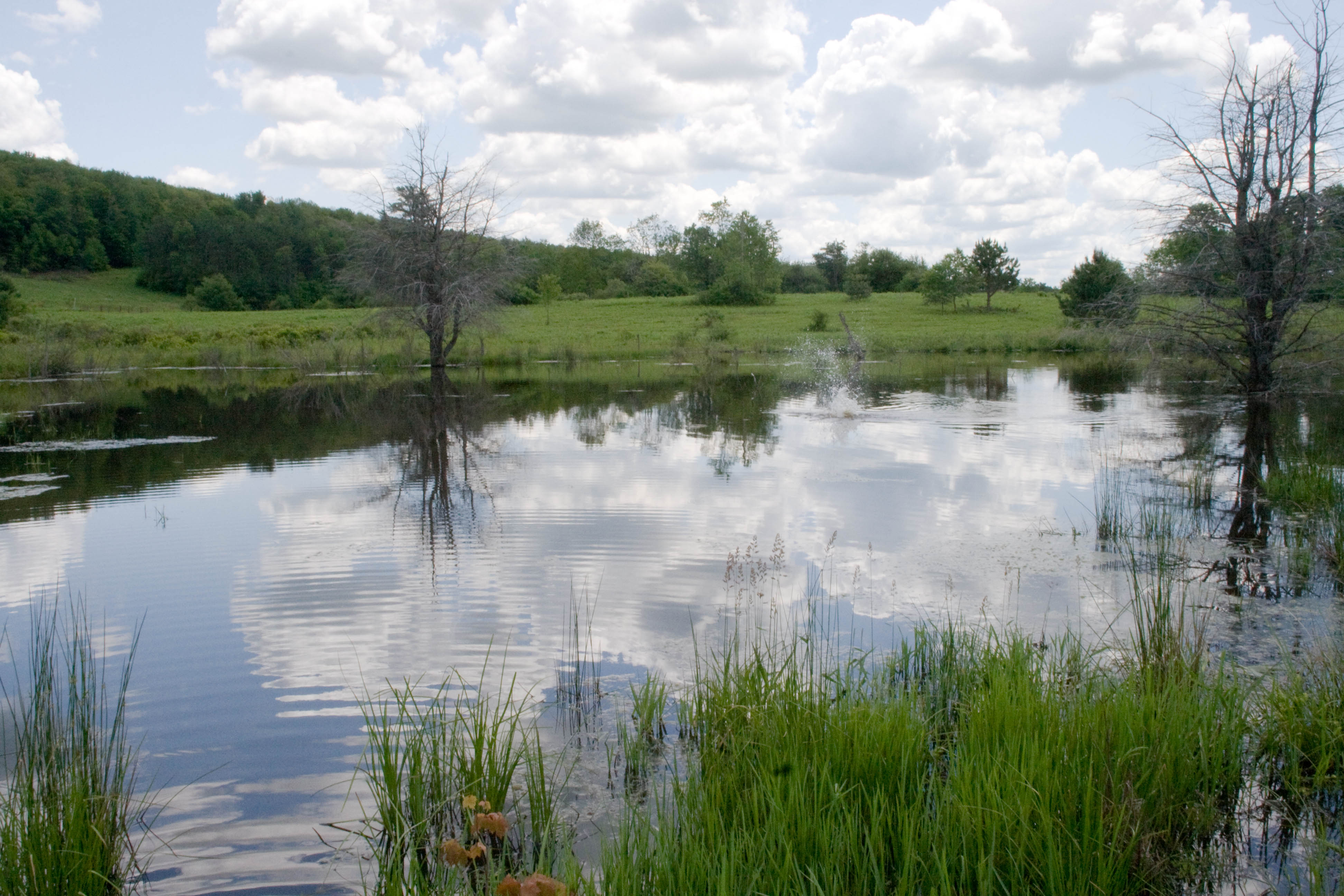
Look Closely And You'll See A Splash In This Beaver Pond: Turkey Hill State Forest
Fields Along Reservior
Looks Nice For Paddling
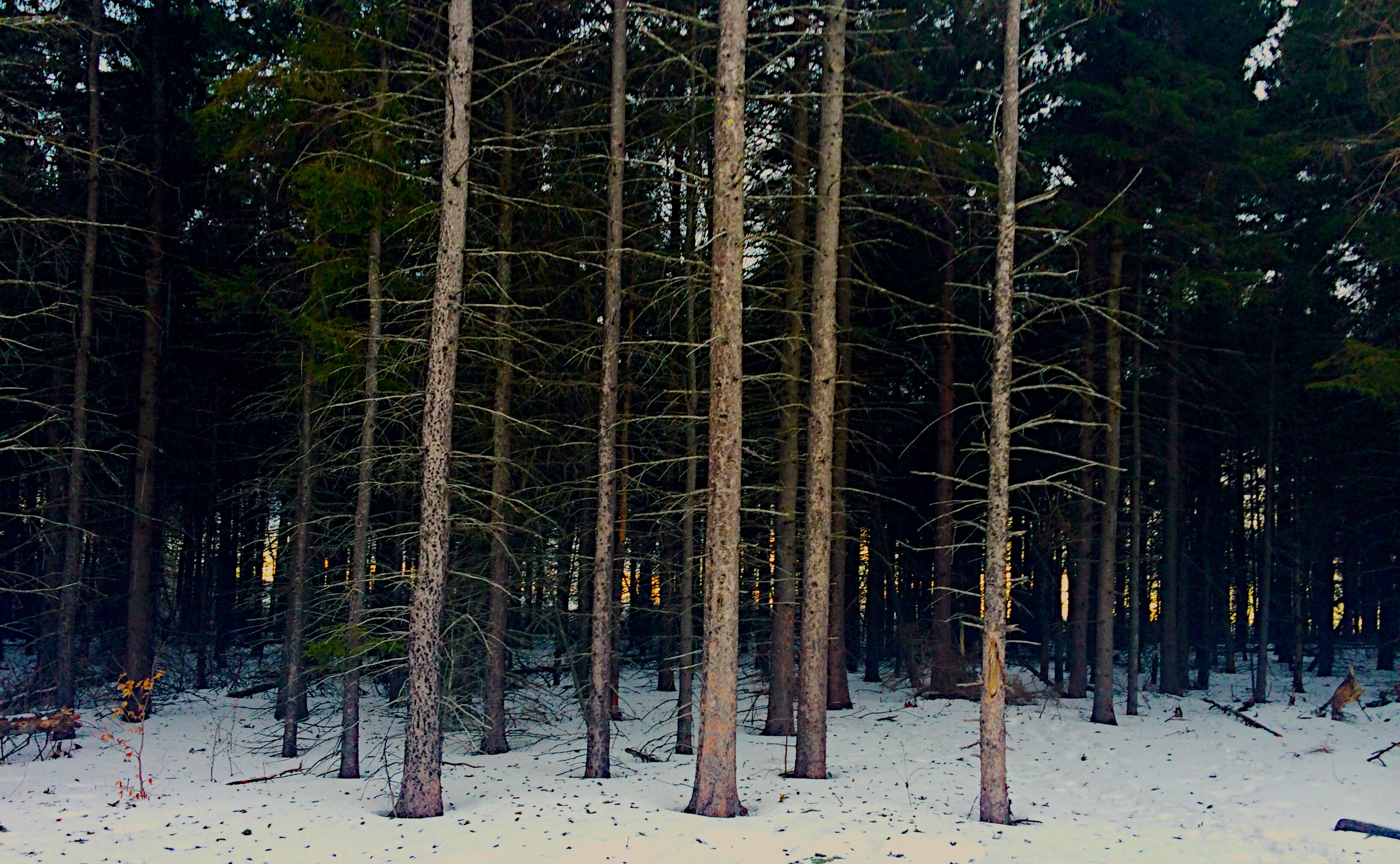
The Forbidden Forest Aflame
upstate ny

Farm Along Ostelic River
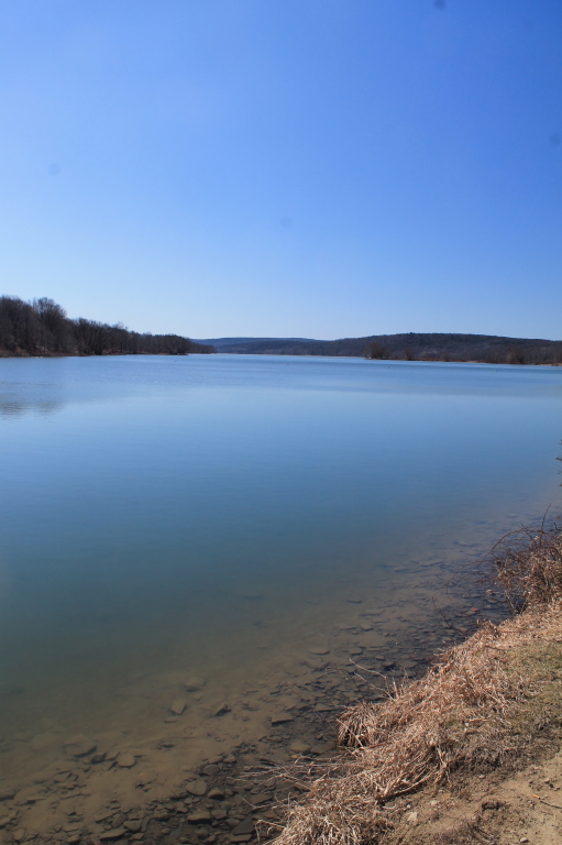
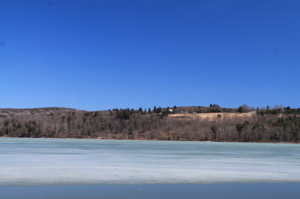
Whitney Point Reservior from Upper Lisle
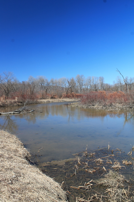
Wetlands Along Reservior
North Along the River
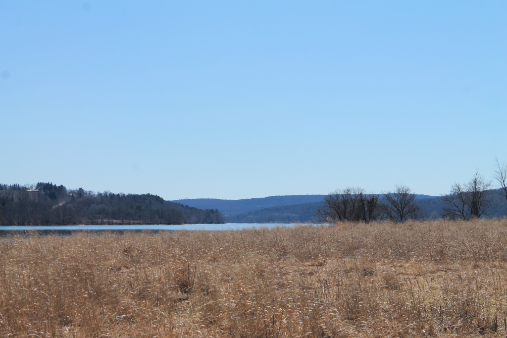
Marshy Floodplain
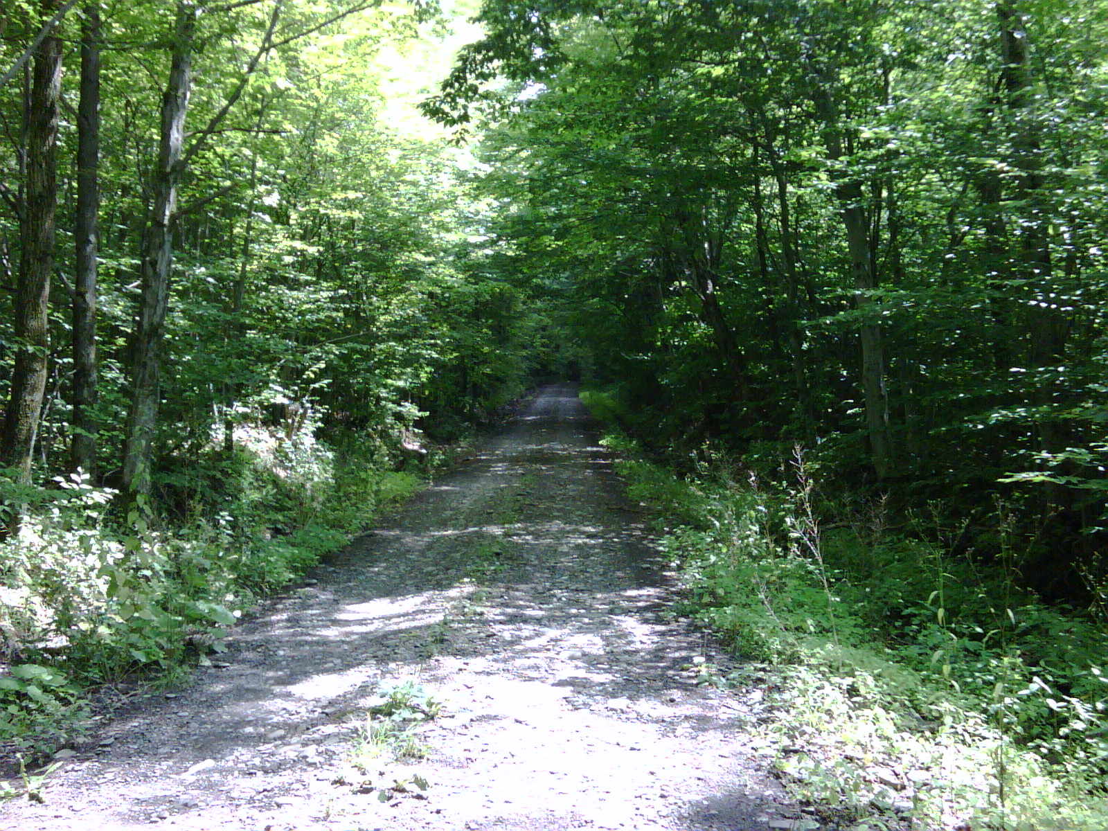
Pipeline Rd - Typical Conditions
Topographic Map of Lapeer, NY, USA
Find elevation by address:

Places near Lapeer, NY, USA:
Clarks Corners Rd, Marathon, NY, USA
Lapeer
2235 Clarks Corners Rd
Marathon, NY, USA
1283 Muster Rd
Messengerville
Marathon
Lisle
2153 Merihew Rd
Greek Peak Mountain Resort
Virgil
368 Michigan Hill Rd
Harford
2119 Carter Slocum Rd
Virgil
Richford
2153 Ny-215
Freetown
Creamery Road
2534 E Freetown Texas Valley Rd
Recent Searches:
- Elevation of Corso Fratelli Cairoli, 35, Macerata MC, Italy
- Elevation of Tallevast Rd, Sarasota, FL, USA
- Elevation of 4th St E, Sonoma, CA, USA
- Elevation of Black Hollow Rd, Pennsdale, PA, USA
- Elevation of Oakland Ave, Williamsport, PA, USA
- Elevation of Pedrógão Grande, Portugal
- Elevation of Klee Dr, Martinsburg, WV, USA
- Elevation of Via Roma, Pieranica CR, Italy
- Elevation of Tavkvetili Mountain, Georgia
- Elevation of Hartfords Bluff Cir, Mt Pleasant, SC, USA