Elevation of Lapche Kang I, Tingri, Xigaze, China
Location: China > Tibet > Xigaze > Tingri >
Longitude: 86.3508333
Latitude: 28.3041666
Elevation: 6952m / 22808feet
Barometric Pressure: 41KPa
Elevation Map:
Satellite Map:
Related Photos:
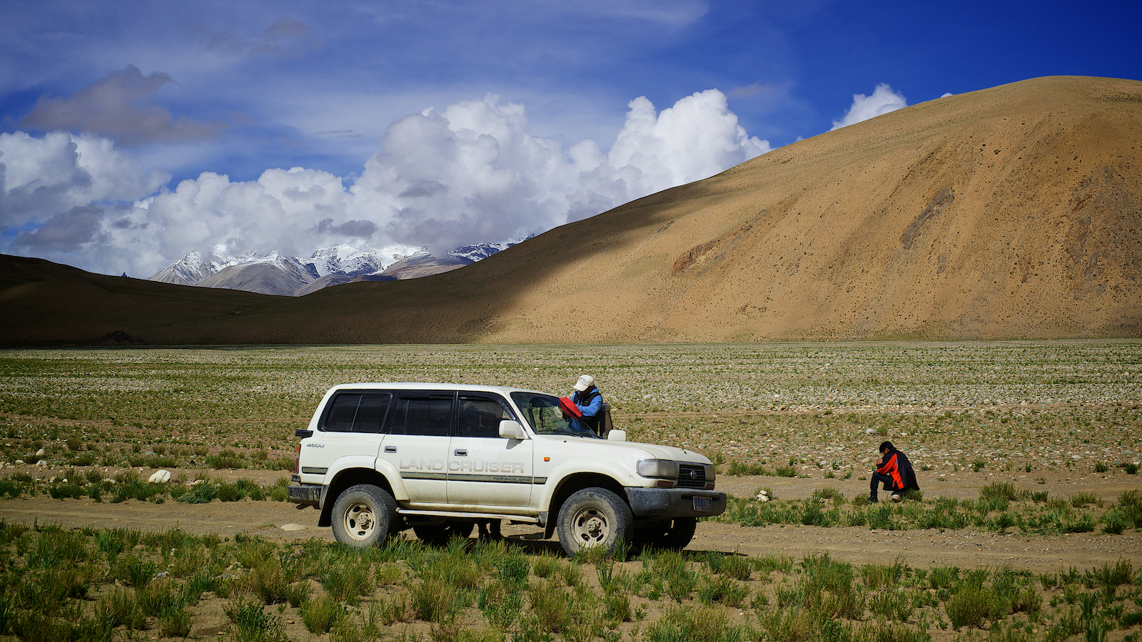
Car in tibetan desert plateau, Tibet
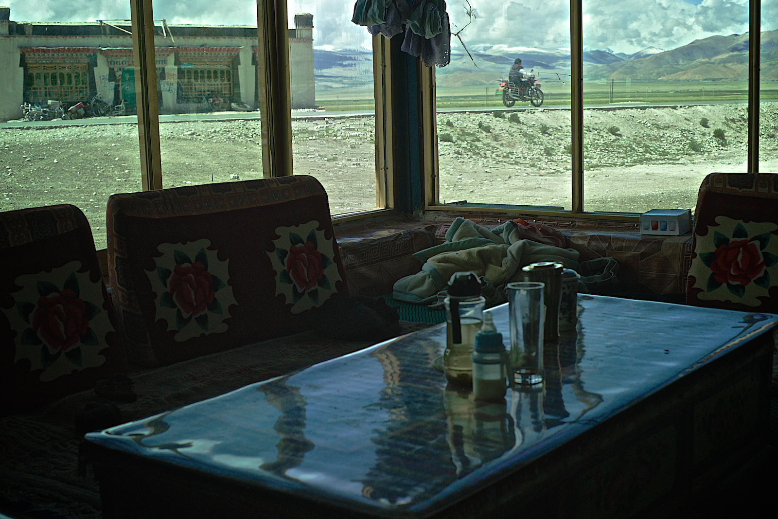
Tibetan motorbike rider - Friendship Highway, Tibet, China - Version 2
Topographic Map of Lapche Kang I, Tingri, Xigaze, China
Find elevation by address:

Places near Lapche Kang I, Tingri, Xigaze, China:
Recent Searches:
- Elevation of Corso Fratelli Cairoli, 35, Macerata MC, Italy
- Elevation of Tallevast Rd, Sarasota, FL, USA
- Elevation of 4th St E, Sonoma, CA, USA
- Elevation of Black Hollow Rd, Pennsdale, PA, USA
- Elevation of Oakland Ave, Williamsport, PA, USA
- Elevation of Pedrógão Grande, Portugal
- Elevation of Klee Dr, Martinsburg, WV, USA
- Elevation of Via Roma, Pieranica CR, Italy
- Elevation of Tavkvetili Mountain, Georgia
- Elevation of Hartfords Bluff Cir, Mt Pleasant, SC, USA