Elevation of Langford Budville, Wellington TA21, UK
Location: United Kingdom > England > Somerset >
Longitude: -3.265467
Latitude: 50.998769
Elevation: 108m / 354feet
Barometric Pressure: 100KPa
Elevation Map:
Satellite Map:
Related Photos:

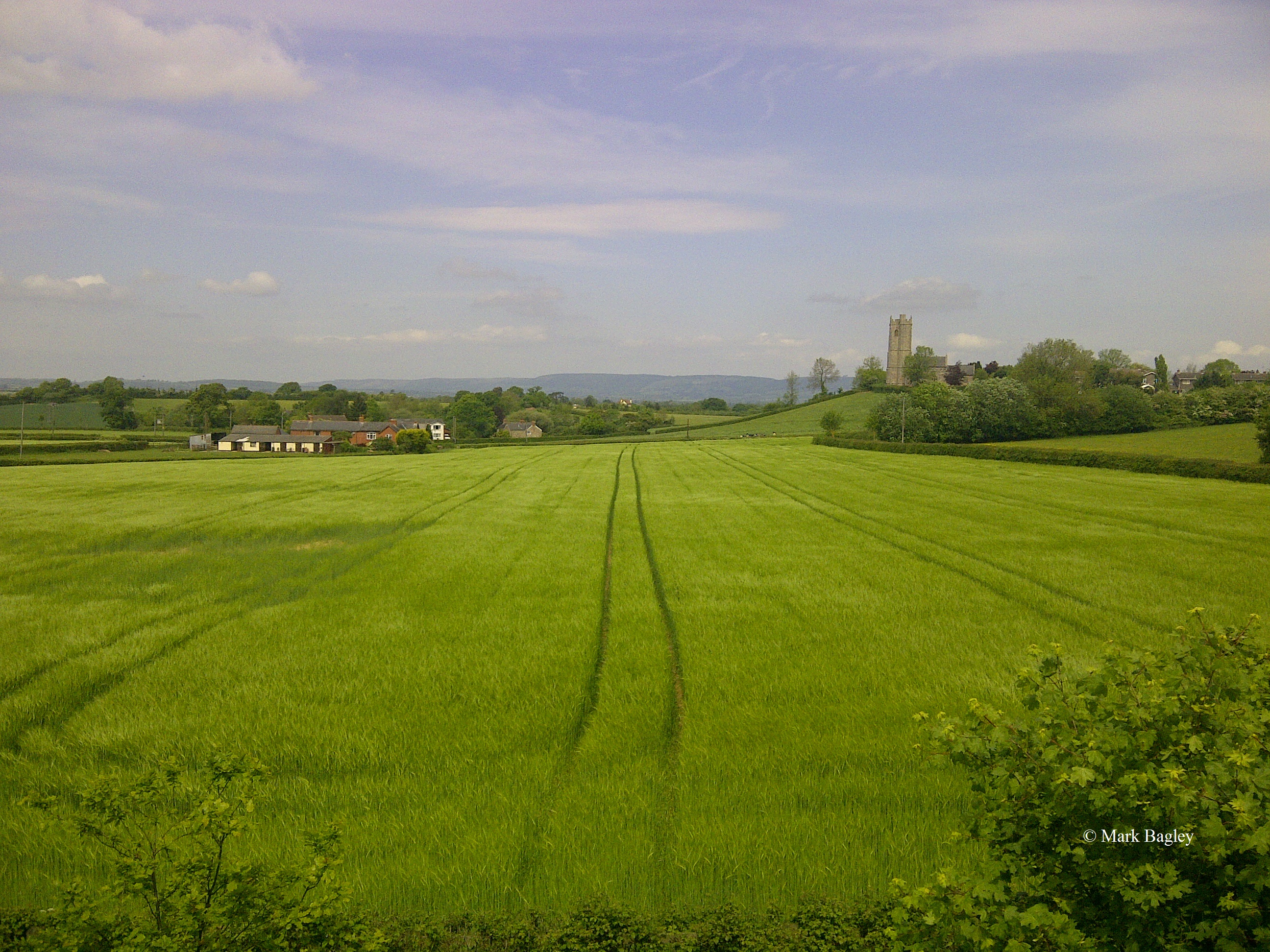
Shades of Autumn

View from The Drove

Evening Light

A Seat in the Sun

All Saints Church, Aisholt (3)
another view of Wimbleball in a drop

FGW - 43146 - Tiverton Parkway Foot Crossing

Day 214 of 365

Intense redhead.

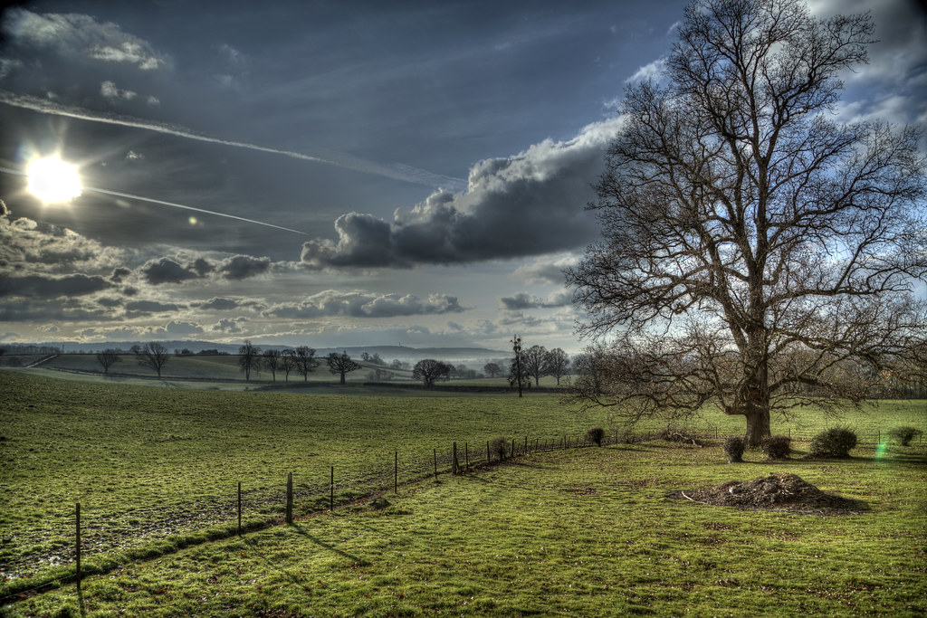
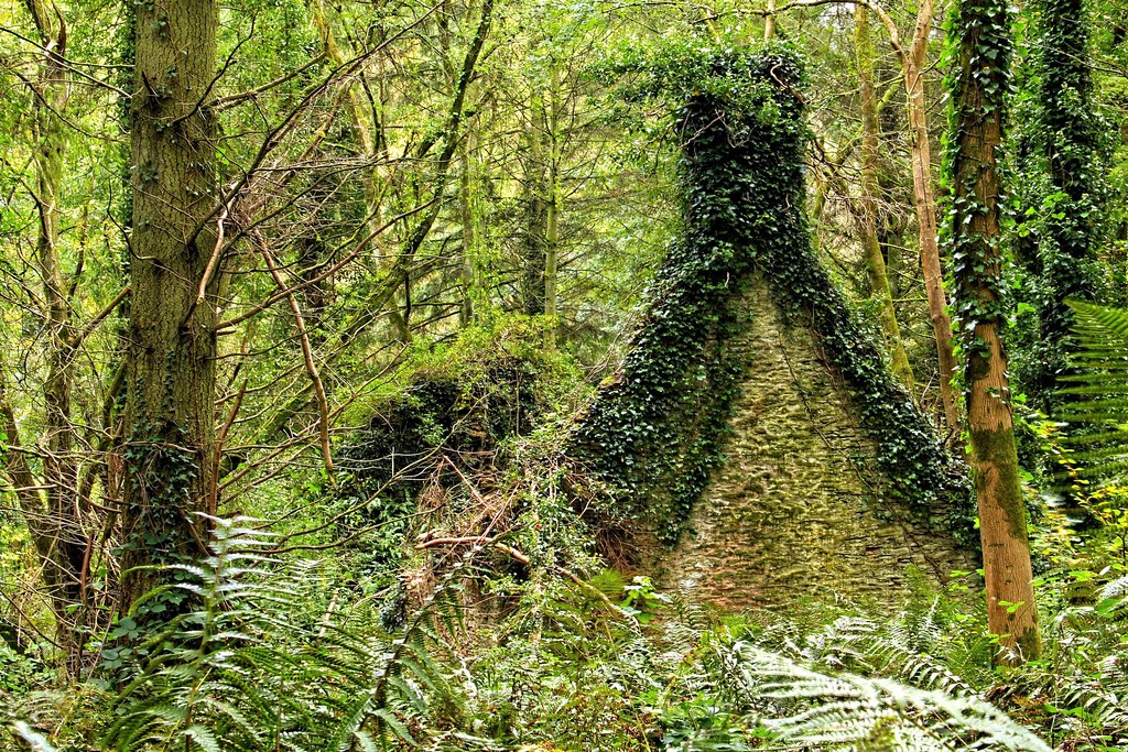
If You Go Down to the Woods Today
18.6.15 - Lit Up

First Group new livery
'5MT' at Watersmeet

The Kings Arms.

The past is a foreign Country: they do things differently there.

Quantock evening
Toytown!

Racial tension ?

TEMPLE ARBOUR , HESTERCOMBE
The C Road

Duck's Eye View

Green & Brown

A gate in the woods

Middle Hill

The Quantocks

The definitive Middle of the Road

Sunset Jumper 4

Grand Western Canal EXPLORED
Somerset Winter

Out of bounds
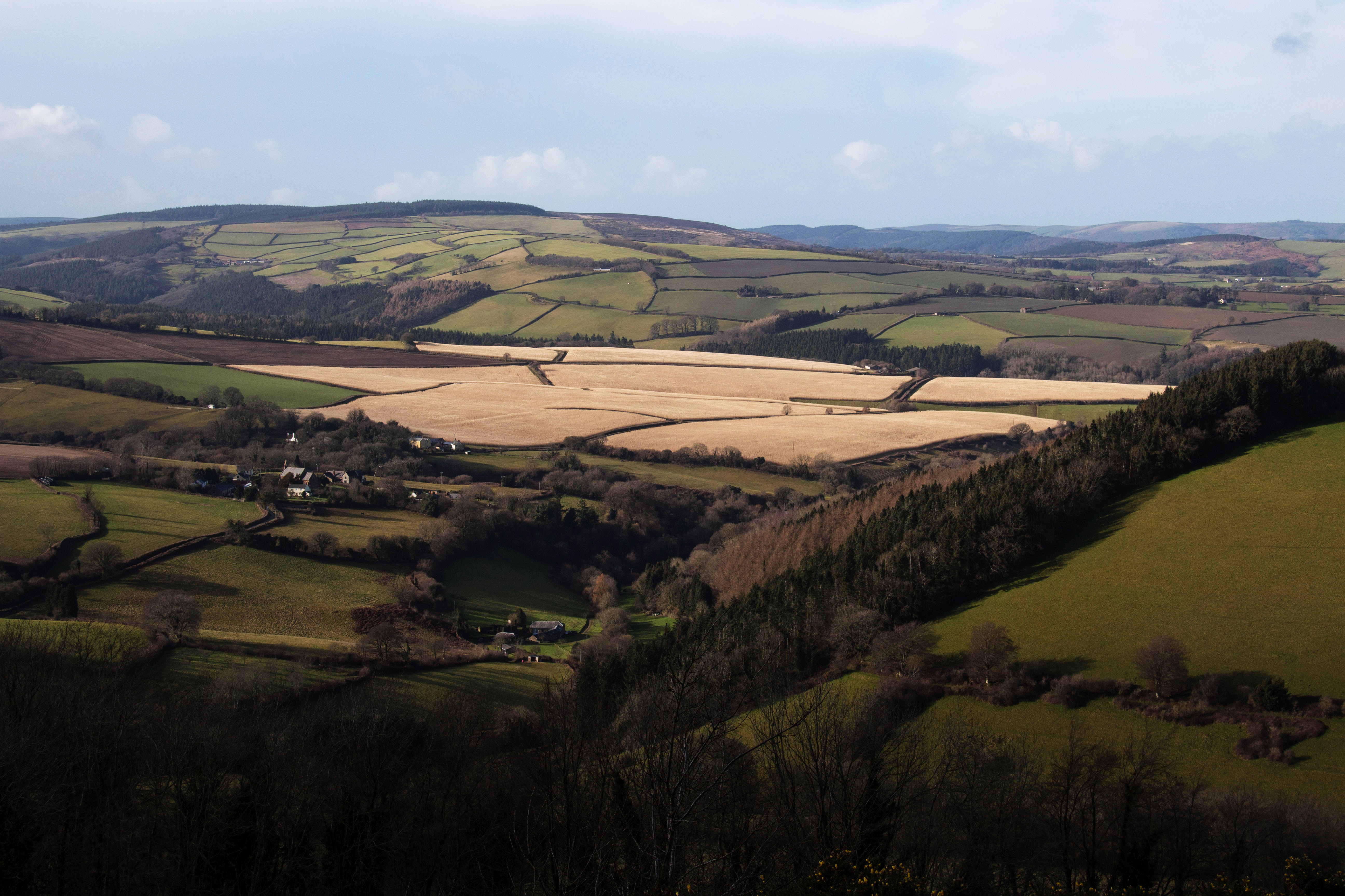
A Dry Walk After All!
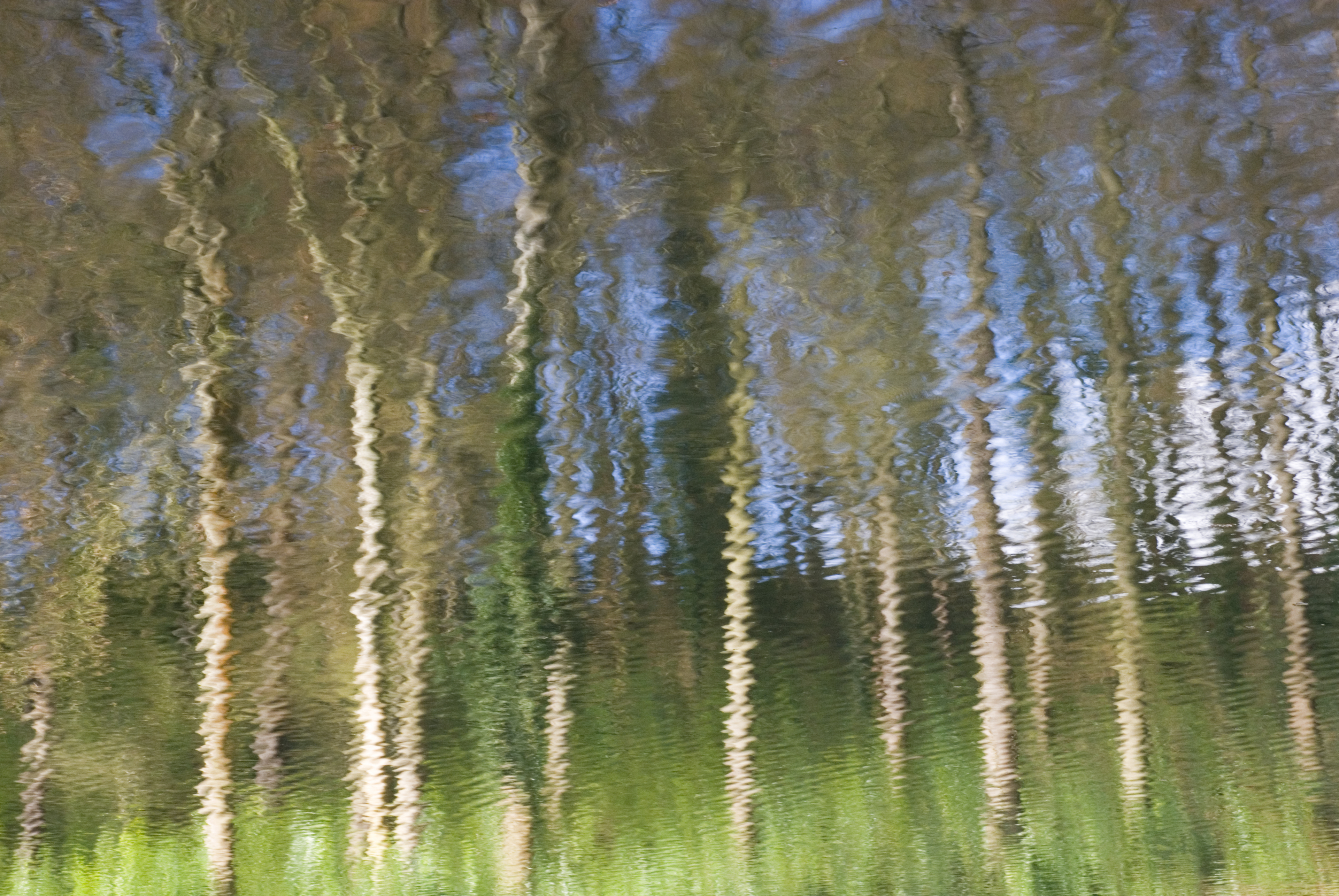
reflection of trees 2

Dotted bee-fly in flight
Quantock farmstead
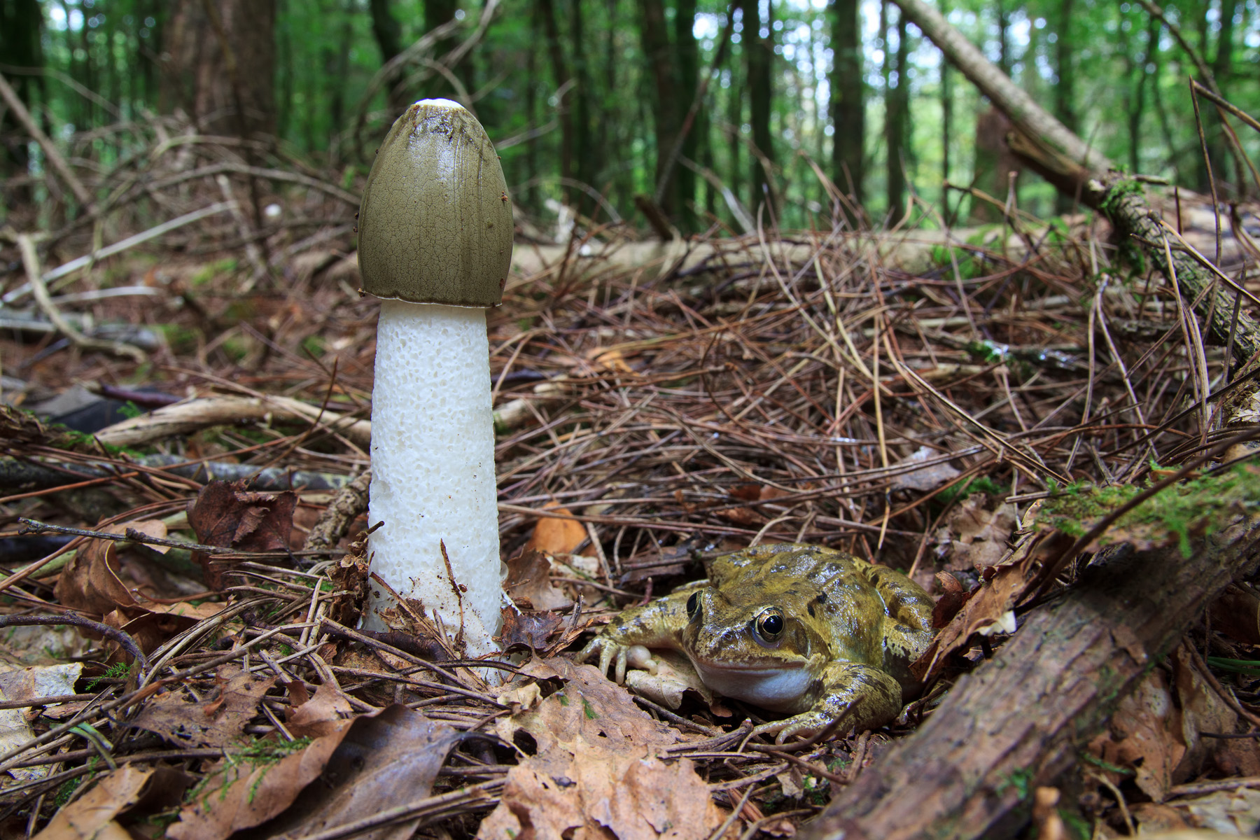
Smart frog!
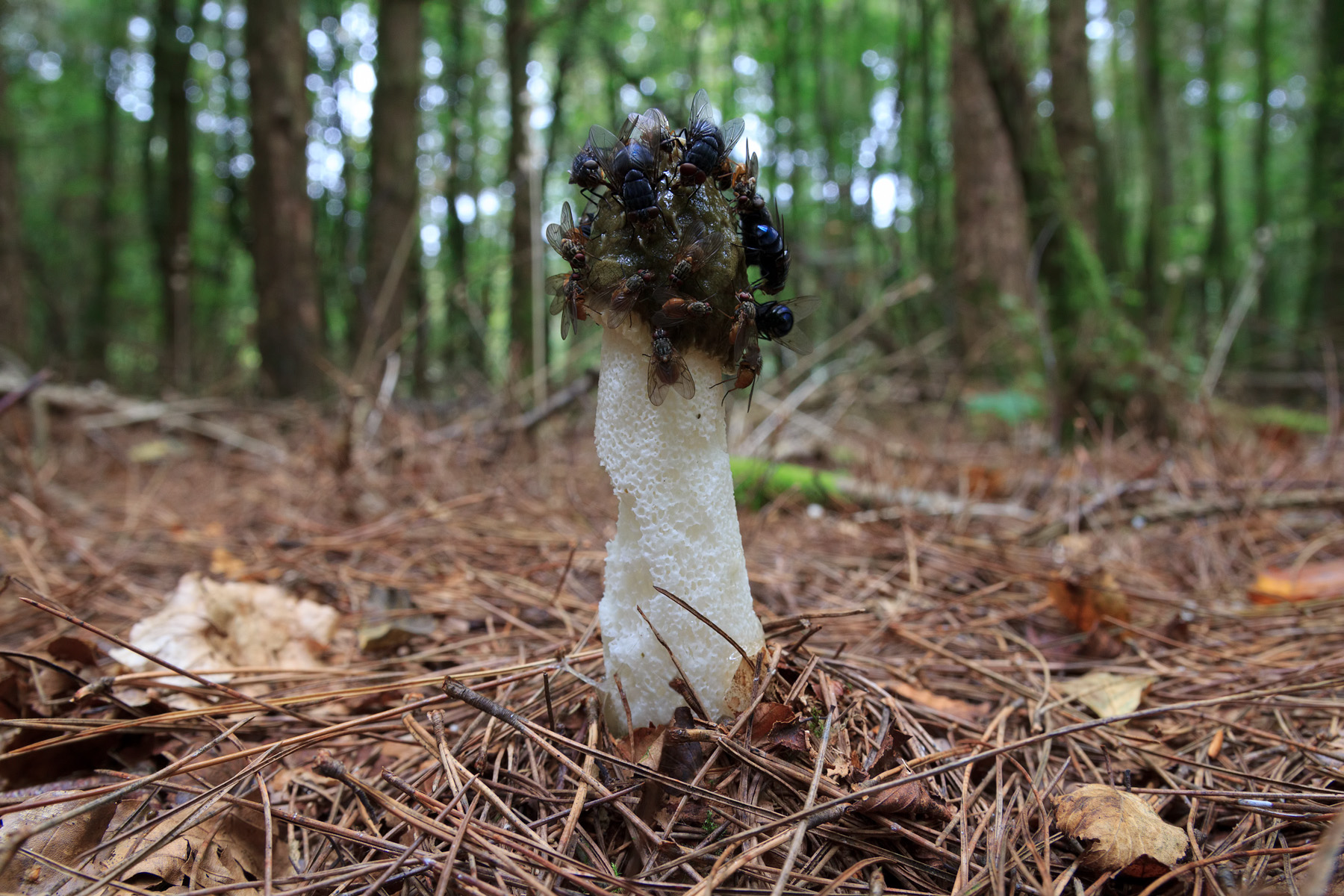
Stinkhorn and flies
Topographic Map of Langford Budville, Wellington TA21, UK
Find elevation by address:

Places in Langford Budville, Wellington TA21, UK:
Places near Langford Budville, Wellington TA21, UK:
2 White Oaks, Langford Budville, Wellington TA21 0RB, UK
Runnington
70 Payton Rd, Wellington TA21 0EP, UK
Gay Close
Aspin Close
1 Dobles Cottages, Tolland, Lydeard St Lawrence, Taunton TA4 3PP, UK
Tolland
7 Harris Cl, Westleigh, Tiverton EX16 7HX, UK
Ex15 3se
Westleigh
Hemyock
Uffculme
Highland Terrace
Norton Fitzwarren
Bishop's Hull
Crowcombe
Port Stanley Close
Comeytrowe Ln, Taunton TA1 5QT, UK
Brendon Lodge
Churchstanton
Recent Searches:
- Elevation of Corso Fratelli Cairoli, 35, Macerata MC, Italy
- Elevation of Tallevast Rd, Sarasota, FL, USA
- Elevation of 4th St E, Sonoma, CA, USA
- Elevation of Black Hollow Rd, Pennsdale, PA, USA
- Elevation of Oakland Ave, Williamsport, PA, USA
- Elevation of Pedrógão Grande, Portugal
- Elevation of Klee Dr, Martinsburg, WV, USA
- Elevation of Via Roma, Pieranica CR, Italy
- Elevation of Tavkvetili Mountain, Georgia
- Elevation of Hartfords Bluff Cir, Mt Pleasant, SC, USA