Elevation of Lane Dr, Winder, GA, USA
Location: United States > Georgia > Barrow County > Winder >
Longitude: -83.644506
Latitude: 33.9834946
Elevation: 258m / 846feet
Barometric Pressure: 98KPa
Elevation Map:
Satellite Map:
Related Photos:

Saying Goodbye

Dew Point

Fort Yargo Living History Society

Winder Georgia - streetscape

Smith Hardware

Winder Ga - Red Bricks

cabin.jpg

Hard Times Series

Hard Times Series

Hard Times Series

Fort Yargo Living History Society

Fort Yargo Living History Society

Fort Yargo Living History Society

Fort Yargo Living History Society

Hard Times Series

Fort Yargo Living History Society

Hard Times Series

Fort Yargo Living History Society

Fort Yargo Living History Society

Fort Yargo Living History Society

Hard Times Series

Foggy Morning Georgia
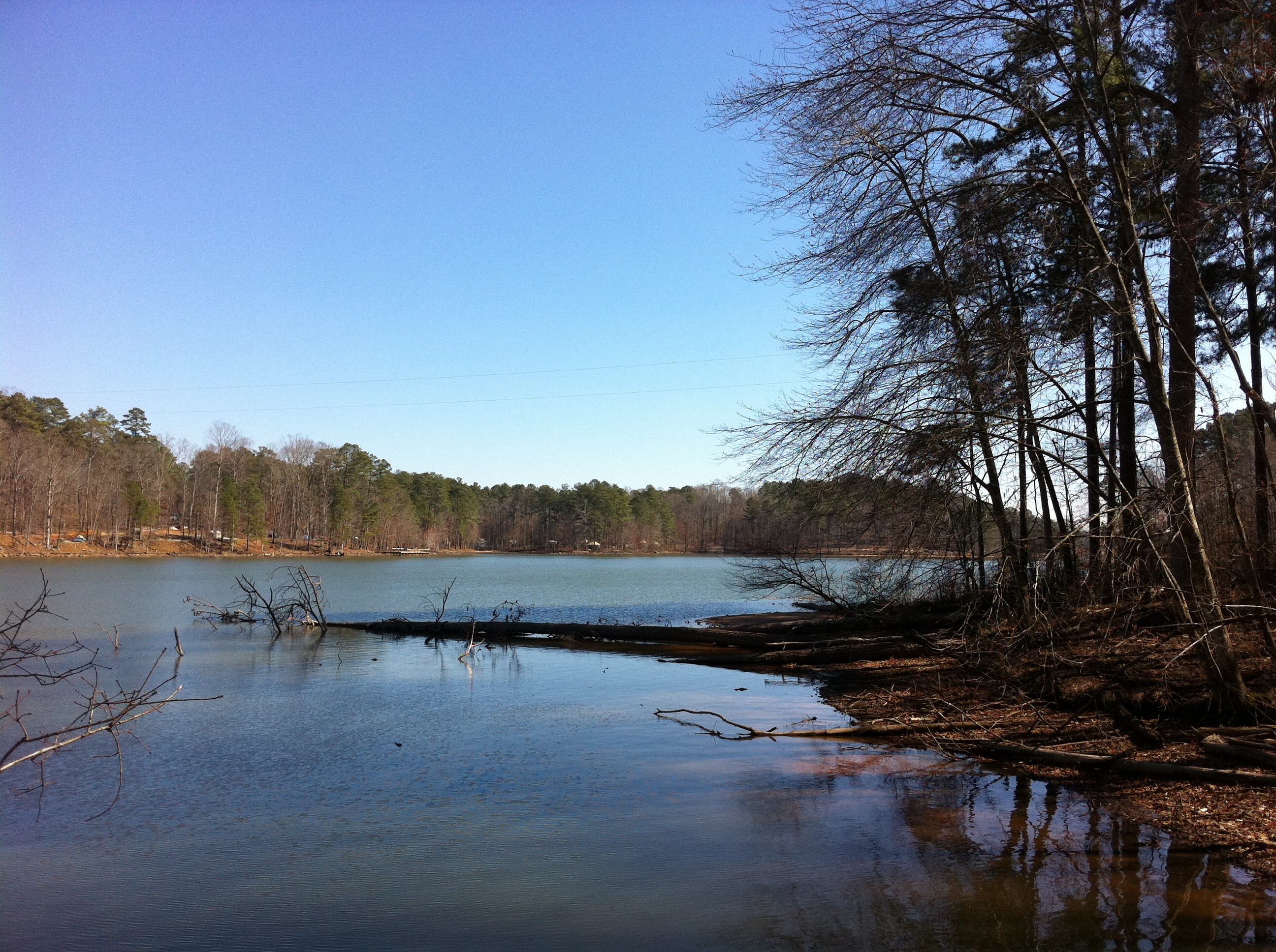
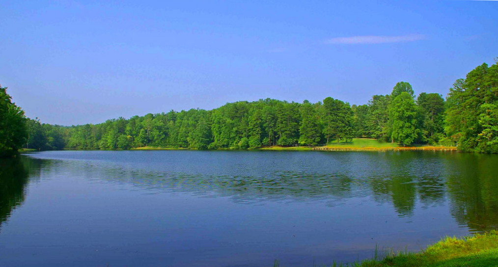
Fort Yargo State Park

Fort Yargo State Park
Caretaker Couple Georgia Lakefront Horse Farm

Fort Yargo State Park

Relaxin'

The early worm gets the fish

1951 Chrysler Windsor Deluxe in Windsor, Georgia

Dam @ Sell's Mill
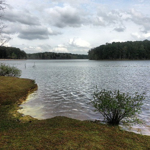
Pollen Lake

Fort Yargo, Georgia state park

Sells Mill Dam

Sells Mill

Sells Mill hidden in the trees in Hoschton, Georgia

Sells Mill in Hoschton, Georgia

Fort Yargo state park Georgia

Storms a'brewin'

2008-06-29 1947C

tall grass

my neighbors hate me

golden light
Topographic Map of Lane Dr, Winder, GA, USA
Find elevation by address:

Places near Lane Dr, Winder, GA, USA:
1208 Hog Mountain Rd
Carter Lumber Company
788 Smith Mill Rd
Statham
2069 Trimleston Rd
1327 Jefferson Hwy
300 Seminole Cir
192 Booth Rd
219 Jordan Cofer Rd
Lee Cir, Statham, GA, USA
858 Johnson Mill Rd
3518 Jackson Trail Rd
89 Bear Paw Ct
669 Mark Dodd Rd
Bogart Christian Church
Mark Dodd Road
Bogart
27 Amberstone Ct
Michelle Lane, Bogart, GA, USA
116 Tomrick Ct
Recent Searches:
- Elevation of Corso Fratelli Cairoli, 35, Macerata MC, Italy
- Elevation of Tallevast Rd, Sarasota, FL, USA
- Elevation of 4th St E, Sonoma, CA, USA
- Elevation of Black Hollow Rd, Pennsdale, PA, USA
- Elevation of Oakland Ave, Williamsport, PA, USA
- Elevation of Pedrógão Grande, Portugal
- Elevation of Klee Dr, Martinsburg, WV, USA
- Elevation of Via Roma, Pieranica CR, Italy
- Elevation of Tavkvetili Mountain, Georgia
- Elevation of Hartfords Bluff Cir, Mt Pleasant, SC, USA