Elevation of Lane City, TX, USA
Location: United States > Texas > Wharton County >
Longitude: -96.026126
Latitude: 29.2152606
Elevation: 27m / 89feet
Barometric Pressure: 101KPa
Elevation Map:
Satellite Map:
Related Photos:
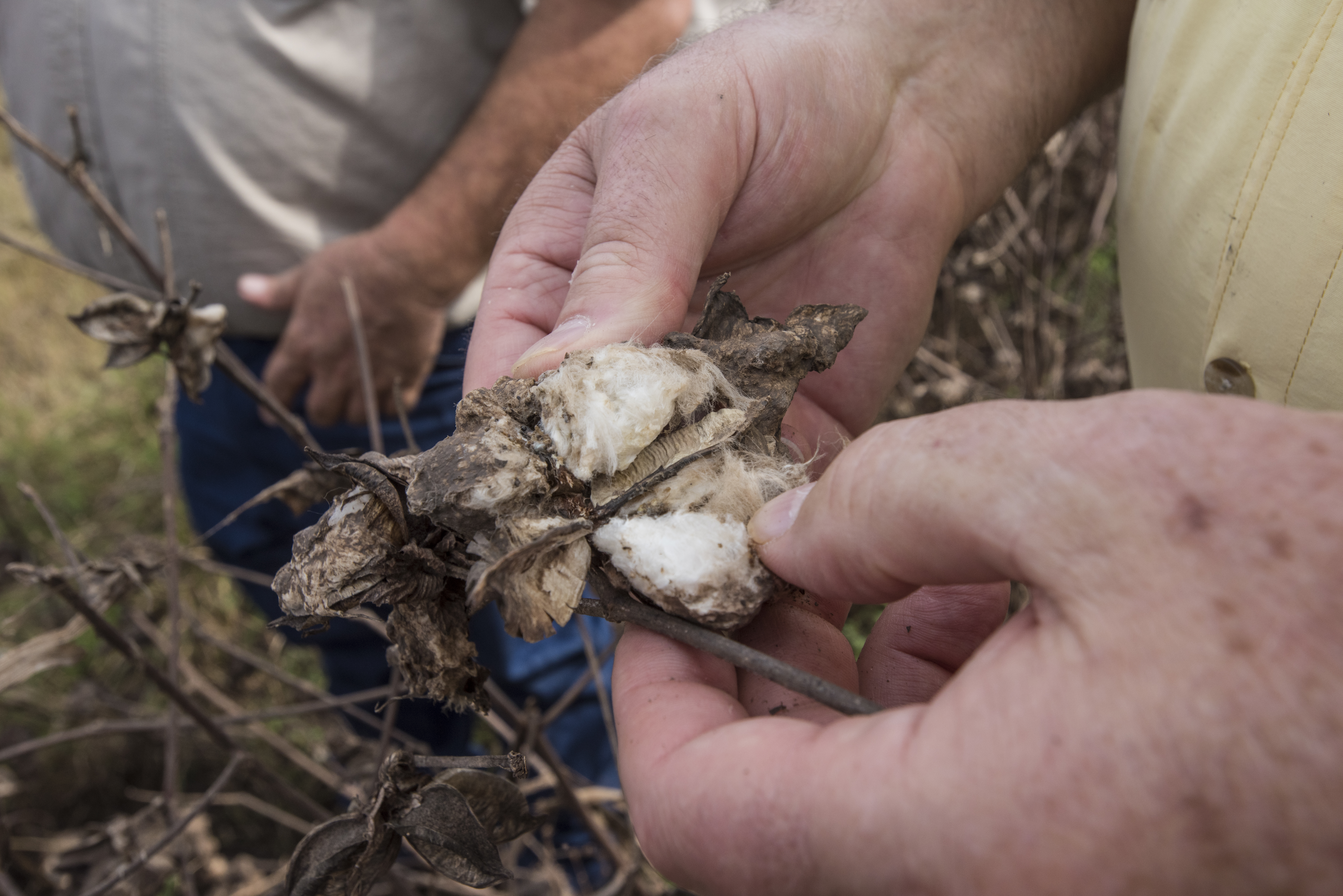
20170921-OSEC-LSC-0654

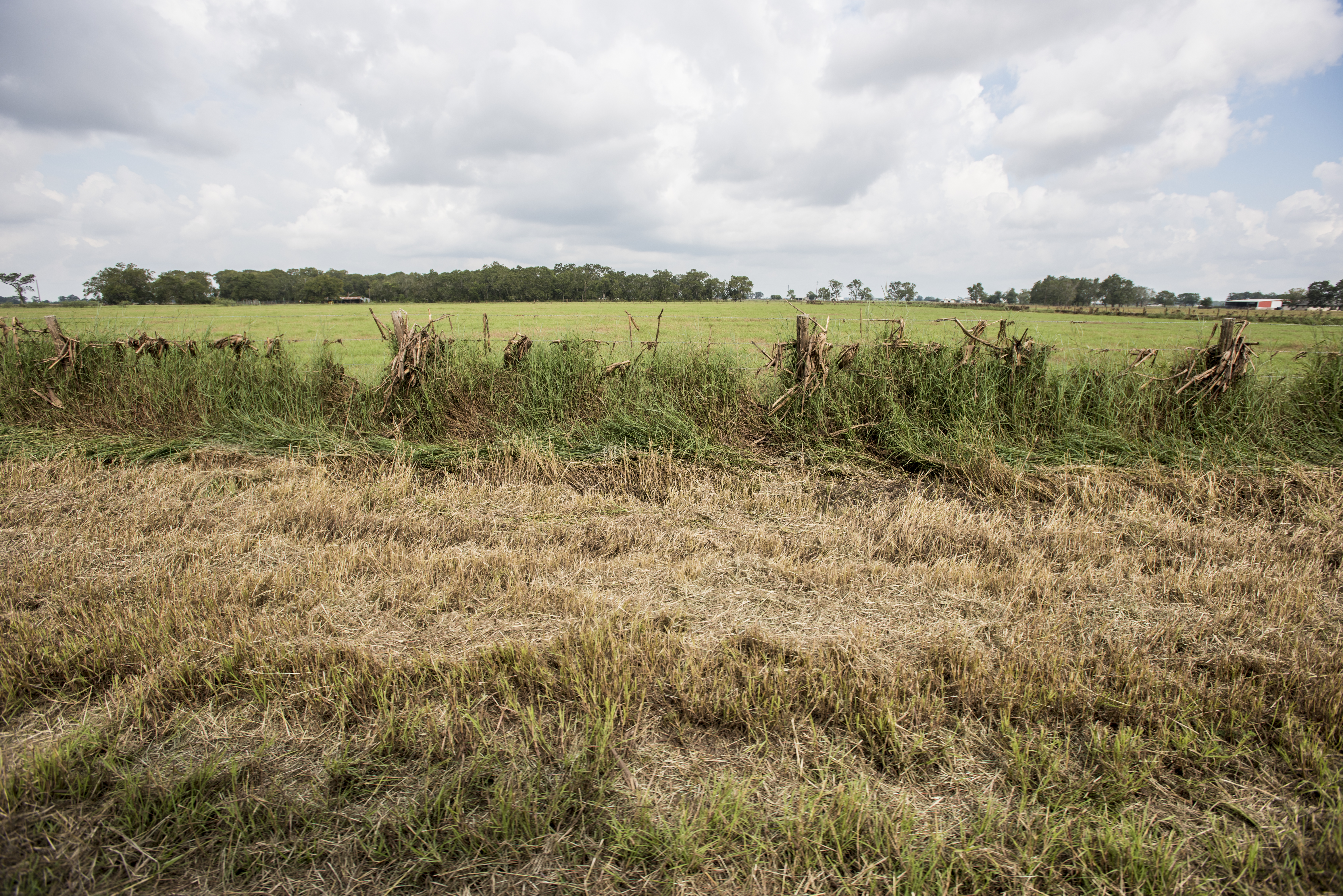
20170921-OSEC-LSC-0634

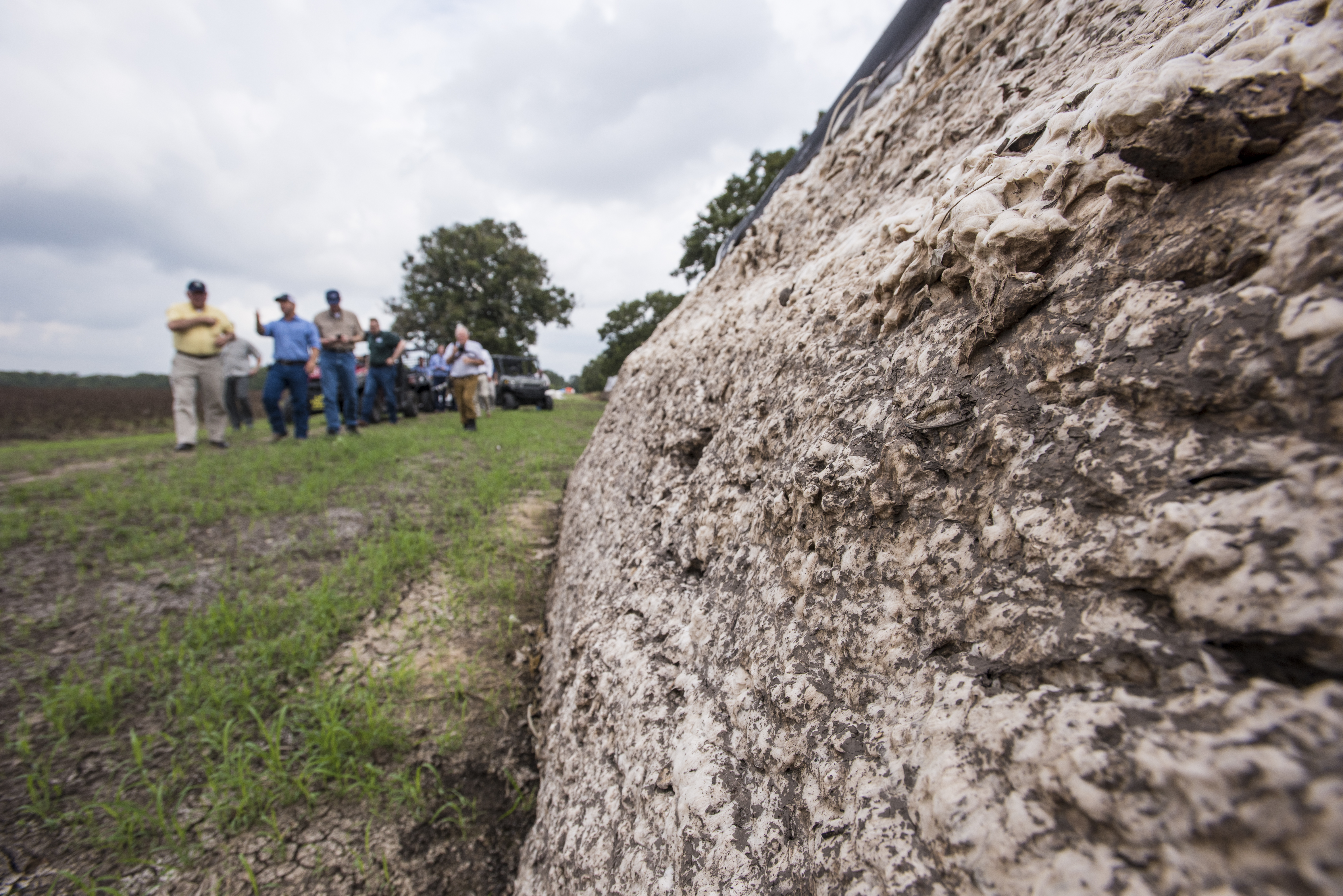
20170921-OSEC-LSC-0921

20170921-OSEC-LSC-0696
20170921-OSEC-LSC-0710

20170921-OSEC-LSC-0621

20170921-OSEC-LSC-0981

20170921-OSEC-LSC-0676
20170921-OSEC-LSC-0852

20170921-OSEC-LSC-0667

20170921-OSEC-LSC-0662

1948 Anglia Rear View
Abandoned Through Truss Railroad Bridge over San Bernard River, Newgulf, Texas 0212111557BW
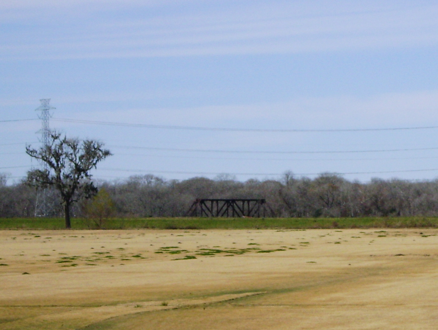
Frustration - Truss Bridge on abandoned railroad grade, over San Bernard River, Newgulf, Texas 1225091327
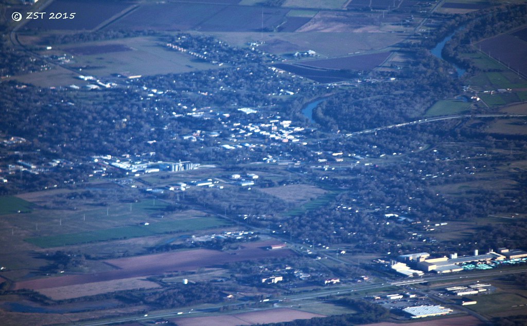
Wharton, TX

One place, three views

View from the Balcony
20170921-OSEC-LSC-0012

Textural Study
Topographic Map of Lane City, TX, USA
Find elevation by address:

Places near Lane City, TX, USA:
County Road 126
2410 Garrett Ct
219 Caney Trails Dr
Knox Drive
Knox Drive
1010 Knox Ln
114 Neal Rd
Fairway Drive
320 Old Caney Rd
2005 Tx-60
Croom Drive
1107 Wisteria Way
1107 Wisteria Way
1103 Wisteria Way
1103 Wisteria Way
1103 Wisteria Way
2011 Briar Ln
1823 Linwood Dr
1818 Kelving Way Ct
1818 Kelving Way Ct
Recent Searches:
- Elevation of Corso Fratelli Cairoli, 35, Macerata MC, Italy
- Elevation of Tallevast Rd, Sarasota, FL, USA
- Elevation of 4th St E, Sonoma, CA, USA
- Elevation of Black Hollow Rd, Pennsdale, PA, USA
- Elevation of Oakland Ave, Williamsport, PA, USA
- Elevation of Pedrógão Grande, Portugal
- Elevation of Klee Dr, Martinsburg, WV, USA
- Elevation of Via Roma, Pieranica CR, Italy
- Elevation of Tavkvetili Mountain, Georgia
- Elevation of Hartfords Bluff Cir, Mt Pleasant, SC, USA