Elevation of Lancaster, Lancashire, UK
Location: United Kingdom > England > Lancashire > Lancaster District >
Longitude: -2.8007399
Latitude: 54.046575
Elevation: 24m / 79feet
Barometric Pressure: 101KPa
Elevation Map:
Satellite Map:
Related Photos:
On the way to the George & Dragon

Lune to Pen-y-ghent

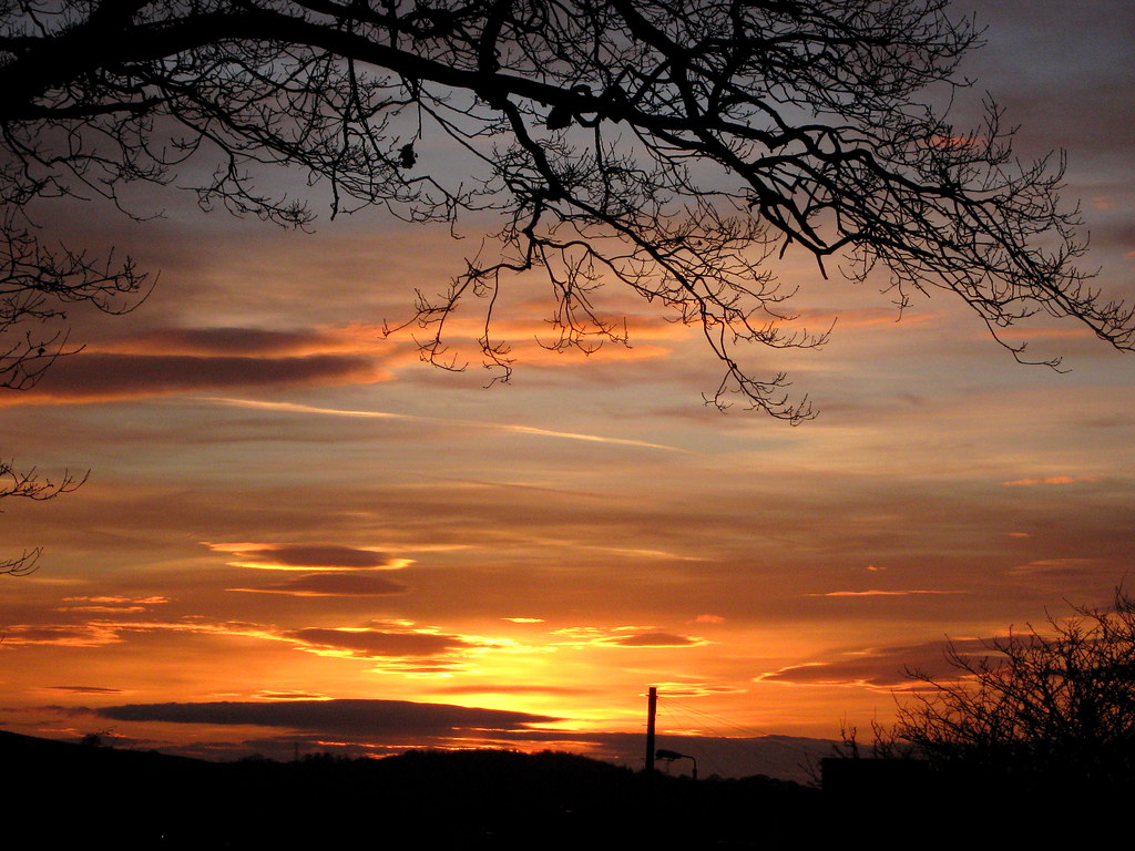
Fourth of November
EARLY MORNING LIGHT.
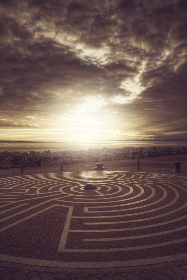
a maze

Small Tortoise Shell
HMMM..

A drawing in

Pele Tower
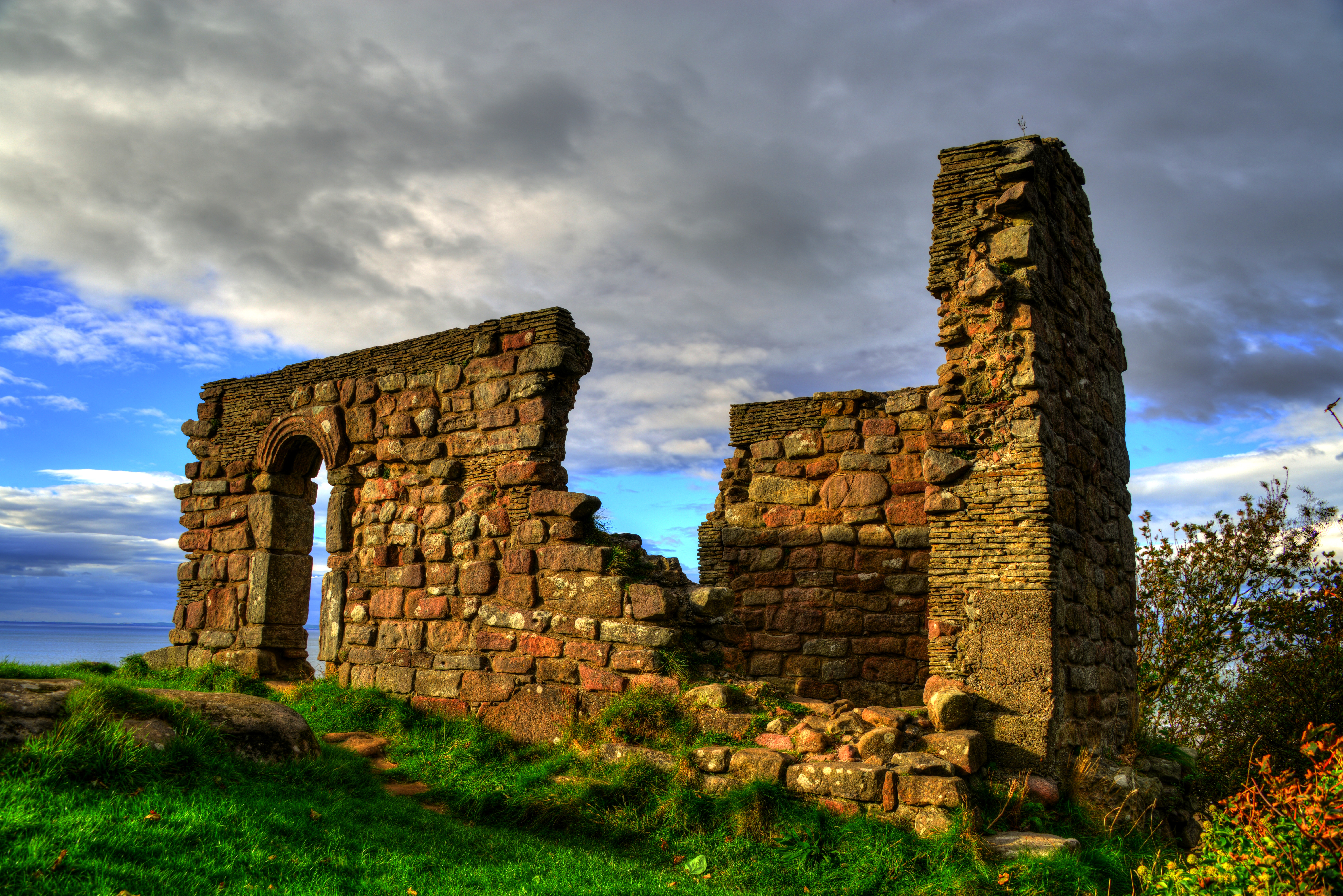
ST. PATRICK'S CHAPEL, HEYSHAM, LANCASHIRE, ENGLAND.

Nearly There
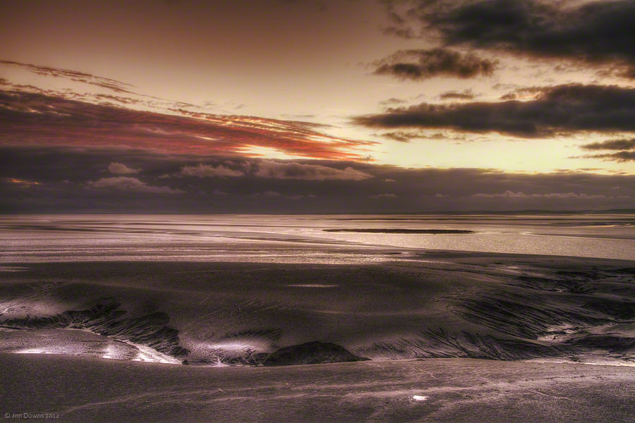
End of Days.
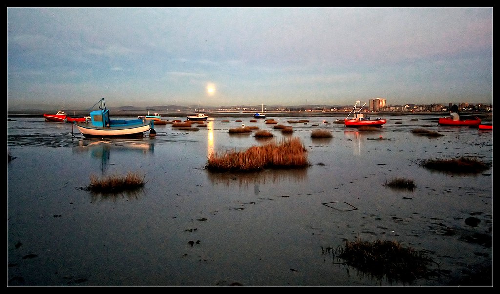
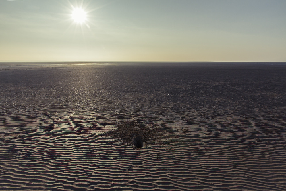
all at sea?
another red world
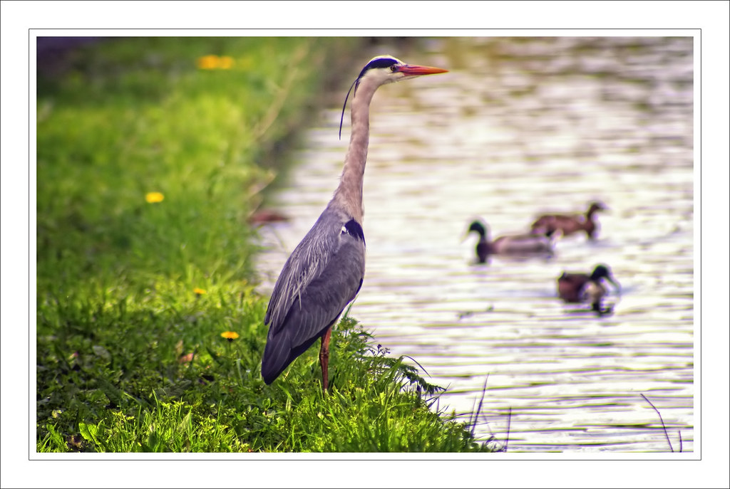
A Heron (not a Turnip).

Small island, big views

Tunnel view
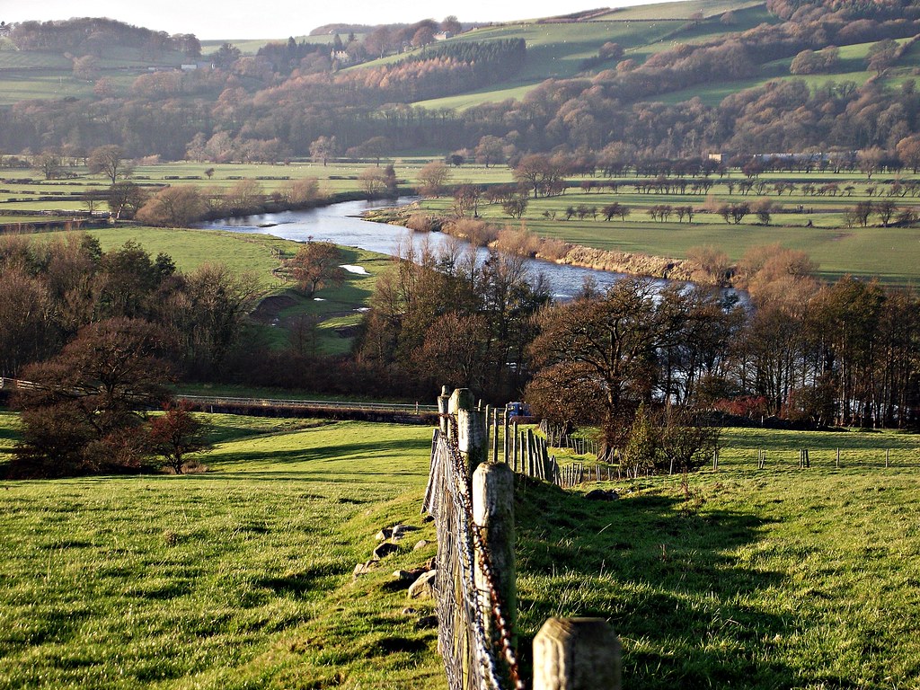
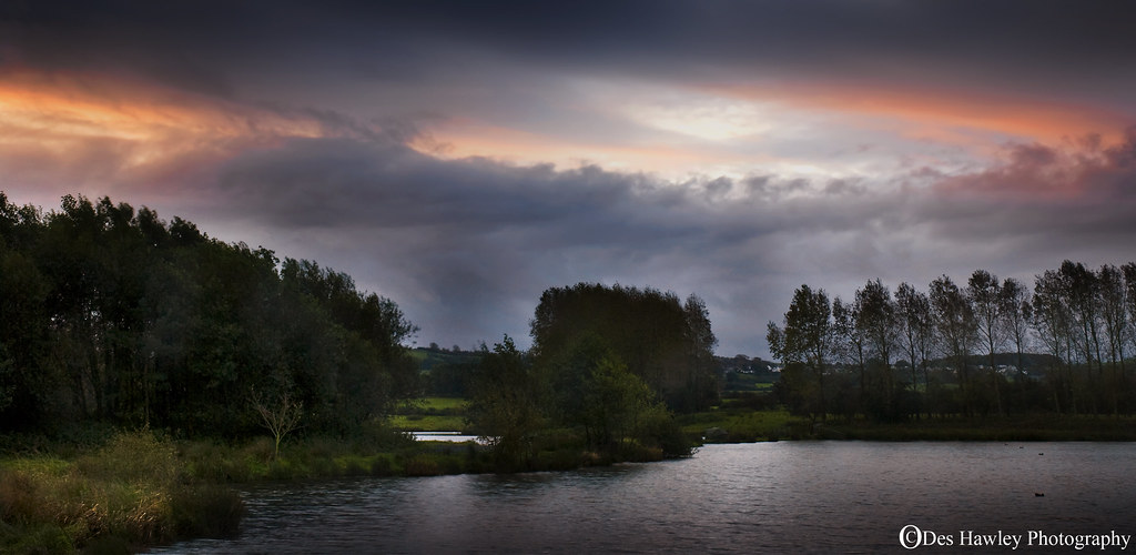
Part of the Lune Valley

A sunset murder.

The wider view
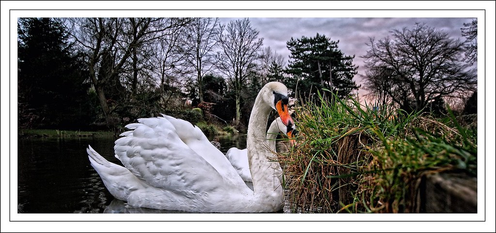
Swimming with Swans.

Capernwray reflections

Above the waters

Sunday's sky

Cliffs and Cove

Fringes.....

Air of tranquillity

Prelude ......
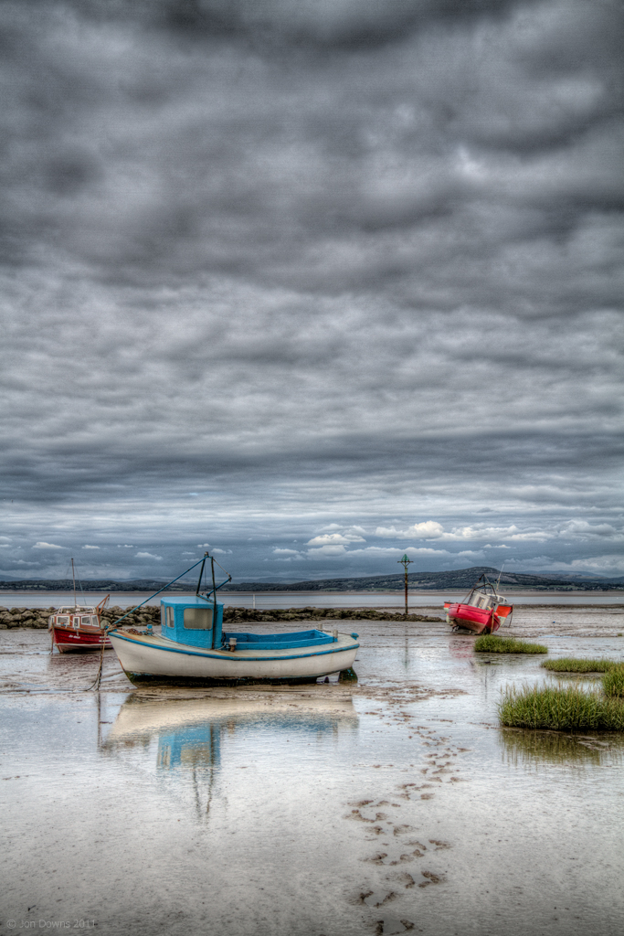
Nowhere to Hide

Enjoy that moment

Golden walk

Flowing light

Gently does it

Best laid schemes..
Topographic Map of Lancaster, Lancashire, UK
Find elevation by address:

Places in Lancaster, Lancashire, UK:
Places near Lancaster, Lancashire, UK:
La1 4rp
North Road
Ushers Meadow
Moor Close
La1
Park Road
Derwent Road
Lunesdale Court
Vale Road
Scotforth
La1 4ht
65 Masonfield Cres
Kingfsher Barn
Halton
La2 6rj
La2 6fd
La2 9hy
Caton
Lancaster District
Lancaster
Recent Searches:
- Elevation of Corso Fratelli Cairoli, 35, Macerata MC, Italy
- Elevation of Tallevast Rd, Sarasota, FL, USA
- Elevation of 4th St E, Sonoma, CA, USA
- Elevation of Black Hollow Rd, Pennsdale, PA, USA
- Elevation of Oakland Ave, Williamsport, PA, USA
- Elevation of Pedrógão Grande, Portugal
- Elevation of Klee Dr, Martinsburg, WV, USA
- Elevation of Via Roma, Pieranica CR, Italy
- Elevation of Tavkvetili Mountain, Georgia
- Elevation of Hartfords Bluff Cir, Mt Pleasant, SC, USA