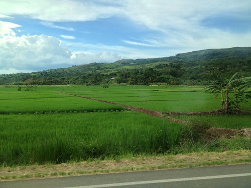
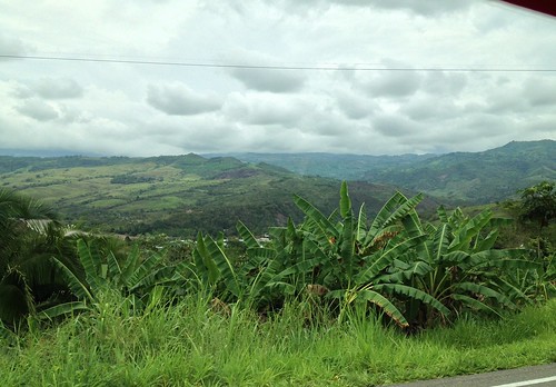
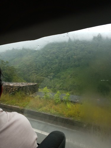
Elevation map of Lamas Province, Peru
Location: Peru > San Martin >
Longitude: -76.516593
Latitude: -6.4198642
Elevation: 806m / 2644feet
Barometric Pressure: 92KPa
Related Photos:
Topographic Map of Lamas Province, Peru
Find elevation by address:

Places in Lamas Province, Peru:
Places near Lamas Province, Peru:
Tarapoto
San Martin
Ricardo Palma
La Banda De Shilcayo District
Caynarachi
Chazuta
5N 52, Peru
Anex Baños Termales De San Mateo
Waqanki Lodge
Moyobamba
Moyobamba Province
Soritor
Alto Amazonas Province
San Gabriel De Varadero
Rioja Province
Nueva Cajamarca
Recent Searches:
- Elevation of Corso Fratelli Cairoli, 35, Macerata MC, Italy
- Elevation of Tallevast Rd, Sarasota, FL, USA
- Elevation of 4th St E, Sonoma, CA, USA
- Elevation of Black Hollow Rd, Pennsdale, PA, USA
- Elevation of Oakland Ave, Williamsport, PA, USA
- Elevation of Pedrógão Grande, Portugal
- Elevation of Klee Dr, Martinsburg, WV, USA
- Elevation of Via Roma, Pieranica CR, Italy
- Elevation of Tavkvetili Mountain, Georgia
- Elevation of Hartfords Bluff Cir, Mt Pleasant, SC, USA


