Elevation of Lakhisarai, Bihar, India
Location: India > Bihar >
Longitude: 86.1344697
Latitude: 25.1860504
Elevation: 46m / 151feet
Barometric Pressure: 101KPa
Elevation Map:
Satellite Map:
Related Photos:
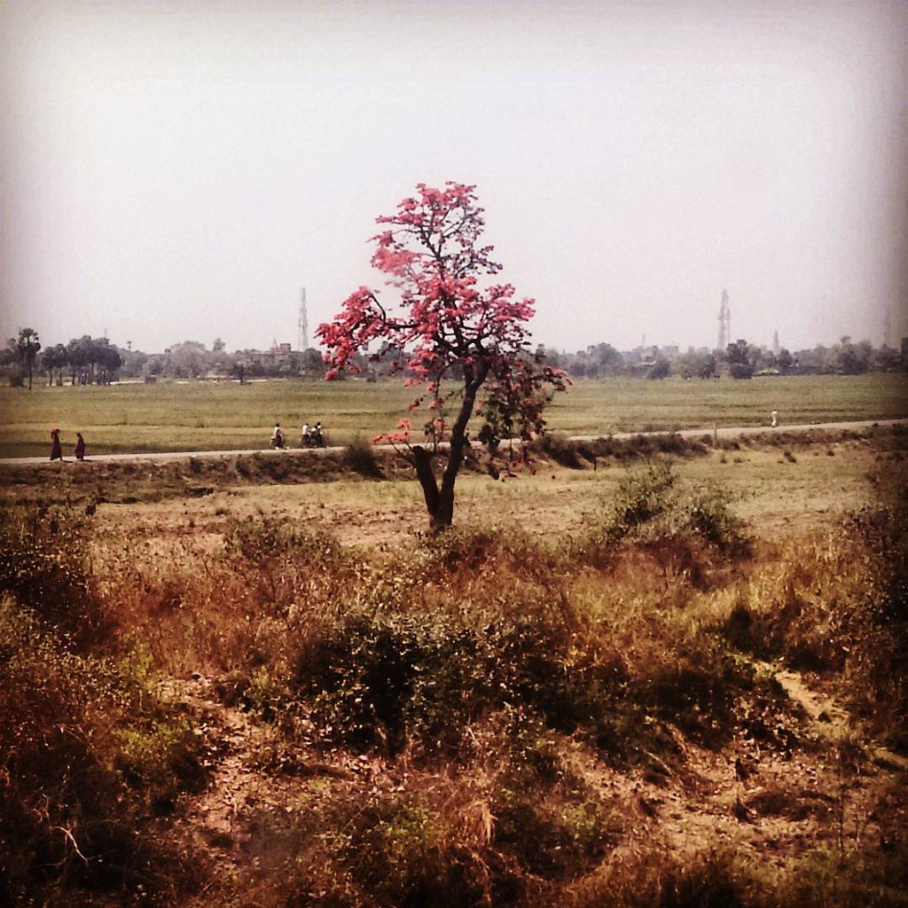
Ektuku chowan lage... #palashphool #fromtherailwaycarriage #scenery #windowpane #morning #incredibleindia #India #fortheloveoftravel
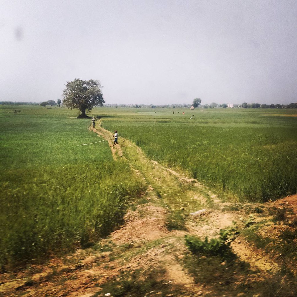
Gramer oi anka banka poth.... #fromtherailwaycarriage #indianrailways #India #windowpane #incredibleindia #scenery #morning
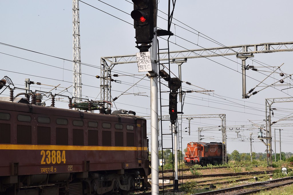
Dn Starter
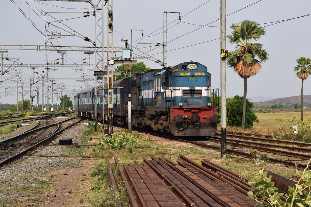
TATA-DNR Express

Kiul Curve
Topographic Map of Lakhisarai, Bihar, India
Find elevation by address:

Places in Lakhisarai, Bihar, India:
Places near Lakhisarai, Bihar, India:
Lakhisarai
Sheikhpura
Sheikhpura
Munger
Jamui
Nagi Dam Pahar
Jhajha
Gawan
Khanpur Lake.
English Khanpur
Tilakpur
Akbarnagar
Rajdhanwar
Banka
Banka
Bhagalpur
Lodipur Khurd
Gopalpur
Deoghar
Giridih
Recent Searches:
- Elevation of Corso Fratelli Cairoli, 35, Macerata MC, Italy
- Elevation of Tallevast Rd, Sarasota, FL, USA
- Elevation of 4th St E, Sonoma, CA, USA
- Elevation of Black Hollow Rd, Pennsdale, PA, USA
- Elevation of Oakland Ave, Williamsport, PA, USA
- Elevation of Pedrógão Grande, Portugal
- Elevation of Klee Dr, Martinsburg, WV, USA
- Elevation of Via Roma, Pieranica CR, Italy
- Elevation of Tavkvetili Mountain, Georgia
- Elevation of Hartfords Bluff Cir, Mt Pleasant, SC, USA