Elevation of Lake View Rd, Norton, VT, USA

Location: United States > Vermont > Essex County > Norton >

Longitude: -71.710192

Latitude: 44.998115

Elevation: 517m / 1696feet

Barometric Pressure: 95KPa

Elevation Map:

elevation map of Lake View Rd, Norton, VT, USA

Satellite Map:

Satellite map of Lake View Rd, Norton, VT, USA

Related Photos:

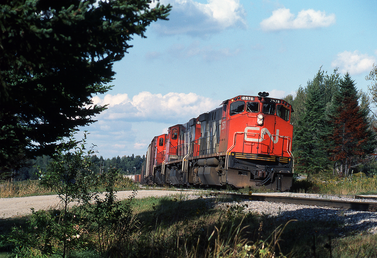
1983 09-15 1604 CN M420-2578, 2569, 2536 pkd S/B, Norton, VT
1983 09-15 1601 CN M420-2578, 2569, 2536 pkd S/B, Norton, VT
canaan country coveredbridge dixvillenotch errol franconia greatnorthwoods gundersen hiking hydro image interesting lake machine newhampshire nh nikon old picture places rail railroad river road scenes shots tracks trail train weststewartstown whitemountains vermont vt abovethenotches mtwashington northernnewhampshire bobgundersen newengland engineering blue brown catchycolors green livefreeordie white bridge infrastructure landscape robertgundersen usa psnh photo abandoned flickr eversourceenergy connecticutriver architecture powerplant powerstation outside outdoor path generator electricity utility energy eversource vanishingpoint hullstreetenergy transport ©bobgundersen
Staggered truss bridge @ Canaan
blackandwhite bw nature landscape vermont fallfoliage rollinghills northeastkingdom mapletrees nek cumulusclouds silverefex birdconservancy silvioocontenationalfishandwildliferefuge lewispondoverlook
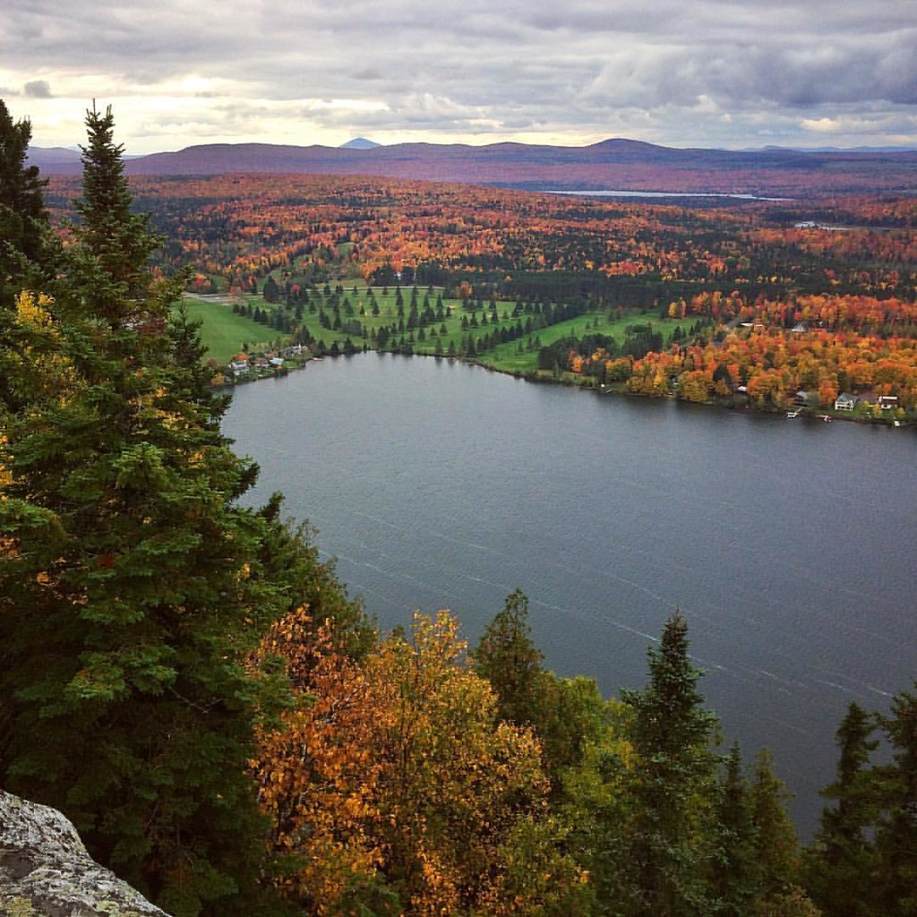
Lewis Pond in the Clouds
Astrometrydotnet:status=solved Astrometrydotnet:version=14400 Astrometrydotnet:id=alpha20120776286770
M20 Triffid Nebula
nature landscape vermont fallfoliage hdr rollinghills northeastkingdom mapletrees nek cumulusclouds birdconservancy silvioocontenationalfishandwildliferefuge galleryoffantasticshots lewispondoverlook
Ode to Joy
autumn woman dog pets color fall nature girl newfoundland landscape vermont foliage griffin northeastkingdom nationalwildliferefuge nwr nek landseer newfie newfy
Northeast Kingdom
vermont unitedstates norton 201409vermontnewhampshire
View to the Mountains
instagramapp square squareformat iphoneography uploaded:by=instagram
Summit view... #mthereford #quebec #canada #summit #view #hiking #hike #sky #igdaily #picoftheday #latergram #adventure #landscape #landscape_lovers #blue #bluesky #outside #outdoors #rei1440project #winter #explore #exploremore #easthereford #mountains
lake fall canon eos cloudy hike 7d dslr hdr baseman 2014 cans2s bmca
"mont pinacle"
building church godandcountry gundersen newhampshire nh nikon places town whitemountains greatnorthwoods d5000 image picture interesting berlin brown canaan catchycolors christepiscopalchurch country dixvillenotch errol franconia lake livefreeordie red scenes shots stjohnsepiscopalchurch weststewartstown white vermont vt old historical northernnewhampshire congregational bobgundersen newengland robertgundersen usa landscape photo nikond5000 monument whitechurch nikoncamera flickr christian exterior outside outdoor ©bobgundersen
St Paul's Episcopal Chruch, Canaan, Vermont
usa canada us vermont unitedstates quebec border newengland vt étatsunis
US-Canada Border at Stanhope
panorama quebec rockclimbing climbers baldwinsmills
Climbers 2
fall canon eos quebec 7d dslr hdr baseman 2014 1635mm cans2s bmca
"untitled #40"
landscape quebec coatikooc
on the way to the USA...
instagramapp square squareformat iphoneography uploaded:by=instagram hudson
Lac Lyster
berlin blue bridge brown building canaan country d40x dam dixvillenotch errol franconia greatnorthwoods green catchycolors gundersen huge hydro infrastructure lake machine newhampshire nh nikon places psnh river scenes shoreline shots water waterfront weststewartstown whitemountains image picture interesting abovethenotches mtwashington northernnewhampshire bobgundersen newengland engineering landscape robertgundersen usa photo nikond40x castle power nikoncamera flickr architecture clear day eversourceenergy powerplant powerstation exterior outside outdoor generator electricity utility energy eversource ©bobgundersen
Lake Francis gatehouse at Murphy Dam
chute cascade waterfall water eau landscape paysage
LA CHUTE À DONAT
hdr montagnes estrie laclyster montpinacle
Mont Pinacle - Estrie
Blue Heron in the tall grass at Little Averill Pond
rivière Coaticook
hdr estrie laclyster montpinacle
Mont Pinacle - Estrie
botbnh nh stewartstown newhampshire unitedstates us
Beautiful NH