Elevation of Lake Traverse, United States
Location: United States > Minnesota > Traverse County > Windsor Township >
Longitude: -96.747688
Latitude: 45.7001649
Elevation: 297m / 974feet
Barometric Pressure: 98KPa
Elevation Map:
Satellite Map:
Related Photos:
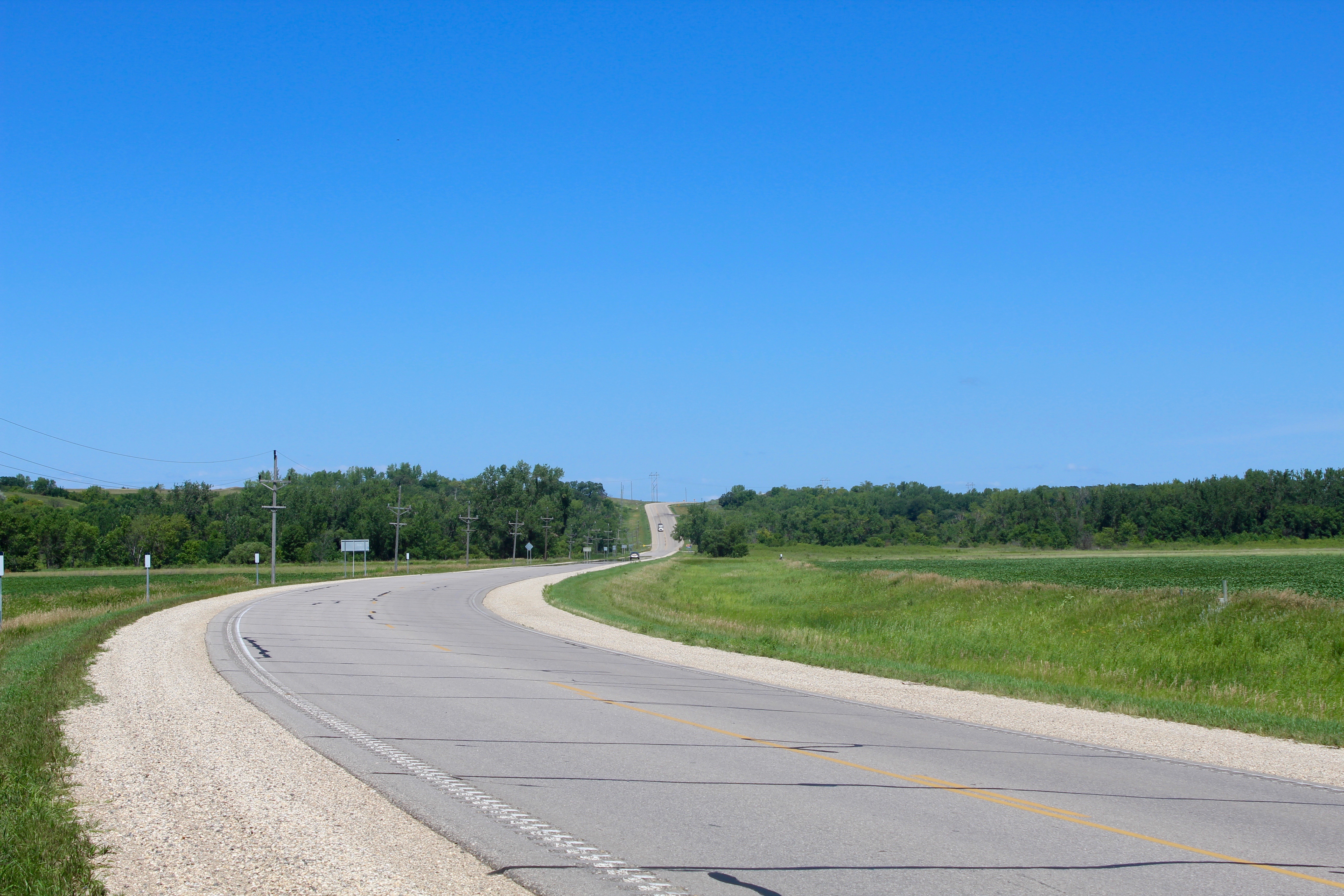
Brown's Valley / Glacial Spilway
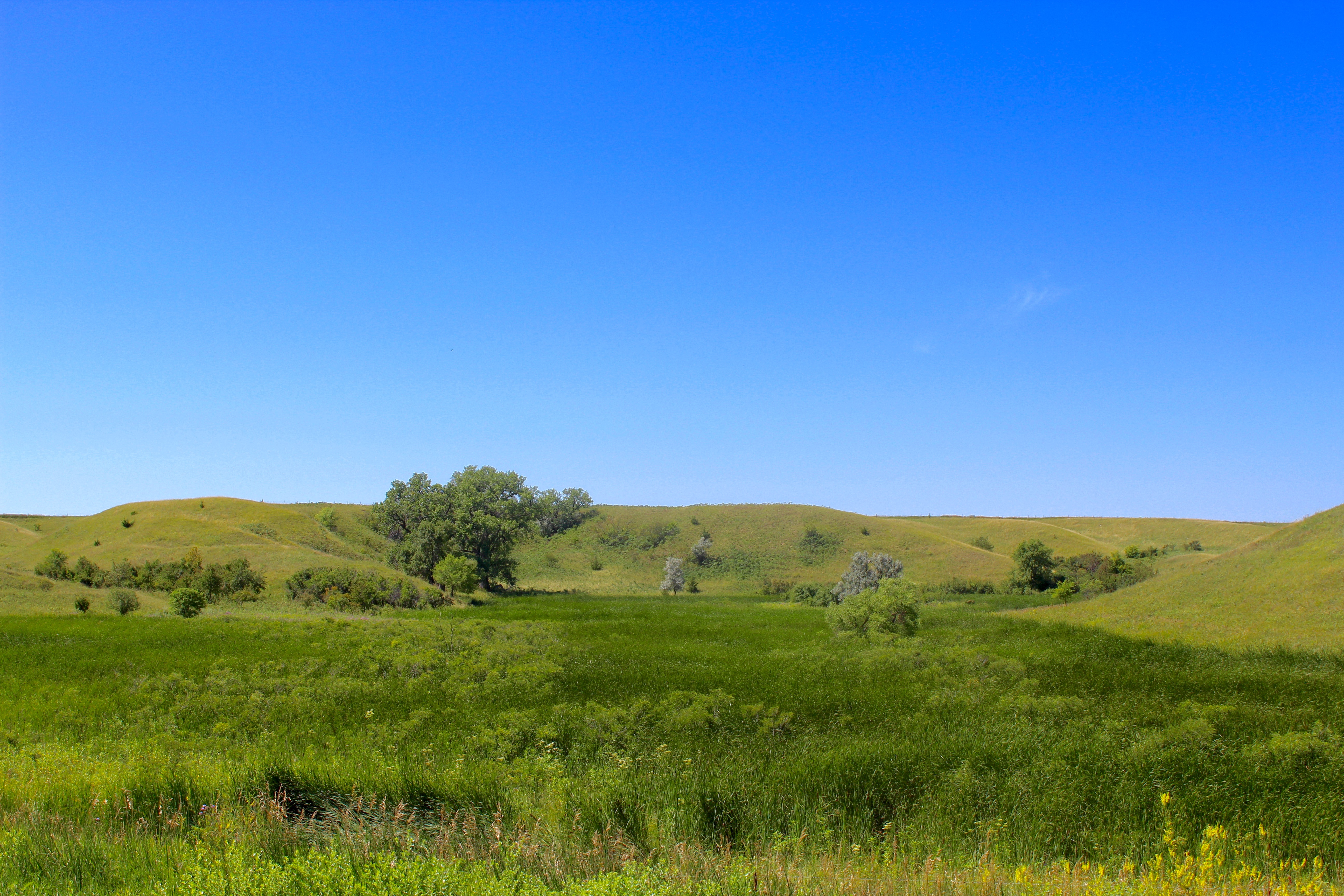
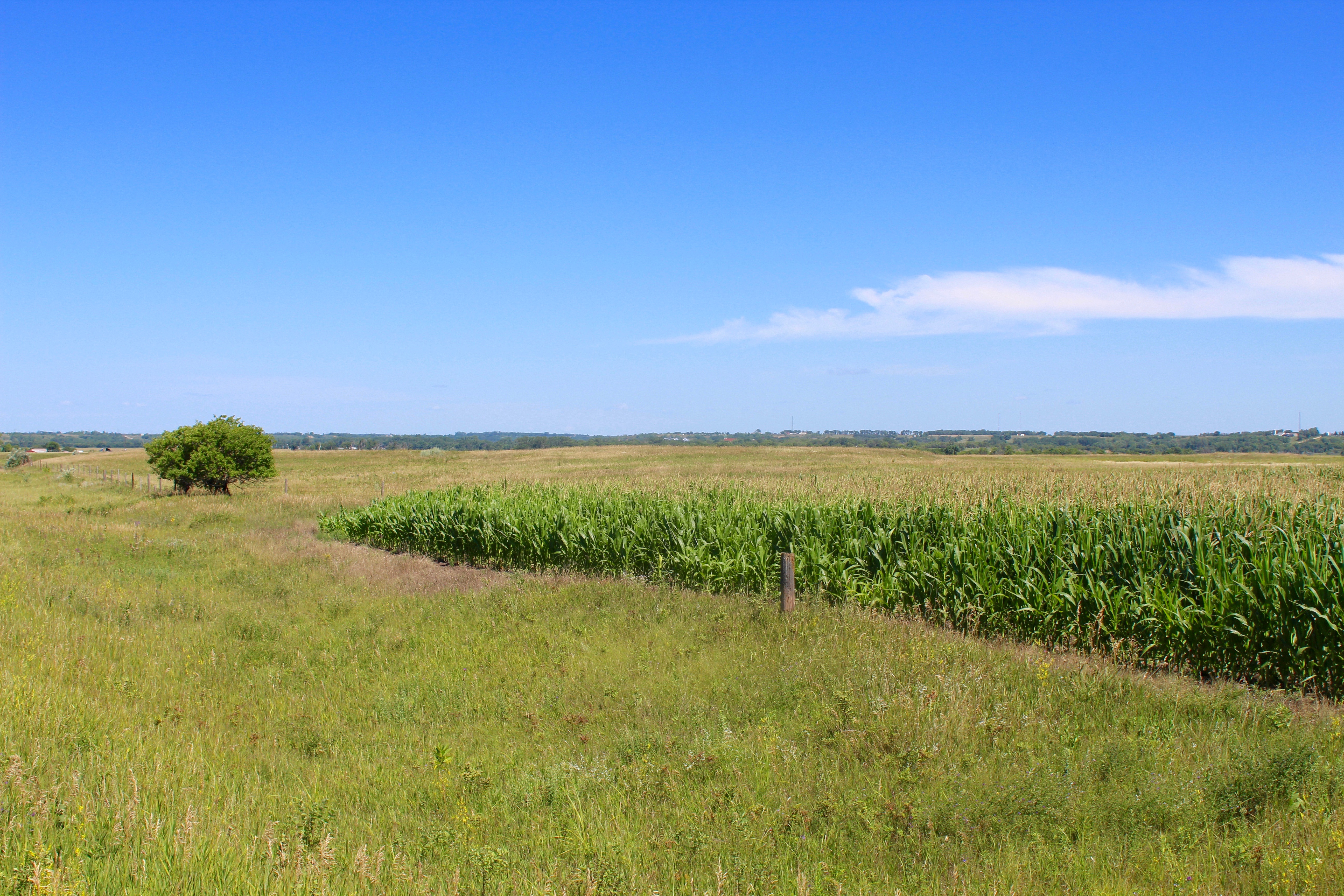
Rolling Hills
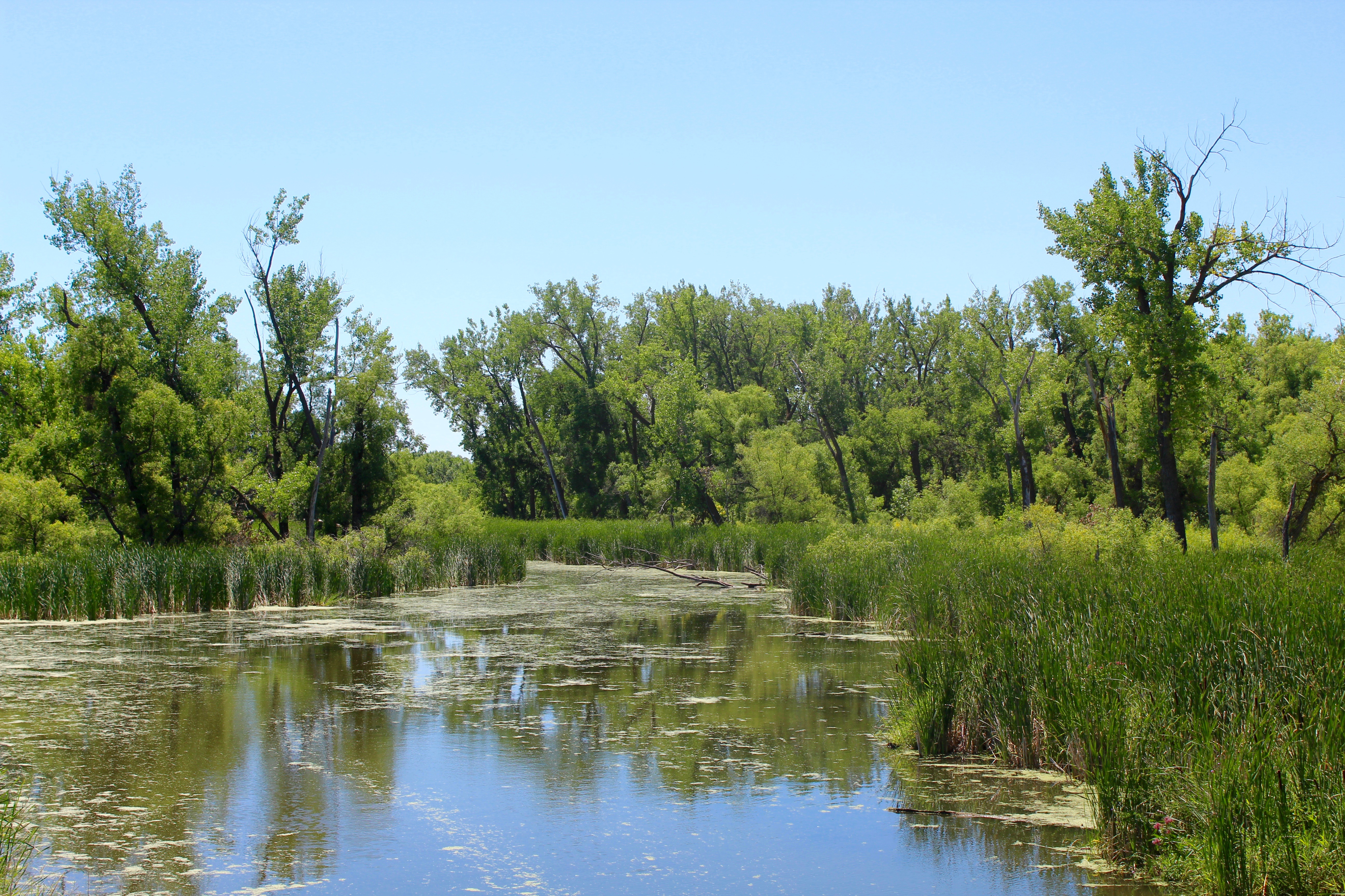
Hudson Bay Drainage Headwater
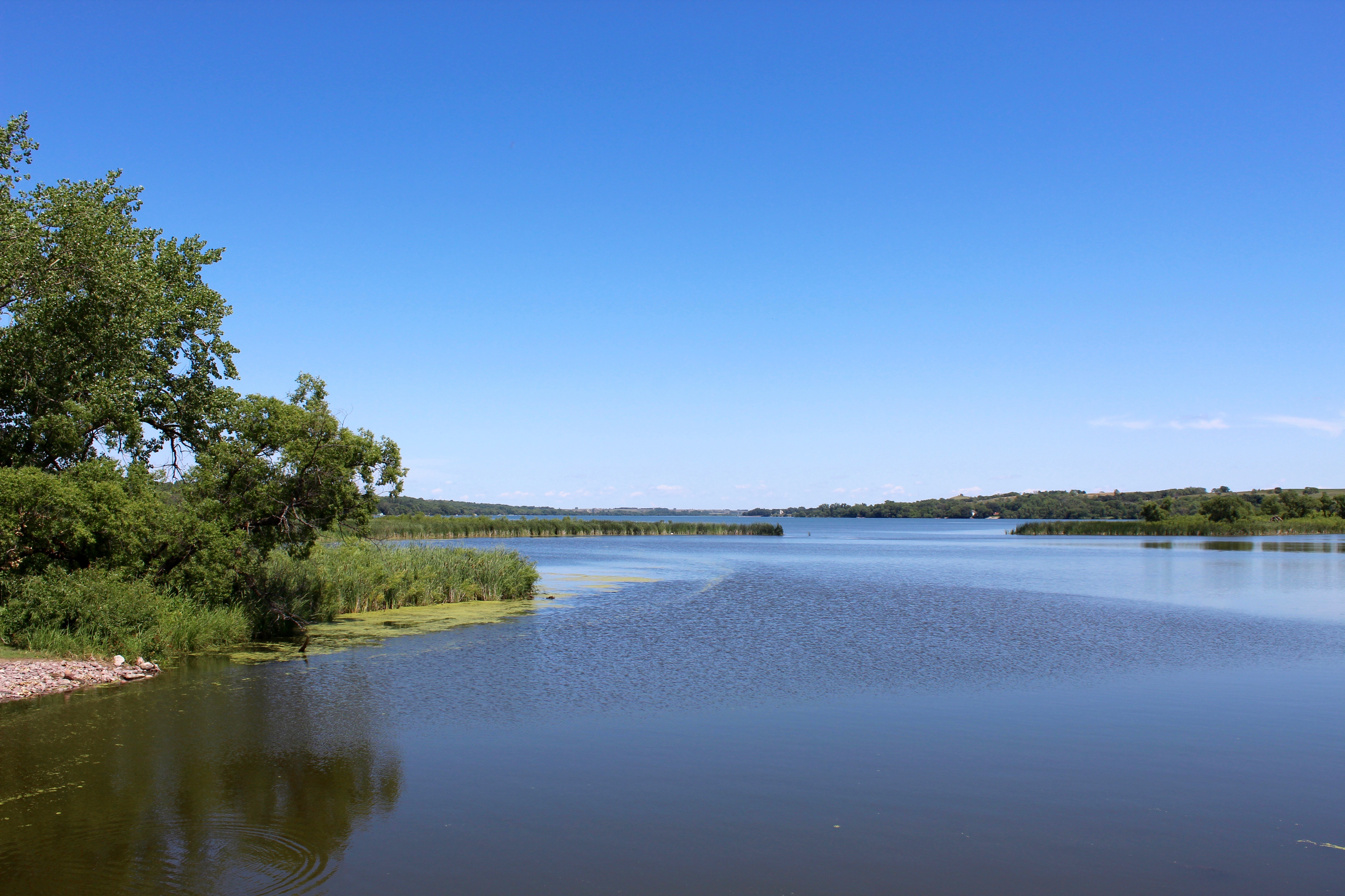
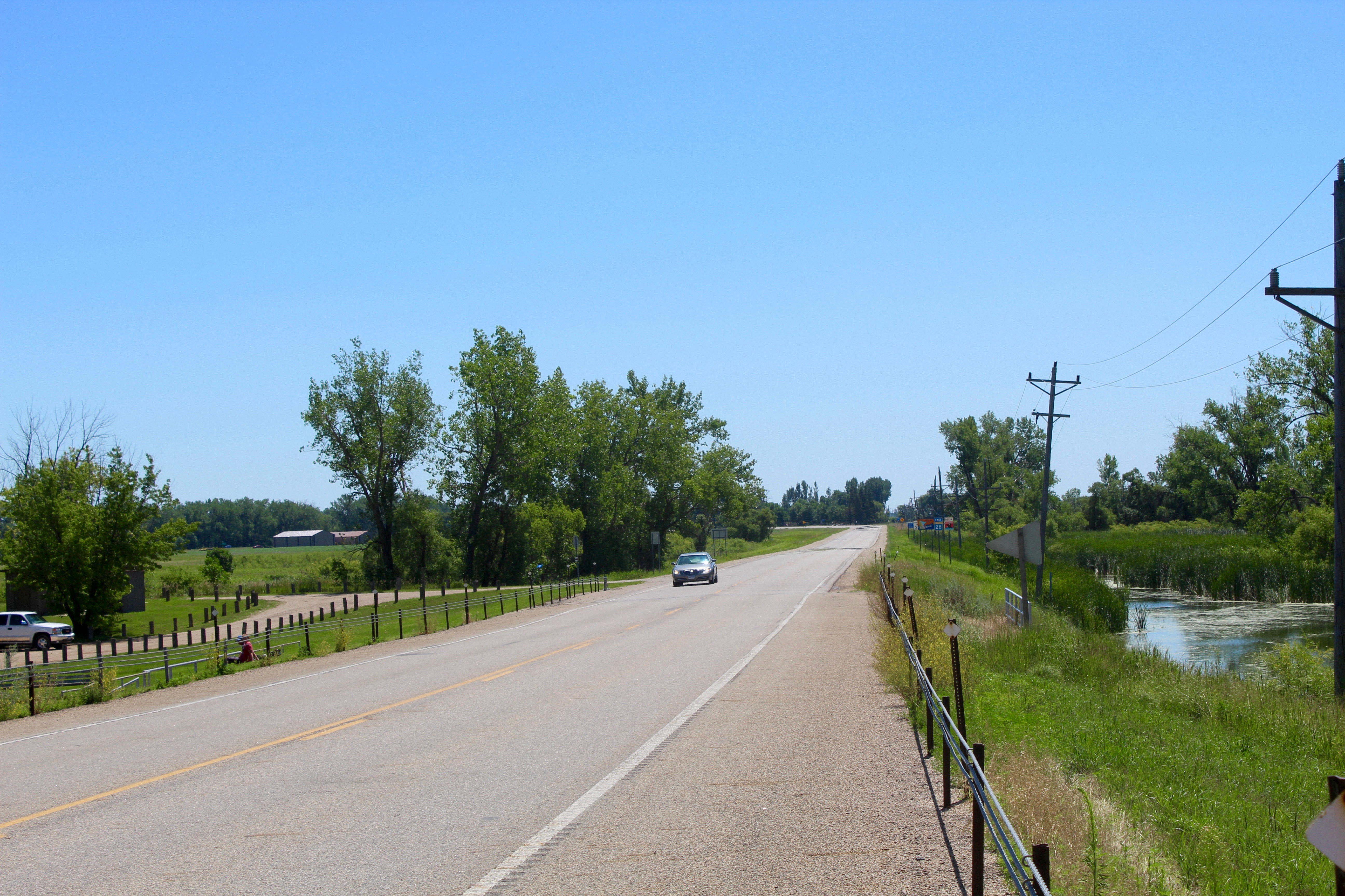
Lake Traverse
Continental Divide
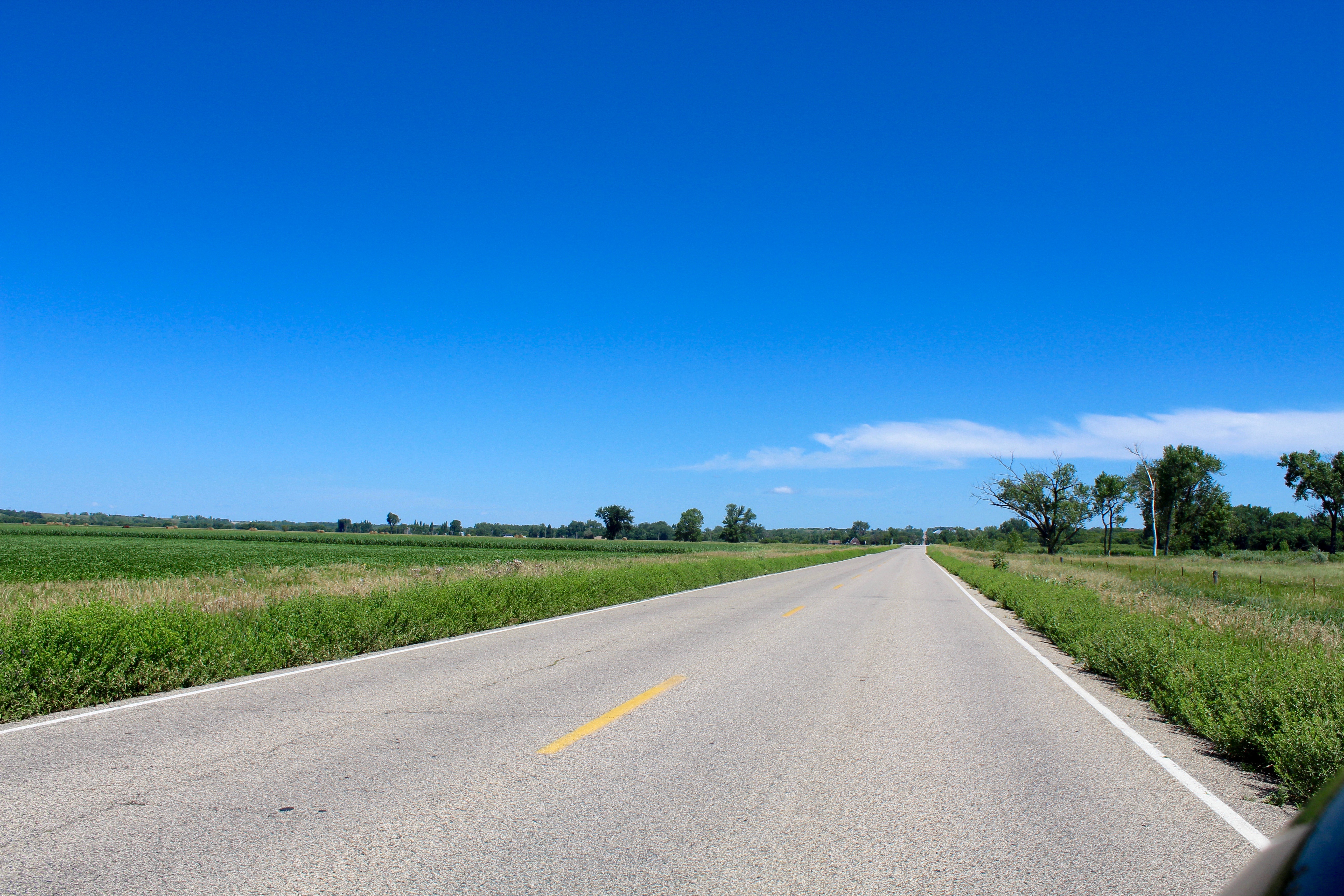
Coming Into Brown's Valley

Enterning Brown's Valley

Bald Eagles

Besökare Samtidigt
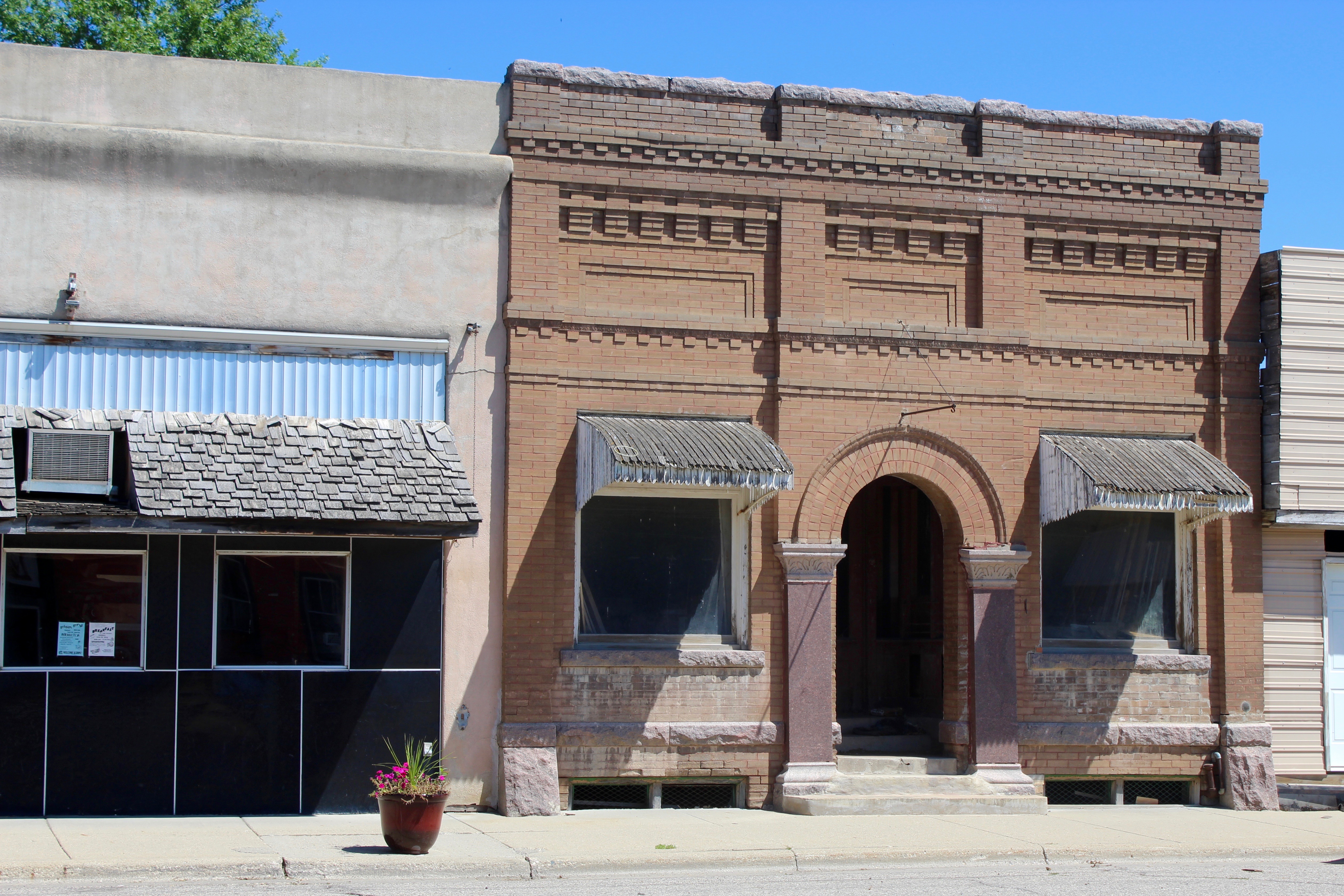
A Shell Of Its Former Glory Days
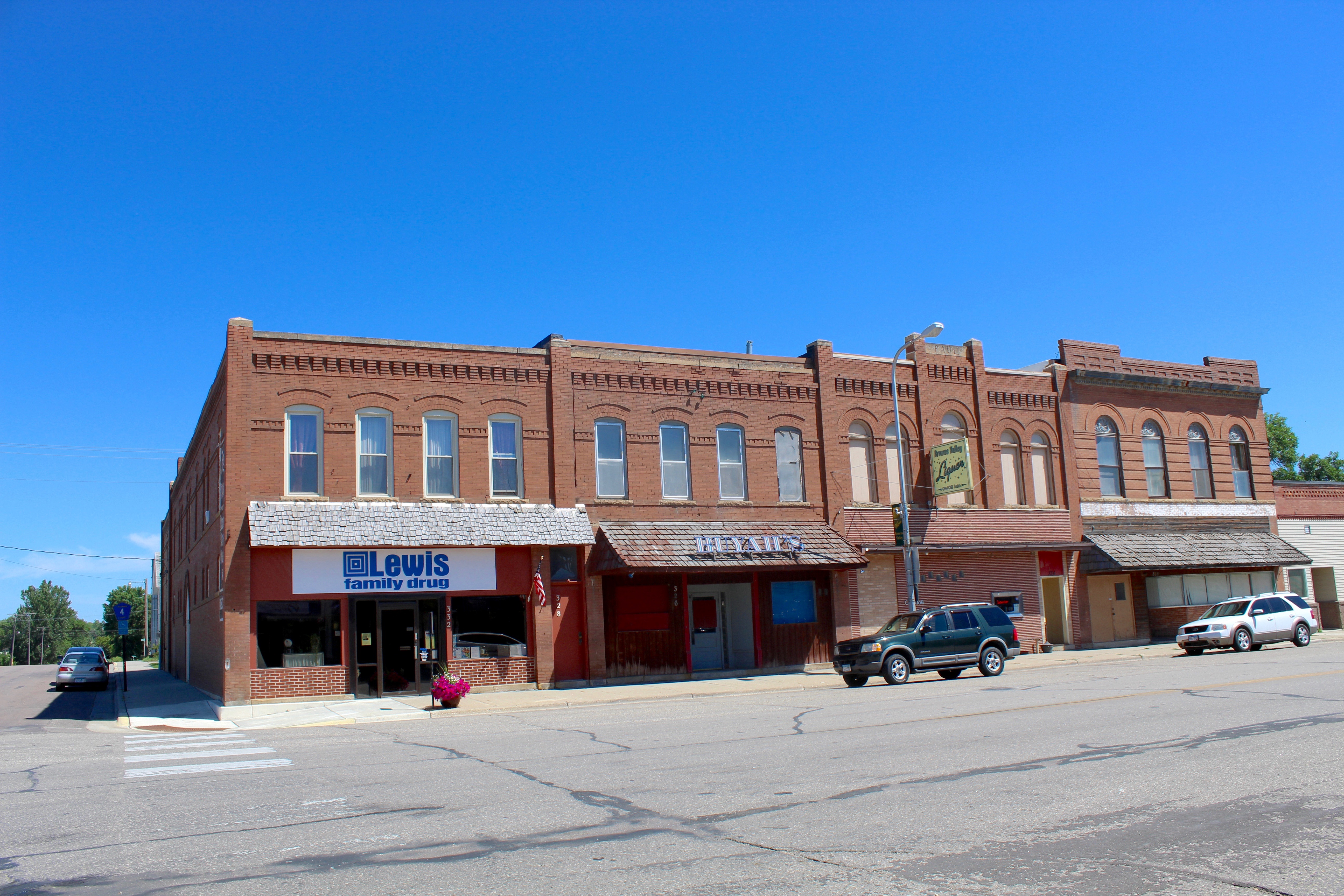
A Busy Time Downtown
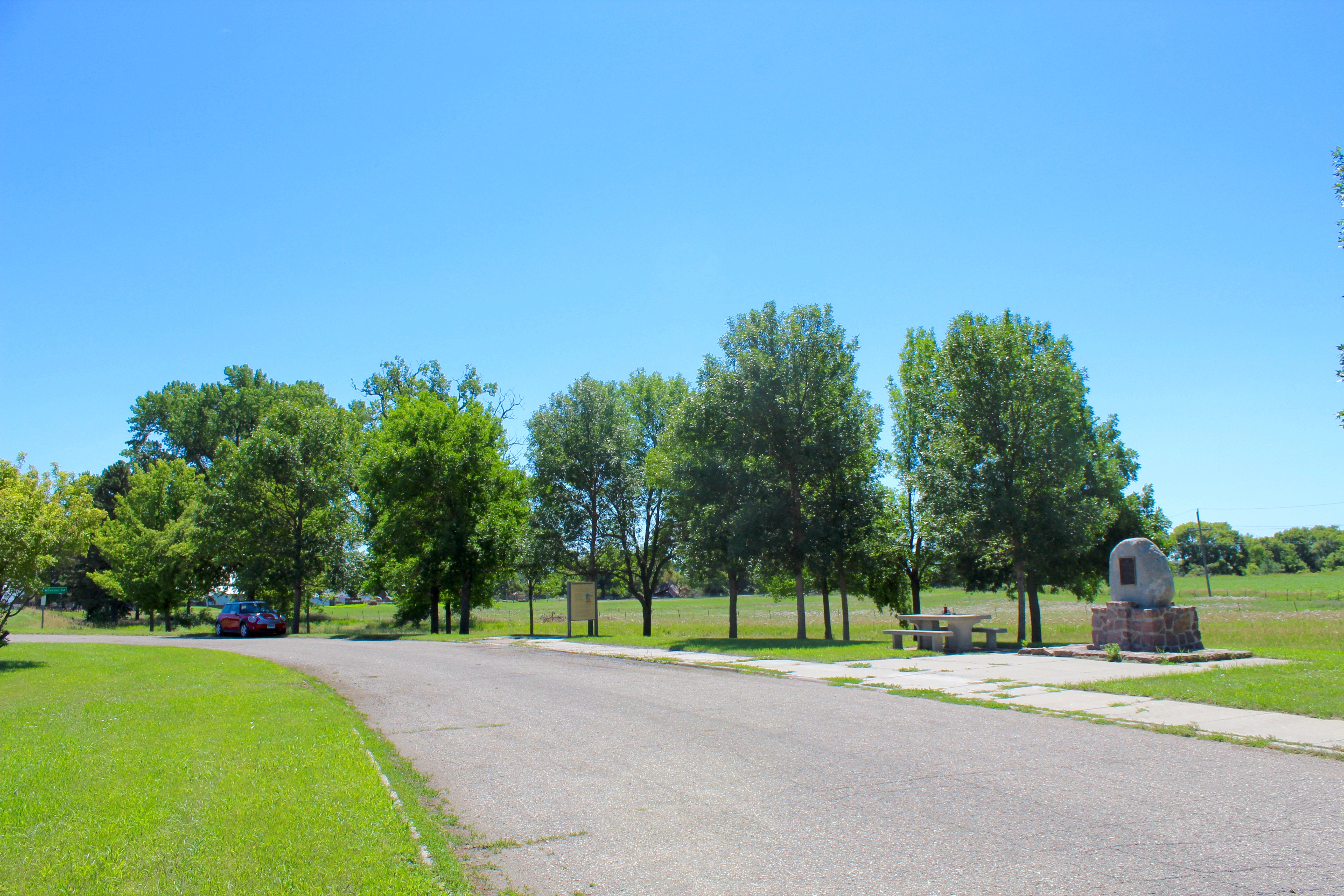
Wadswoth Trail Wayside
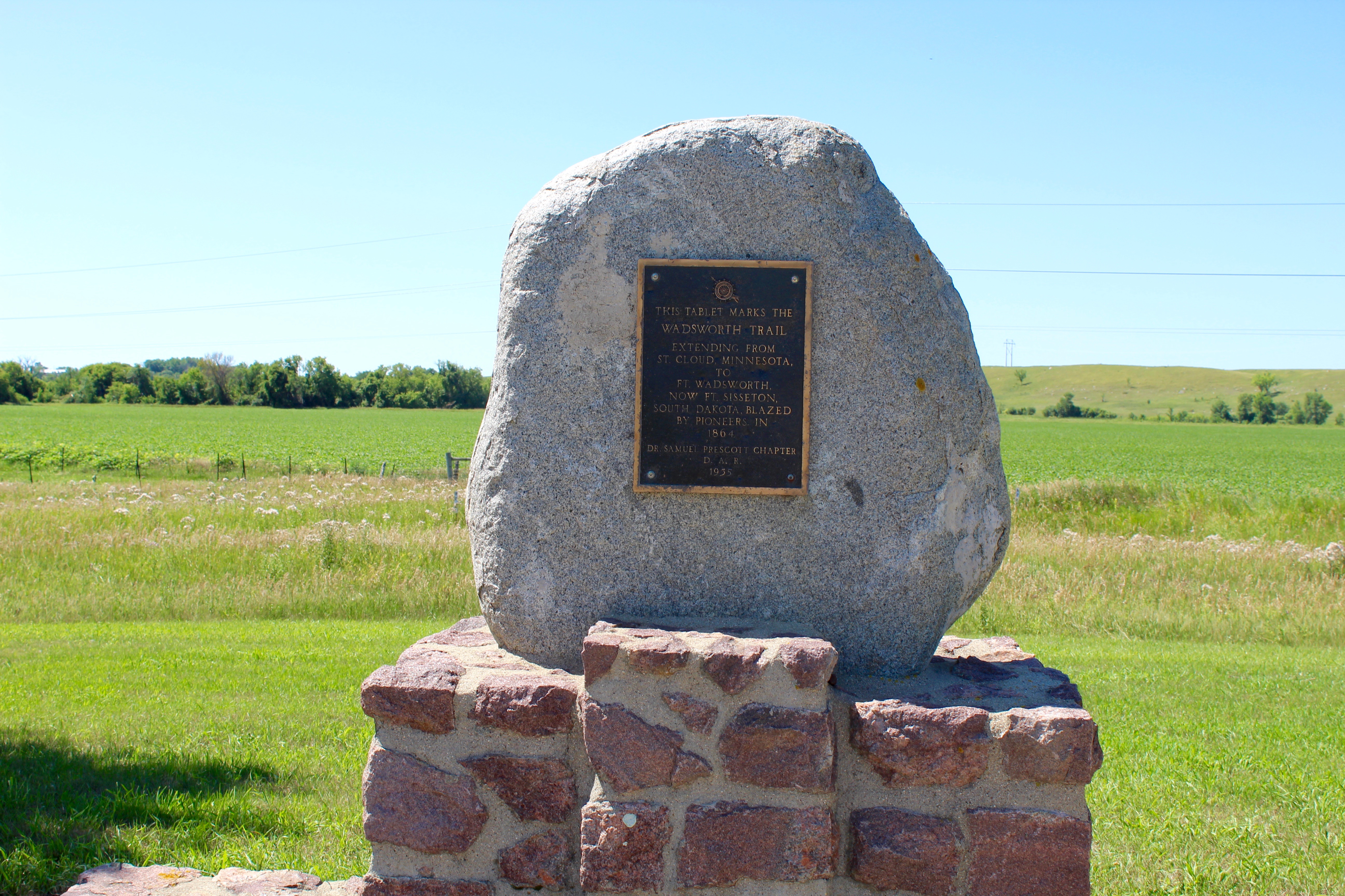
Wadswoth Trail
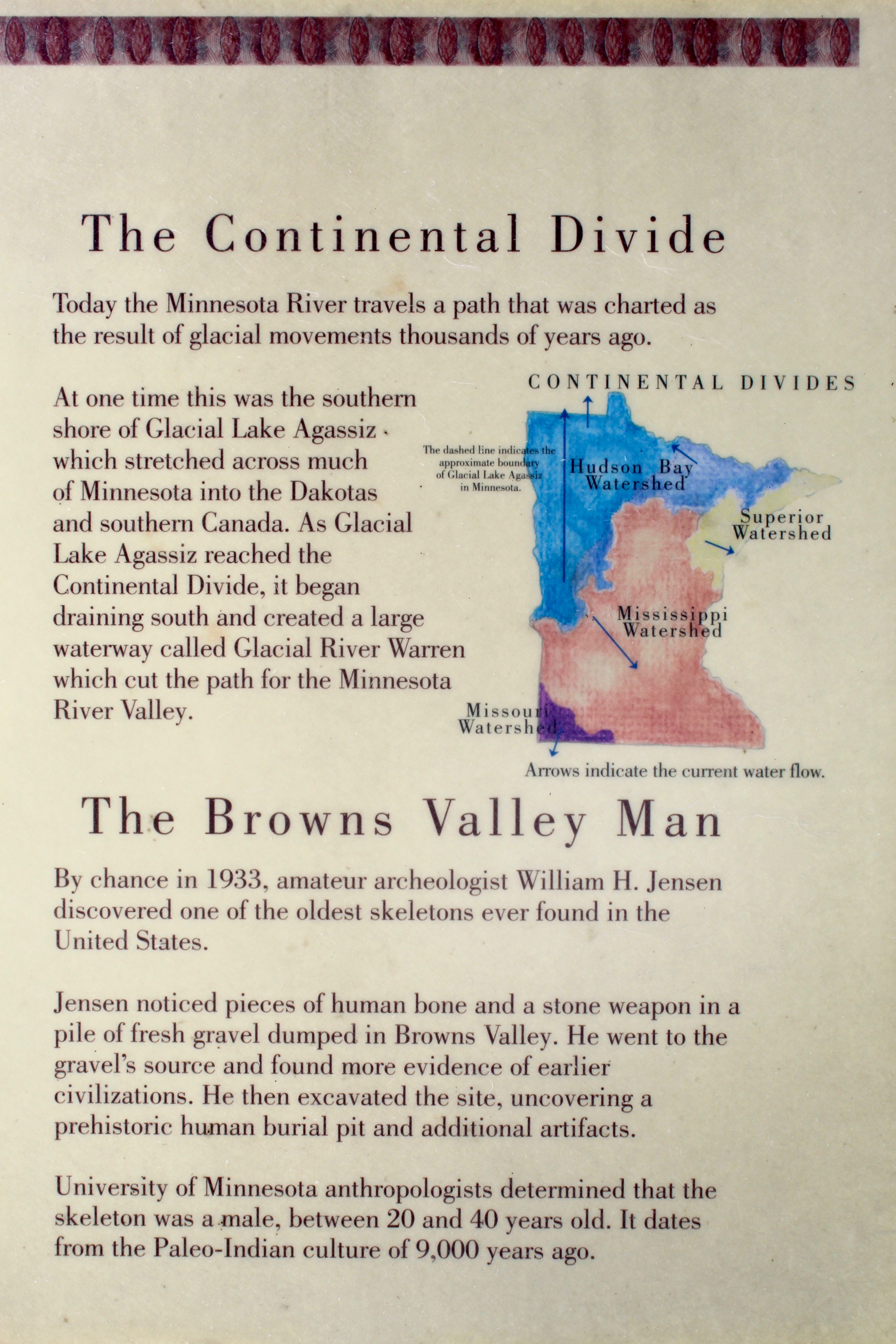
The Continental Divide / Brown's Valley Man

Parked In The Shade
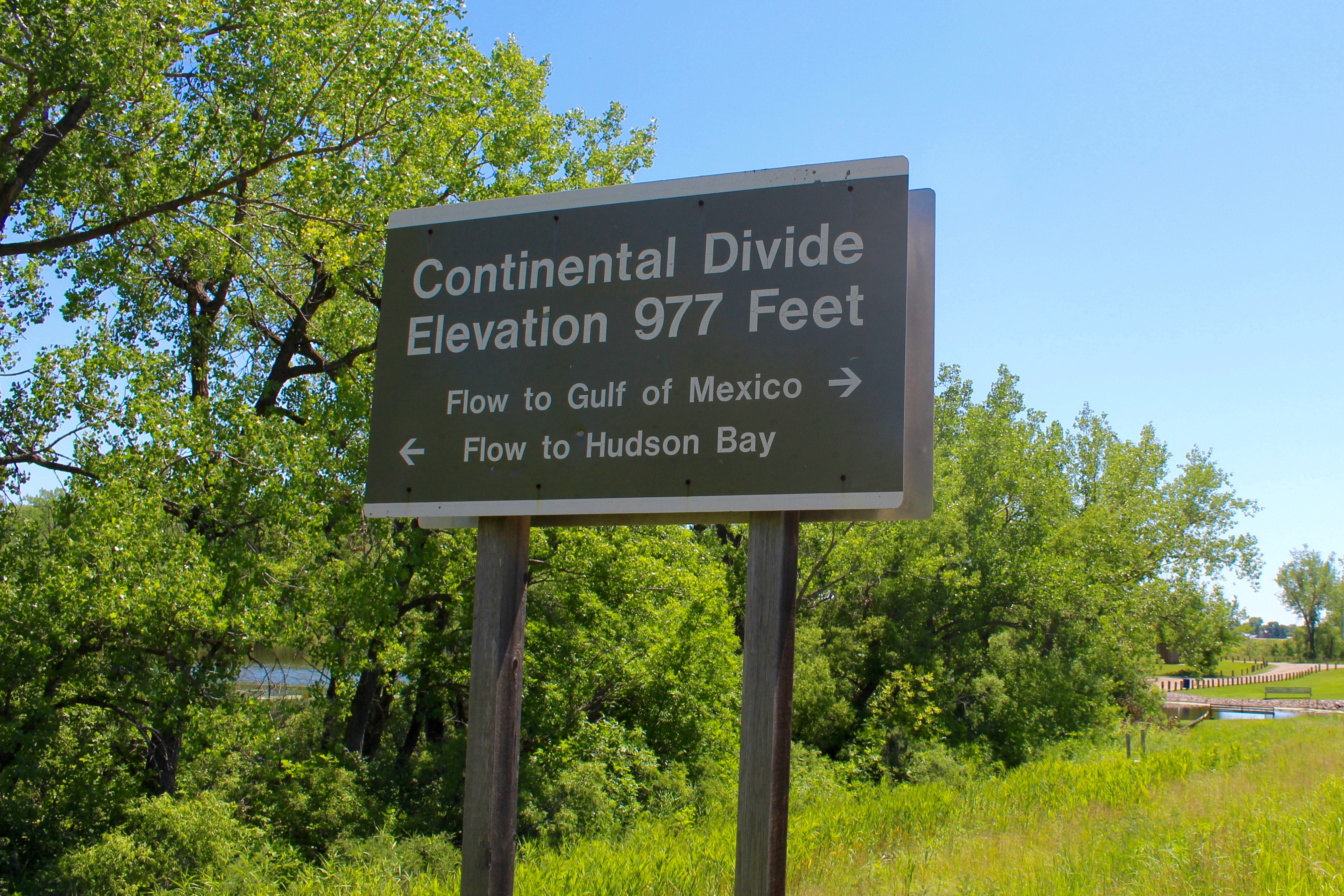
Continental Divide
State Line

Spotted Sandpiper

Semipalmated Plover

Bank building, Browns Valley

Continental divide sign, Browns Valley

Continental divide, Browns Valley
Topographic Map of Lake Traverse, United States
Find elevation by address:

Places near Lake Traverse, United States:
Windsor Township
Browns Valley
Broadway, Browns Valley, MN, USA
Rosholt
Lake Township
Lien Township
Peever
1700 3rd Ave S
Lawrence Township
Wheaton
Broadway, Wheaton, MN, USA
463rd Avenue
Wilmot, SD, USA
Wilmot
W St Peter Ave, Graceville, MN, USA
Graceville
Big Stone County
Graceville Township
Fairmount, ND, USA
Devillo
Recent Searches:
- Elevation of Corso Fratelli Cairoli, 35, Macerata MC, Italy
- Elevation of Tallevast Rd, Sarasota, FL, USA
- Elevation of 4th St E, Sonoma, CA, USA
- Elevation of Black Hollow Rd, Pennsdale, PA, USA
- Elevation of Oakland Ave, Williamsport, PA, USA
- Elevation of Pedrógão Grande, Portugal
- Elevation of Klee Dr, Martinsburg, WV, USA
- Elevation of Via Roma, Pieranica CR, Italy
- Elevation of Tavkvetili Mountain, Georgia
- Elevation of Hartfords Bluff Cir, Mt Pleasant, SC, USA