Elevation of Lake Saint Martin, Lake St Martin, Manitoba, Canada
Location: Canada > Manitoba > Division No. 18 >
Longitude: -98.465197
Latitude: 51.6530133
Elevation: 243m / 797feet
Barometric Pressure: 98KPa
Elevation Map:
Satellite Map:
Related Photos:

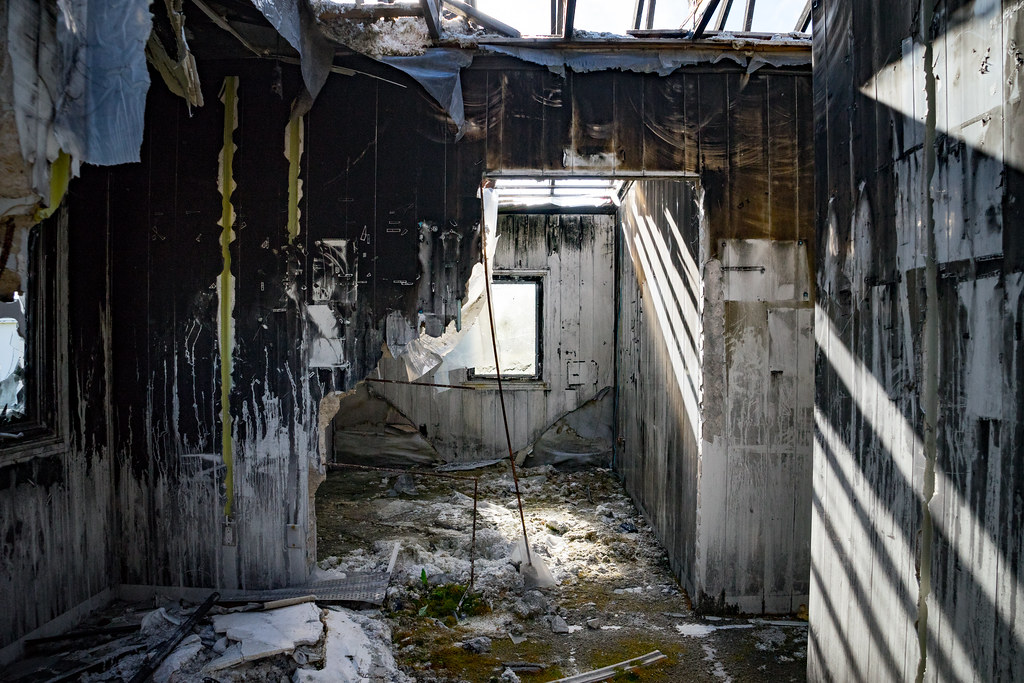
Abandoned First Nation
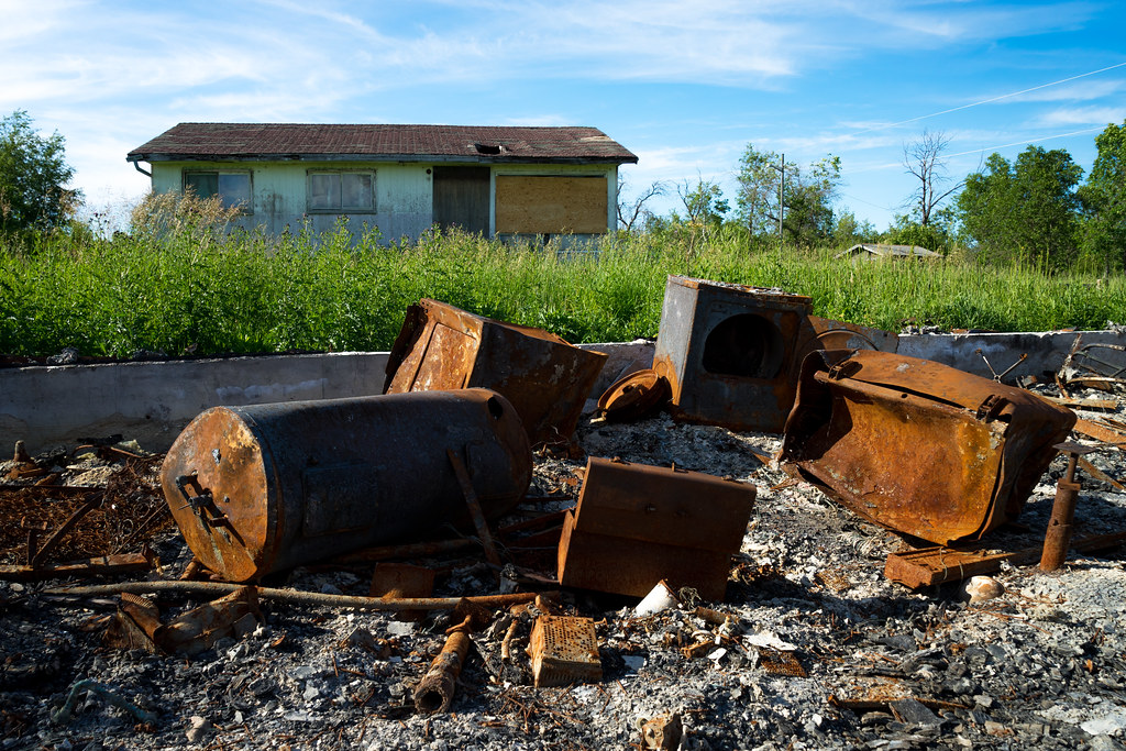
Abandoned First Nation
Abandoned First Nation

Renato Motta
Topographic Map of Lake Saint Martin, Lake St Martin, Manitoba, Canada
Find elevation by address:

Places near Lake Saint Martin, Lake St Martin, Manitoba, Canada:
2 2 St, Gimli, MB R0C, Canada
Gypsumville
Grahamdale
Steep Rock
Rorketon
Main St, Rorketon, MB R0L 1R0, Canada
Ste. Rose
5 Avenue East
Sainte Rose Du Lac
Lawrence
Laurier
Dauphin Lake
Mccreary
PTH, Ochre River, MB R0L 1K0, Canada
Recent Searches:
- Elevation of Corso Fratelli Cairoli, 35, Macerata MC, Italy
- Elevation of Tallevast Rd, Sarasota, FL, USA
- Elevation of 4th St E, Sonoma, CA, USA
- Elevation of Black Hollow Rd, Pennsdale, PA, USA
- Elevation of Oakland Ave, Williamsport, PA, USA
- Elevation of Pedrógão Grande, Portugal
- Elevation of Klee Dr, Martinsburg, WV, USA
- Elevation of Via Roma, Pieranica CR, Italy
- Elevation of Tavkvetili Mountain, Georgia
- Elevation of Hartfords Bluff Cir, Mt Pleasant, SC, USA