Elevation of Lake Paul, NS B0P 1P0, Canada
Location: Canada > Nova Scotia > Kings County > Kings, Subd. A > Aylesford >
Longitude: -64.678185
Latitude: 44.86891
Elevation: 250m / 820feet
Barometric Pressure: 98KPa
Elevation Map:
Satellite Map:
Related Photos:

The view from the water.

Our view

the time in between
Gaspereau Lake islands

The Dandelion Farm

Sunrise in Aldersville

South River Gorge2

Holly on Gaspereau Lake

Nice lake, good bass fishing

The perfect morning

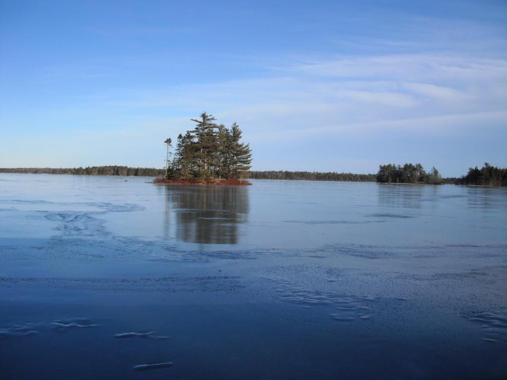
Islands and nice ice

_DSC1472.jpg
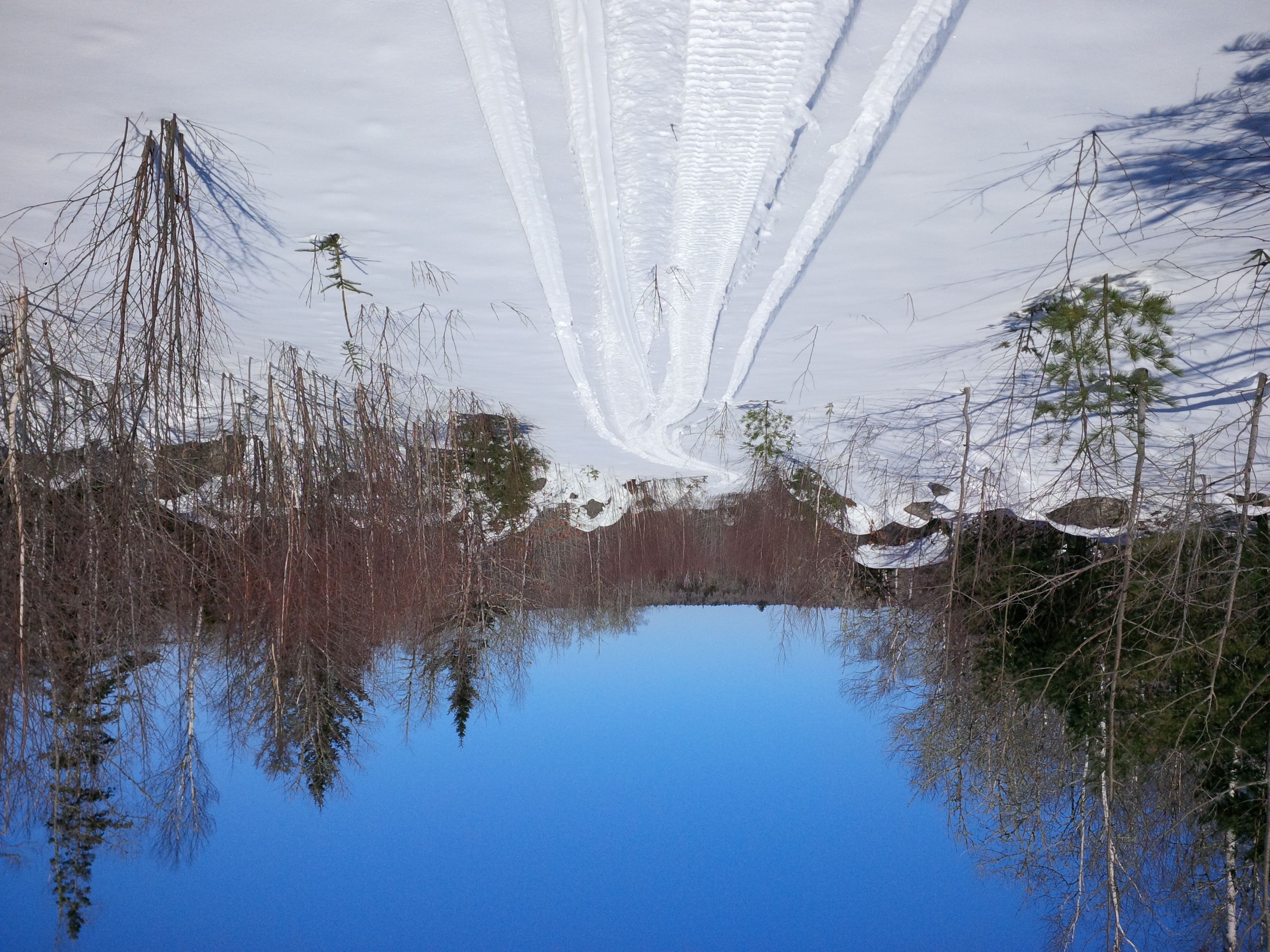
Trail 80 part2

_DSC1495.jpg

DSC_1850.jpg
Topographic Map of Lake Paul, NS B0P 1P0, Canada
Find elevation by address:

Places near Lake Paul, NS B0P 1P0, Canada:
132 Spruce Dr
NS-12, Cambridge, NS B0P 1G0, Canada
9 Beaver Bank Dr
Kings, Subd. C
NS-12, New Ross, NS B0J 2M0, Canada
3347 Barss Corner Rd
Little River Lake
1232 Farmington Rd
Robert Boulevard
NS-12, New Ross, NS B0J 2M0, Canada
Harriston
Farmington Road
2341 Newburne Rd
4879 Ns-12
New Ross
New Ross
New Ross
New Ross
New Ross
New Ross
Recent Searches:
- Elevation of Corso Fratelli Cairoli, 35, Macerata MC, Italy
- Elevation of Tallevast Rd, Sarasota, FL, USA
- Elevation of 4th St E, Sonoma, CA, USA
- Elevation of Black Hollow Rd, Pennsdale, PA, USA
- Elevation of Oakland Ave, Williamsport, PA, USA
- Elevation of Pedrógão Grande, Portugal
- Elevation of Klee Dr, Martinsburg, WV, USA
- Elevation of Via Roma, Pieranica CR, Italy
- Elevation of Tavkvetili Mountain, Georgia
- Elevation of Hartfords Bluff Cir, Mt Pleasant, SC, USA