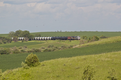
Elevation of Lake Park Fire Department, 2nd St, Lake Park, MN, United States
Location: United States > Minnesota > Becker County > Lake Park >
Longitude: -96.095074
Latitude: 46.8861627
Elevation: 410m / 1345feet
Barometric Pressure: 96KPa
Related Photos:
Topographic Map of Lake Park Fire Department, 2nd St, Lake Park, MN, United States
Find elevation by address:

Places near Lake Park Fire Department, 2nd St, Lake Park, MN, United States:
Lake Park
Lakeview Drive
US-10, Lake Park, MN, USA
Us-10 & Co Hwy 1
16491 192 St
Lake Park Township
Bijou Lake
Leaf Lake
Big Cormorant Lake
Cormorant Township
Middle Cormorant Lake
13489 310 St
Atlanta Township
Co Hwy 5, Pelican Rapids, MN, USA
Lake Eunice Township
9531 280th St S
52 W Front St, Hitterdal, MN, USA
Westbury
26321 70th Ave S
23649 Us-59
Recent Searches:
- Elevation of Corso Fratelli Cairoli, 35, Macerata MC, Italy
- Elevation of Tallevast Rd, Sarasota, FL, USA
- Elevation of 4th St E, Sonoma, CA, USA
- Elevation of Black Hollow Rd, Pennsdale, PA, USA
- Elevation of Oakland Ave, Williamsport, PA, USA
- Elevation of Pedrógão Grande, Portugal
- Elevation of Klee Dr, Martinsburg, WV, USA
- Elevation of Via Roma, Pieranica CR, Italy
- Elevation of Tavkvetili Mountain, Georgia
- Elevation of Hartfords Bluff Cir, Mt Pleasant, SC, USA
