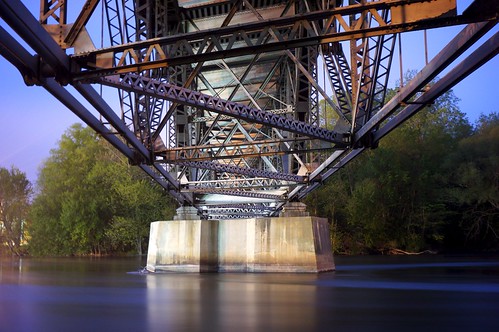
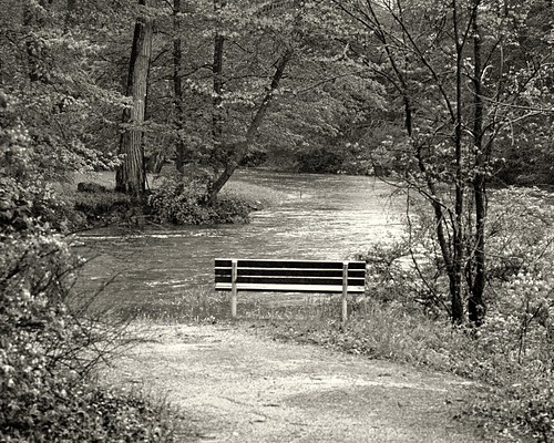
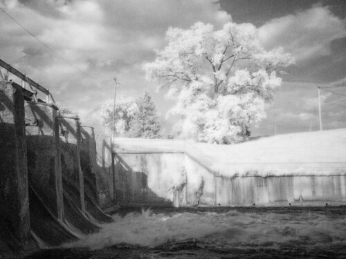
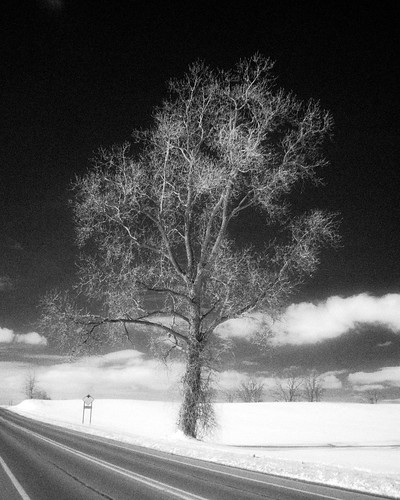
Elevation of Lake Chapin Rd, Berrien Springs, MI, USA
Location: United States > Michigan > Berrien County > Berrien Township >
Longitude: -86.360473
Latitude: 41.9185344
Elevation: 203m / 666feet
Barometric Pressure: 99KPa
Related Photos:
Topographic Map of Lake Chapin Rd, Berrien Springs, MI, USA
Find elevation by address:

Places near Lake Chapin Rd, Berrien Springs, MI, USA:
4321 E Tudor Rd
10620 Concord Dr
3500 E Shawnee Rd
9284 3rd St
N Cass St, Berrien Springs, MI, USA
Berrien Springs
Range Line Road
12710 Aalf's Rd
2532 Ridgewood Trail
10267 Garr Rd
3500 E Lemon Creek Rd
4597 Dogwood Dr
13200 Range Line Rd
13260 Range Line Rd
9645 Garr Rd
13638 Red Bud Trail N
5808 Daniel Boone Trail
9235 Garr Rd
8677 Meadowlark Ln
Dairy Drive
Recent Searches:
- Elevation of Corso Fratelli Cairoli, 35, Macerata MC, Italy
- Elevation of Tallevast Rd, Sarasota, FL, USA
- Elevation of 4th St E, Sonoma, CA, USA
- Elevation of Black Hollow Rd, Pennsdale, PA, USA
- Elevation of Oakland Ave, Williamsport, PA, USA
- Elevation of Pedrógão Grande, Portugal
- Elevation of Klee Dr, Martinsburg, WV, USA
- Elevation of Via Roma, Pieranica CR, Italy
- Elevation of Tavkvetili Mountain, Georgia
- Elevation of Hartfords Bluff Cir, Mt Pleasant, SC, USA
