Elevation of Laird Lake Campground, Port Orford, OR, United States
Location: United States > Oregon > Port Orford >
Longitude: -124.20461
Latitude: 42.7012714
Elevation: 629m / 2064feet
Barometric Pressure: 94KPa
Elevation Map:
Satellite Map:
Related Photos:
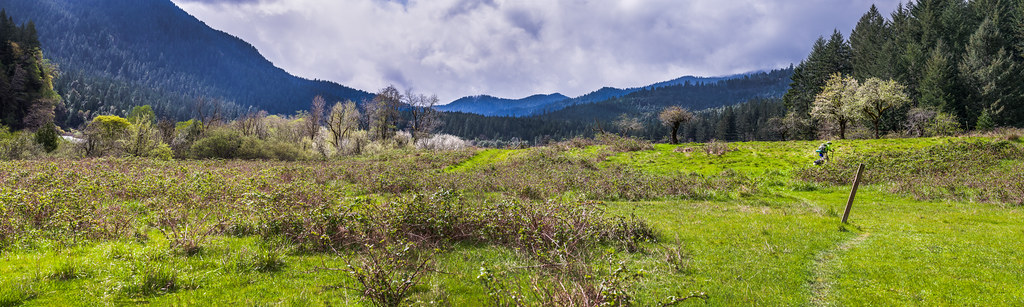
Big Bend Meadow, the end of the Rogue trail
Topographic Map of Laird Lake Campground, Port Orford, OR, United States
Find elevation by address:

Places near Laird Lake Campground, Port Orford, OR, United States:
Lobster Creek Road
Illahe
Curry County
96258 Euchre Creek Rd
96258 Euchre Creek Rd
Agness
34501 Agness Illahe Rd
4215 Agness Rd
4219 Agness Rd
4135 Agness Rd
97420 Co Hwy 545
97420 Co Hwy 545
97420 Co Hwy 545
97420 Co Hwy 545
331 4th Ave
524 2nd Ave
Powers
Ophir
151 W Date St
35400 Us-101
Recent Searches:
- Elevation of Corso Fratelli Cairoli, 35, Macerata MC, Italy
- Elevation of Tallevast Rd, Sarasota, FL, USA
- Elevation of 4th St E, Sonoma, CA, USA
- Elevation of Black Hollow Rd, Pennsdale, PA, USA
- Elevation of Oakland Ave, Williamsport, PA, USA
- Elevation of Pedrógão Grande, Portugal
- Elevation of Klee Dr, Martinsburg, WV, USA
- Elevation of Via Roma, Pieranica CR, Italy
- Elevation of Tavkvetili Mountain, Georgia
- Elevation of Hartfords Bluff Cir, Mt Pleasant, SC, USA