Elevation of Laceywood Ct SE, Yelm, WA, USA
Location: United States > Washington > Thurston County > Yelm >
Longitude: -122.46109
Latitude: 46.8244073
Elevation: 178m / 584feet
Barometric Pressure: 99KPa
Elevation Map:
Satellite Map:
Related Photos:
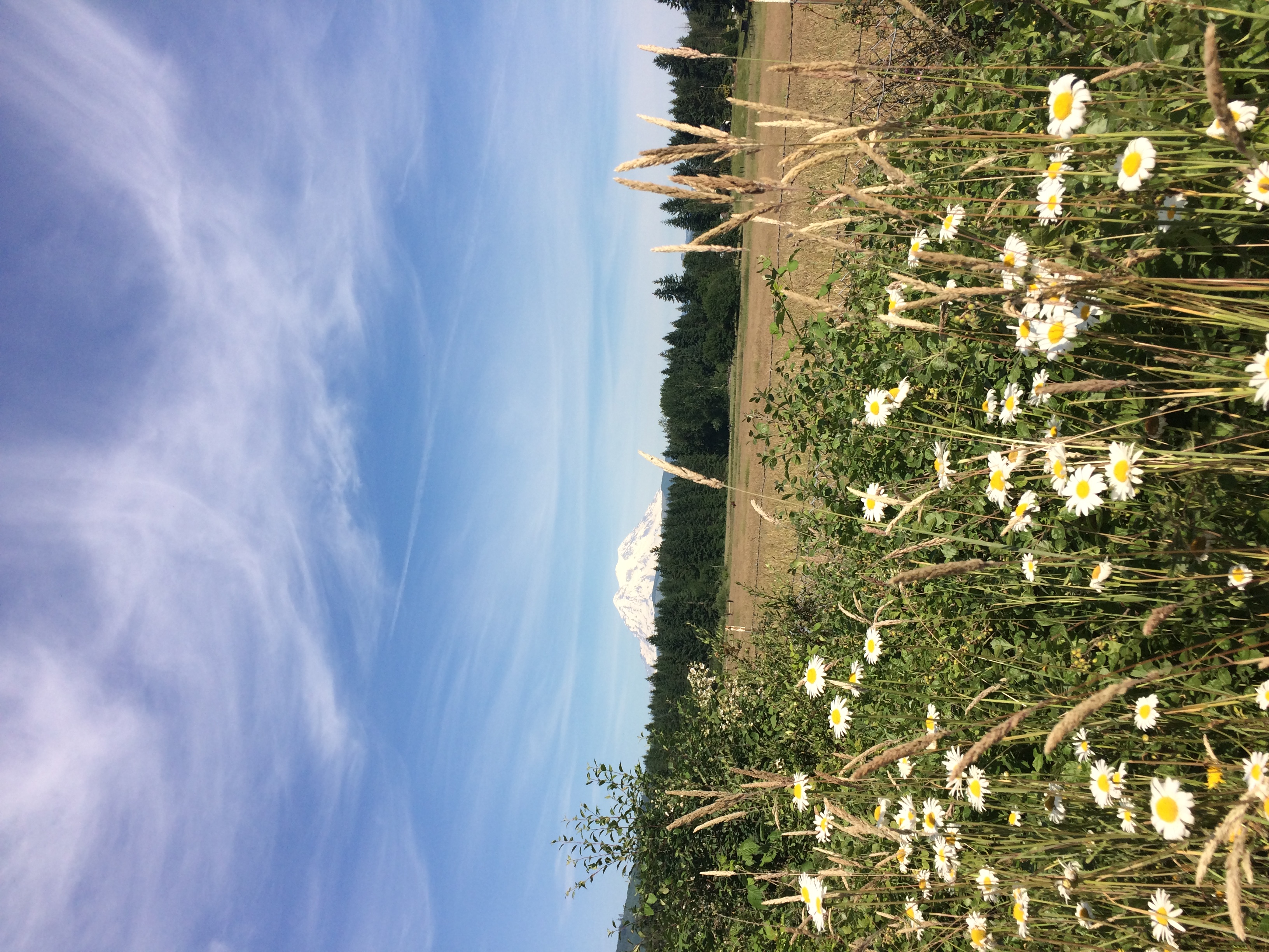
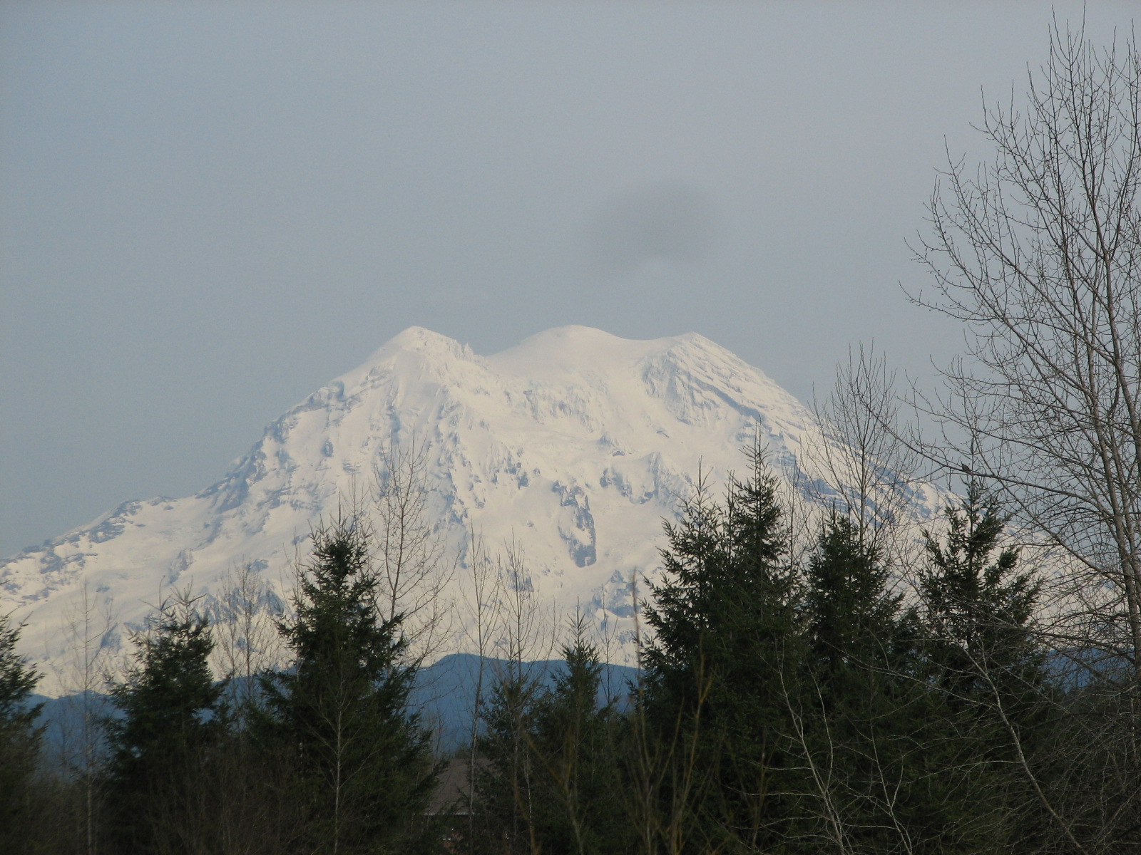
What a view..
Alder Cutoff Road
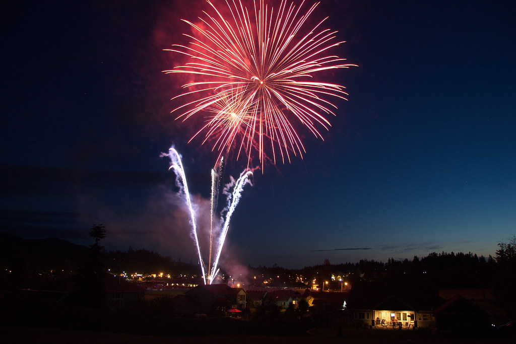
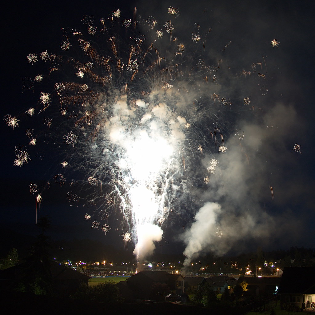
Lakeside Lightshow

Truncated Glen

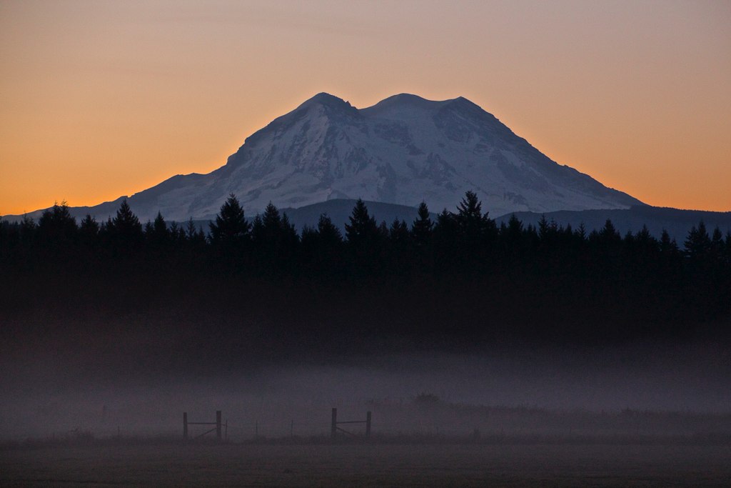
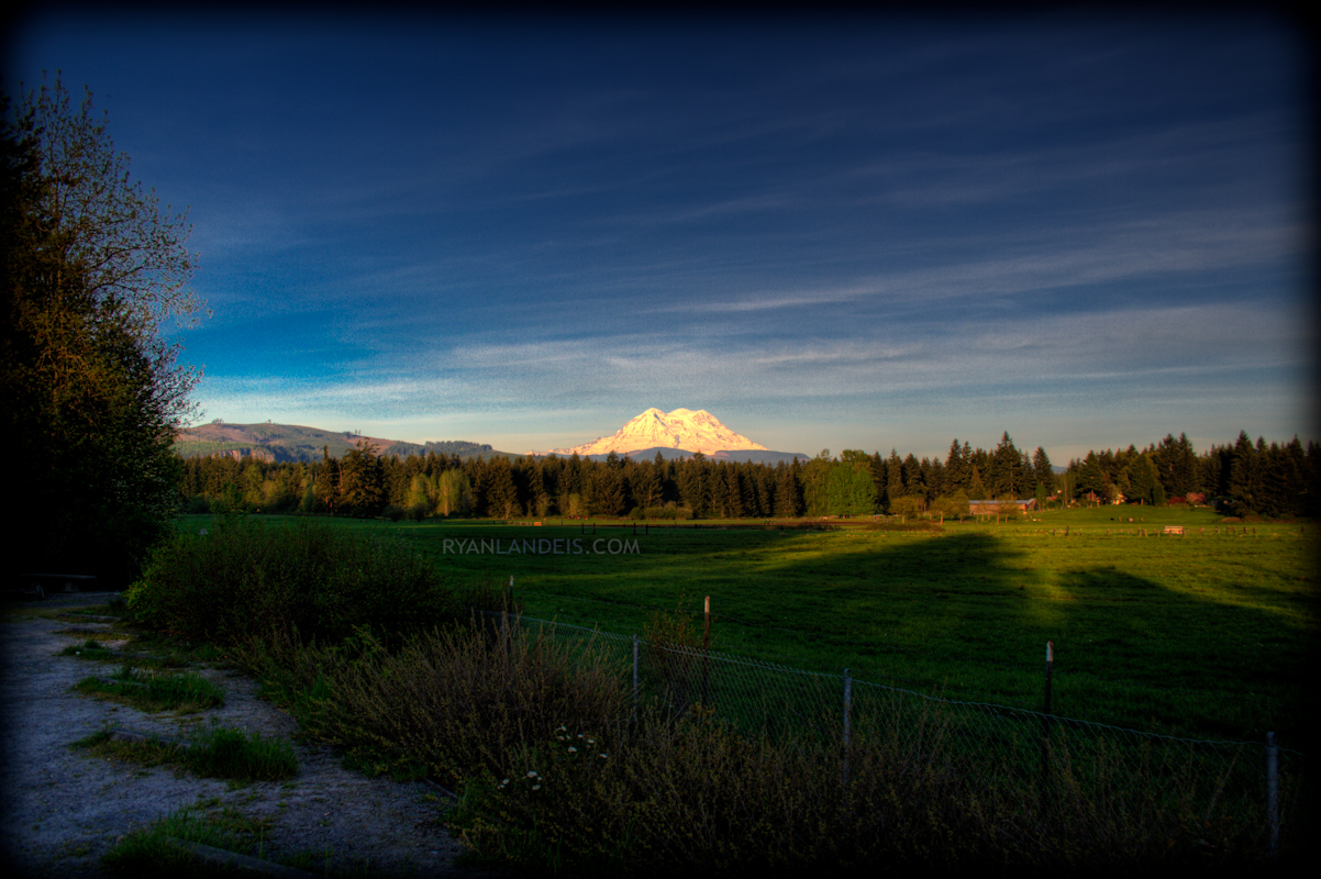
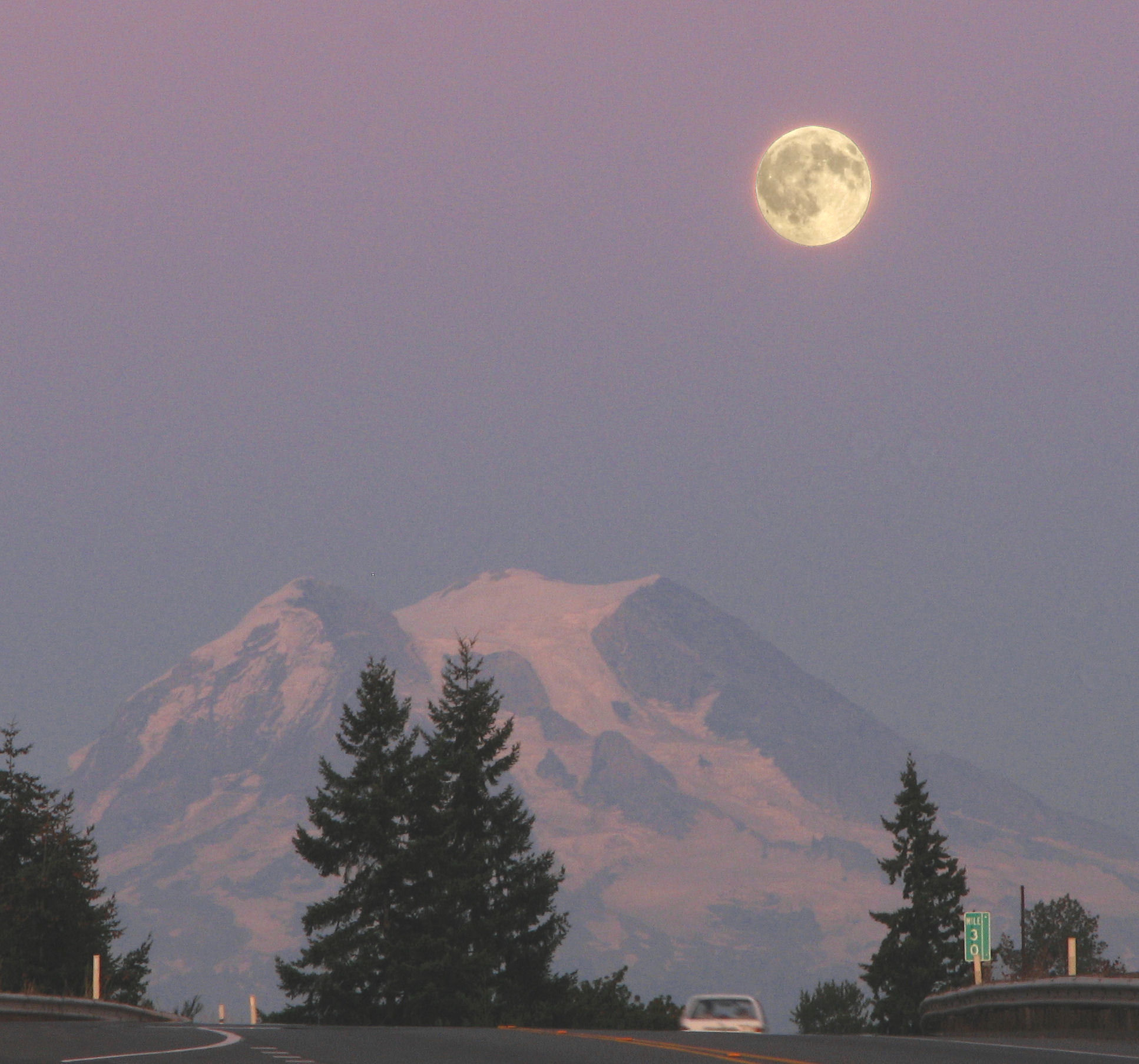
Mount Rainier Sunset
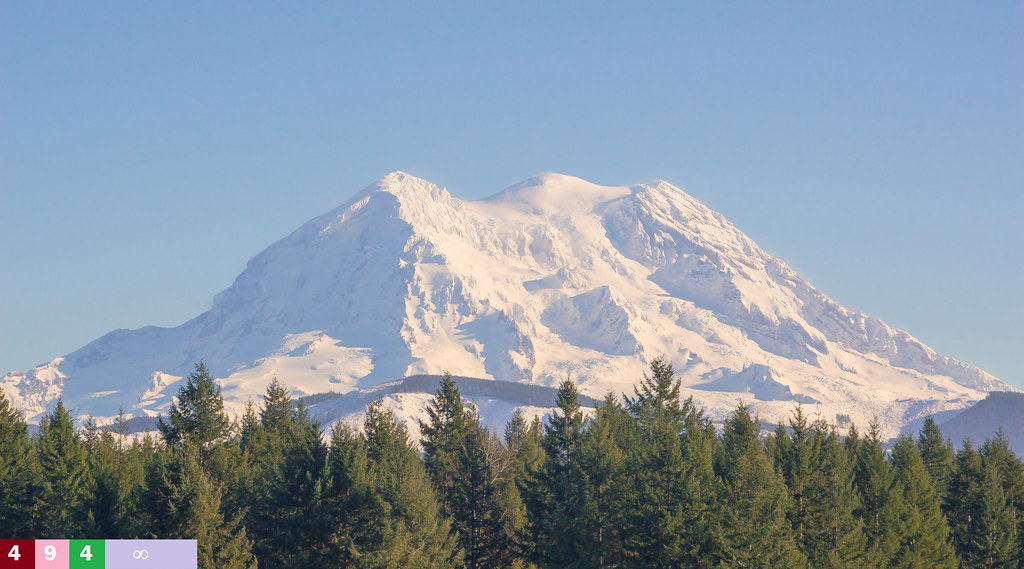
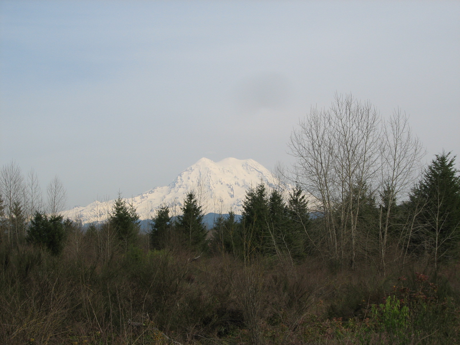
Mt. Rainier 2
Scenic route, Rainier view
Mt Rainier HDR (Edit 1)
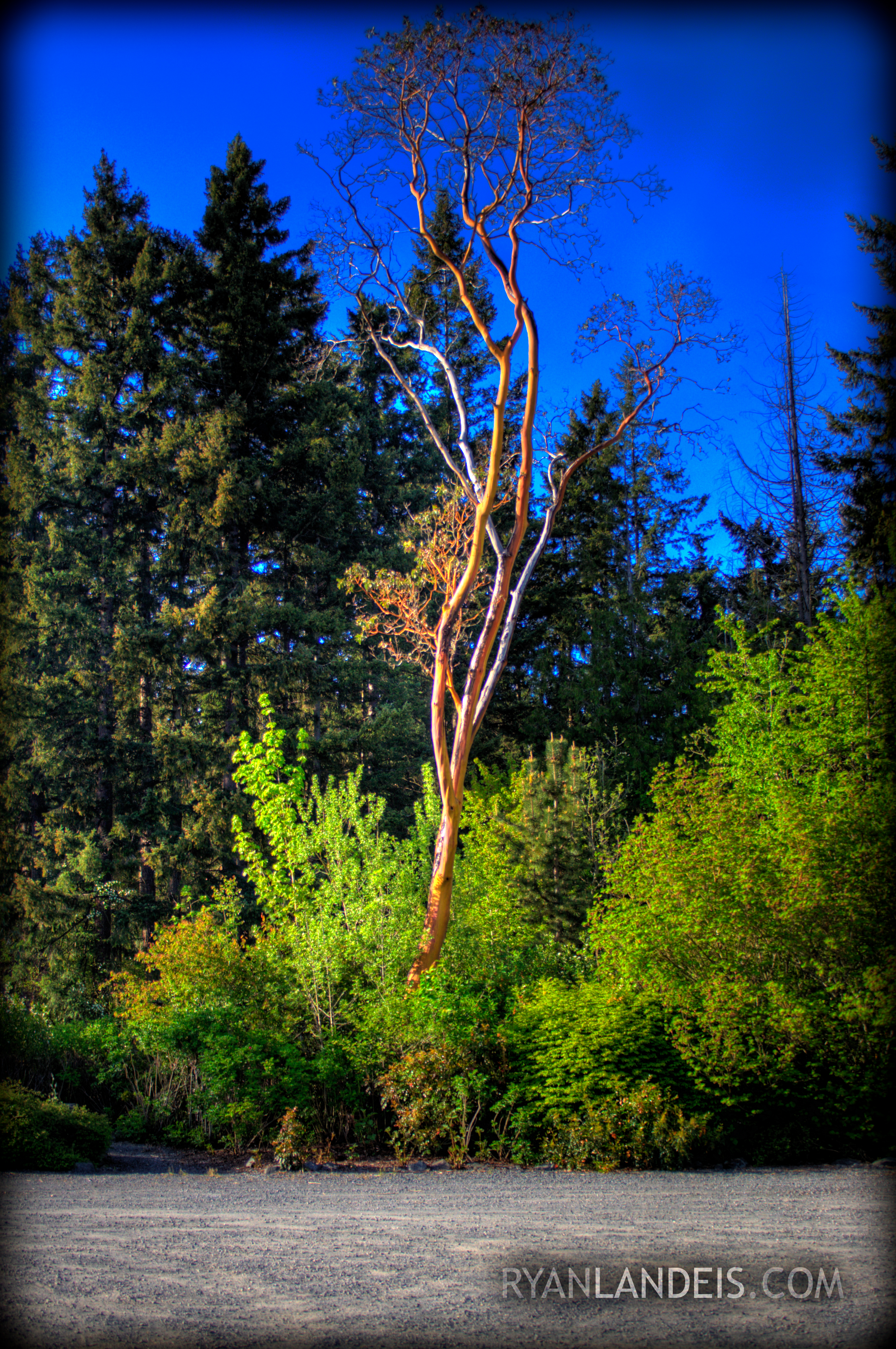
HDR Tree
Mt Rainier HDR (Edit 3)
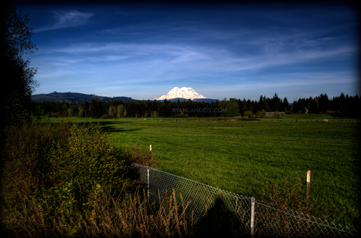
The Dominant View
Light over Eatonville I
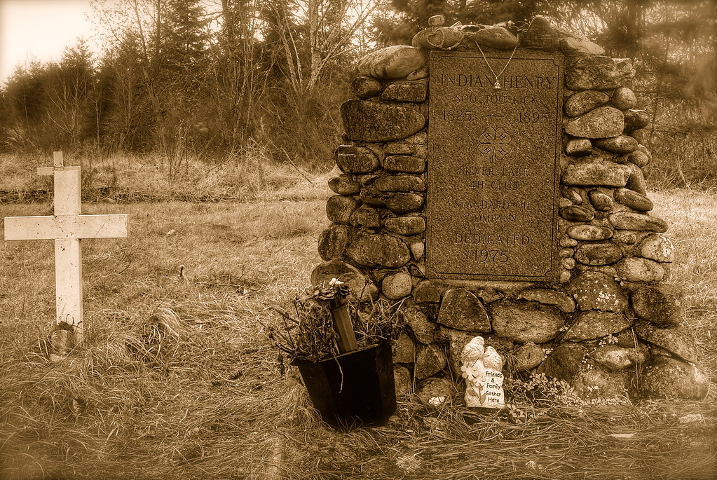
Grave of Indian Henry
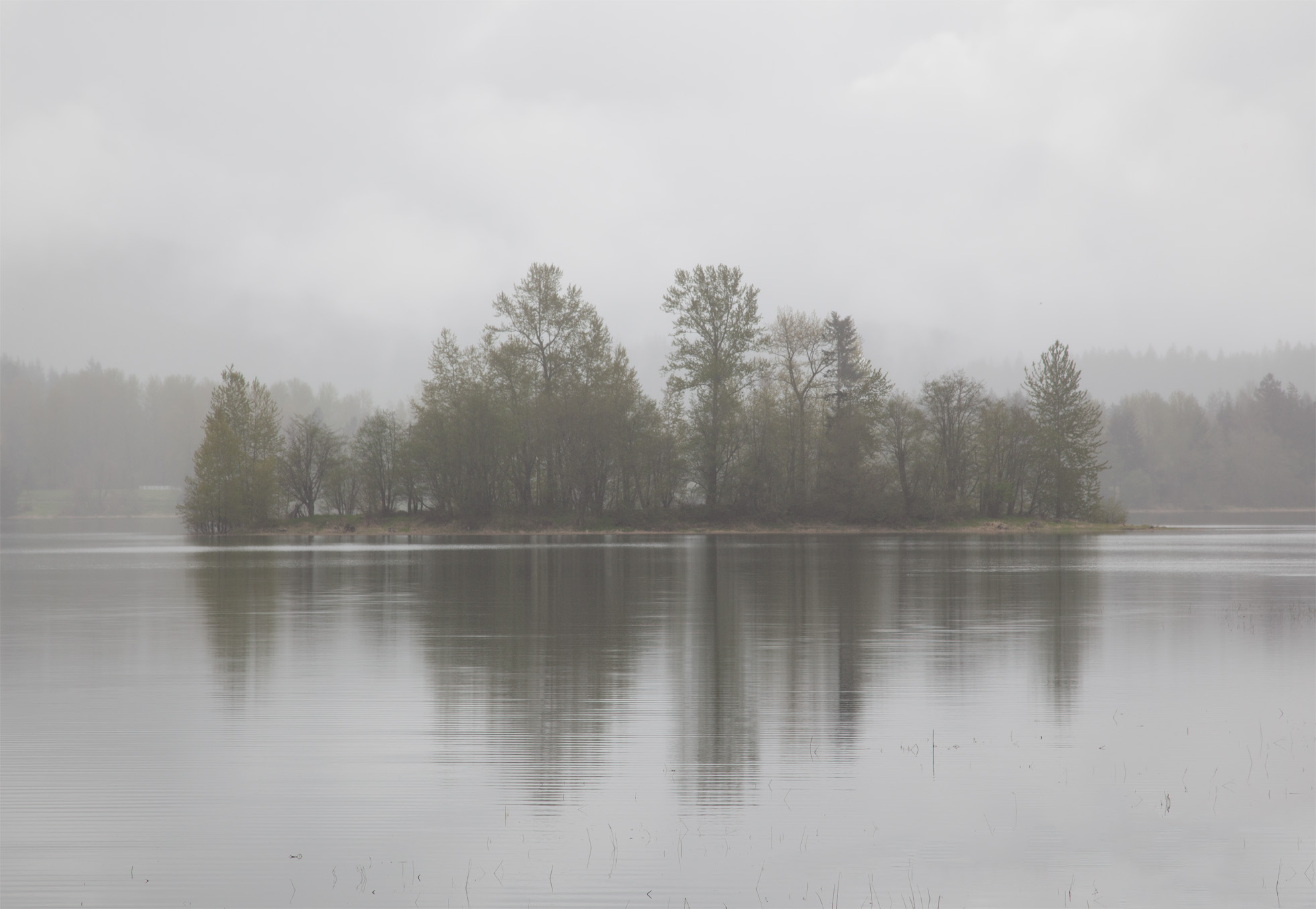
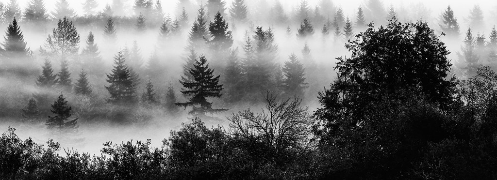
A Misty Reflection
mountaincrest 009
Light over Eatonville II
Rear view mirror
mountaincrest 008

Moment of victory
Mount Rainier

Mt Rainier National Park - Washington
Lower Little Mashel Falls

Alder Lake trip - IPhone
Lilliputian Of Mashel
Sunrise with a post
from behind Middle Falls of Little Mashel
little mashel middle falls eatonville wa

Deschutes River

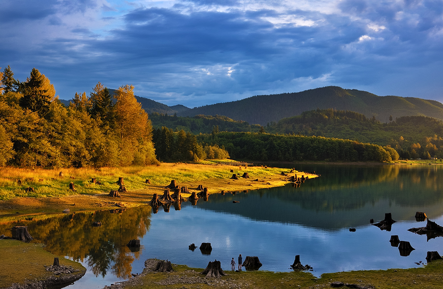
Alder Lake, Drained ['Splored!]
Deschutes River with Snow
Little Mashel Middle Falls
Little Mashel Falls
Old Road

Beaver Dam

Lawrence Lake West
Road through snowy forest
From behind Little Mashel middle falls

Sky Shadow
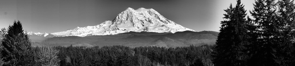
Mt Rainier B&W
Sunrise in tall firs
Topographic Map of Laceywood Ct SE, Yelm, WA, USA
Find elevation by address:

Places near Laceywood Ct SE, Yelm, WA, USA:
18014 Upland Dr Se
18141 Hi-lo Ct Se
17824 Overlake Ct Se
17602 Clear Lake Blvd Se
18311 Bald Hill Rd Se
Clearwood Community Association
22820 Trails End Rd Se
173rd Avenue Southeast
16122 Lemuria Ln Se
21849 Hobson Rd Se
44417 14th Ave E
41908 40th Ave Ct S
41101 Tanwax Rd S
2908 388th St Ct S
2908 388th St Ct S
2908 388th St Ct S
2908 388th St Ct S
2908 388th St Ct S
104 390th St S
37612 22nd Ave S
Recent Searches:
- Elevation of Corso Fratelli Cairoli, 35, Macerata MC, Italy
- Elevation of Tallevast Rd, Sarasota, FL, USA
- Elevation of 4th St E, Sonoma, CA, USA
- Elevation of Black Hollow Rd, Pennsdale, PA, USA
- Elevation of Oakland Ave, Williamsport, PA, USA
- Elevation of Pedrógão Grande, Portugal
- Elevation of Klee Dr, Martinsburg, WV, USA
- Elevation of Via Roma, Pieranica CR, Italy
- Elevation of Tavkvetili Mountain, Georgia
- Elevation of Hartfords Bluff Cir, Mt Pleasant, SC, USA