Elevation of Labrosse St, St-Eugène, ON K0B 1P0, Canada

Location: Canada > Ontario > Prescott And Russell United Counties > East Hawkesbury > St-eugène >

Longitude: -74.465133

Latitude: 45.4991164

Elevation: 52m / 171feet

Barometric Pressure: 101KPa

Elevation Map:

elevation map of Labrosse St, St-Eugène, ON K0B 1P0, Canada

Satellite Map:

Satellite map of Labrosse St, St-Eugène, ON K0B 1P0, Canada

Related Photos:

canada sign photoshop canon eos quebec 5d curve rigaud lightroom canoneos5d canonef24105mmf4lisusm
Curve ahead
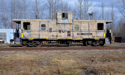
ontario cn caboose van canadiannational vankleekhill vankleekspur cn79834
Broadside view
canada canadaday patriotism itsawonderfulworld captureasummer
canada flag
quote bubbles bubble captureasummer
the world as a bubble
gaby edited bubbles bubble
bubble trouble
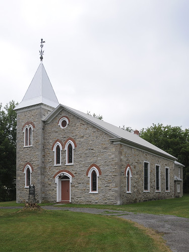
church église saintandrédargenteuil pl29juil11
pl29juil11christchurch2 copy
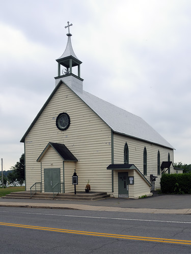
church église saintandrédargenteuil pl29juil11
pl29juil11standrew2 copy
ontario hdr campsite voyageur voyageurprovincialpark
Around Our Site
church église carillon pl29juil11
pl29juil11stjoseph1 copy
geotagged geolat454584199755385 geolon743334272425883
DSC_1814.JPG
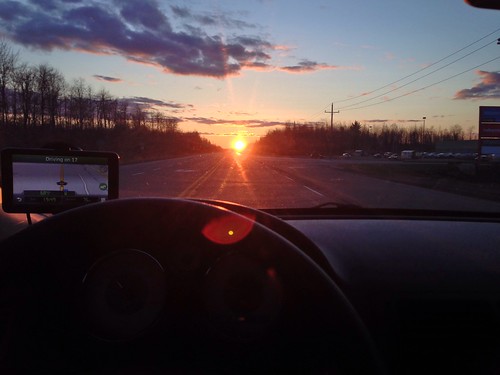
road camera city sunset summer sky sun white snow ontario canada storm mountains hot macro slr nature beautiful clouds sunrise canon airplane photography eos rebel dawn landscapes scenery driving skies view dusk britishcolumbia exploring ottawa jets jet trails windy stormy views heat gatineau cottoncandy imagination thunderstorm setting majestic birdseyeview mothernature cloudporn chemtrails cloudscapes t3i upupandaway ontheroadagain clearbluesky intheclouds redskyatnightsailorsdelight iphone5 redskyinthemorningsailorswarning follow4follow earthporn like4like
Clouds, Skies, Sunsets.
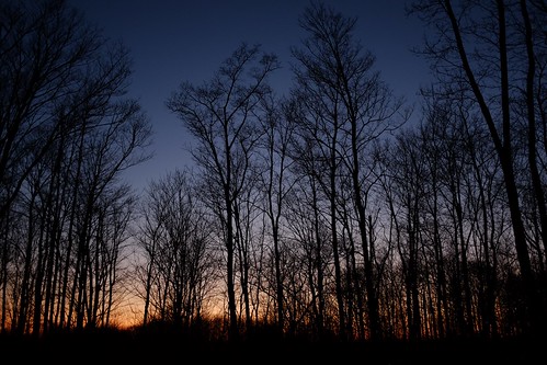
trees silhouette bluehour sooc aubergedesgallant x100s 2152015 image48215 215in2015
Blue hour, maple sugar edition | 48/215
square squareformat iphoneography instagramapp uploaded:by=instagram
#vscocam #camping
skyline square squareformat iphoneography instagramapp uploaded:by=instagram
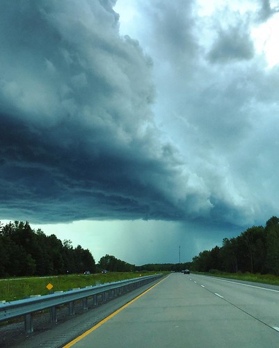
into the storm #clouds #????
square squareformat iphoneography instagramapp uploaded:by=instagram
#VSCOcam
clouds day214 vankleekhill project365 eosm day214365 3652013 365the2013edition 02aug13
The end of the road || 214/365
Dernière coupe
square squareformat iphoneography instagramapp uploaded:by=instagram
#VSCOcam
square squareformat iphoneography instagramapp uploaded:by=instagram
#VSCOcam
Moment présent
square squareformat iphoneography instagramapp uploaded:by=instagram foursquare:venue=4c812eb4e602b1f7dd3f907a
Wayward Sky #selfportrait #gorillapod
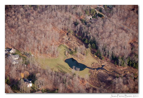
photography photo photographie aviation air aerial aérienne rivesud rivenord
Chemin de la sucrerie, chemin Deer Hill, Rigaud
watercolor quebec aquarelle hydro encre stillman birn
Icône du paysage québécois :: Quebec Landscape Icon
Au travers
trees sky tree nature beautiful field standing canon landscape stand photo image outdoor mark farm wheat peaceful farmland photograph ii 5d markii canon5dmarkii bikesroads
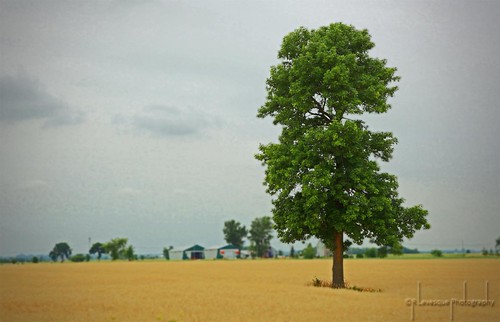
Lonely Tree
IMG_3293.JPG
20140607
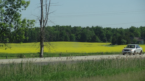
Canola Field before arriving in Quebec
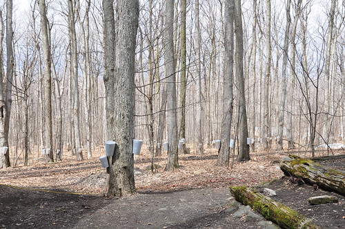
canada montagne maple québec april syrup avril printemps cabane rigaud sucre sirop sucrerie érablière
Sucrerie de la Montagne
IMG_3300.JPG
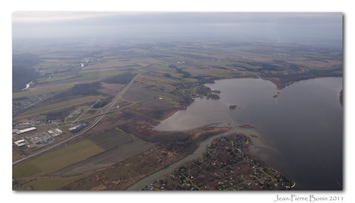
photography photo photographie aviation air aerial aérienne rivesud rivenord
Lac des Deux-Montagnes, Rigaud, Rivière Rigaud, Bais des Jules, Baie de Rigaud, Île Rita
IMG_3297.JPG