Elevation of LA-, White Castle, LA, USA
Location: United States > Louisiana > Iberville Parish > > White Castle >
Longitude: -91.178318
Latitude: 30.1220868
Elevation: 4m / 13feet
Barometric Pressure: 101KPa
Elevation Map:
Satellite Map:
Related Photos:

Nottoway Plantation House (side view)

Nottoway Plantation front view
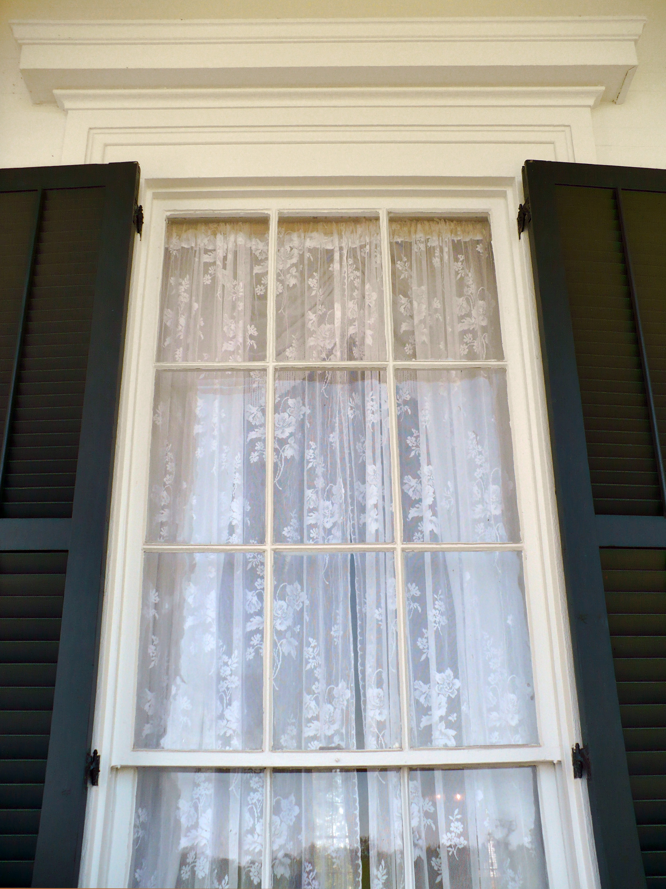
Nottoway Plantation window head

Maryland Farms Oak, Lone Oak Cemetery, Carville, LA.

lean-flight-11-19-2015-8055

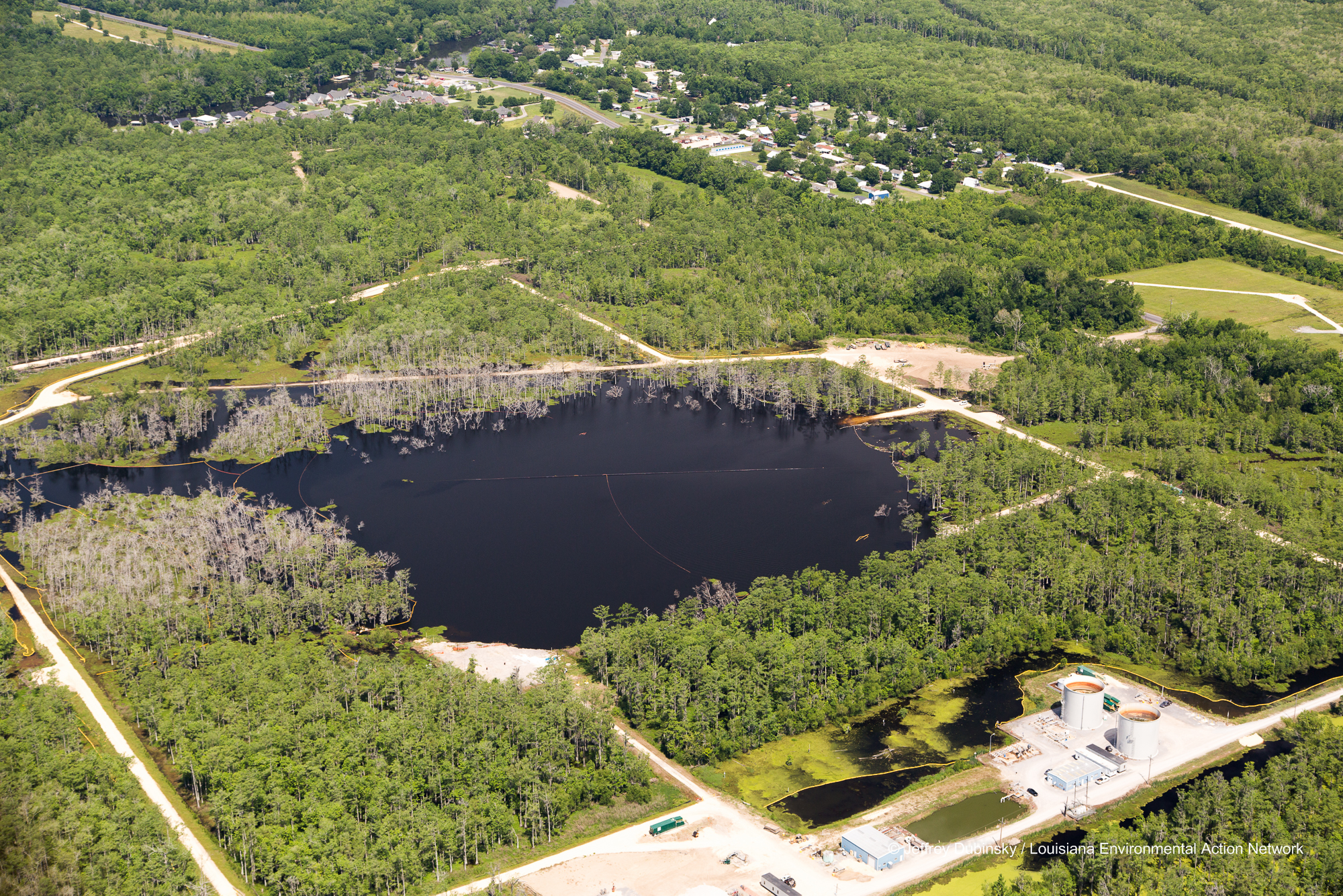
Bayou Corne Sinkhole

Bayou Corne Sinkhole

lean-flight-11-19-2015-8078

New Pad - Bayou Corne Sinkhole

Bayou Corne Sinkhole Aerial Images 6-21-13LEAN045400005506211306212013

Bayou Corne Sinkhole Aerial Images 6-21-13LEAN052900012806211306212013

IMG_7594 swamp pretty

Bayou Corne Sinkhole Aerial Images 6-21-13LEAN049500009606211306212013

Bayou Corne Sinkhole Aerial Images 6-21-13LEAN053000012906211306212013

Bayou Corne Sinkhole

Bayou Corne Sinkhole Aerial Images Brine Tanks 6-21-13LEAN043200003306211306212013
lmrk-lean-flight--flickr-5-2-14-0026

lmrk-lean-flight--flickr-5-2-14-0035

lmrk-lean-flight--flickr-5-2-14-0022

lmrk-lean-flight--flickr-5-2-14-0030

Bayou Corne Sinkhole and Community Aerial Images 6-21-13LEAN043400003506211306212013

lean-photo-enforcement-flight-9-17-14-0234

lmrk-lean-flight--flickr-5-2-14-0039

lmrk-lean-flight--flickr-5-2-14-0021
Topographic Map of LA-, White Castle, LA, USA
Find elevation by address:

Places near LA-, White Castle, LA, USA:
Fifty-Foot Rd, White Castle, LA, USA
58540 Trabeaux Ln
58235 New Camp Rd
White Castle
Nottoway Plantation & Resort
3, LA, USA
Augusta
59020 Augusta Rd
Donaldsonville, LA, USA
Frank Noel Jr Rd, Donaldsonville, LA, USA
2, LA, USA
1, LA, USA
Bayou Pigeon Rd, Plaquemine, LA, USA
Morris St, Carville, LA, USA
10, LA, USA
Bayou Sorrel Locks
Gulf Intracoastal Waterway
26120 Winter St
33663 Bayou Sorrell Rd
Recent Searches:
- Elevation of Corso Fratelli Cairoli, 35, Macerata MC, Italy
- Elevation of Tallevast Rd, Sarasota, FL, USA
- Elevation of 4th St E, Sonoma, CA, USA
- Elevation of Black Hollow Rd, Pennsdale, PA, USA
- Elevation of Oakland Ave, Williamsport, PA, USA
- Elevation of Pedrógão Grande, Portugal
- Elevation of Klee Dr, Martinsburg, WV, USA
- Elevation of Via Roma, Pieranica CR, Italy
- Elevation of Tavkvetili Mountain, Georgia
- Elevation of Hartfords Bluff Cir, Mt Pleasant, SC, USA