Elevation of La Ronge, SK, Canada
Location: Canada > Saskatchewan > Division No. 18 >
Longitude: -105.28598
Latitude: 55.10823
Elevation: 373m / 1224feet
Barometric Pressure: 97KPa
Elevation Map:
Satellite Map:
Related Photos:
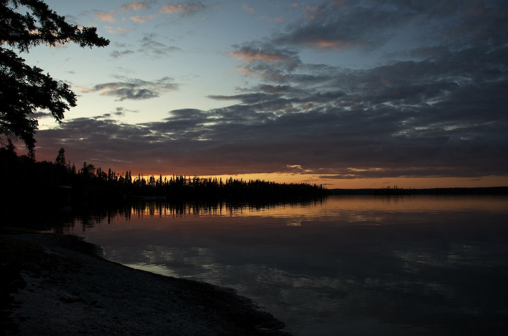
Last Light
Unending School of Minnows
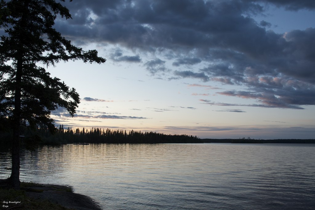
Approaching Dusk
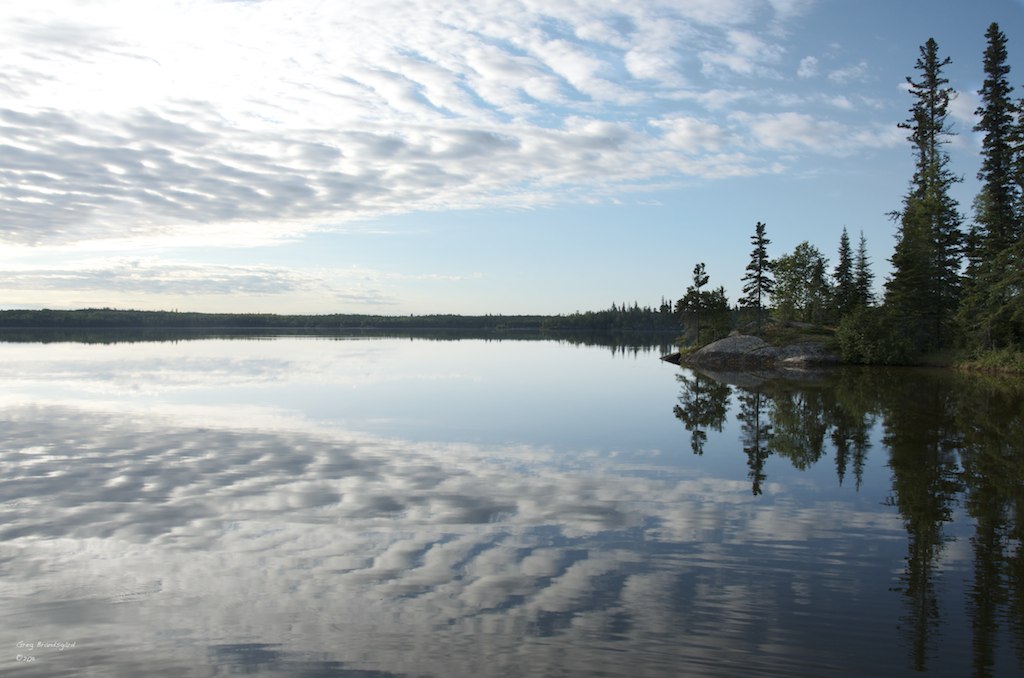
Reflections on Lac La Ronge
Gunnar on Lac La Ronge
Dusk on a Northern Lake

FJI_3388_89_90_91_92.jpg
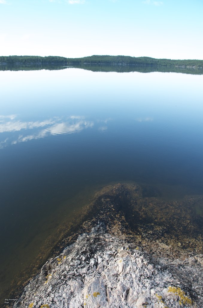
Water's Edge
Aug 24 - 26 2018
Topographic Map of La Ronge, SK, Canada
Find elevation by address:

Places in La Ronge, SK, Canada:
Places near La Ronge, SK, Canada:
Recent Searches:
- Elevation of Corso Fratelli Cairoli, 35, Macerata MC, Italy
- Elevation of Tallevast Rd, Sarasota, FL, USA
- Elevation of 4th St E, Sonoma, CA, USA
- Elevation of Black Hollow Rd, Pennsdale, PA, USA
- Elevation of Oakland Ave, Williamsport, PA, USA
- Elevation of Pedrógão Grande, Portugal
- Elevation of Klee Dr, Martinsburg, WV, USA
- Elevation of Via Roma, Pieranica CR, Italy
- Elevation of Tavkvetili Mountain, Georgia
- Elevation of Hartfords Bluff Cir, Mt Pleasant, SC, USA