Elevation of LA-, Kaplan, LA, USA
Location: United States > Louisiana > Vermilion Parish > > Kaplan >
Longitude: -92.243019
Latitude: 30.0722914
Elevation: 6m / 20feet
Barometric Pressure: 101KPa
Elevation Map:
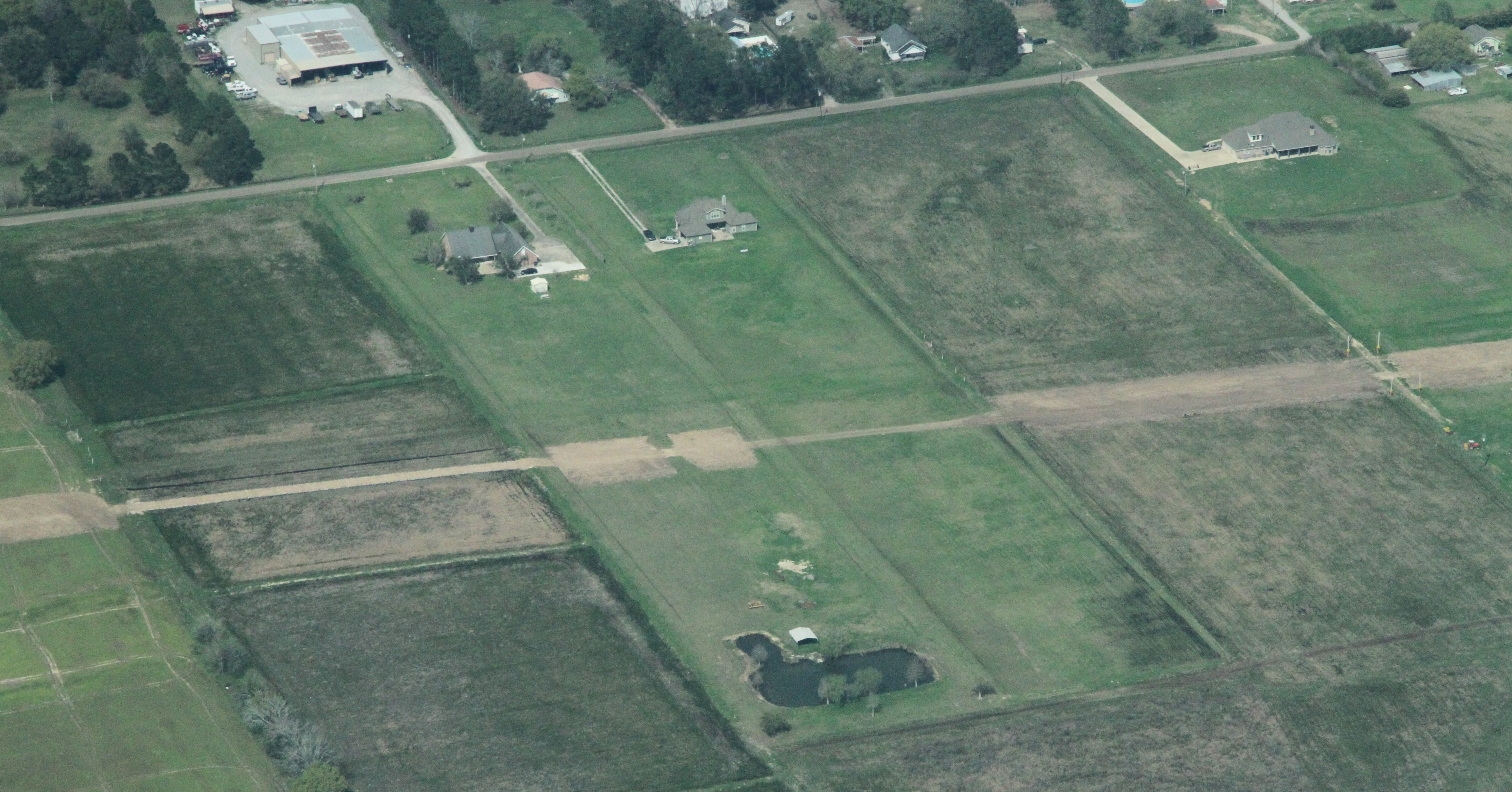
Satellite Map:
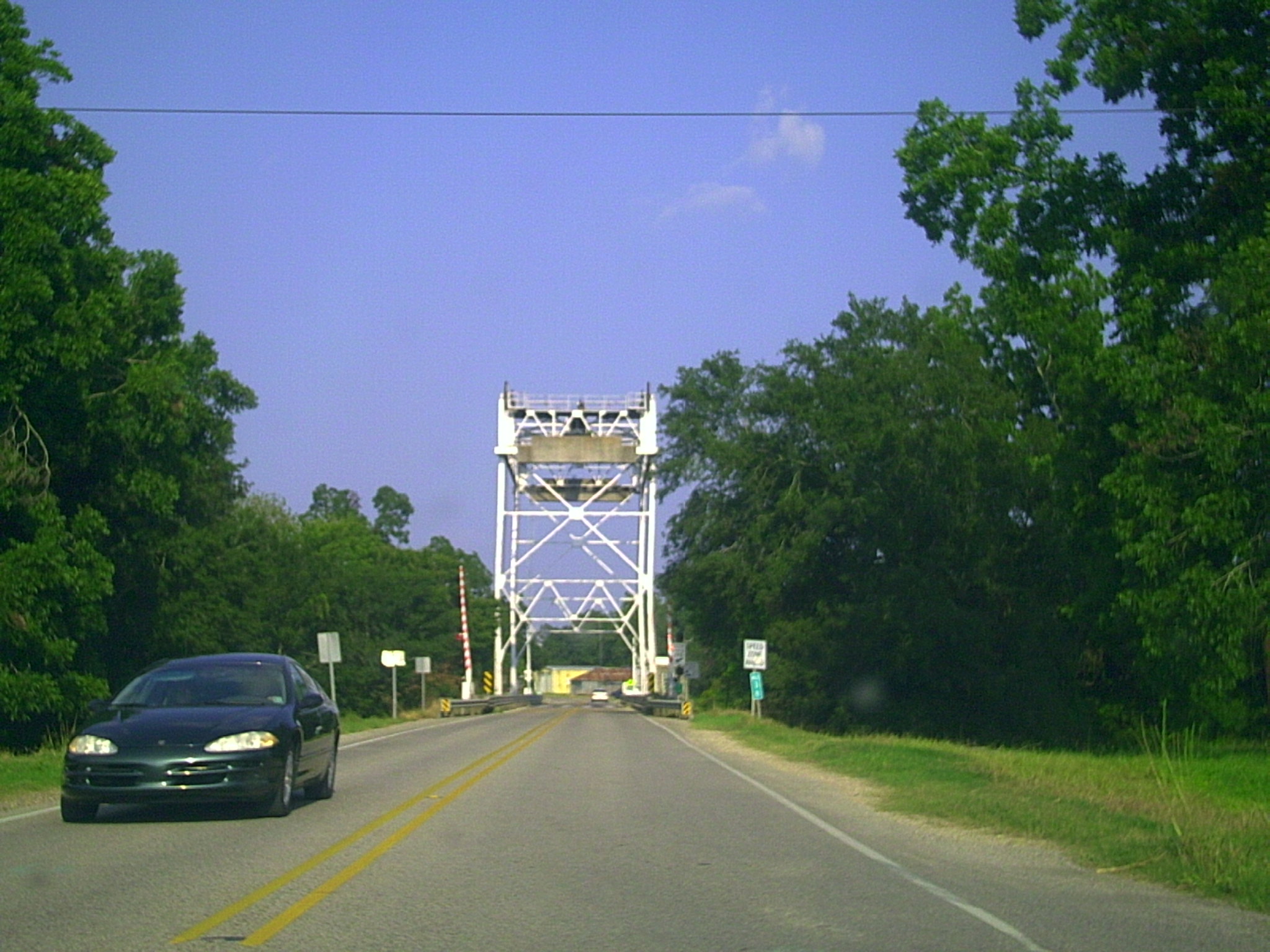
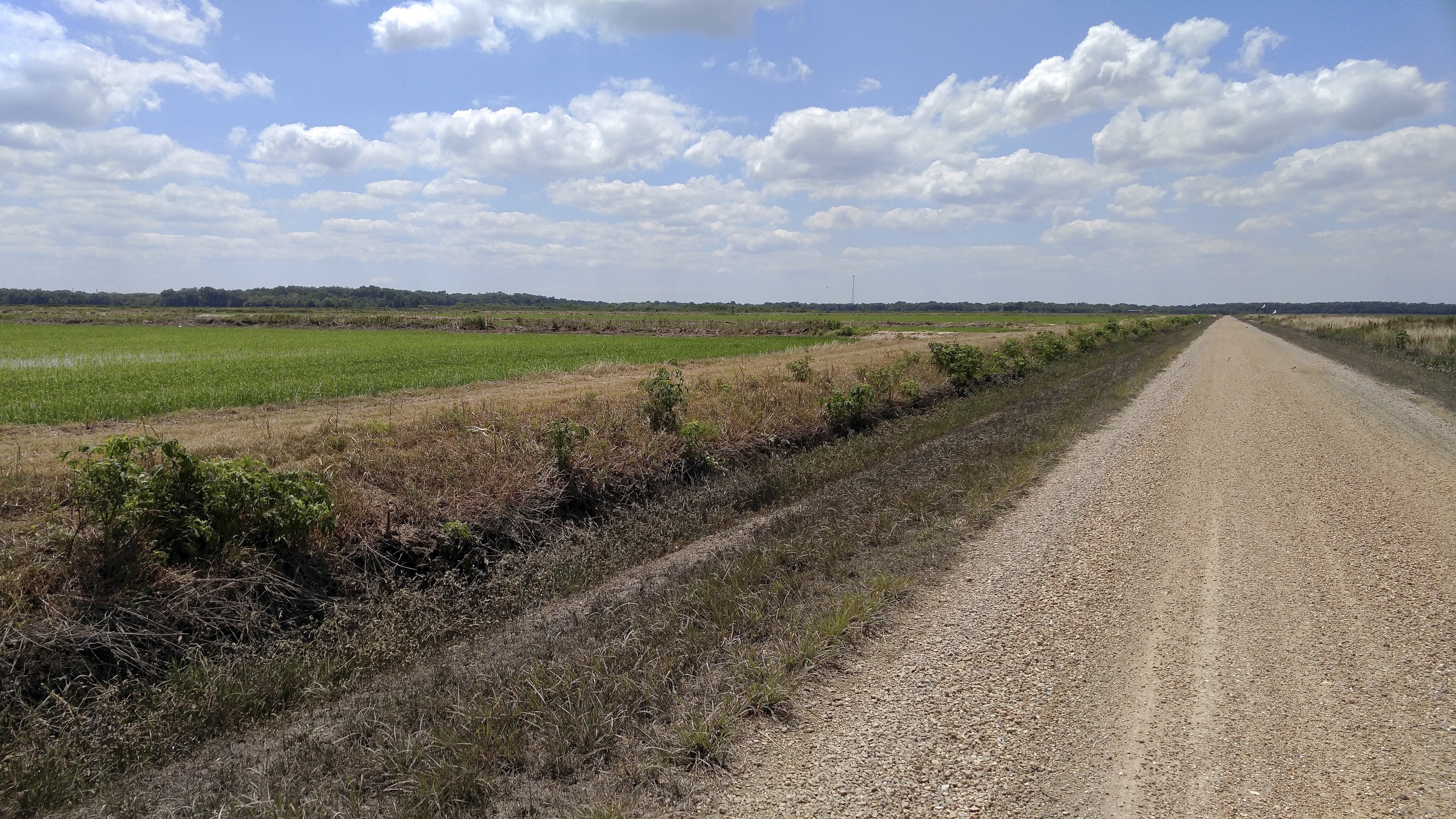
Related Photos:

Abbeville Park

Louisiana Story Historic Marker, Abbeville, LA
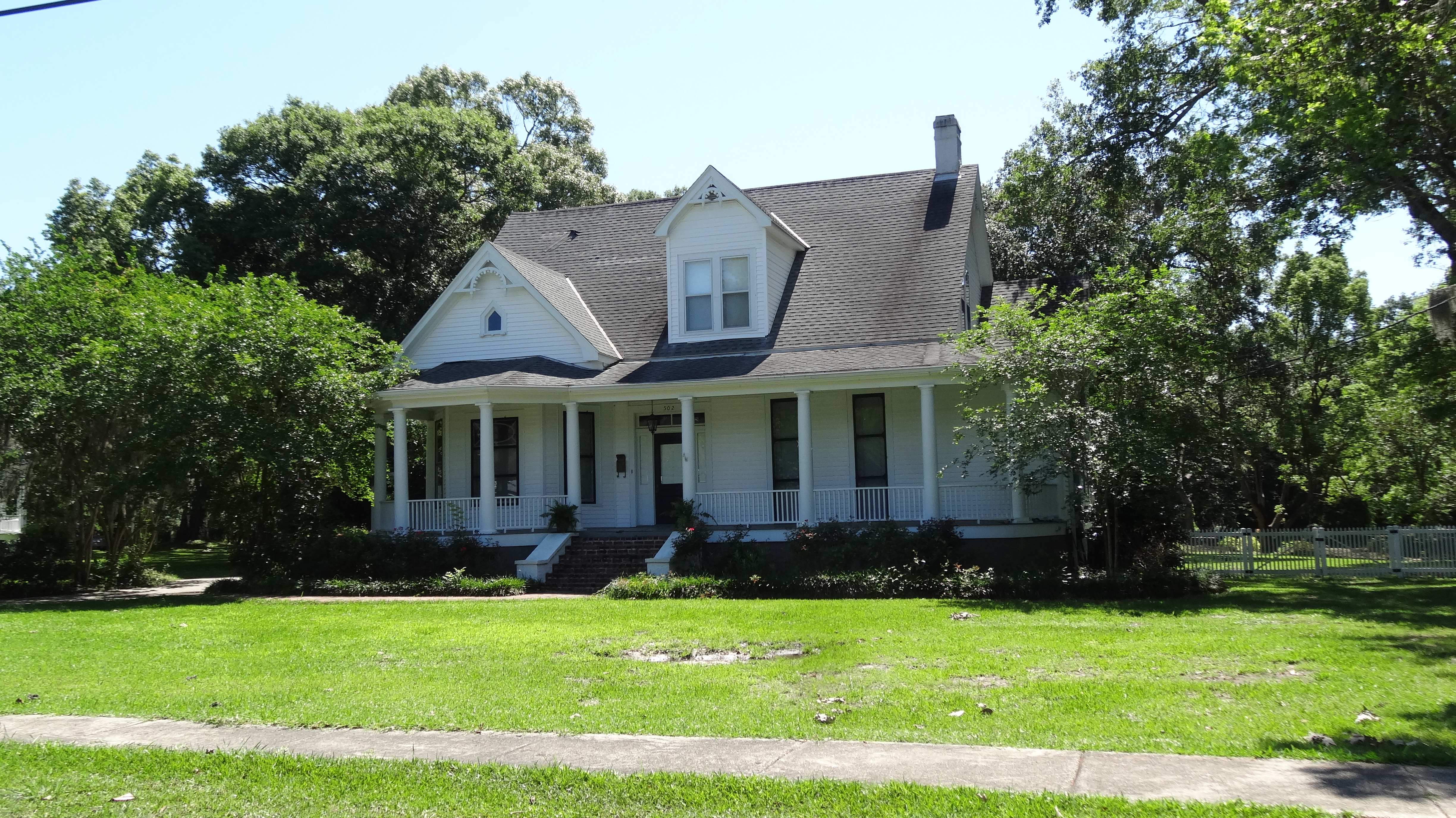
Abbeville, LA
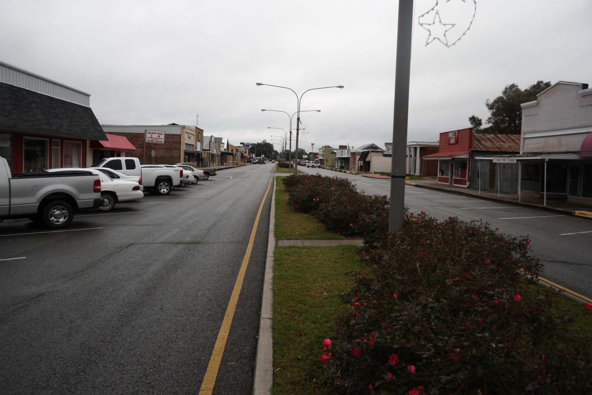
Downtown Kaplan
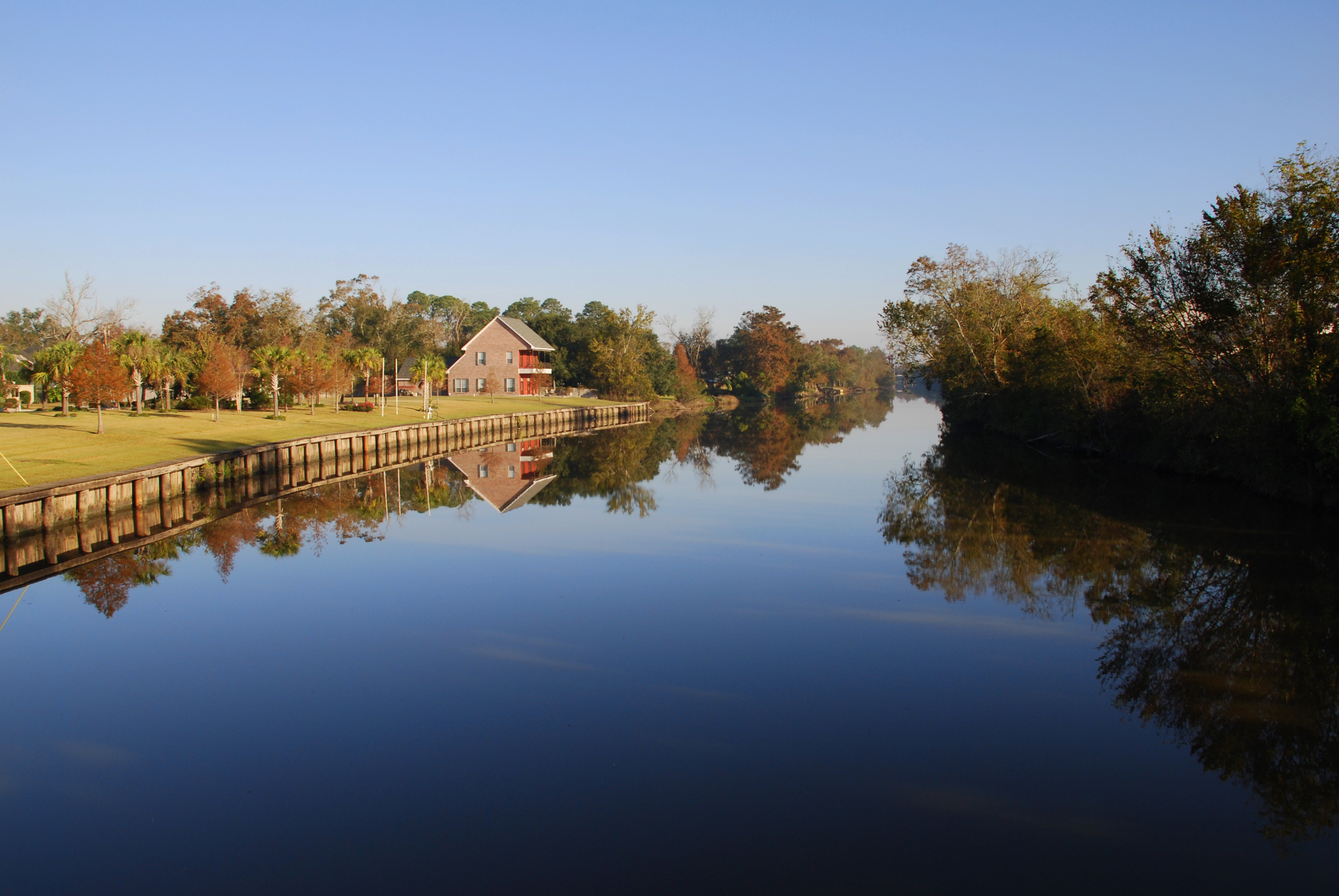
Vermilion River Reflections

Steen's Pure Cane Syrup, Abbeville, LA
Lafayette LA Elias G Bridge
Milton LA Bridge
Toups Rd.
a IMG_4435 indian bayou
a IMG_4464 (2) crowley staging
a IMG_4452 (2)

Our place at Abbeville RV Park
a IMG_4487 (2) crowley topsoil separation
SP3VE080 Bore Pit MP 68.6 hwy 35 near Honey Man Rd

a IMG_1550
a IMG_4420 indian bayou

a IMG_1540
Pipeline takes a cut of the american dream
a IMG_4439 (2) crowley

Gladu Rd.
Topographic Map of LA-, Kaplan, LA, USA
Find elevation by address:

Places near LA-, Kaplan, LA, USA:
LA-, Kaplan, LA, USA
LA-, Kaplan, LA, USA
2936 Dubose Rd
2, LA, USA
2201 Dubose Rd
Heritance Circle
LA-, Maurice, LA, USA
Leroy Road
801 La-700
2534 La-343
20310 Gib Rd
20310 Gib Rd
10635 La-92
311 Lakefront Dr
339 Monceaux Rd
5529 Trailwood Rd
5802 Trailwood Rd
114 Arabie Ln
147 Domingue Rd
2314 Wades Rd
Recent Searches:
- Elevation of Corso Fratelli Cairoli, 35, Macerata MC, Italy
- Elevation of Tallevast Rd, Sarasota, FL, USA
- Elevation of 4th St E, Sonoma, CA, USA
- Elevation of Black Hollow Rd, Pennsdale, PA, USA
- Elevation of Oakland Ave, Williamsport, PA, USA
- Elevation of Pedrógão Grande, Portugal
- Elevation of Klee Dr, Martinsburg, WV, USA
- Elevation of Via Roma, Pieranica CR, Italy
- Elevation of Tavkvetili Mountain, Georgia
- Elevation of Hartfords Bluff Cir, Mt Pleasant, SC, USA