Elevation of La Harpe, IL, USA
Location: United States > Illinois > Hancock County > La Harpe Township >
Longitude: -90.969305
Latitude: 40.5833749
Elevation: 213m / 699feet
Barometric Pressure: 99KPa
Elevation Map:
Satellite Map:
Related Photos:
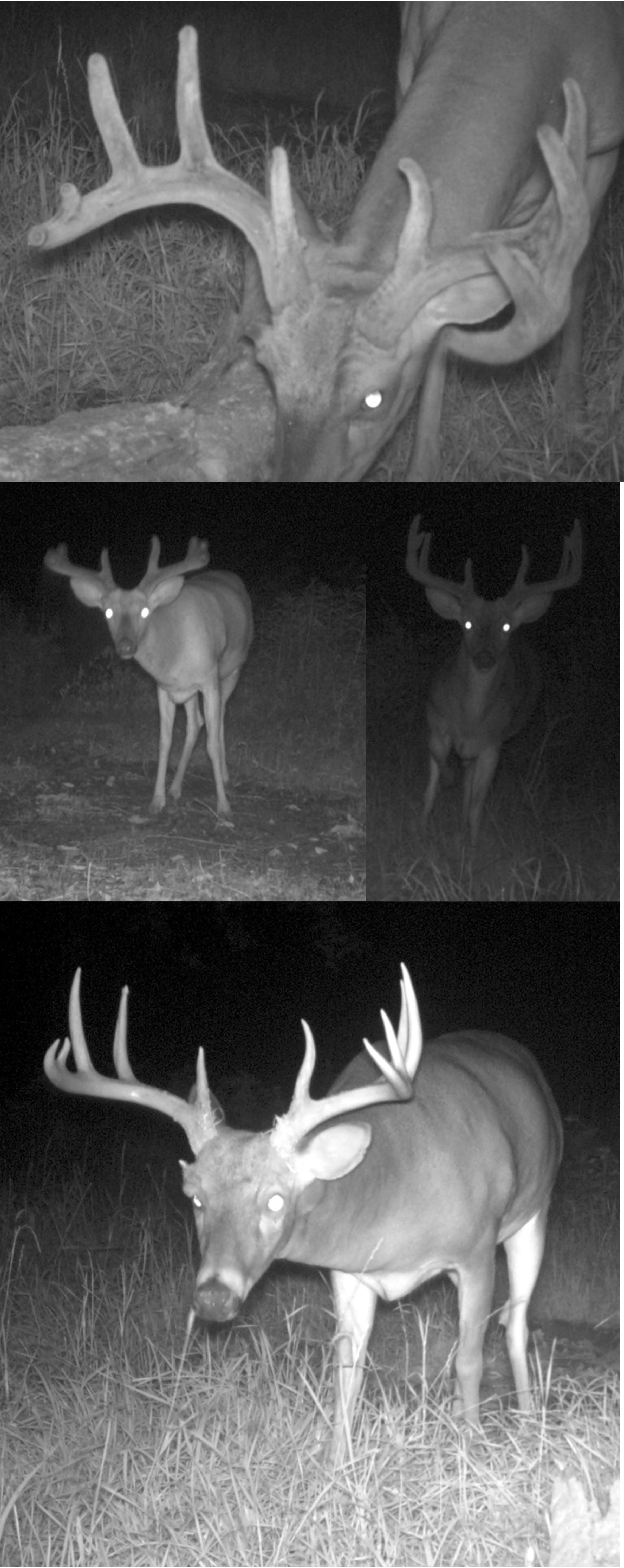
Shifty Brows!
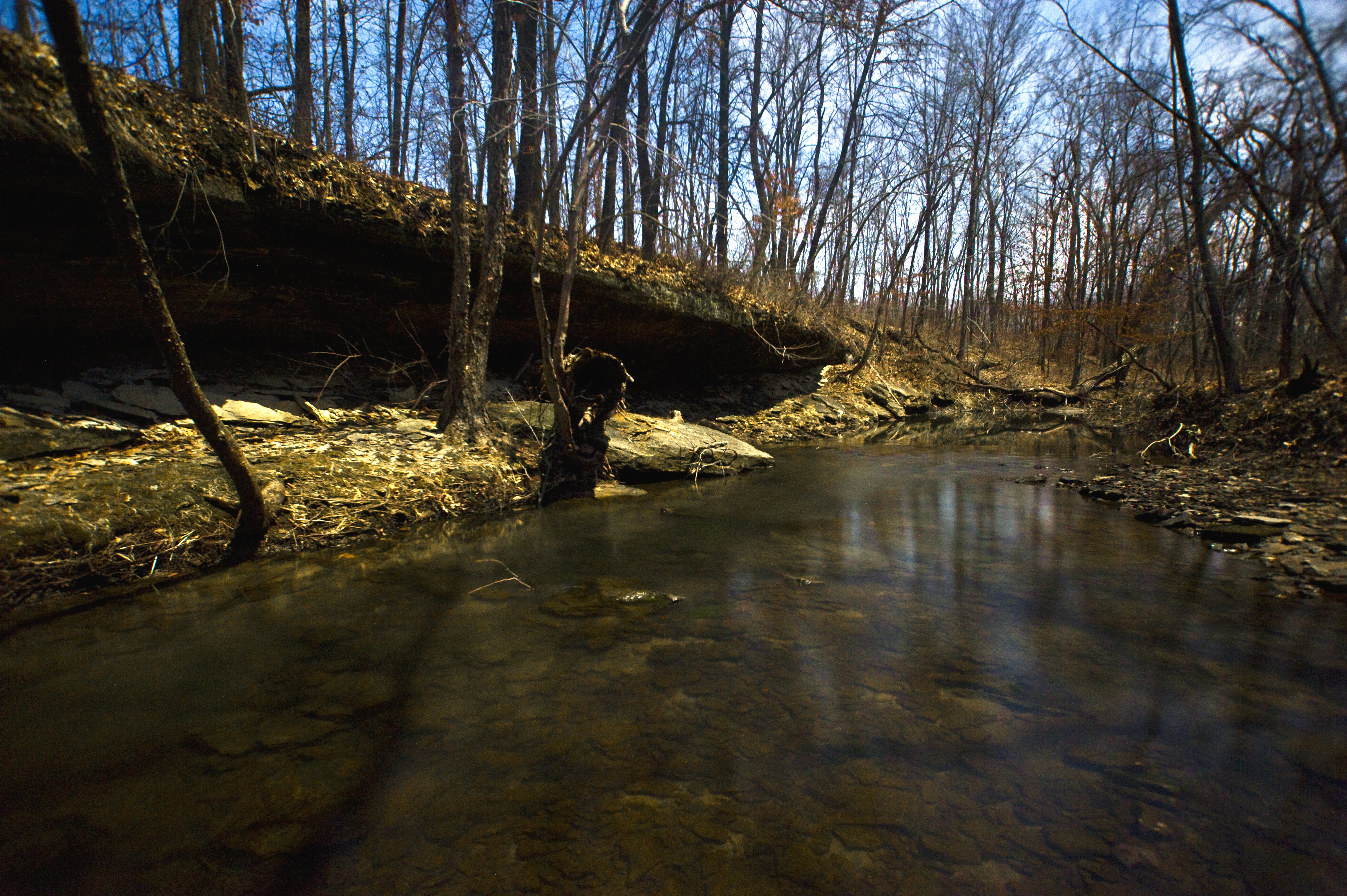
Big Rock, view upstream

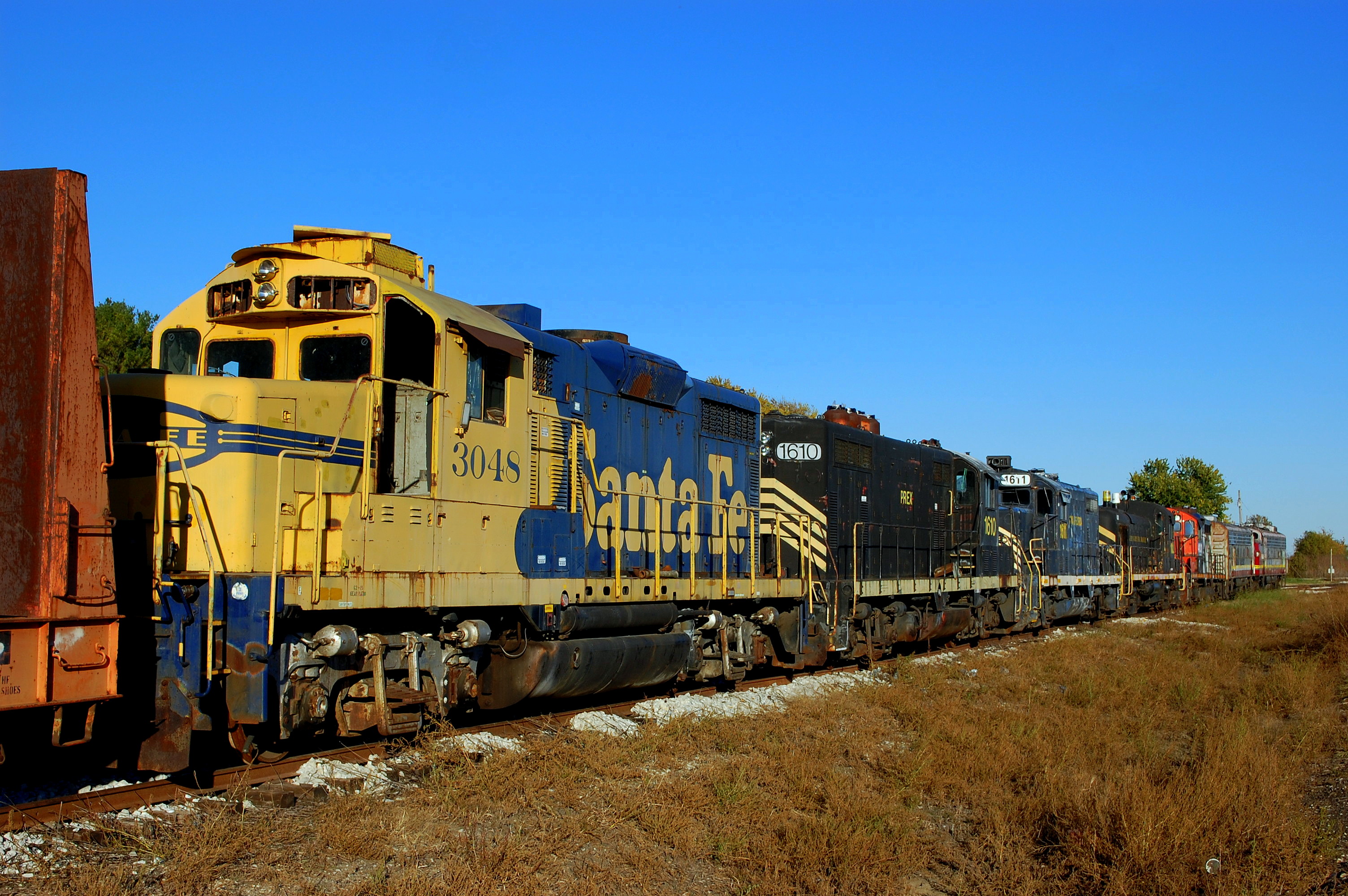
Lots of old relics at the KJRY La Harpe, IL Shops

Returning to the Daily Grind

On the Wye in Laharpe

Algoma Central
Pioneer Lineup

Pioneer Lineup

Santa Fe 878 - 8/17/1995
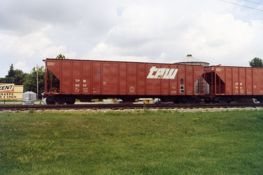
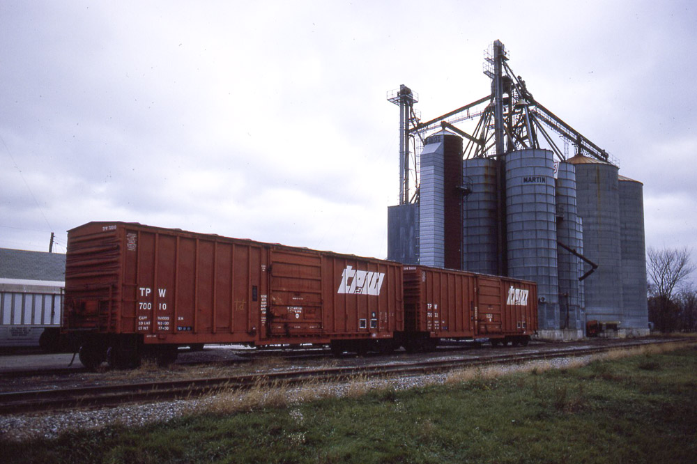
TP&W freight car; La Harpe IL on 6/5/81

Keokuk Junction GP20s at La Harpe, Illinois
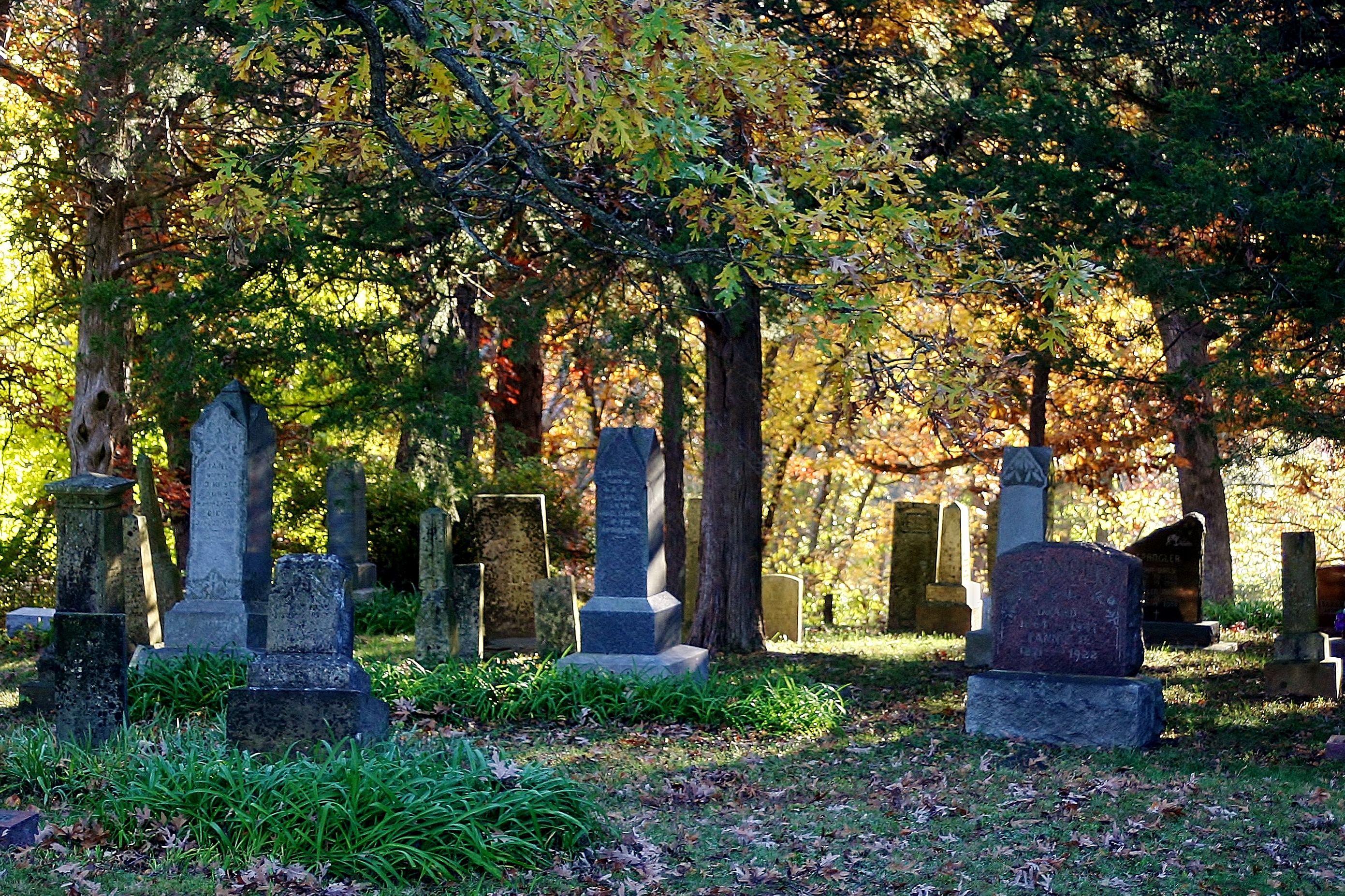
Spangler Cemerty
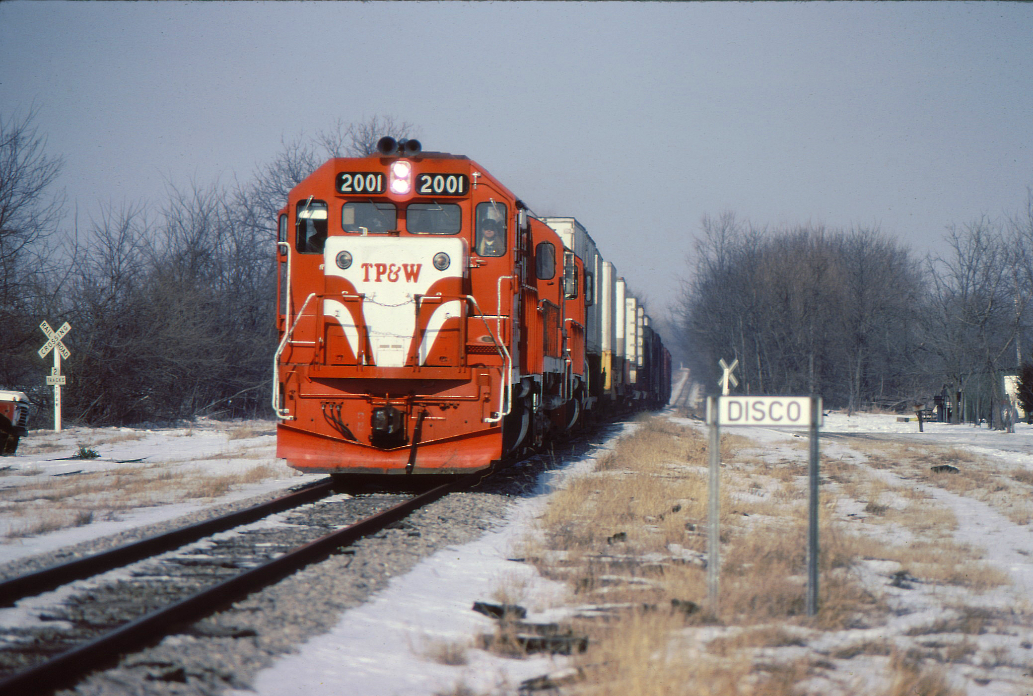
Disco is Dead!

BNSF 7381 - 6/16/2014
TP&W boxcars at Blandinsville IL on 11/11/83
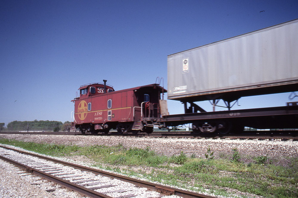
Santa Fe caboose trails an eastbound at Lomax IL on 5/23/83
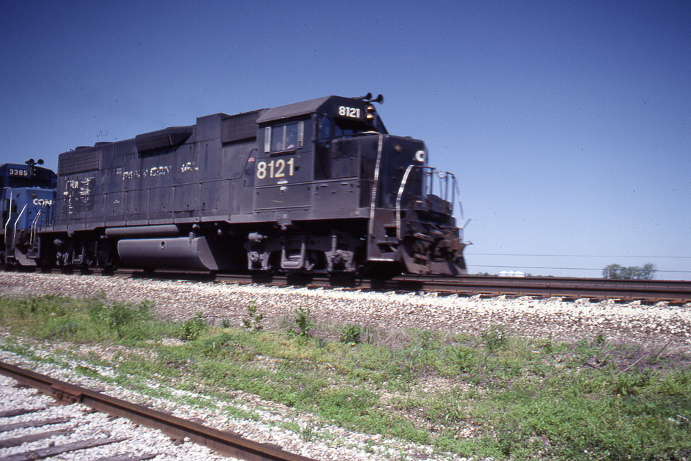
Conrail GP38-2 #8121 leads an eastbound on Santa Fe trackage at Lomax IL on 5/23/83

Conrail GP38-2 #8121 leads an eastbound on Santa Fe trackage at Lomax IL on 5/23/83

Conrail GP38-2 #8121 leads an eastbound on Santa Fe trackage at Lomax IL on 5/23/83
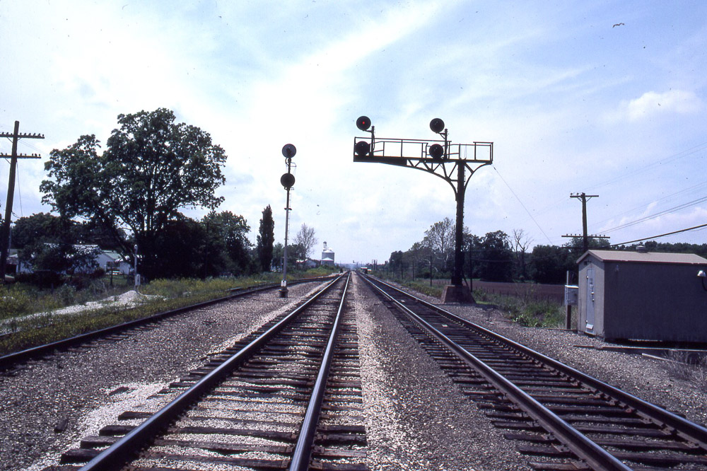
TP&W trackage joining the Santa Fe main near Lomax IL on 6/5/81
TP&W trackage approaching the Santa Fe main near Lomax IL on 6/5/81

TPW 2003

123. into darkness

122. hello/goodbye
Topographic Map of La Harpe, IL, USA
Find elevation by address:

Places in La Harpe, IL, USA:
Places near La Harpe, IL, USA:
E Main St, La Harpe, IL, USA
La Harpe Township
Blandinsville
E Washington St, Blandinsville, IL, USA
Blandinsville Township
Lomax
Lomax Township
2974-2968
Raritan Township
209 S Division St
Hancock Township
Raritan
Main St, Raritan, IL, USA
Carthage Township
640 Argyle Park Rd
Argyle Lake State Park
Sciota
County Rd E, Sciota, IL, USA
Concordia
Sullivan Slough Rd, Burlington, IA, USA
Recent Searches:
- Elevation of Corso Fratelli Cairoli, 35, Macerata MC, Italy
- Elevation of Tallevast Rd, Sarasota, FL, USA
- Elevation of 4th St E, Sonoma, CA, USA
- Elevation of Black Hollow Rd, Pennsdale, PA, USA
- Elevation of Oakland Ave, Williamsport, PA, USA
- Elevation of Pedrógão Grande, Portugal
- Elevation of Klee Dr, Martinsburg, WV, USA
- Elevation of Via Roma, Pieranica CR, Italy
- Elevation of Tavkvetili Mountain, Georgia
- Elevation of Hartfords Bluff Cir, Mt Pleasant, SC, USA