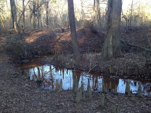
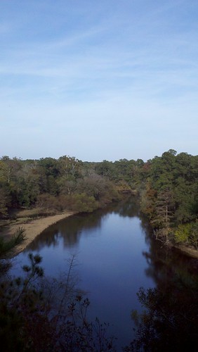
Elevation of La Grange, NC, USA
Location: United States > North Carolina > Lenoir County > Moseley Hall >
Longitude: -77.788033
Latitude: 35.3068292
Elevation: 33m / 108feet
Barometric Pressure: 101KPa
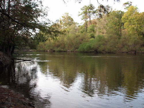
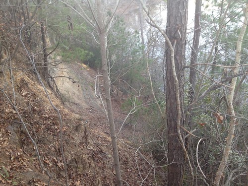
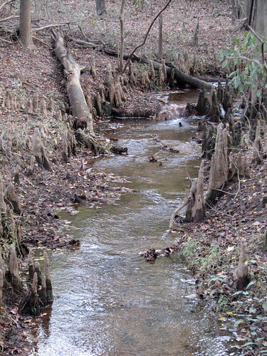
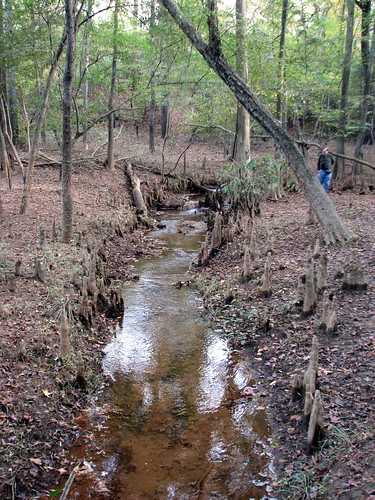
Related Photos:
Topographic Map of La Grange, NC, USA
Find elevation by address:

Places in La Grange, NC, USA:
Places near La Grange, NC, USA:
West Washington Street
307 Forest Dr
Moseley Hall
201 Ellington Way
2586 Albert Sugg Rd
Grace's Farm Road
411 Grace's Farm Rd
Walnut Creek
616 Lakeshore Dr
201 Sevendales Dr
626 Lakeshore Dr
210 Clay Rd
Louie Pollock Road
4180 Davis-hardy Rd
101 Solara Dr
101 Main St
Seven Springs
118 Leafwood Dr
Moss Hill Ruritan Building
New Hope
Recent Searches:
- Elevation of Corso Fratelli Cairoli, 35, Macerata MC, Italy
- Elevation of Tallevast Rd, Sarasota, FL, USA
- Elevation of 4th St E, Sonoma, CA, USA
- Elevation of Black Hollow Rd, Pennsdale, PA, USA
- Elevation of Oakland Ave, Williamsport, PA, USA
- Elevation of Pedrógão Grande, Portugal
- Elevation of Klee Dr, Martinsburg, WV, USA
- Elevation of Via Roma, Pieranica CR, Italy
- Elevation of Tavkvetili Mountain, Georgia
- Elevation of Hartfords Bluff Cir, Mt Pleasant, SC, USA


