Elevation of La Ferté-Imbault, France
Location: France > Centre > Loir-et-cher >
Longitude: 1.954481
Latitude: 47.385759
Elevation: 98m / 322feet
Barometric Pressure: 100KPa
Elevation Map:
Satellite Map:
Related Photos:
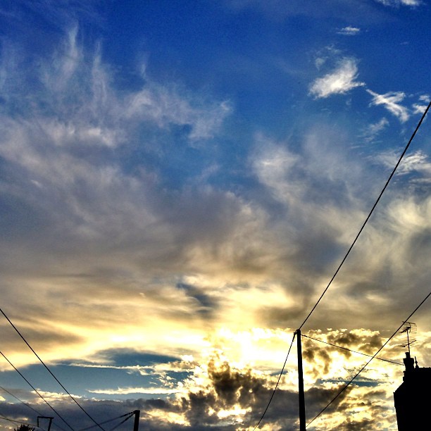
#sunset #sunrise #sun #TagsForLikes #TFLers #pretty #beautiful #red #orange #pink #sky #skyporn #cloudporn #nature #clouds #horizon #photooftheday #instagood #gorgeous #warm #view #night #morning #silhouette #instasky #all_sunsets

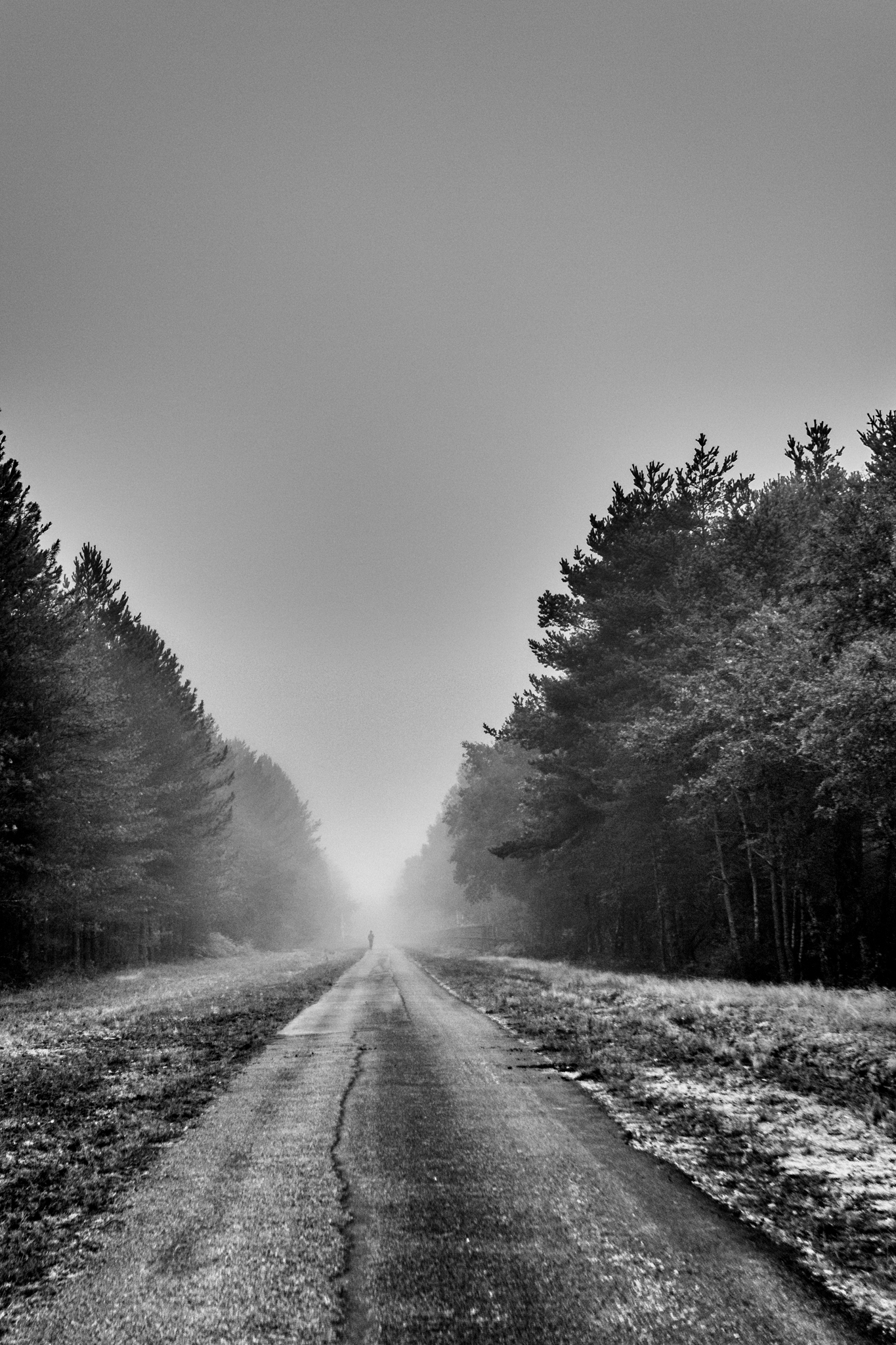
Road to twin Peaks
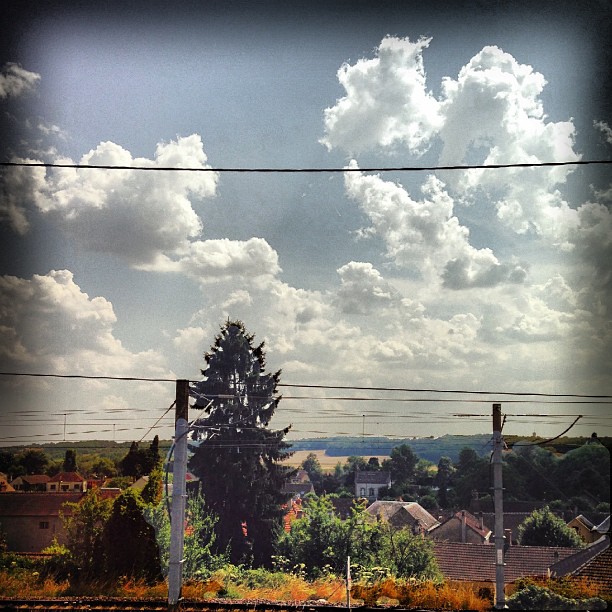
Created with layrs app @layrsapp #layrs#nature #TagsForLikes #sky #sun #summer #beach #beautiful #pretty #sunset #sunrise #blue #flowers #night #tree #twilight #clouds #beauty #light #cloudporn #photooftheday #love #green #skylovers #dusk #weather #day #r
avant l'orage détail
Rencontre du troisième type
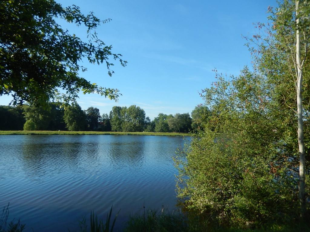
Au fil de l'eau

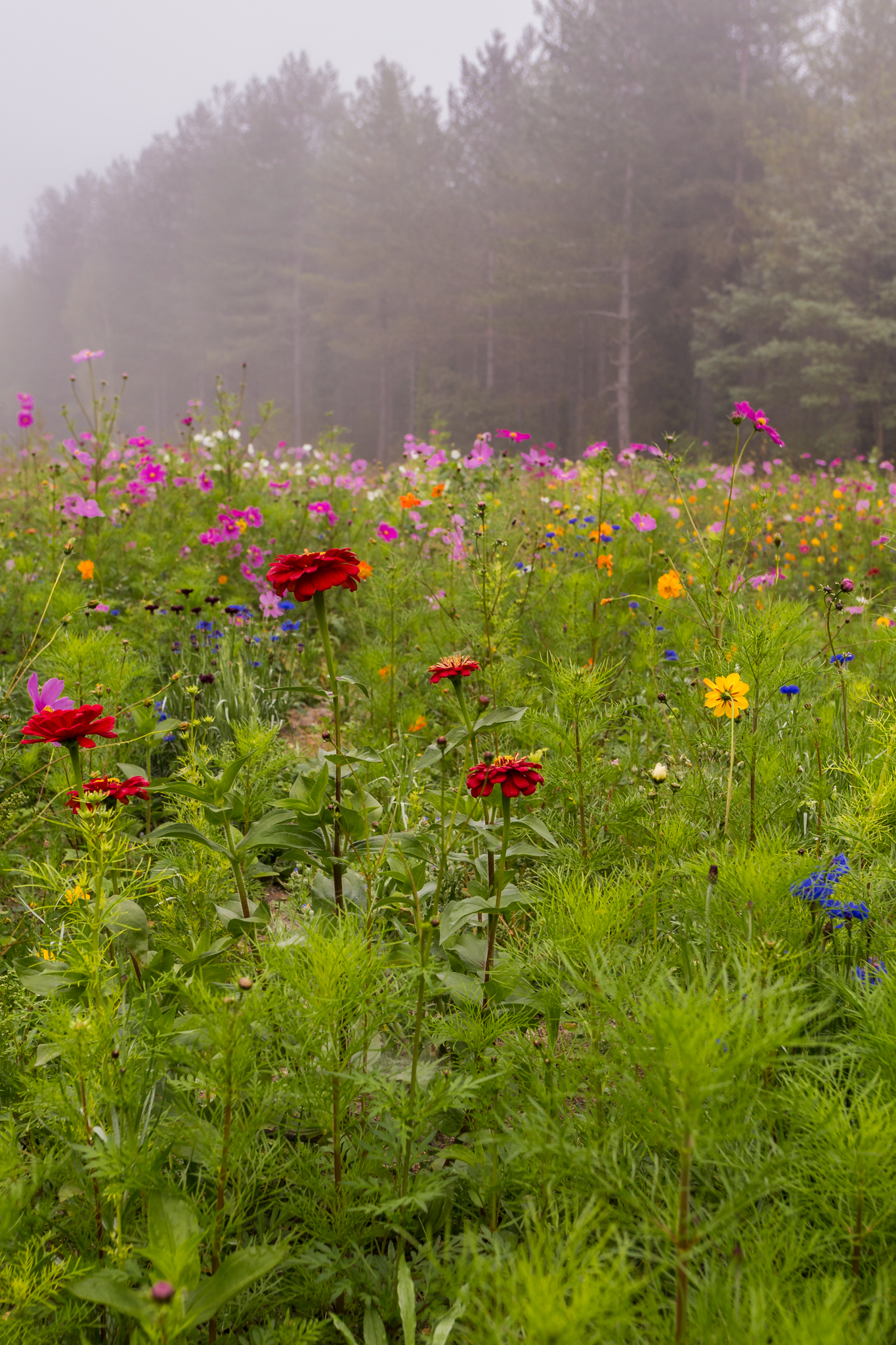
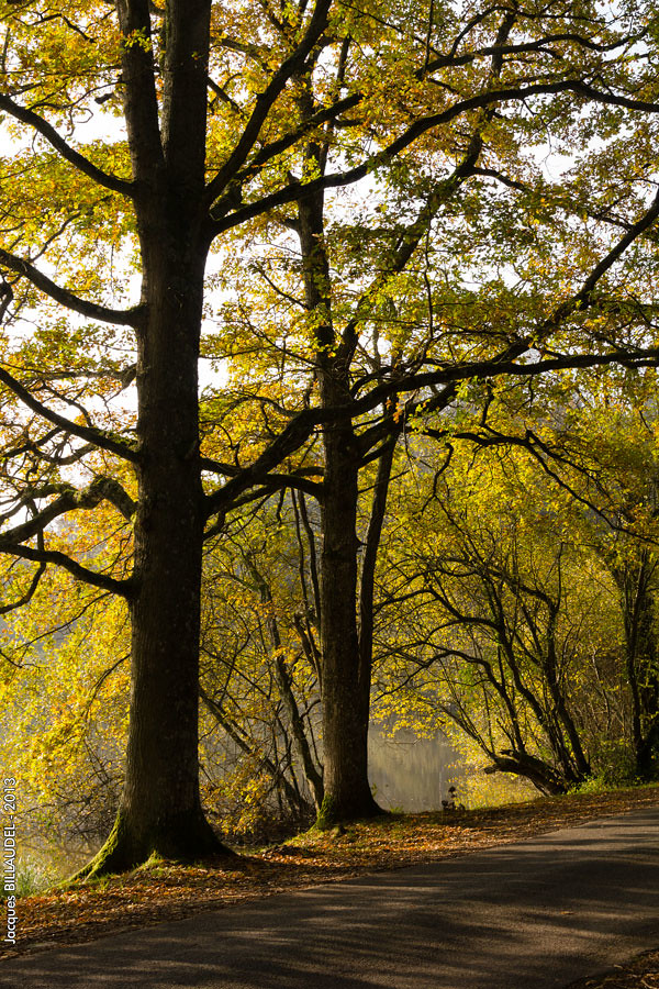
Jachère en Sologne
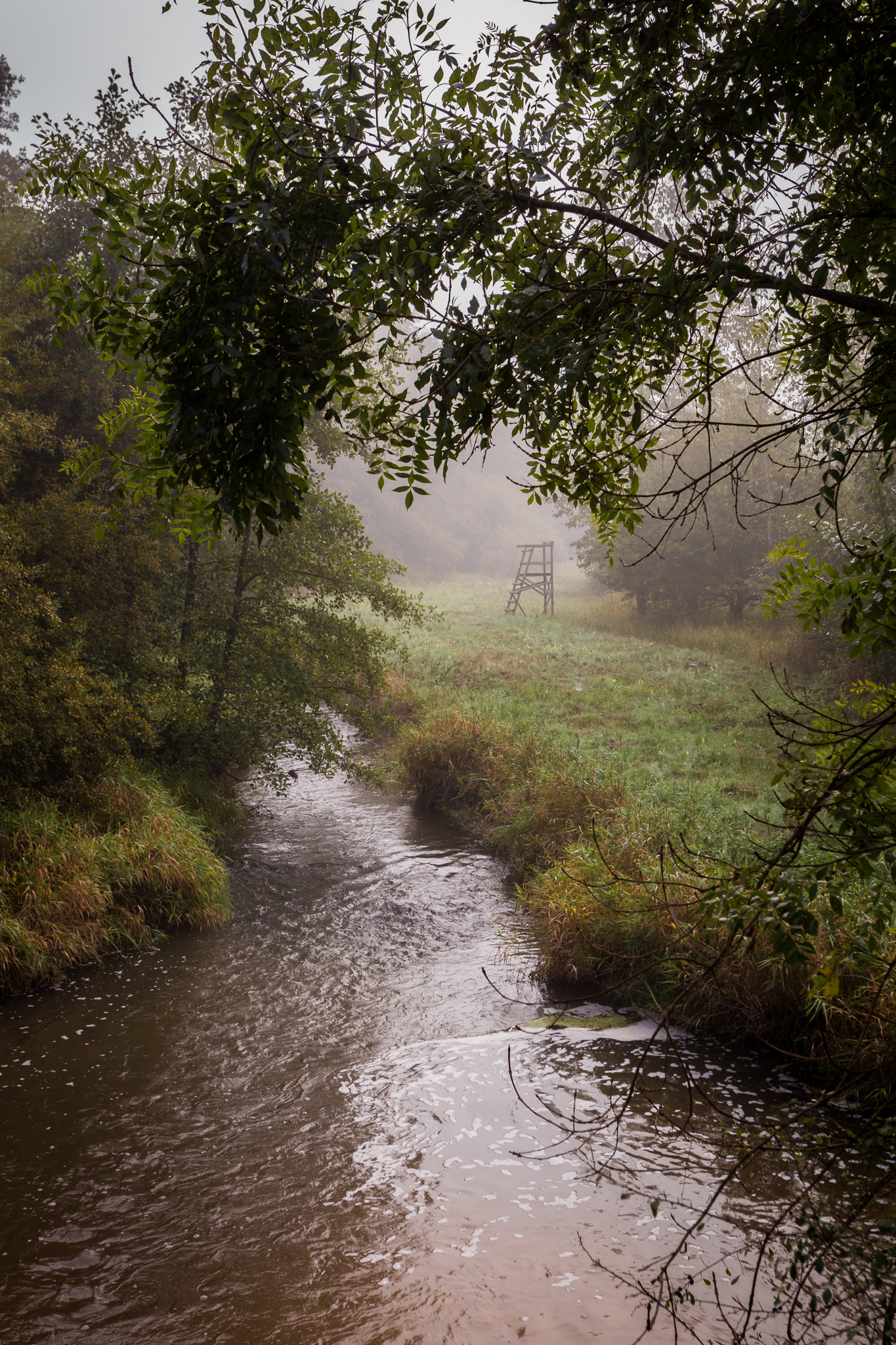
Jachère et brouillard
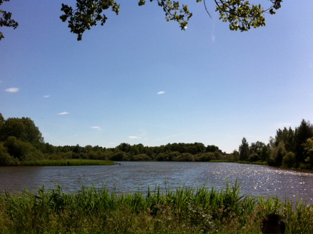
photo 1
The Lake at Camping De Solagne
Marcilly-en-Gault - Loir-et-Cher

The water level in the river through Romoratin-Lathenay was still very high mid June

The water level in the river through Romoratin-Lathenay was still very high mid June
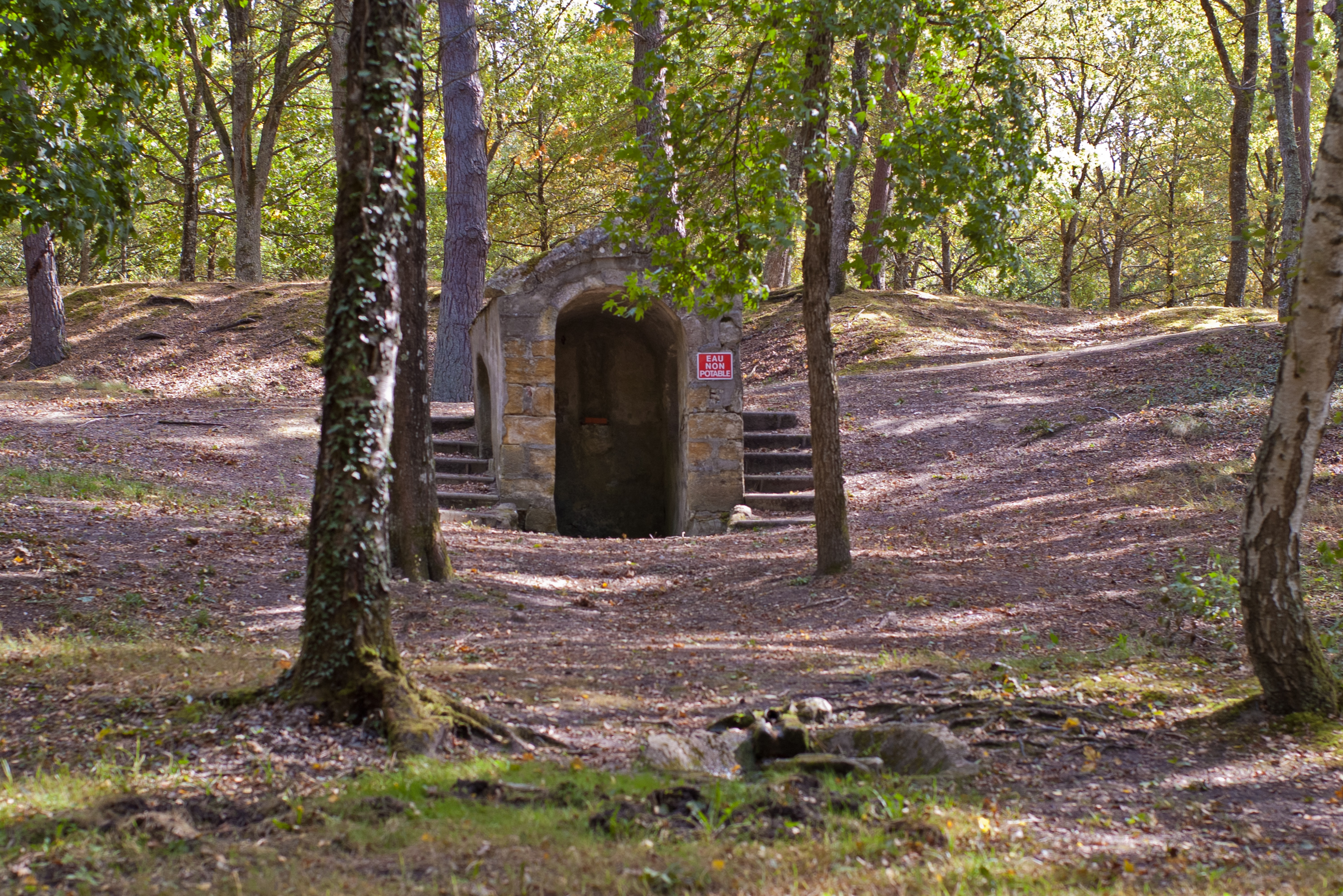
Selles-Saint-Denis (Loir-et-Cher).

Theilley -Loir-et-Cher
Topographic Map of La Ferté-Imbault, France
Find elevation by address:

Places in La Ferté-Imbault, France:
Places near La Ferté-Imbault, France:
5 Rue des Fossés, La Ferté-Imbault, France
Méry-sur-cher
36 Route du Tertre, Méry-sur-Cher, France
20 Chemin des Bruyères, Romorantin-Lanthenay, France
Romorantin-lanthenay
Nohant-en-graçay
2 Route de Lenay, Nohant-en-Graçay, France
11 Cornereau, Dun-le-Poëlier, France
Dun-le-poëlier
Lury-sur-arnon
2 Route de Quincy, Lury-sur-Arnon, France
7 Le Bourg, Saint-Pierre-de-Jards, France
Saint-pierre-de-jards
49 Rue Victor Hugo, Pruniers-en-Sologne, France
Pruniers-en-sologne
Saint-laurent
13 Route de la Couturanderie, Saint-Laurent, France
Gièvres
10 Gr Grande Rue, Villeny, France
Villeny
Recent Searches:
- Elevation of Corso Fratelli Cairoli, 35, Macerata MC, Italy
- Elevation of Tallevast Rd, Sarasota, FL, USA
- Elevation of 4th St E, Sonoma, CA, USA
- Elevation of Black Hollow Rd, Pennsdale, PA, USA
- Elevation of Oakland Ave, Williamsport, PA, USA
- Elevation of Pedrógão Grande, Portugal
- Elevation of Klee Dr, Martinsburg, WV, USA
- Elevation of Via Roma, Pieranica CR, Italy
- Elevation of Tavkvetili Mountain, Georgia
- Elevation of Hartfords Bluff Cir, Mt Pleasant, SC, USA